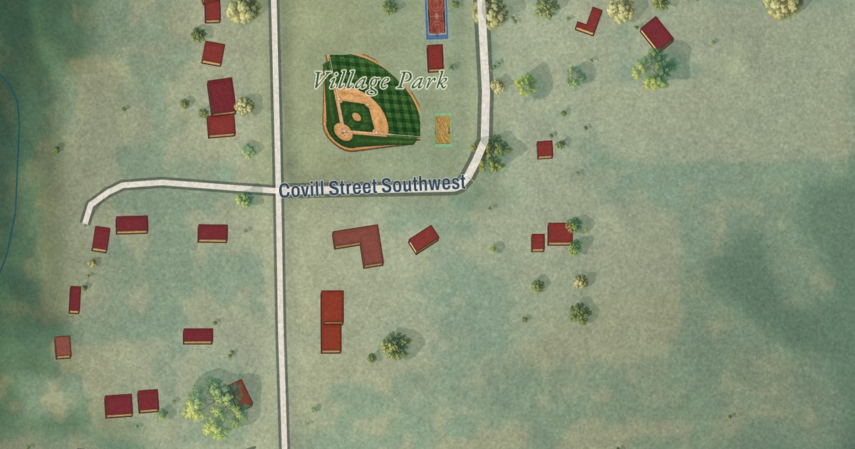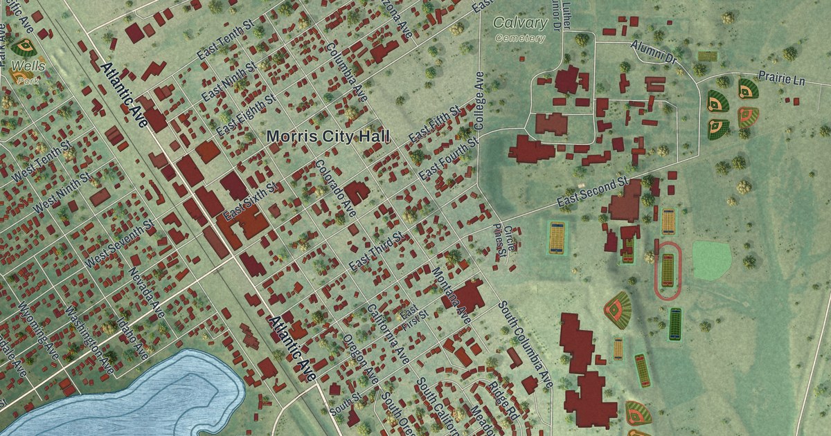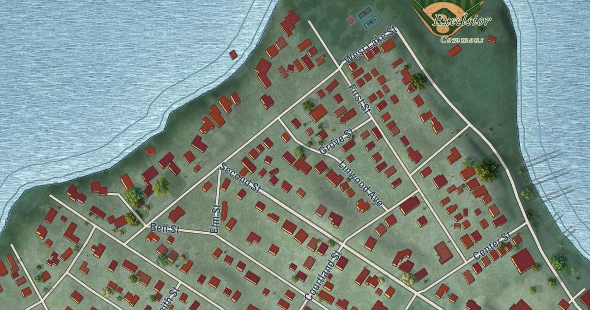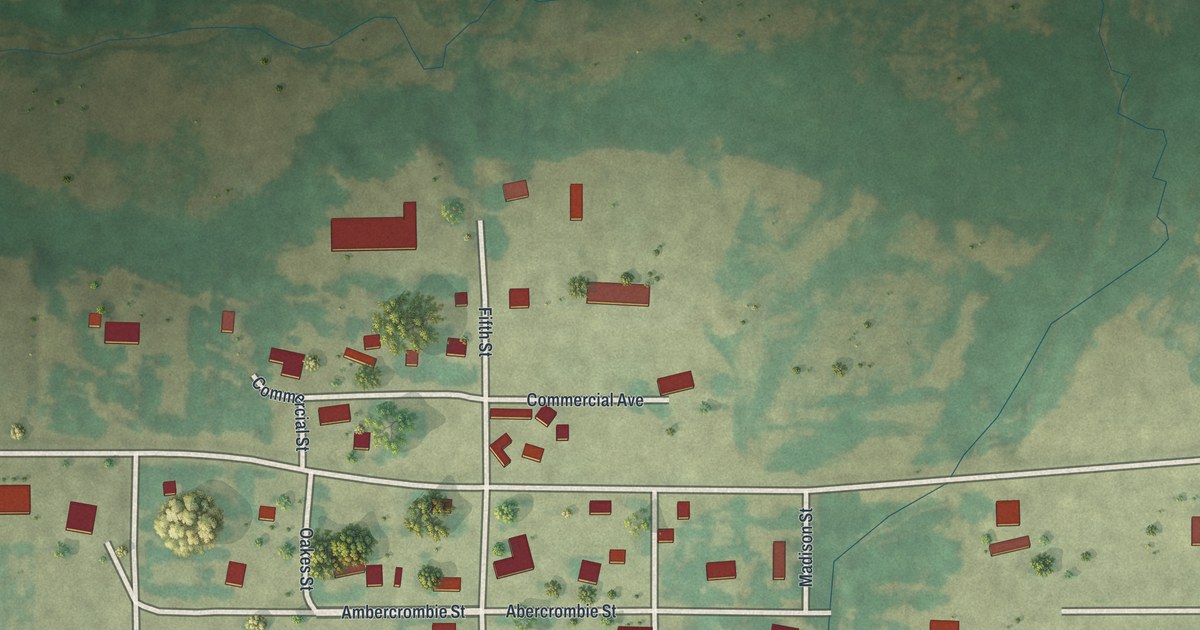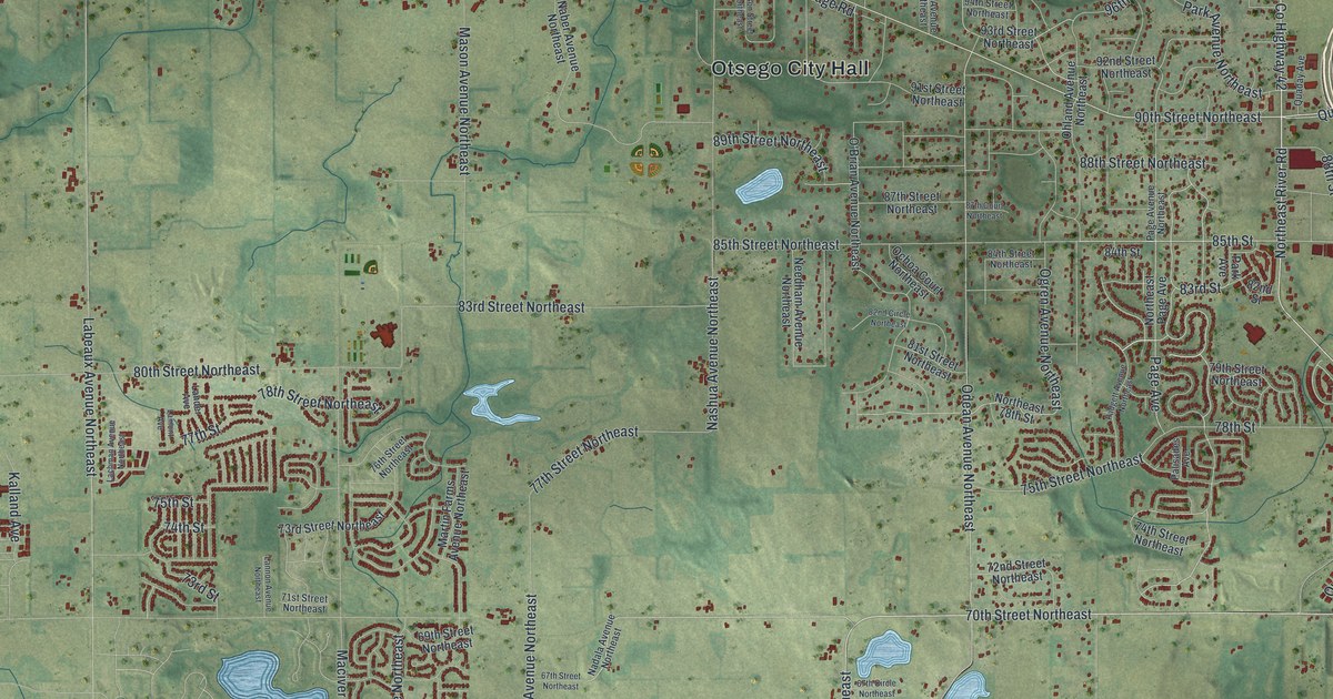
This beautifully detailed map of Otsego, Minnesota was created in 2026 using aerial imagery combined with modern topographical, census, street and landmark data. It’s a one-of-a-kind view of Otsego that combines accurate data with a vintage aesthetic. The map shows every building in its true location, many of the roads carry their names, and the shaded topographic relief shows the shape of the land.
Explore an aerial view of Otsego, Minnesota
On the map you’ll find Otsego City Hall, along with 70th Street Northeast, County Highway 37, 90th Street Northeast, Oakwood Avenue Northeast, County Highway 42, Quantrelle Avenue, Page Avenue, River Road Northeast, Parrish Avenue Northeast, Northeast River Road, 95th Street Northeast, and more. If you look closely you can even find your house accurately drawn in its correct location. Zoom in on the preview to look for yours.
Did you know this piece of Otsego, Minnesota history?
From the 1920 Minnesota Geographic Names: "Otsego township, first settled in October, 1852, organized in 1858, and its village on the Mississippi, were named for a lake, a township, and a county in New York."
Take a closer look at the Otsego map
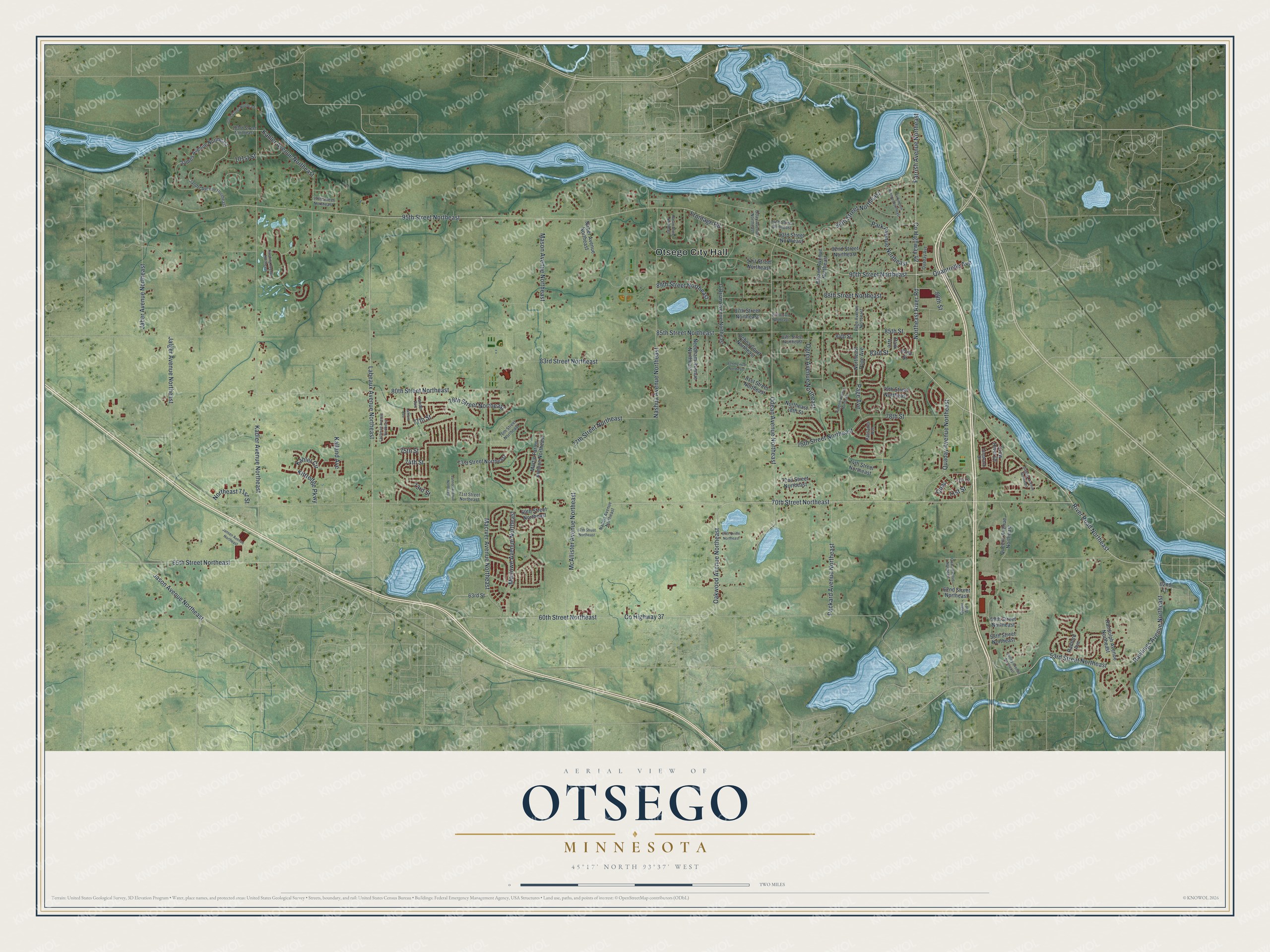
Street and place names on the Otsego, Minnesota map
These names are printed on the map of Otsego, Minnesota.
Places: Otsego City Hall.
Streets and roads: 70th Street Northeast, County Highway 37, 90th Street Northeast, Oakwood Avenue Northeast, County Highway 42, Quantrelle Avenue, Page Avenue, River Road Northeast, Parrish Avenue Northeast, Northeast River Road, 95th Street Northeast, 75th Street Northeast.
More street names, A to Z
53rd Street Northeast, 58th Street Northeast, 59th Street Northeast, 60th Street Northeast, 62nd Lane, 62nd Street Northeast, 63rd Street, 65th Street Northeast, 67th Circle Northeast, 67th Street Northeast, 69th Street Northeast, 71st Lane, 71st Street, 71st Street Northeast, 72nd Street Northeast, 73rd Street, 73rd Street Northeast, 74th Street, 74th Street Northeast, 75th Street, 76th Street Northeast, 77th Street, 77th Street Northeast, 78th Street, 78th Street Northeast, 79th Street Northeast, 80th Street Northeast, 81st Street Northeast, 82nd Circle Northeast, 82nd Street, 83rd Street, 83rd Street Northeast, 84th Street, 84th Street Northeast, 85th Street, 85th Street Northeast, 87th Court Northeast, 87th Street Northeast, 88th Street, 88th Street Northeast, 89th Street Northeast, 91st Street Northeast, 92nd Street Northeast, 93rd Street Northeast, 94th Street Northeast, 96th Street Northeast, 97th Street Northeast, 101st Street, 103rd Street Northeast, 105th Street Northeast, Crow River Drive, Frontage Road, Jaber Avenue Northeast, Jalger Avenue Northeast, James Avenue Northeast, Jandel Avenue Northeast, Jansen Avenue Northeast, Jason Avenue Northeast, Kadler Avenue Northeast, Kaeding Avenue Northeast, Kahler Avenue Northeast, Kahler Circle, Kalland Avenue, Kittredge Parkway, Labeaux Avenue Northeast, Lachman Avenue Northeast, Lamont Avenue, Lander Avenue, Lannon Avenue Northeast, Maciver Avenue Northeast, Marlowe Avenue Northeast, Martin Farms Avenue Northeast, Mason Avenue Northeast, McAllister Avenue Northeast, Naber Avenue Northeast, Nadala Avenue Northeast, Nashua Avenue Northeast, Nason Street Northeast, Needham Avenue Northeast, Northeast 71st Street, Northeast 78th Street, Northeast Page Avenue, O'Brian Avenue Northeast, Ochoa Court Northeast, Oday Avenue Northeast, Odean Avenue Northeast, Ogren Avenue Northeast, Ohland Avenue Northeast, Packard Avenue Northeast, Padgett Avenue Northeast, Page Avenue Northeast, Palisades Avenue, Park Avenue, Park Avenue Northeast, Parkington Avenue Northeast, Quaday Avenue, Quaday Avenue Northeast, Quail, Quale Avenue Northeast, Quam Avenue, Queens Avenue Northeast, Quigley Avenue Northeast, Quilley Avenue Northeast, Radford Avenue, Randolph Avenue Northeast, Rawlings Avenue Northeast, Tamarack Drive.
See the Otsego, Minnesota map on a wall
The Otsego map as an 18 x 24 inch print in a black frame.

This beautifully detailed map of Otsego makes an attractive addition to your office, library, or den, and it can even be used to teach children the geography and history of the area. It also makes a great gift for someone who left Otsego and still calls it home. When you’re done exploring, click here to get your copy of the Otsego map.