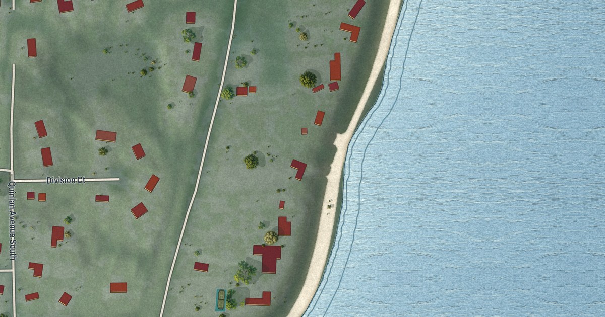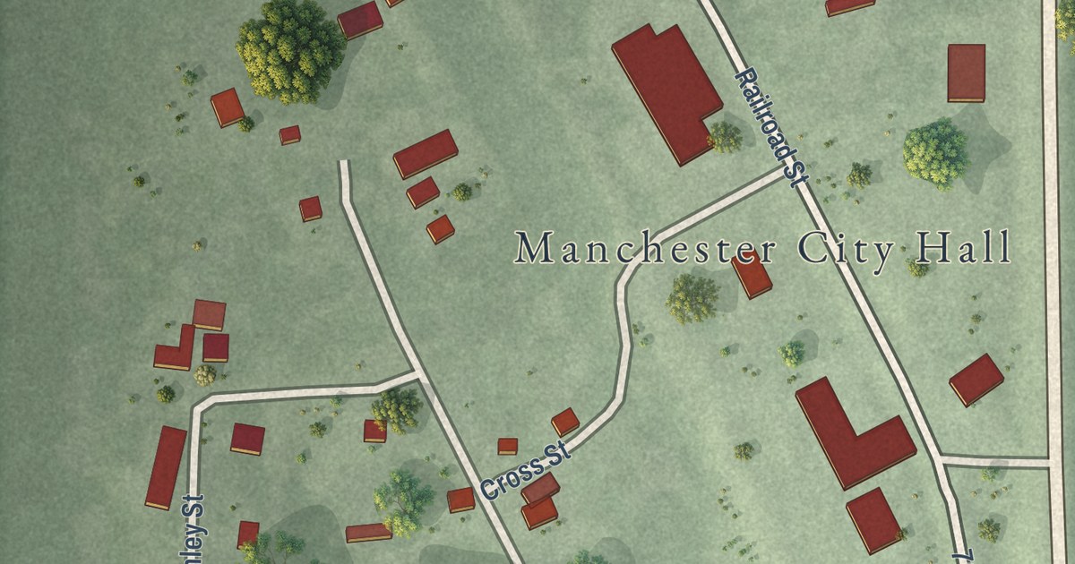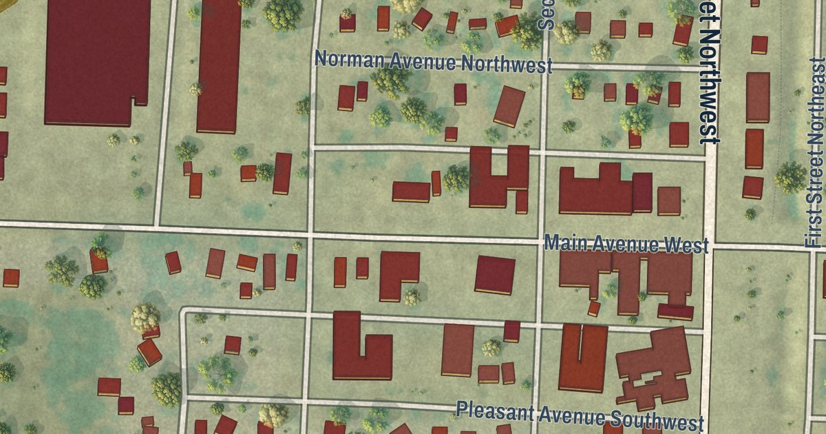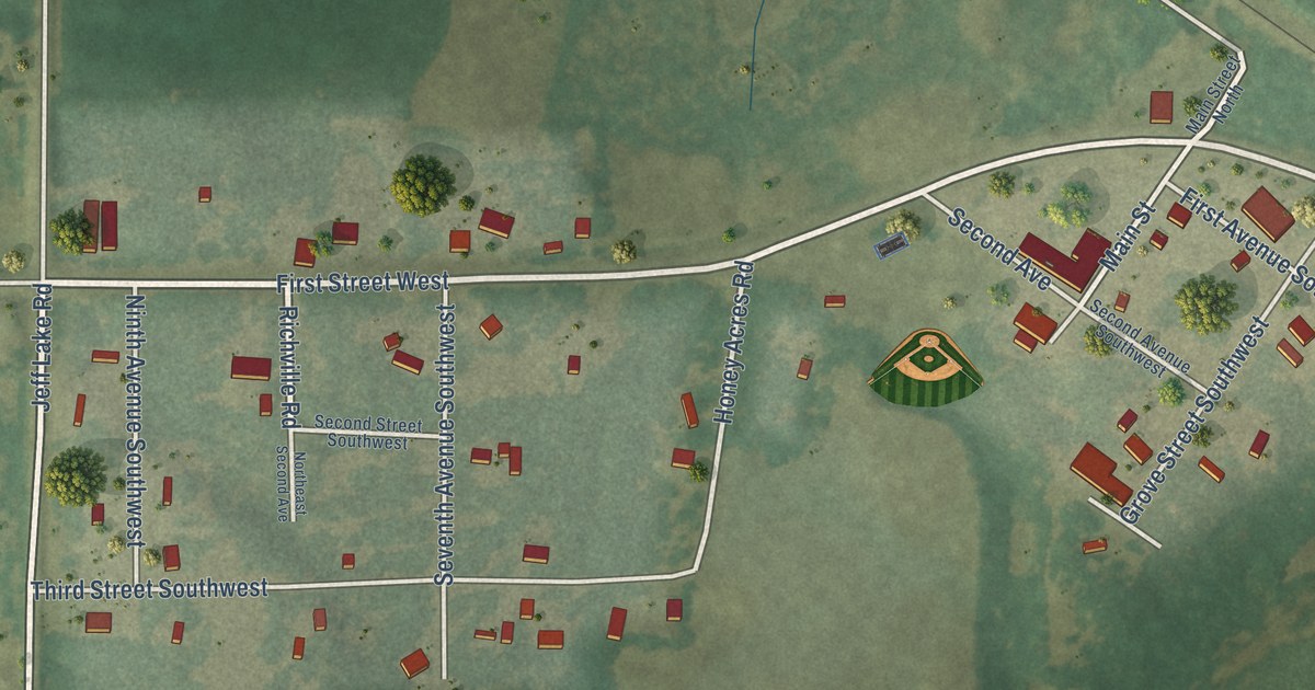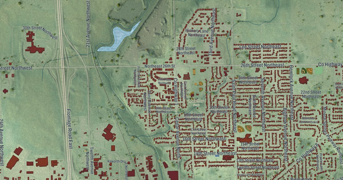
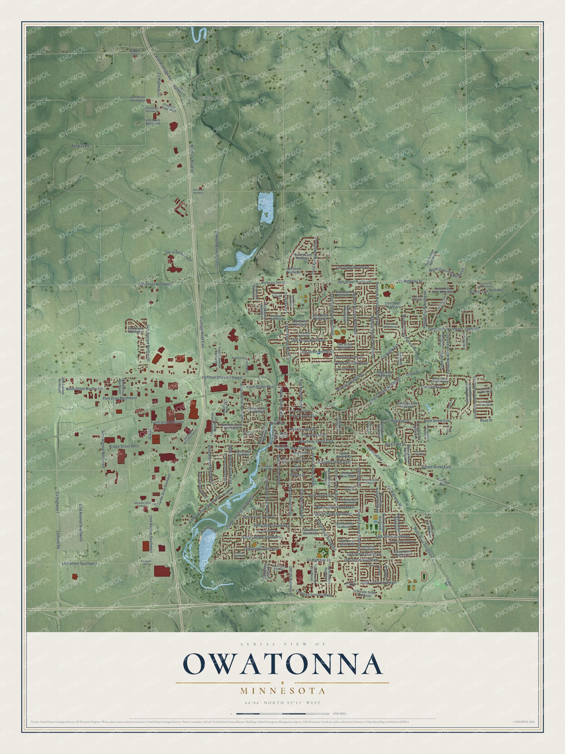
This beautifully detailed map of Owatonna, Minnesota was created in 2026 using aerial imagery combined with modern topographical, census, street and landmark data. It’s a one-of-a-kind view of Owatonna that combines accurate data with a vintage aesthetic. The map shows every building in its true location, many of the roads carry their names, and the shaded topographic relief shows the shape of the land.
Explore an aerial view of Owatonna, Minnesota
On the map you’ll find Clinton Falls, Dartts Park, Fairgrounds Park, and Manthey Park, along with 26th Street Northeast, County Highway 34, County Highway 8, State Avenue Northwest, 26th Street Northwest, Kenyon Road Northeast, East Frontage Road, Oak Avenue North, and more. If you look closely you can even find your house accurately drawn in its correct location. Zoom in on the preview to look for yours.
Did you know this piece of Owatonna, Minnesota history?
From Warren Upham’s 1920 Minnesota Geographic Names: "Owatonna, the county seat, earliest settled in 1854 and platted in September, 1855, was incorporated as a town August 9, 1858, and as a city February 23, 1865."
Take a closer look at the Owatonna map
Street and place names on the Owatonna, Minnesota map
These names are printed on the map of Owatonna, Minnesota.
Places: Clinton Falls, Dartts Park, Fairgrounds Park and Manthey Park.
Streets and roads: 26th Street Northeast, County Highway 34, County Highway 8, State Avenue Northwest, 26th Street Northwest, Kenyon Road Northeast, East Frontage Road, Oak Avenue North, Cherry Street Northeast, Dane Road Northeast, County Highway 7, 24th Avenue Northwest.
More street names, A to Z
13th Street Northeast, 13th Street Southwest, 14th Street Northeast, 14th Street Southeast, 15th Street Northeast, 15th Street Southeast, 16th Street Northeast, 16th Street Southeast, 16th Street Southwest, 17th Street Northeast, 17th Street Southeast, 17th Street Southwest, 18th Street Northwest, 18th Street Southeast, 18th Street Southwest, 19th Street Northeast, 20th Street Northeast, 20th Street Northwest, 21st Avenue Northwest, 22nd Street Northeast, 22nd Street Southeast, 24th Avenue Northeast, 24th Avenue Southwest, 24th Place Northwest, 24th Street, 24th Street Northeast, 28th Avenue Northwest, 28th Street Northeast, 30th Street Northwest, 32nd Avenue Northwest, 33rd Avenue Southwest, 36th Street Northwest, 39th Avenue Northwest, 40th Place Northwest, 43rd Street Northwest, 46th Street Northwest, Academy Street East, Agnes Street East, Alexander Drive Southwest, Alexander Street Southwest, Allan Avenue Southwest, Ashley Lane Southeast, Austin Road Southeast, Autumn Drive Southeast, Barney Street Southwest, Bellflower Lane Northeast, Bigelow Avenue Northeast, Birch Avenue Northeast, Bixby Road, Bixby Road Southeast, Bridge Street West, Broadway Street East, Carriage Lane Northeast, Cedar Avenue North, Cedar Avenue South, Cedardale Drive Southeast, Cherry Street, Chestnut Avenue Northeast, Clover Lane Southeast, Countryview Avenue Northeast, County Highway 1, County Highway 19, County Highway 22, County Highway 23, County Highway 39, County Highway 48, Creek View Lane Northeast, Crestview Lane, Crestview Lane Northeast, Dane Road, Deer Trail Lane Northeast, Diablo Drive, Dunnell Drive Northwest, East School Street, El Dorado Street Southeast, Elm Avenue North, Elm Avenue South, First Avenue Northeast, Flora Street Northwest, Florence Avenue Northwest, Fourth Avenue Northwest, Fourth Avenue Southeast, Fourth Street Northwest, Fox Hollow Lane Northeast, Fremont Street East, Frontage Road East, Frontage Road West, Front Street East, Gandrud Road, Glendale Street Northwest, Greenhaven Lane Northeast, Grove Avenue South, Haddonstone Lane Northeast, Harriet Avenue Southeast, Hartle Avenue Southeast, Havana Road Southeast, Hayes Avenue Southeast, Hazel Lane Northeast, Hazeltine Avenue, Hazeltine Place, Hemlock Avenue Northeast, Hickory Lane Northeast, Hilltop Avenue Southwest, Hoffman Drive Northwest, Holly Street Southwest, Jadden Lane Southeast, Kilworth Drive Northwest, Kim Lane Southwest, Kohlmier Drive, Lee Street Northeast, Lemond Road, Lemond Road Southwest, Lincoln Avenue South, Linn Avenue Southwest, Linn Drive Southwest, Main Street East, Main Street West, Majestic Lane Northeast, McIndoe Street Southeast, McKinley Street Southwest, Mill Street East, Mineral Springs Parkway Northeast, Mineral Springs Road, Minnesota Avenue Southeast, Mosher Avenue Southwest, Mound Street Southwest, Murray Street Southeast, Ninth Street Northwest, North County Road 45, Northeast 26th Street, North Street West, Northwest 50th Street, Oak Avenue South, Oakdale Drive Northeast, Oakdale Street Southwest, Oakview Drive, Oakwood Lane Northeast, Old US Highway 14, Park Drive Northwest, Park Street Southeast, Partridge Avenue, Partridge Avenue Northeast, Pearl Street East, Phelps Street, Phelps Street East, Prairie Lane Northeast, Prospect Street East, Rice Lake Street, Rice Street East, Richway Lane Southeast, Ridge Road Northeast, Riverside Avenue Northwest, Riverwood Drive, Robinhood Lane Southeast, Rose Street, Rose Street East, Rose Street West, Runway Road, Sage Lane Northeast, Saint John Drive Northwest, Saint Paul Road Northeast, School Street East, School Street West, Selby Avenue Southwest, Seventh Avenue Northeast, Shady Avenue Southeast, Sixth Avenue Northeast, Smith Avenue Southeast, South Street East, Southwest 18th Street, Sunlight Avenue, Sylvan Street Northwest, Third Avenue Northeast, Third Avenue Northwest, Timberwood Lane Northeast, Truman Avenue Southeast, Twelfth Avenue Northwest, Twelfth Street Northeast, Twelfth Street Southeast, University Street Southeast, Vine Street East, Walnut Avenue Northeast, Wedgewood Drive Northeast, West Rice Street, West Vine Street, White Oak Lane Northeast, Willow Avenue Northeast, Woodcrest Avenue Northeast.
See the Owatonna, Minnesota map on a wall
The Owatonna map as an 18 x 24 inch print in a black frame.

This beautifully detailed map of Owatonna makes an attractive addition to your office, library, or den, and it can even be used to teach children the geography and history of the area. It also makes a great gift for anyone with Owatonna roots. When you’re done exploring, click here to get your copy of the Owatonna map.