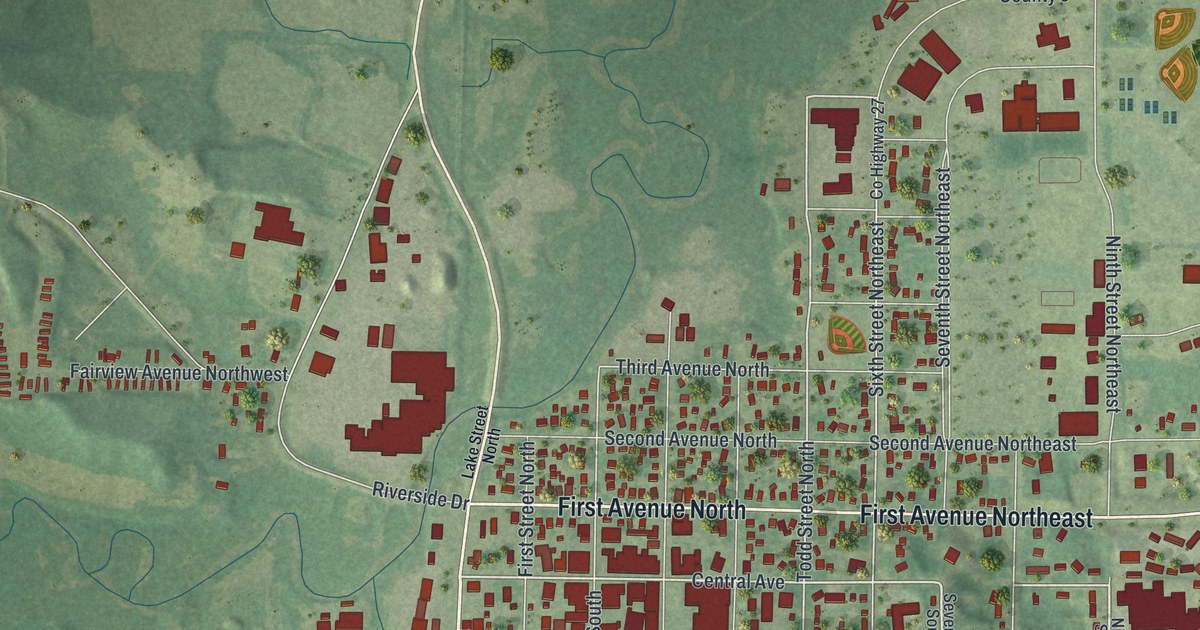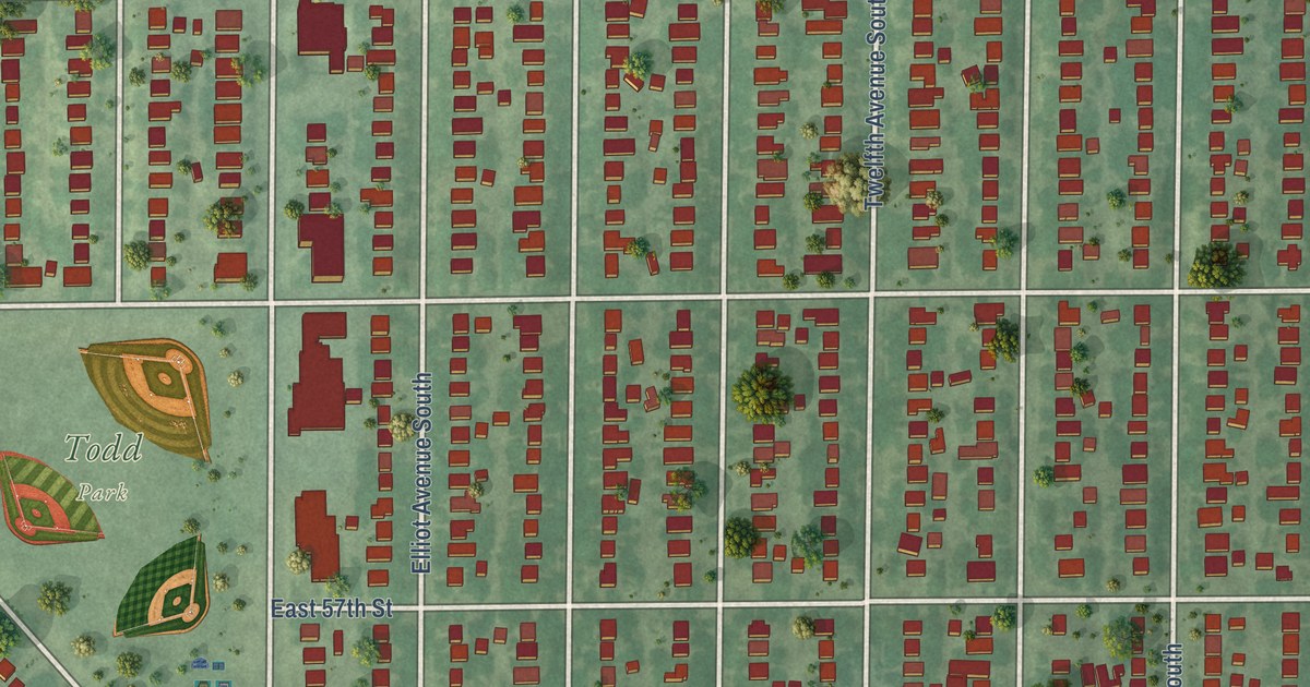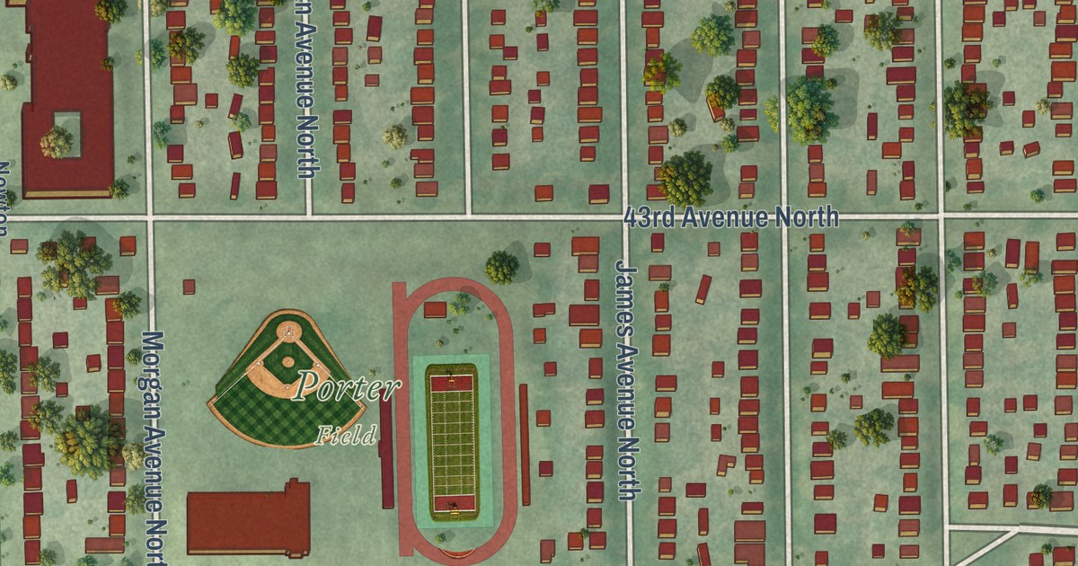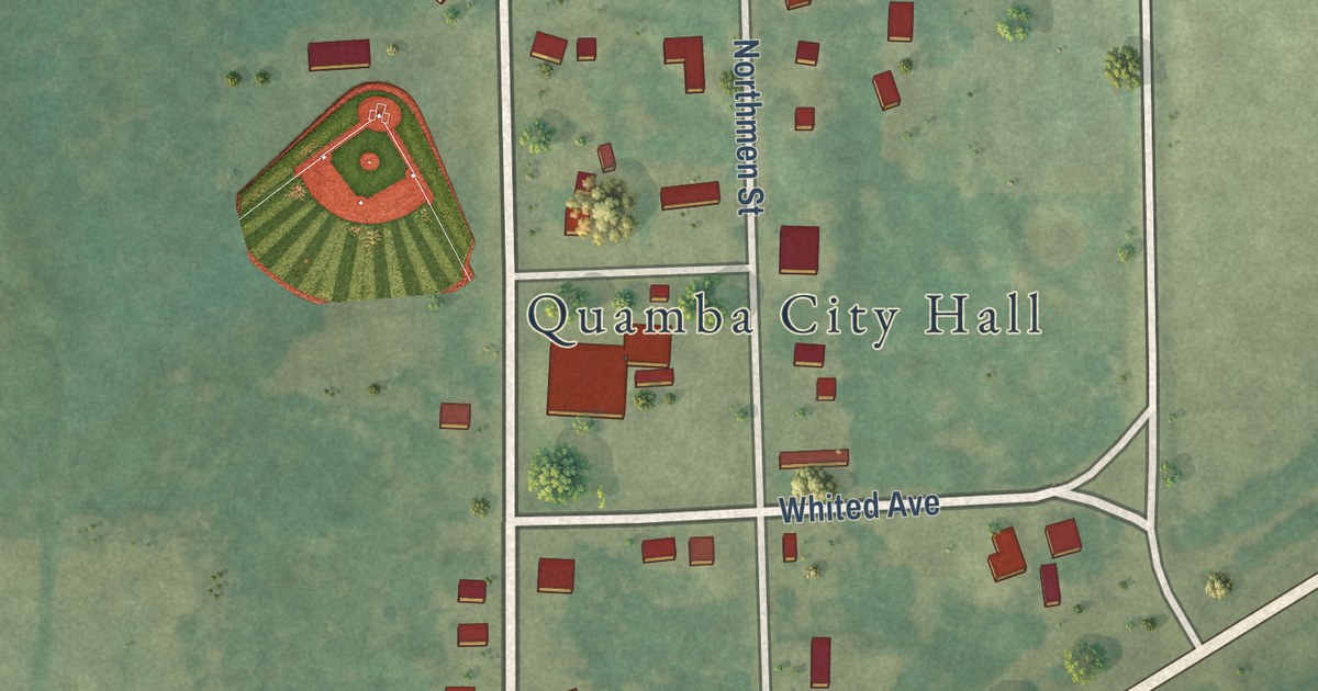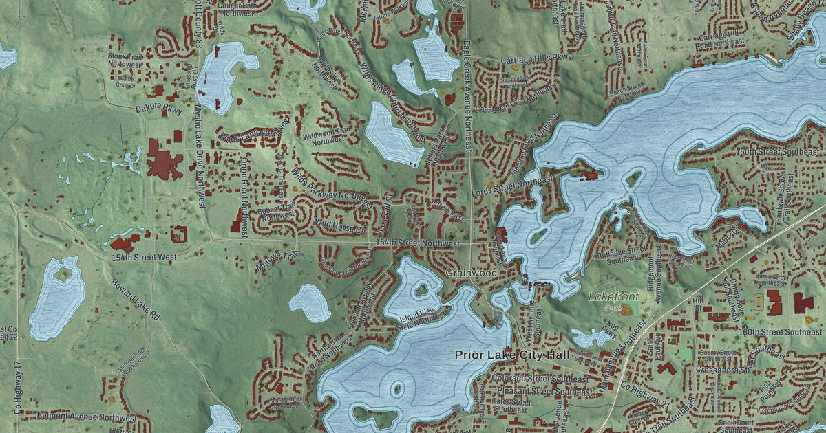
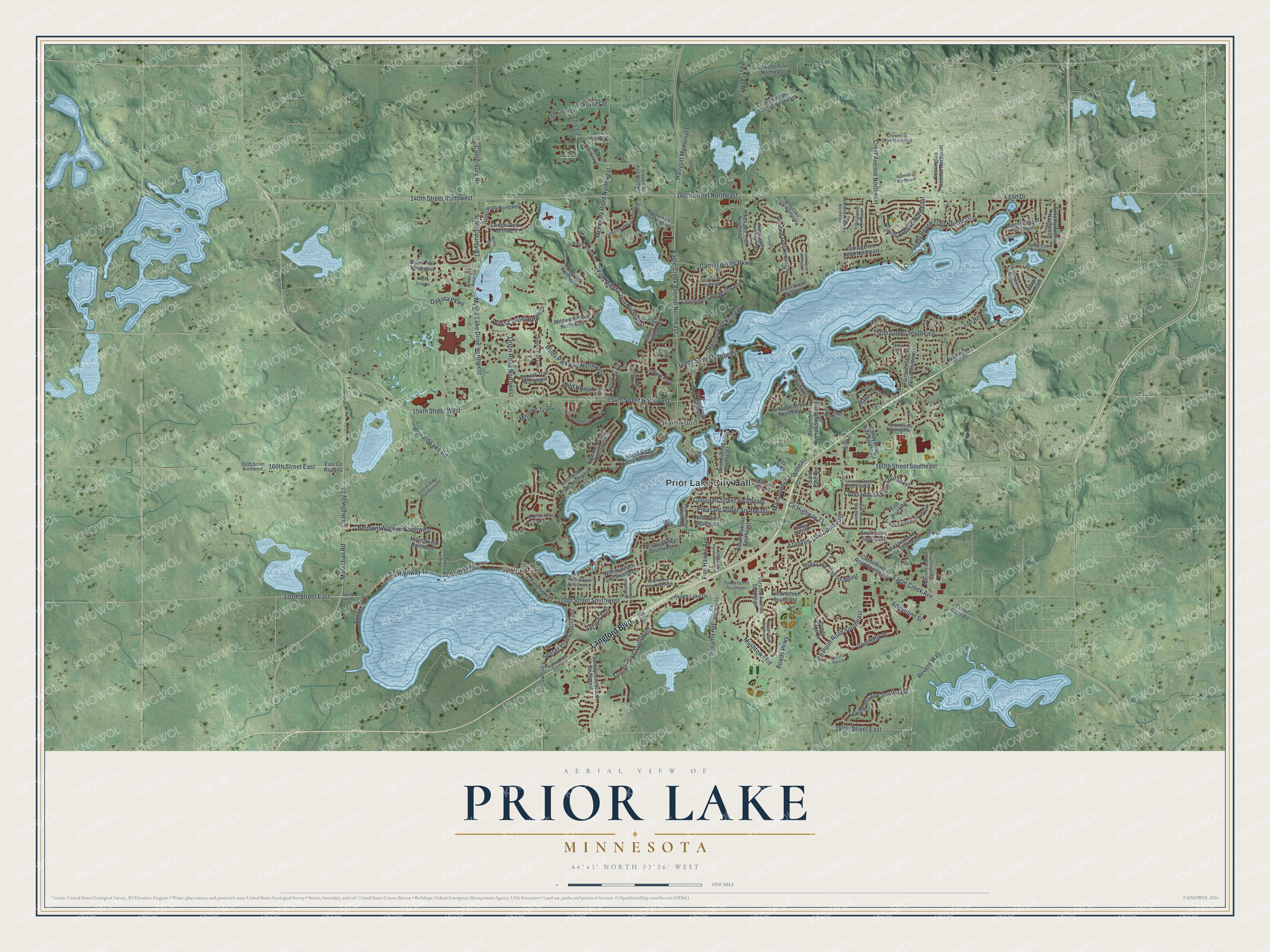
This beautifully detailed map of Prior Lake, Minnesota was created in 2026 using aerial imagery combined with modern topographical, census, street and landmark data. It’s a one-of-a-kind view of Prior Lake that combines accurate data with a vintage aesthetic. The map shows every building in its true location, many of the roads carry their names, and the shaded topographic relief shows the shape of the land.
Explore an aerial view of Prior Lake, Minnesota
On the map you’ll find Prior Lake City Hall, Spring Lake, Grainwood, and Lakefront Park, along with Langford Boulevard, County Highway 17, Marschall Road, Panama Avenue, Five Hawks Avenue, County Highway 12, Shoreline Boulevard, Eagle Creek Avenue, and more. If you look closely you can even find your house accurately drawn in its correct location. Zoom in on the preview to look for yours.
Did you know this piece of Prior Lake, Minnesota history?
From Warren Upham’s 1920 Minnesota Geographic Names: "Prior Lake, a railway village near the lake so named, in the north edge of Spring Lake township, was platted in 1875, taking the name of a post office that had been established in 1872."
Take a closer look at the Prior Lake map
Street and place names on the Prior Lake, Minnesota map
These names are printed on the map of Prior Lake, Minnesota.
Places: Prior Lake City Hall, Spring Lake, Grainwood and Lakefront Park.
Streets and roads: Langford Boulevard, County Highway 17, Marschall Road, Panama Avenue, Five Hawks Avenue, County Highway 12, Shoreline Boulevard, Eagle Creek Avenue, County Highway 21, Eagle Creek Avenue Northeast, 170th Street East, Wilds Parkway Northwest.
More street names, A to Z
140th Street Northeast, 140th Street Northwest, 150th Street Southeast, 154th Street Northwest, 154th Street West, 160th Street East, 160th Street Northwest, 160th Street Southeast, 165th Street Northwest, 170th Street Southeast, 170th Street Southwest, 180th Street East, Adelmann Street, Amos and Rose Circle, Apex Way Northeast, Aspen Avenue Northeast, Beach Street Northeast, Belmont Avenue Northwest, Blind Lake Trail Southeast, Bluebird Trail Northeast, Bobcat Trail Northwest, Boudin Street Northeast, Bounty Street Southeast, Breezy Point Road Southeast, Calmut Avenue Northeast, Candy Cove Trail Southeast, Canterbury Road, Carriage Hill Road Northeast, Carriage Hills Parkway, Cates Street Southeast, Chestnut Lane Northeast, Coachman Lane Northeast, Colorado Street Southeast, Cougar Path Northwest, County Highway 23, County Highway 81, Credit River Road, Credit River Road Southeast, Creekside Circle Southeast, Crest Avenue Northeast, Crossandra Street Southeast, Crownline Drive Northeast, Dakota Parkway, Dakota Street Southeast, Dakota Trail East, Deerfield Drive, Duluth Avenue Southeast, East County Road 72, East Oak Point Drive, Egan Drive, Elm Avenue Southwest, Fairlawn Avenue, Fairlawn Shores Trail Southeast, Ferndale Avenue Northeast, Fisher Avenue Northeast, Fish Point Road, Fish Point Road Southeast, Fountain Hills Drive Northwest, Fox Tail Court, Fox Tail Trail, Franklin Trail Southeast, Fremont Avenue Northwest, Glendale Avenue Southeast, Glynwater Trail Northwest, Harrgott Memorial Drive, Hill Street, Hope Street Southeast, Horizon Trail Southeast, Howard Lake Road, Hummingbird Trail Northeast, Huron Street Southeast, Ida Circle, Island View Circle Northwest, Itasca Avenue Southeast, Jackson Trail Northeast, Jeffers Parkway Northwest, Jeffers Pass, Jeffers Pass Northwest, Kensington Avenue Northeast, Kent Street Southwest, Knollridge Drive Northwest, Kop Parkway, Little Crow Drive, Lois Lane, Lords Street Northeast, Lori Road, Main Avenue Southeast, Manitou Road Northeast, Manor Drive, Maple Grove Lane, Maple Trail, Markley Lake Drive Southeast, Marlen Circle Southeast, Martindale Street Northeast, Maves Trail, McKenna Road Northwest, Mniowe Trail, Mushtown Road, Mystic Lake Drive Northwest, Northwood Road Northwest, Orion Road Northwest, Park Avenue Southeast, Pershing Street Southwest, Pike Lake Road, Pike Lake Trail Northeast, Pleasant Street Southeast, Ponds Edge Lane, Ponds Parkway, Prairie Grass Drive, Raven Court Northeast, Resvn Highway 2, Resvn Highway 4, Revere Way, Ridgemont Avenue Southeast, Rolling Oaks Circle Northeast, Rutgers Street Northeast, Rutledge Street Southeast, Saint Paul Avenue, Scott County 83, Shady Beach Trail Northeast, Shepherds Path Northwest, Sioux Trail Northwest, Snell Court Southeast, Spring Lake Road, Spruce Trail, Stemmer Ridge Road Northwest, Sunray Boulevard Southwest, Sunray Circle Southwest, Sunset Avenue, Sunset Trail Southwest, Timber Crest Drive, Timothy Avenue Northeast, Toronto Avenue Southeast, Tower Street Southeast, Trailhead Lane Southeast, Turner Drive Southwest, Victoria Curv Southeast, Village Lake Drive, Walter Street, Welcome Avenue Southeast, West Avenue Southeast, Wild Horse Circle, Wilds Drive, Wilds Lane Northwest, Wilds Path Northwest, Wilds Ridge Court Northwest, Wilds Ridge Northwest, Wilds Vw Northwest, Wildwood Trail Northwest, Willow Beach Trail Southwest, Willowwood Street Southwest, Windsor Lane.
See the Prior Lake, Minnesota map on a wall
The Prior Lake map as an 18 x 24 inch print in a black frame.

This beautifully detailed map of Prior Lake makes an attractive addition to your office, library, or den, and it can even be used to teach children the geography and history of the area. It also makes a great gift for anyone who grew up in Prior Lake or moved away. When you’re done exploring, click here to get your copy of the Prior Lake map.