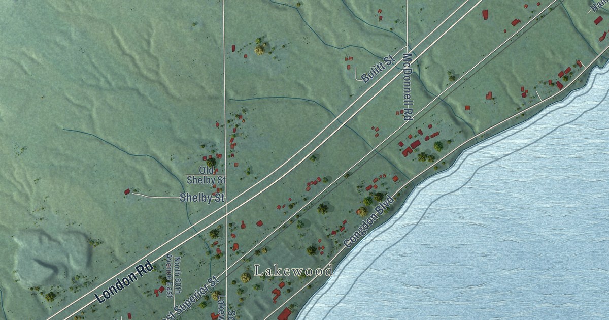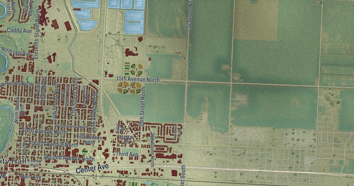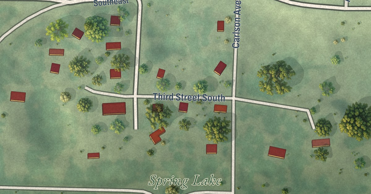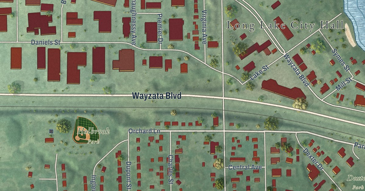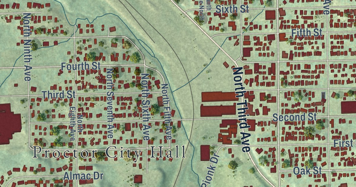
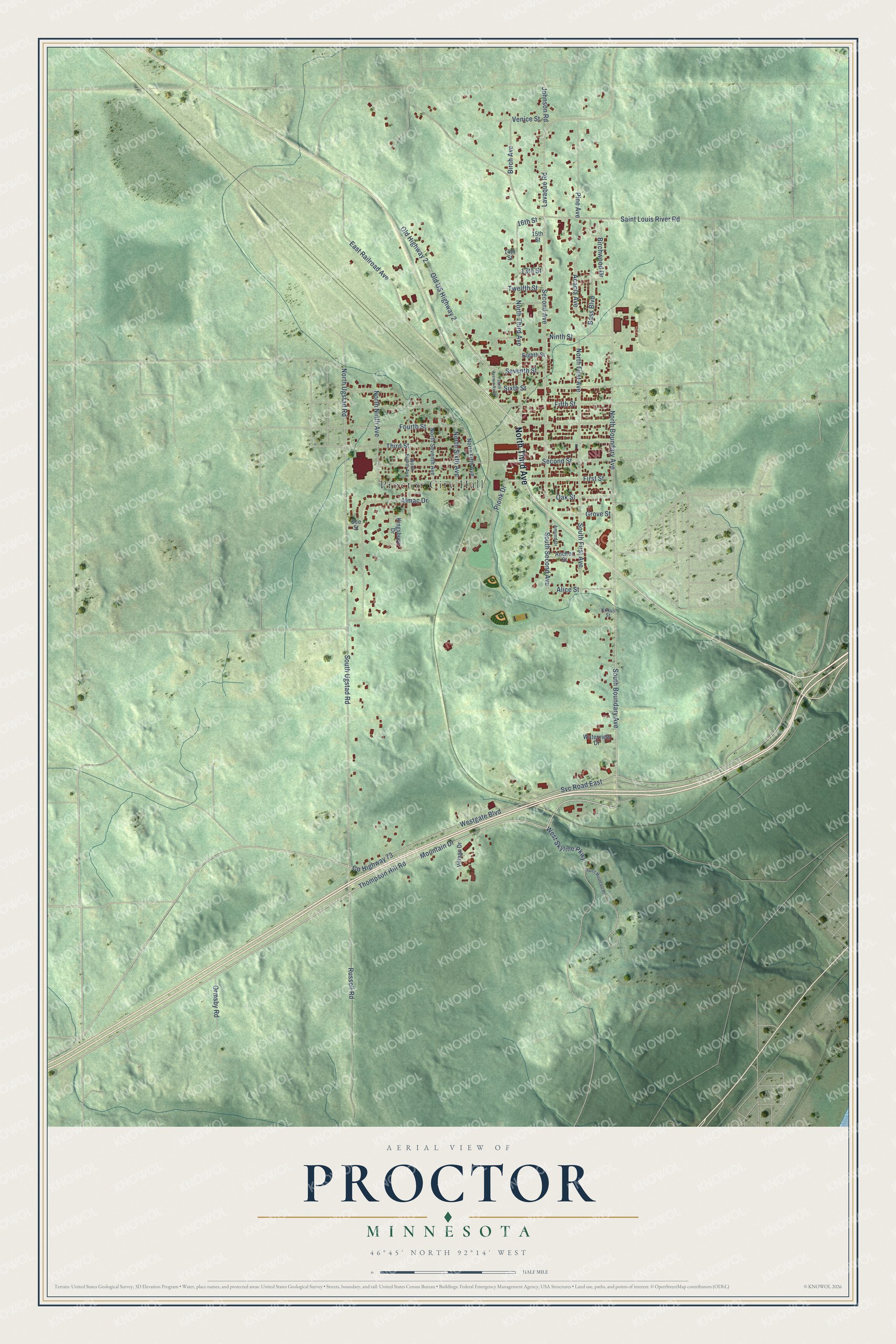
This beautifully detailed map of Proctor, Minnesota was created in 2026 using aerial imagery combined with modern topographical, census, street and landmark data. It’s a one-of-a-kind view of Proctor that combines accurate data with a vintage aesthetic. The map shows every building in its true location, many of the roads carry their names, and the shaded topographic relief shows the shape of the land.
Explore an aerial view of Proctor, Minnesota
On the map you’ll find Proctor City Hall, along with North Third Avenue, South Boundary Avenue, West Skyline Parkway, Oak Street, Second Avenue, Fourth Street, North Ugstad Road, North Fifth Avenue, South Ugstad Road, First Street, South Second Avenue, and more. If you look closely you can even find your house accurately drawn in its correct location. Zoom in on the preview to look for yours.
Did you know this piece of Proctor, Minnesota history?
From Walter Van Brunt’s 1921 history of Duluth and St. Louis County, Minnesota: "Mr. Sickels became a clerk in a hardware store at Saint Paul, Minnesota, but about 1912 came to Proctor and bought his present hardware and furniture store, which he has since expanded and has built up a very gratifying trade. He now operates under the name of F. H. Sickels & Company, Mrs. Sickels, being the company."
Take a closer look at the Proctor map
Street and place names on the Proctor, Minnesota map
These names are printed on the map of Proctor, Minnesota.
Places: Proctor City Hall.
Streets and roads: North Third Avenue, South Boundary Avenue, West Skyline Parkway, Oak Street, Mountain Drive, Second Avenue, South Second Avenue, Westgate Boulevard, North Ugstad Road, Fourth Street, South Ugstad Road, Thompson Hill Road.
More street names, A to Z
13th Street, 14th Street, 15th Street, 16th Street, Acacia Avenue, Alice Street, Almac Drive, Amund Drive, Anchor Street, Bass Boulevard, Bee Street, Birch Avenue, Birchwood Drive, County Highway 73, East Railroad Avenue, Eighth Street, Fifth Street, First Street, Fourth Avenue North, Grove Street, Johnson Road, Kingsbury Drive, Kirkus Street, Lavaque Road, Ninth Street, North Boundary Avenue, North Eighth Avenue, North Fifth Avenue, North First Avenue, North Ninth Avenue, North Seventh Avenue, North Sixth Avenue, Old Highway 2, Old US Highway 2, Ormsby Road, Pine Avenue, Pionk Drive, Russell Road, Saint Louis River Road, Second Street, Seventh Street, Sixth Street, South First Avenue, Spirit Mountain Place, Svc Road East, Third Street, Twelfth Street, Venice Street, Village Drive, Waterview Drive.
See the Proctor, Minnesota map on a wall
The Proctor map as an 18 x 24 inch print in a black frame.

This beautifully detailed map of Proctor makes an attractive addition to your office, library, or den, and it can even be used to teach children the geography and history of the area. It also makes a great gift for someone who left Proctor and still calls it home. When you’re done exploring, click here to get your copy of the Proctor map.