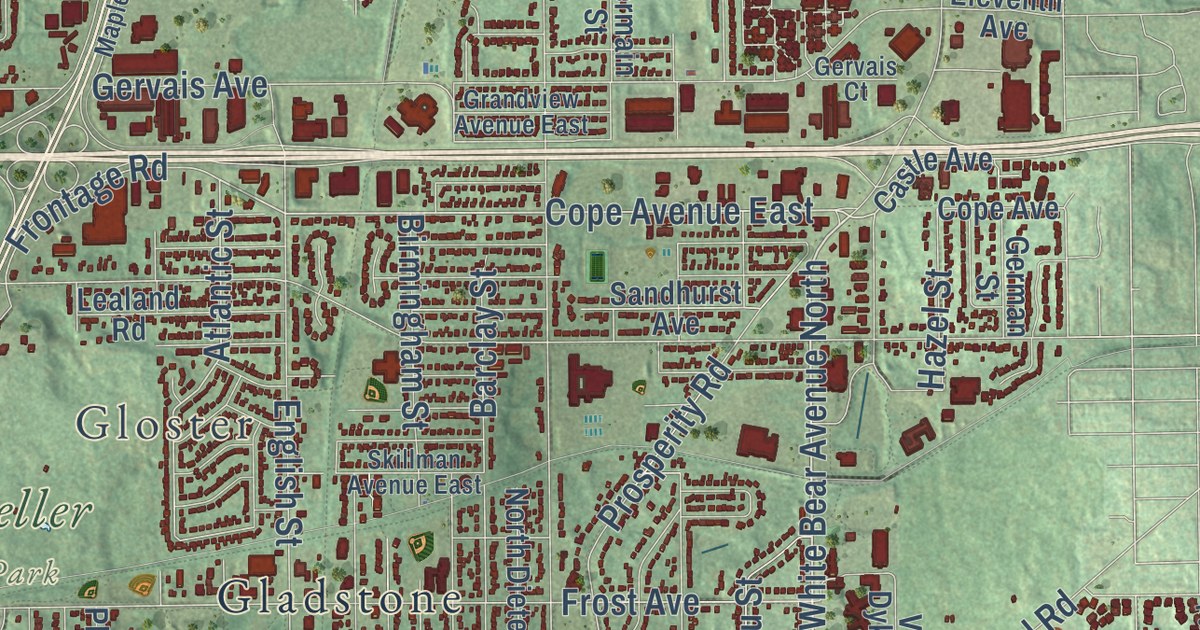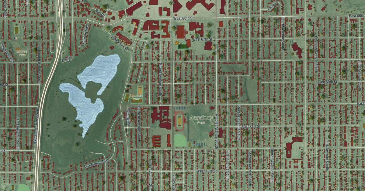
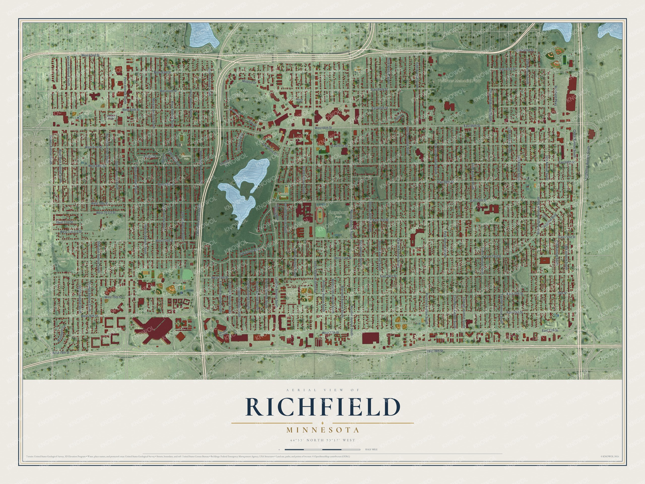
This beautifully detailed map of Richfield, Minnesota was created in 2026 using aerial imagery combined with modern topographical, census, street and landmark data. It’s a one-of-a-kind view of Richfield that combines accurate data with a vintage aesthetic. The map shows every building in its true location, many of the roads carry their names, and the shaded topographic relief shows the shape of the land.
Explore an aerial view of Richfield, Minnesota
On the map you’ll find Adams Hill Park, Augsburg Park, Donaldson Park, Richfield Lake Park, Roosevelt Park, Taft Park, Veterans Memorial Park, Monroe Park, Lincoln Fields, Lyndale Field, Nicollet Park, Sheridan Park, and more. If you look closely you can even find your house accurately drawn in its correct location. Zoom in on the preview to look for yours.
Did you know this piece of Richfield, Minnesota history?
From the 1920 Minnesota Geographic Names: "Richfield, settled in 1849-52, organized May 11, 1858, was then so named by vote of the people, in preference to Richland, its previous name."
Take a closer look at the Richfield map
Street and place names on the Richfield, Minnesota map
These names are printed on the map of Richfield, Minnesota.
Places: Adams Hill Park, Augsburg Park, Donaldson Park, Richfield Lake Park, Roosevelt Park, Taft Park, Veterans Memorial Park, Monroe Park, Lincoln Fields, Lyndale Field, Nicollet Park and Sheridan Park.
Streets and roads: Nicolet Avenue South, West 65th Street, Rae Drive, West 72nd Street, Longfellow Avenue South, East 66th Street, Humboldt Avenue South, Thomas Avenue South, East 77th Street, West 77th Street, West 62nd Street, East 62nd Street.
More street names, A to Z
13th Avenue South, 14th Avenue South, 15th Avenue South, 16th Avenue South, 17th Avenue South, 18th Avenue South, 75th Street, Aldrich Avenue South, Apple Lane, Augsburg Avenue South, Blaisdell Avenue South, Bloomington Avenue South, Bryant Avenue South, Cedar Avenue South, Chicago Avenue South, Clinton Avenue South, Colfax Avenue South, Columbus Avenue South, Diagonal Boulevard, Dupont Avenue South, East 63rd Street, East 64th Street, East 65th Street, East 67th Street, East 68th Street, East 69th Street, East 70th Street, East 71st Street, East 72nd Street, East 73rd Street, East 74th Street, East 75th Street, East 76th Street, East 78th Street, Eleventh Avenue South, Elliot Avenue South, Emerson Avenue South, Emerson Lane, Fern Drive, Fifth Avenue South, First Avenue South, Forest Drive, Fourth Avenue South, Fremont Avenue South, Garfield Avenue South, Girard Avenue South, Grand Avenue South, Harriet Avenue South, Irving Avenue South, James Avenue South, Knox Avenue South, Lakeshore Drive, Lake Shore Drive South, Lakeview Avenue, Logan Avenue South, Lyndale Avenue South, Lynwood Boulevard, Meridian Crossings, Mildred Drive, Morgan Avenue South, Newton Avenue South, Nicollet Avenue South, Oak Grove Boulevard, Oakland Avenue South, Oakland Terrace, Oliver Avenue South, Park Avenue South, Penn Avenue South, Pillsbury Avenue South, Pleasant Avenue South, Portland Avenue South, Queen Avenue South, Richfield Parkway, Russell Avenue South, Second Avenue South, Sheridan Avenue South, Stevens Avenue South, Tenth Avenue South, Third Avenue South, Twelfth Avenue South, Upton Avenue South, Vincent Avenue South, Washburn Avenue South, Washburn Circle, Wentworth Avenue South, West 63rd Street, West 64th Street, West 66th Street, West 67th Street, West 68th Street, West 69th Street, West 70th Street, West 71st Street, West 73rd Street, West 74th Street, West 75th Street, West 76th Street, West 78th Street, Woodlake Lane, Xerxes Avenue South.
See the Richfield, Minnesota map on a wall
The Richfield map as an 18 x 24 inch print in a black frame.

This beautifully detailed map of Richfield makes an attractive addition to your office, library, or den, and it can even be used to teach children the geography and history of the area. It also makes a great gift for someone who left Richfield and still calls it home. When you’re done exploring, click here to get your copy of the Richfield map.