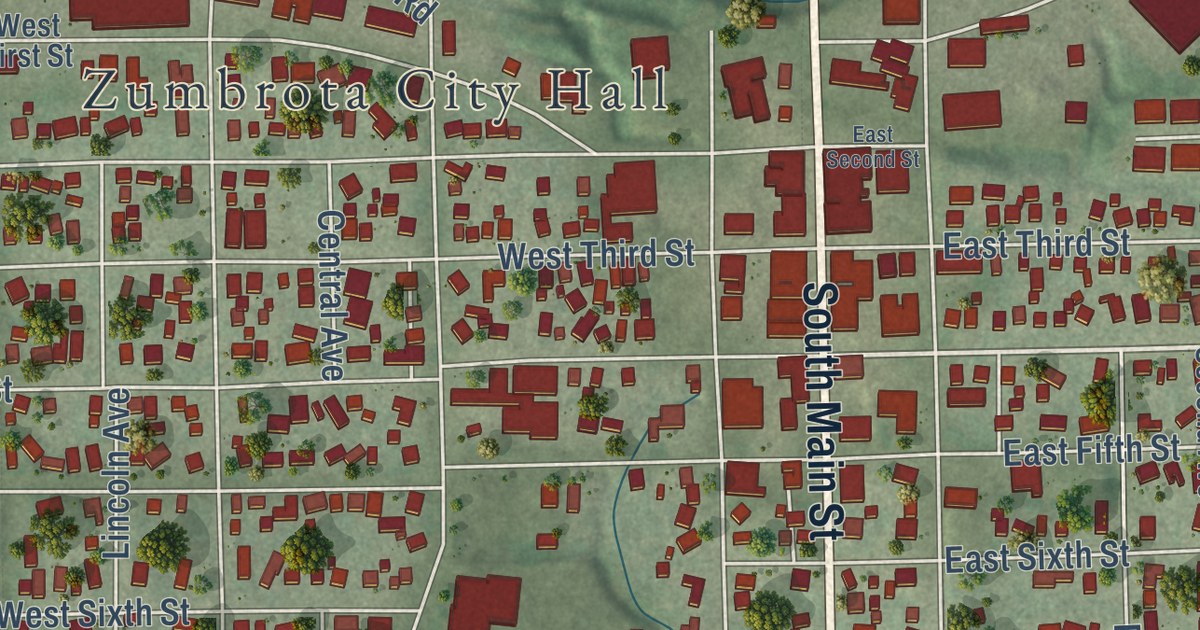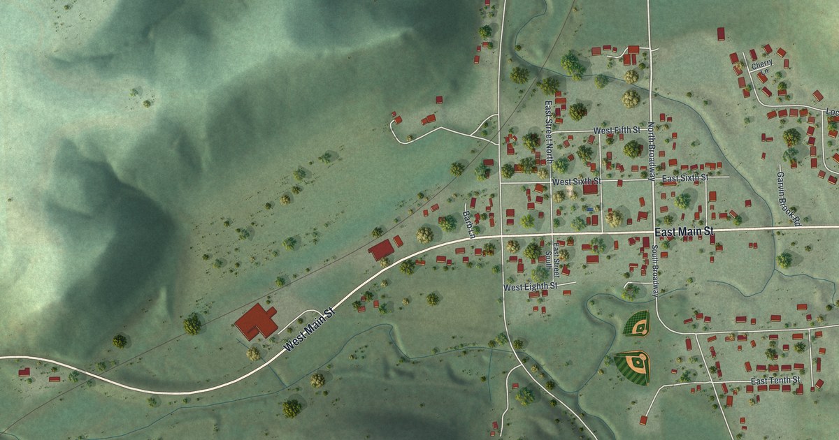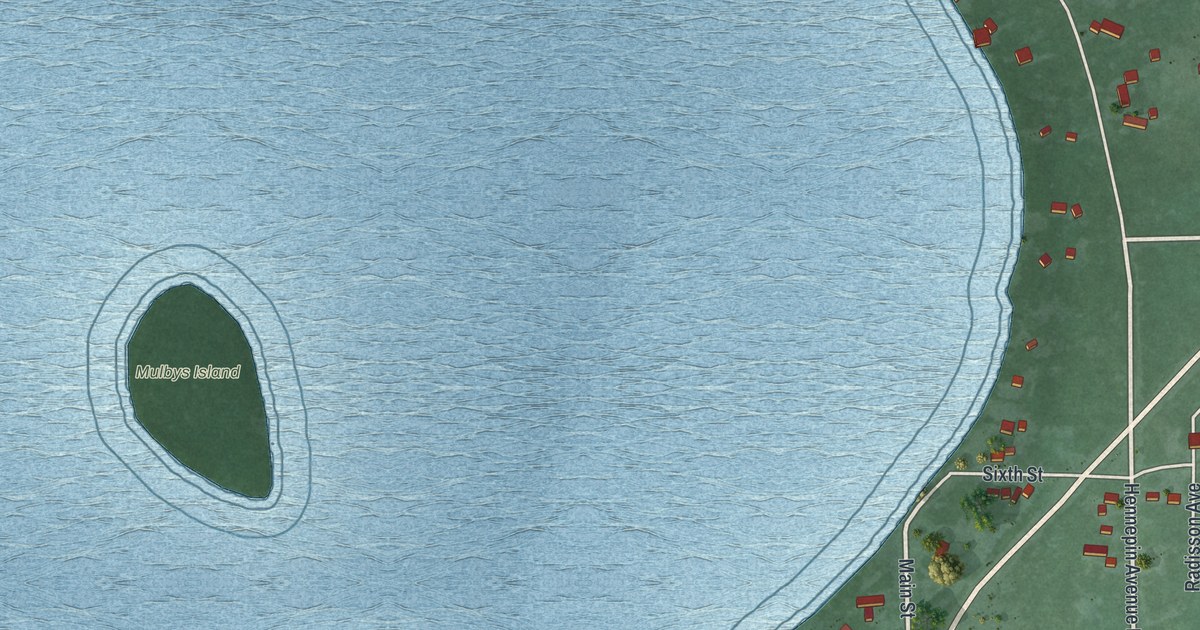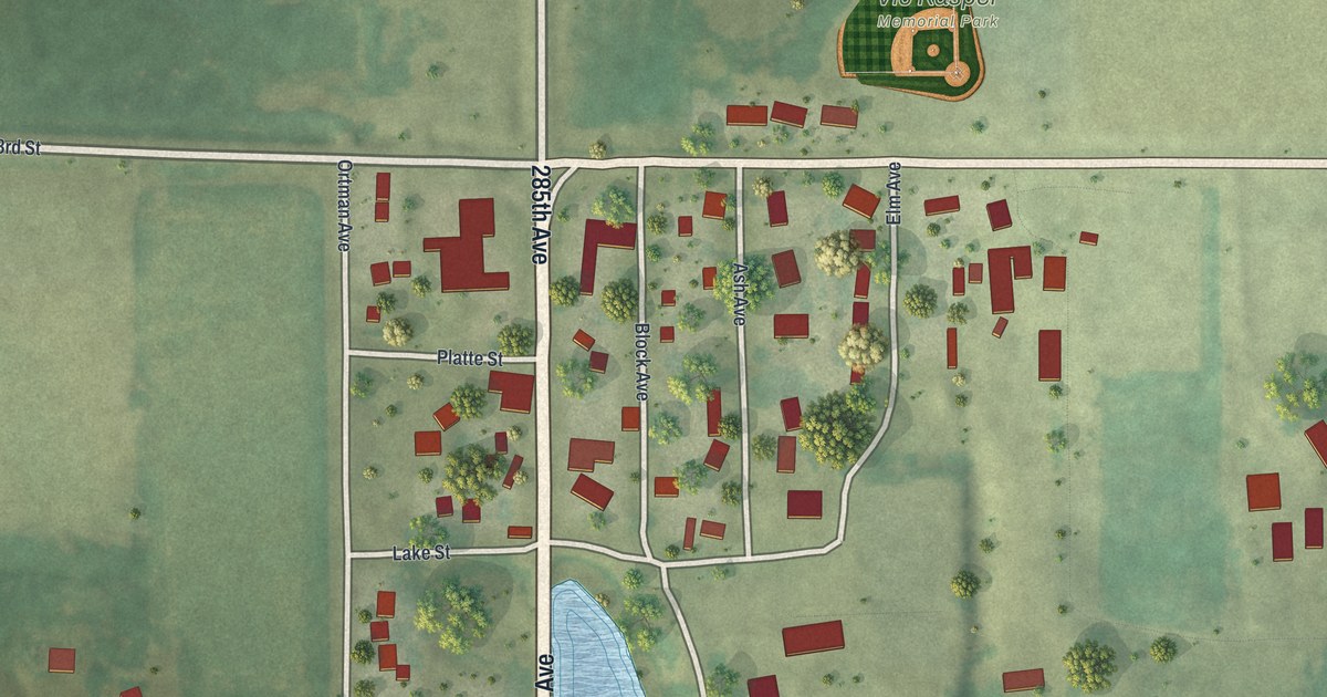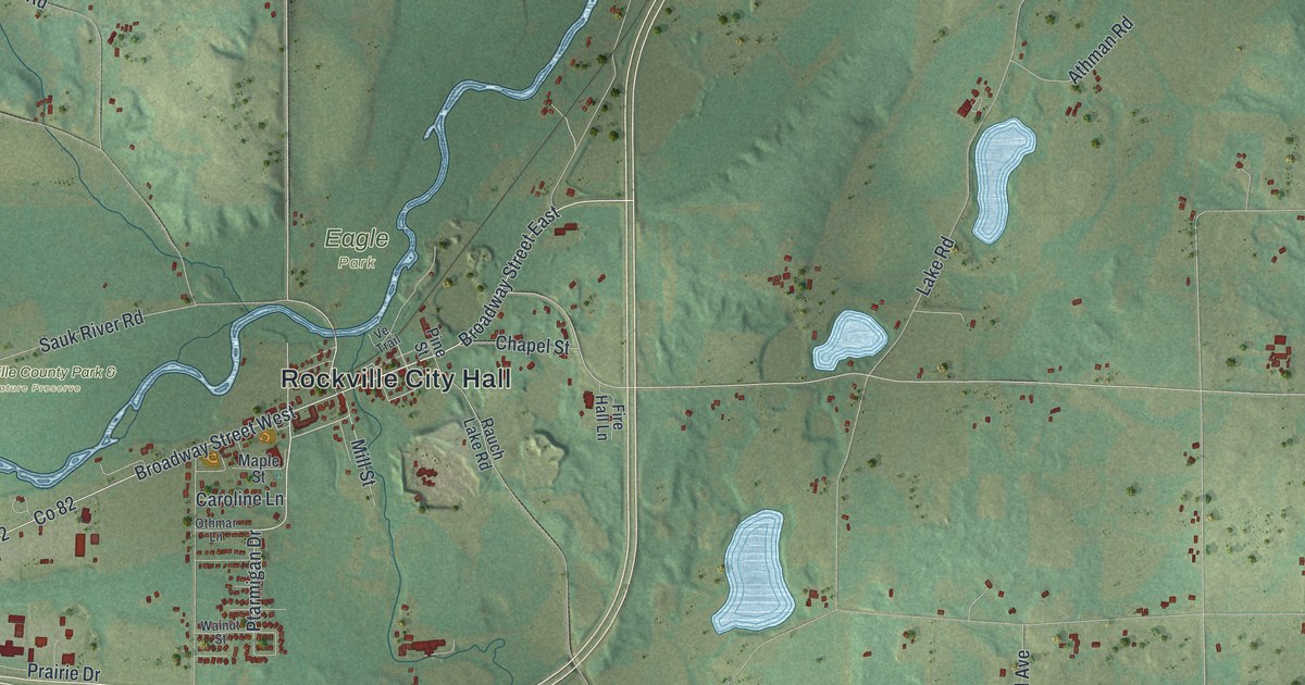
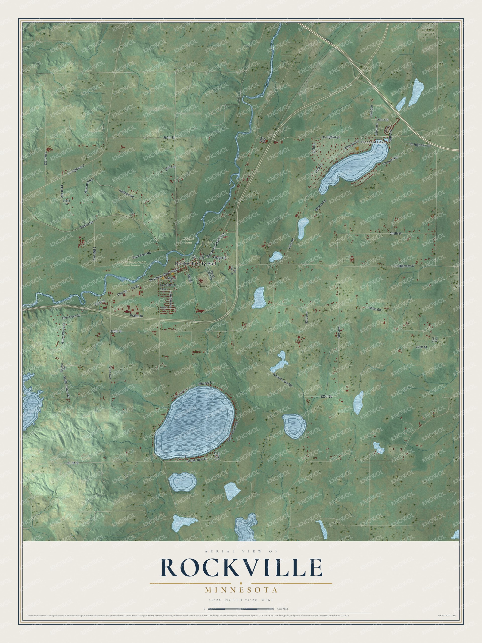
This beautifully detailed map of Rockville, Minnesota was created in 2026 using aerial imagery combined with modern topographical, census, street and landmark data. It’s a one-of-a-kind view of Rockville that combines accurate data with a vintage aesthetic. The map shows every building in its true location, many of the roads carry their names, and the shaded topographic relief shows the shape of the land.
Explore an aerial view of Rockville, Minnesota
On the map you’ll find Rockville City Hall, Pleasant Lake, Eagle Park, Rockville County Park & Nature Preserve, Co 82, and Cnty 82, along with 230th Street, Broadway Street East, 263rd Street, Ptarmigan Drive, 88th Avenue, Grand Lake Road, and more. If you look closely you can even find your house accurately drawn in its correct location. Zoom in on the preview to look for yours.
Did you know this piece of Rockville, Minnesota history?
From Warren Upham’s 1920 Minnesota Geographic Names: "RocKviLLE township, settled in 1855, organized June 25, 1860, and its village, platted in 1856, received their name from the outcrops of granite adjoining the Sauk river and Mill creek."
Take a closer look at the Rockville map
Street and place names on the Rockville, Minnesota map
These names are printed on the map of Rockville, Minnesota.
Places: Rockville City Hall, Pleasant Lake, Eagle Park and Rockville County Park & Nature Preserve.
Streets and roads: 230th Street, Broadway Street East, Cnty 82, 263rd Street, Ptarmigan Drive, 88th Avenue, Grand Lake Road, County Highway 47, Rausch Lake Road, Ahles Road, Lake Road, County Highway 137.
More street names, A to Z
73rd Avenue, 80th Avenue, 82nd Avenue, 83rd Avenue, 93rd Avenue, 99th Avenue, 123rd Avenue, 125th Avenue, 131st Avenue, 133rd Avenue, 210th Street, 220th Street, 227th Street, 235th Street, 245th Street, 250th Street, 255th Street, 260th Street, Agate Beach Road, Athman Road, Bluebird Lane, Broadway Street West, Burg Street, Caroline Lane, Chapel Street, County Highway 2, County Highway 6, Fire Hall Lane, Glacier Road, Glen Cove Road, Grand Lake Court, Grove Wood Lane, Halfman Road, Haywood Road, Hubert Lane, Lena Lane, Maple Street, Mill Street, Mitchell Lane, Othmar Lane, Pine Street, Pleasant Road, Prairie Drive, Rauch Lake Road, Sauk River Road, South Poden Road, Spoden Road, Ve Trail, Walnut Street, White Oak Road.
See the Rockville, Minnesota map on a wall
The Rockville map as an 18 x 24 inch print in a black frame.

This beautifully detailed map of Rockville makes an attractive addition to your office, library, or den, and it can even be used to teach children the geography and history of the area. It also makes a great gift for someone who left Rockville and still calls it home. When you’re done exploring, click here to get your copy of the Rockville map.