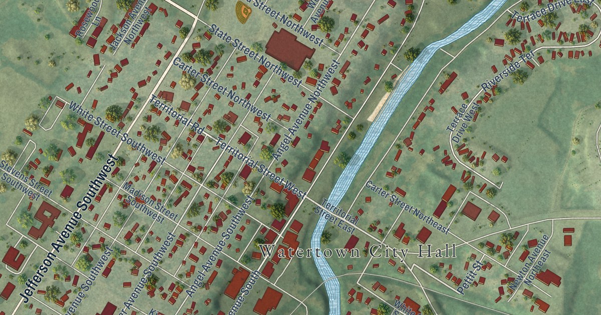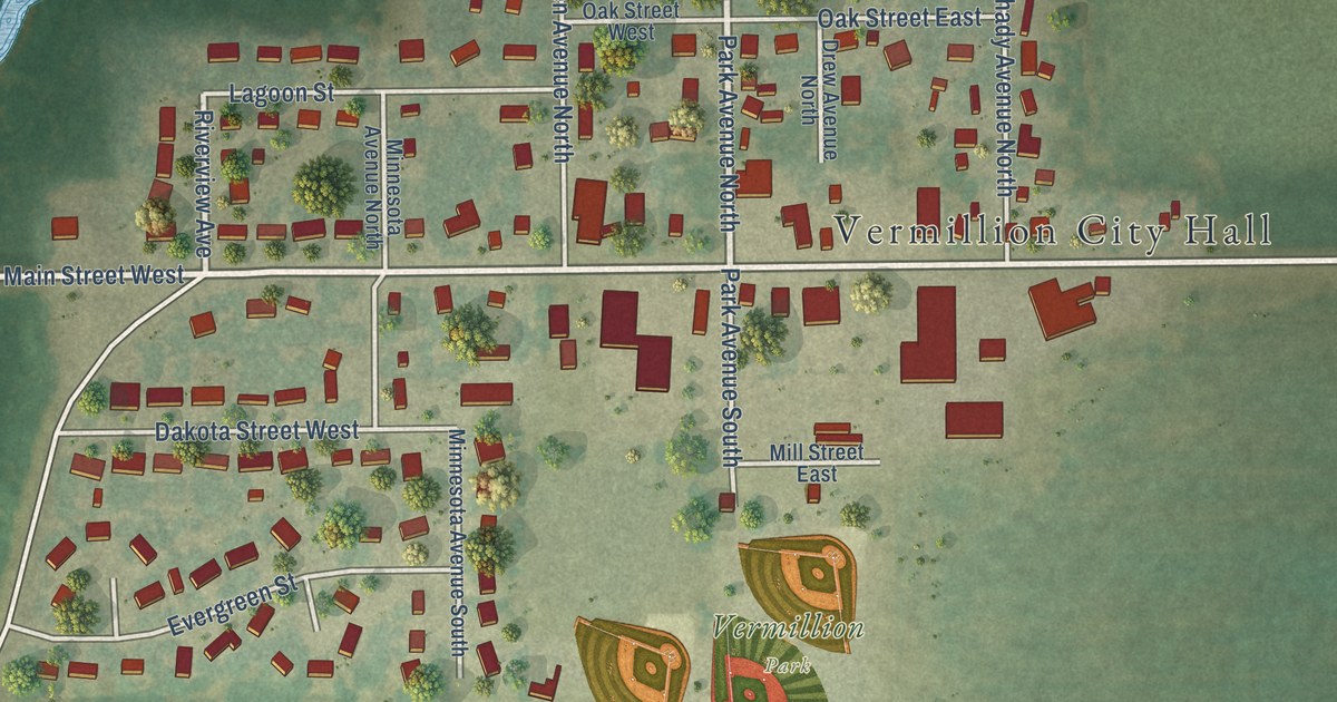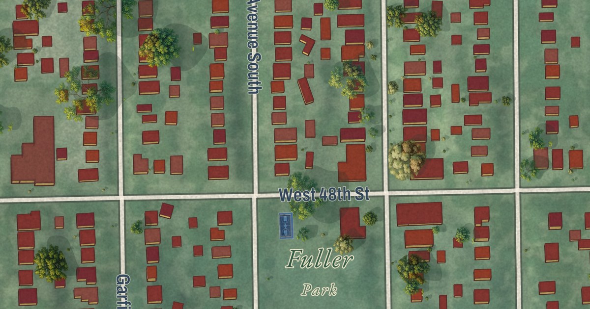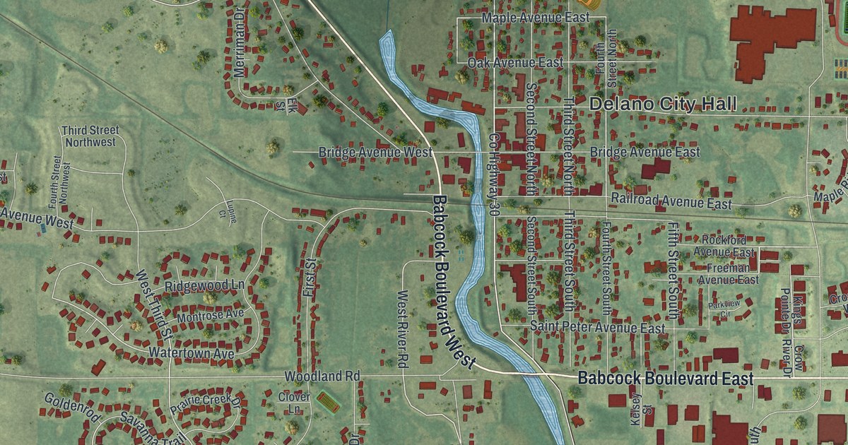
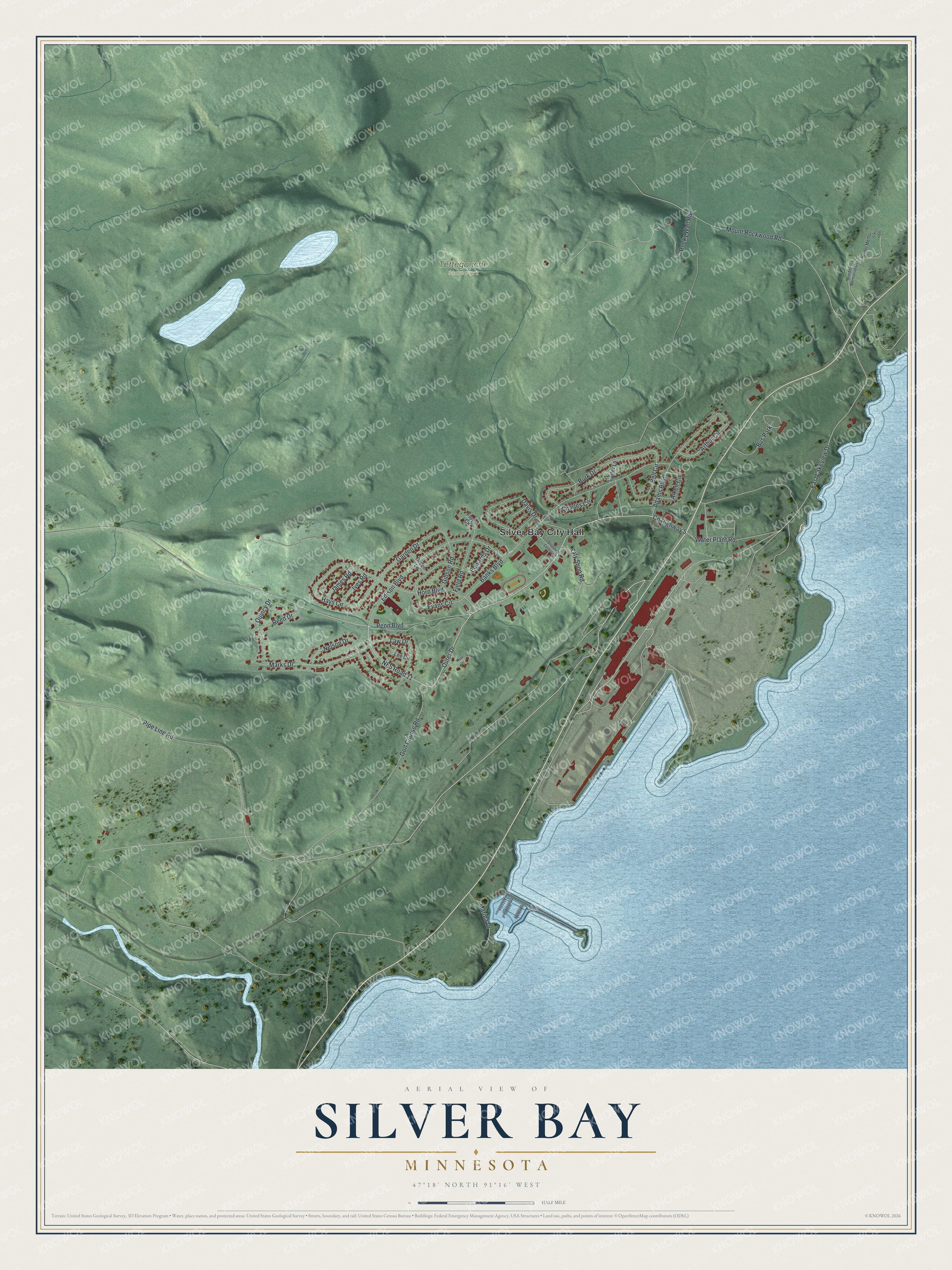
This beautifully detailed map of Silver Bay, Minnesota was created in 2026 using aerial imagery combined with modern topographical, census, street and landmark data. It’s a one-of-a-kind view of Silver Bay that combines accurate data with a vintage aesthetic. The map shows every building in its true location, many of the roads carry their names, and the shaded topographic relief shows the shape of the land.
Explore an aerial view of Silver Bay, Minnesota
On the map you’ll find Silver Bay City Hall and Tettegouche State Park, along with Outer Drive, Edison Boulevard, Pipe Line Road, East Lakeview Drive, Marks Drive, Law Drive, Burk Drive, Garden Drive, Evans Circle, County Highway 5, and more. If you look closely you can even find your house accurately drawn in its correct location. Zoom in on the preview to look for yours.
Did you know this piece of Silver Bay, Minnesota history?
From the Minnesota Historical Society: "By 1955, the Reserve Mining Company complex was built to extract iron from taconite. A new town, Silver Bay, was constructed to support it. For every ton of iron ore produced, however, two tons of waste material was left over. The Reserve Mining Company dumped the waste material, called tailings, into Lake Superior. Permits to do this were approved by the state."
Take a closer look at the Silver Bay map
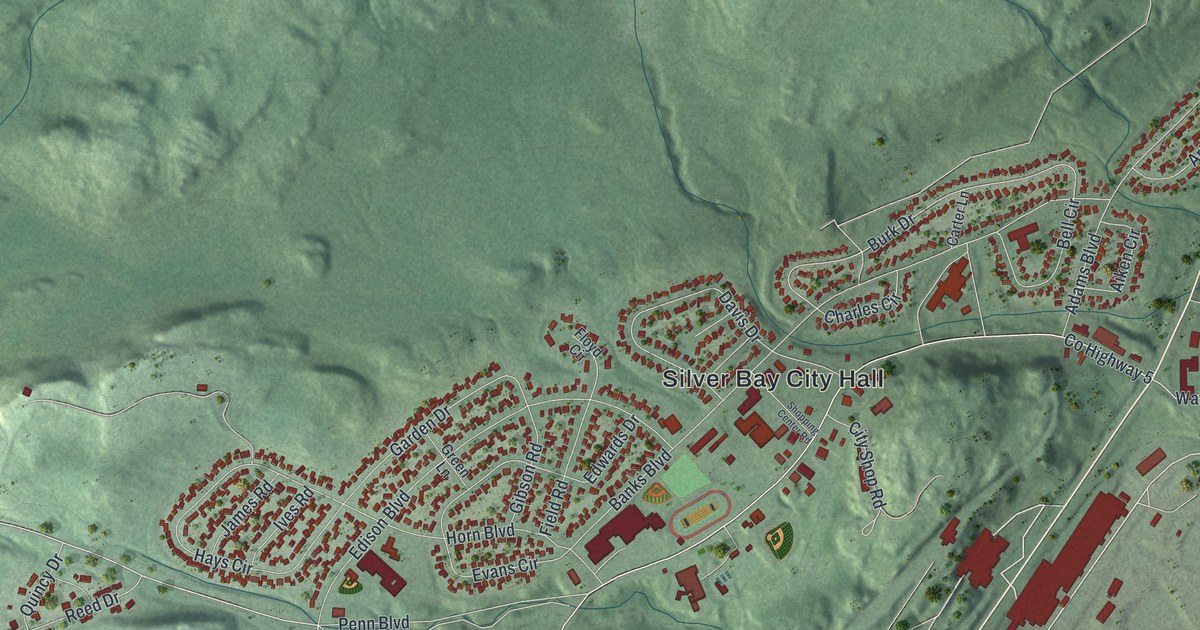
Street and place names on the Silver Bay, Minnesota map
These names are printed on the map of Silver Bay, Minnesota.
Places: Silver Bay City Hall, Tettegouche State Park and Bus Park.
Streets and roads: Outer Drive, Edison Boulevard, Pipe Line Road, East Lakeview Drive, Marks Drive, Law Drive, Burk Drive, Garden Drive, Evans Circle, County Highway 5, NFS Road 11, Golf Course Road.
More street names, A to Z
Adams Boulevard, Aiken Circle, Arthur Circle, Banks Boulevard, Bell Circle, Carter Lane, Charles Circle, City Shop Road, Davis Drive, Edwards Drive, Field Road, Floyd Circle, Gibson Road, Green Lane, Hays Circle, Horn Boulevard, Ives Road, James Road, Kent Lane, Lee Circle, Marina Drive, Mount Rockwood Road, Nelson Drive, Penn Boulevard, Quincy Drive, Reed Drive, Reider Memorial Drive, Rieder Memorial Drive, Rocky Wall Road, Shopping Center Road, Water Plant Road.
See the Silver Bay, Minnesota map on a wall
The Silver Bay map as an 18 x 24 inch print in a black frame.

This beautifully detailed map of Silver Bay makes an attractive addition to your office, library, or den, and it can even be used to teach children the geography and history of the area. It also makes a great gift for anyone with Silver Bay roots. When you’re done exploring, click here to get your copy of the Silver Bay map.