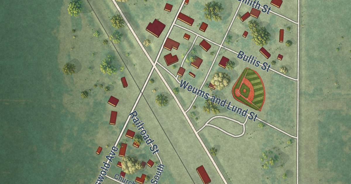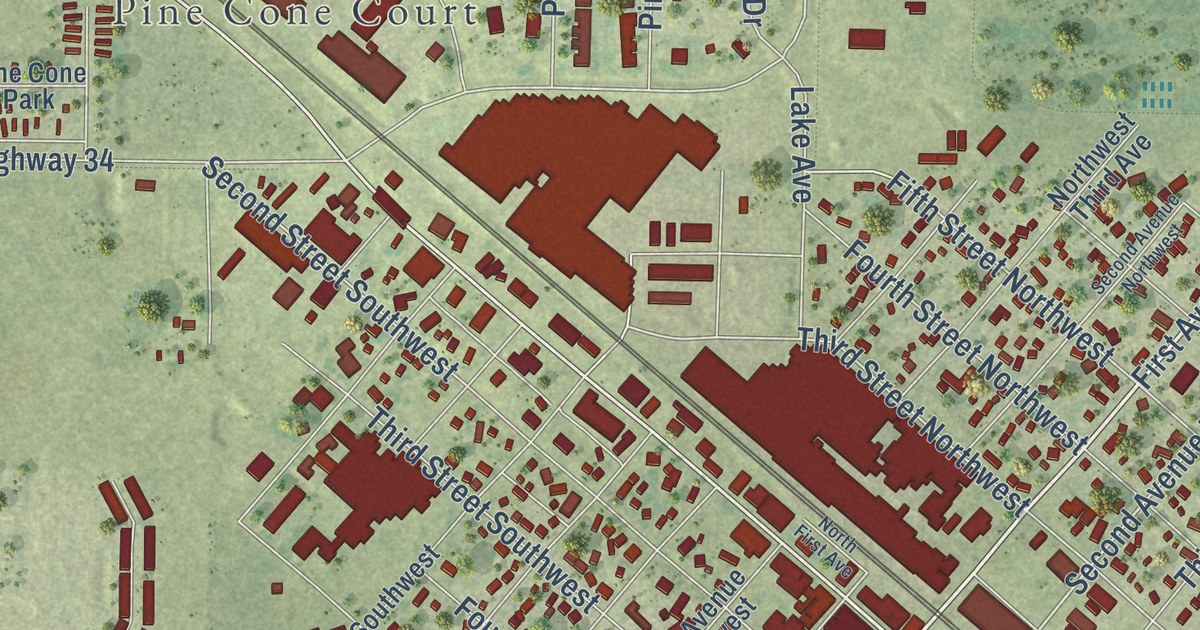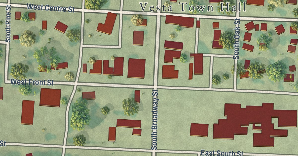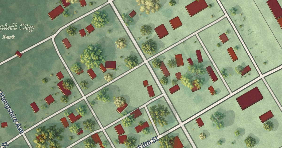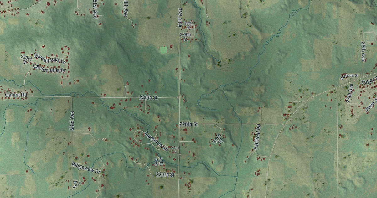
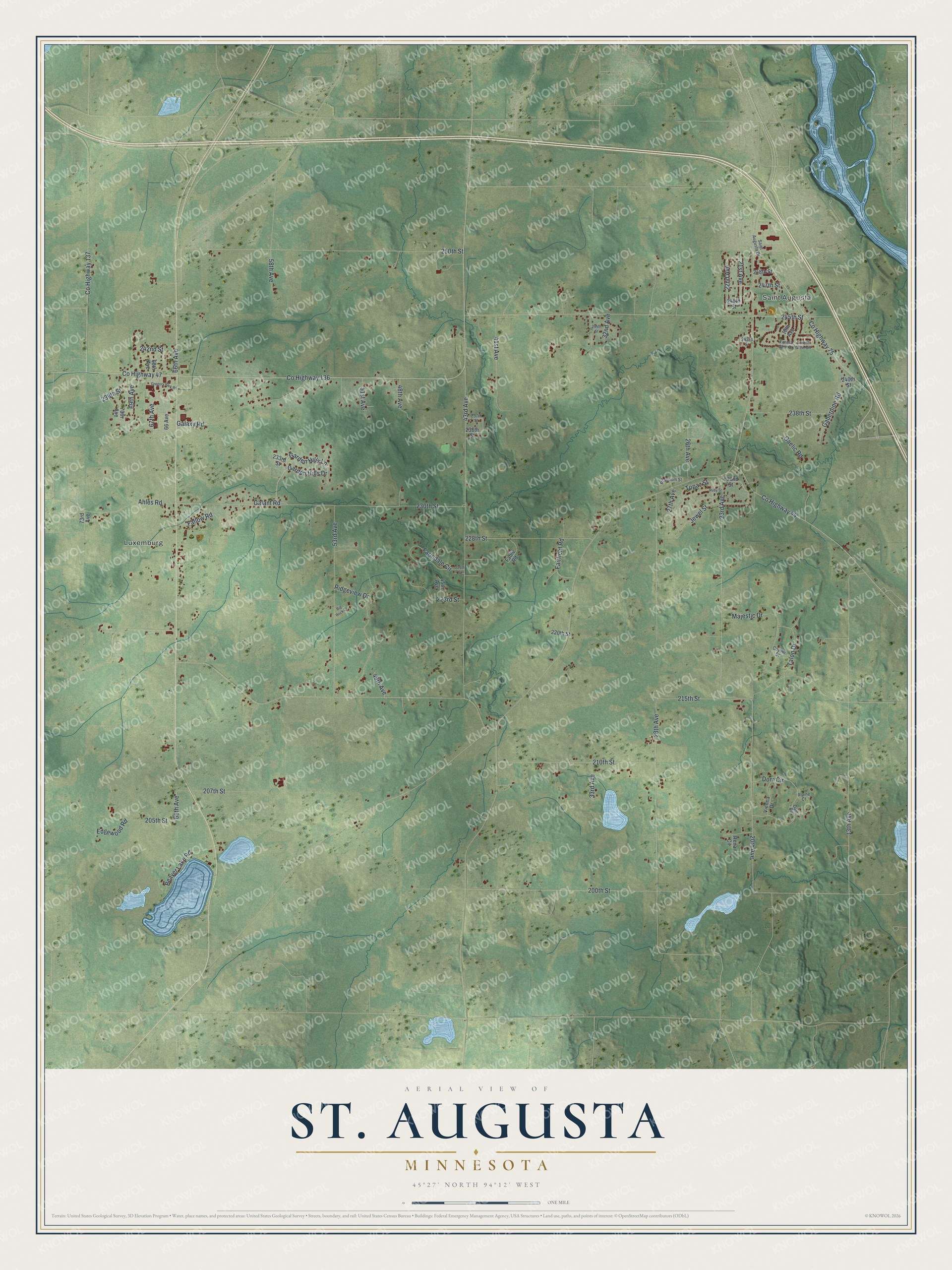
This beautifully detailed map of St. Augusta, Minnesota was created in 2026 using aerial imagery combined with modern topographical, census, street and landmark data. It’s a one-of-a-kind view of St. Augusta that combines accurate data with a vintage aesthetic. The map shows every building in its true location, many of the roads carry their names, and the shaded topographic relief shows the shape of the land.
Explore an aerial view of St. Augusta, Minnesota
On the map you’ll find Luxemburg, along with 21st Avenue, 230th Street, 250th Street, 13th Avenue, County Highway 136, 58th Avenue, Garden Hills Lane, 65th Avenue, 28th Avenue, 200th Street, and more. If you look closely you can even find your house accurately drawn in its correct location. Zoom in on the preview to look for yours.
Did you know this piece of St. Augusta, Minnesota history?
From the 1920 Minnesota Geographic Names: "St. Augusta township, settled in 1854 and organized in 1859, was originally called Berlin and later Neenah, but in 1863 adopted the present name, which had been given by Father Pierz in 1856 to the first church here. The village of St. Augusta, first platted in 1855, has a station of the Great Northern railway."
Take a closer look at the St. Augusta map
Street and place names on the St. Augusta, Minnesota map
These names are printed on the map of St. Augusta, Minnesota.
Places: Saint Augusta and Luxemburg.
Streets and roads: 21st Avenue, 230th Street, 250th Street, 13th Avenue, County Highway 136, 58th Avenue, Garden Hills Lane, 65th Avenue, 28th Avenue, 200th Street, 43rd Avenue, County Highway 75.
More street names, A to Z
18th Avenue, 20th Avenue, 22nd Avenue, 23rd Avenue, 26th Avenue, 27th Avenue, 32nd Avenue, 33rd Avenue, 41st Avenue, 45th Avenue, 48th Avenue, 49th Avenue, 51st Avenue, 53rd Avenue, 66 Avenue, 66th Avenue, 67th Avenue, 68th Avenue, 69th Avenue, 70th Avenue, 73rd Avenue, 205th Street, 207th Street, 210th Street, 215th Street, 220th Street, 223rd Street, 225th Street, 228th Street, 232nd Street, 233rd Street, 236th Street, 237th Street, 238th Street, 239th Street, 240th Street, 242nd Street, 243rd Street, 244th Street, 245th Street, 246th Street, 247th Street, 248th Street, Ahles Road, Alpine Court, Beaver Lake Road, Big Rock Court, County Highway 44, County Highway 47, County Highway 137, Coyote Street, Dam Circle, Dom Circle, Edgewood Road, Fable Road, Fairfield Road, Fallow Road, Farmdale Circle, Forest Glen Circle, Forest Glen Drive, Gaberdine Road, Gaelic Road, Galant Road, Galaxy Road, Garden Hills Drive, Gregory Park Road, Jewel Street, Majestic Drive, Platinum Street, Rena Circle, Ridgeview Drive, Ruby Street, Saint Augusta Drive, Talon Drive, Topaz Street, Vienna Drive.
See the St. Augusta, Minnesota map on a wall
The St. Augusta map as an 18 x 24 inch print in a black frame.

This beautifully detailed map of St. Augusta makes an attractive addition to your office, library, or den, and it can even be used to teach children the geography and history of the area. It also makes a great gift for anyone who grew up in St. Augusta or moved away. When you’re done exploring, click here to get your copy of the St. Augusta map.