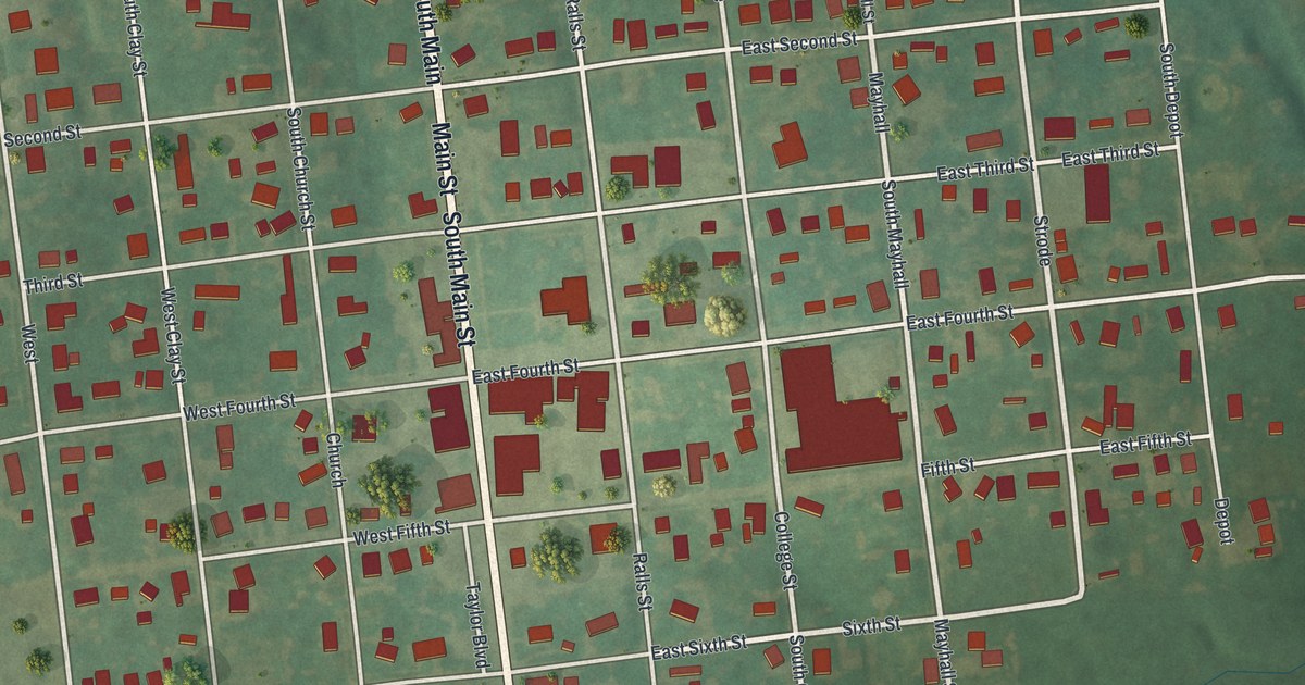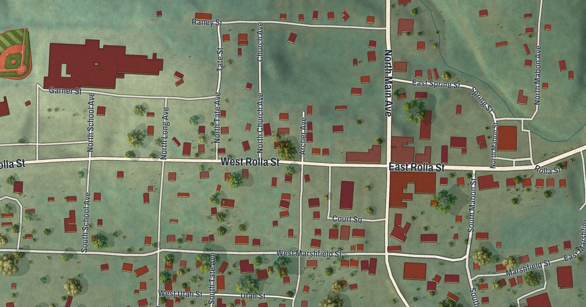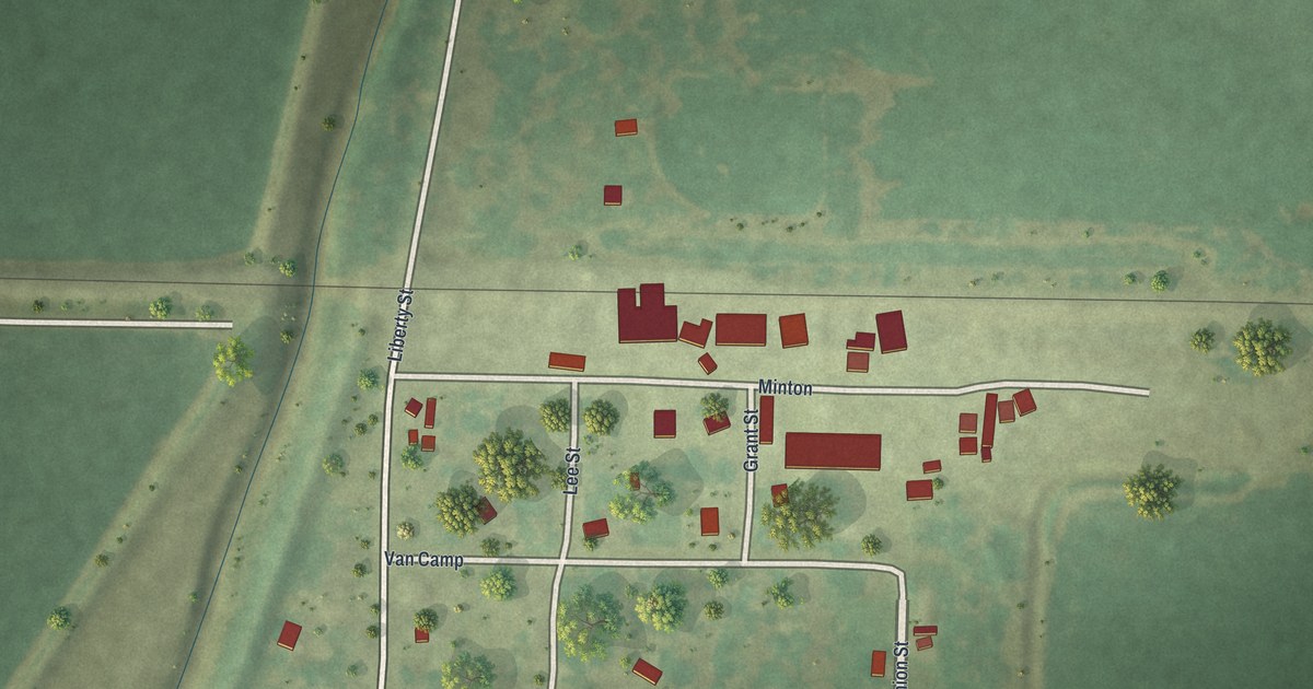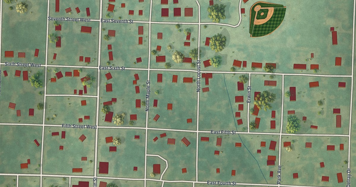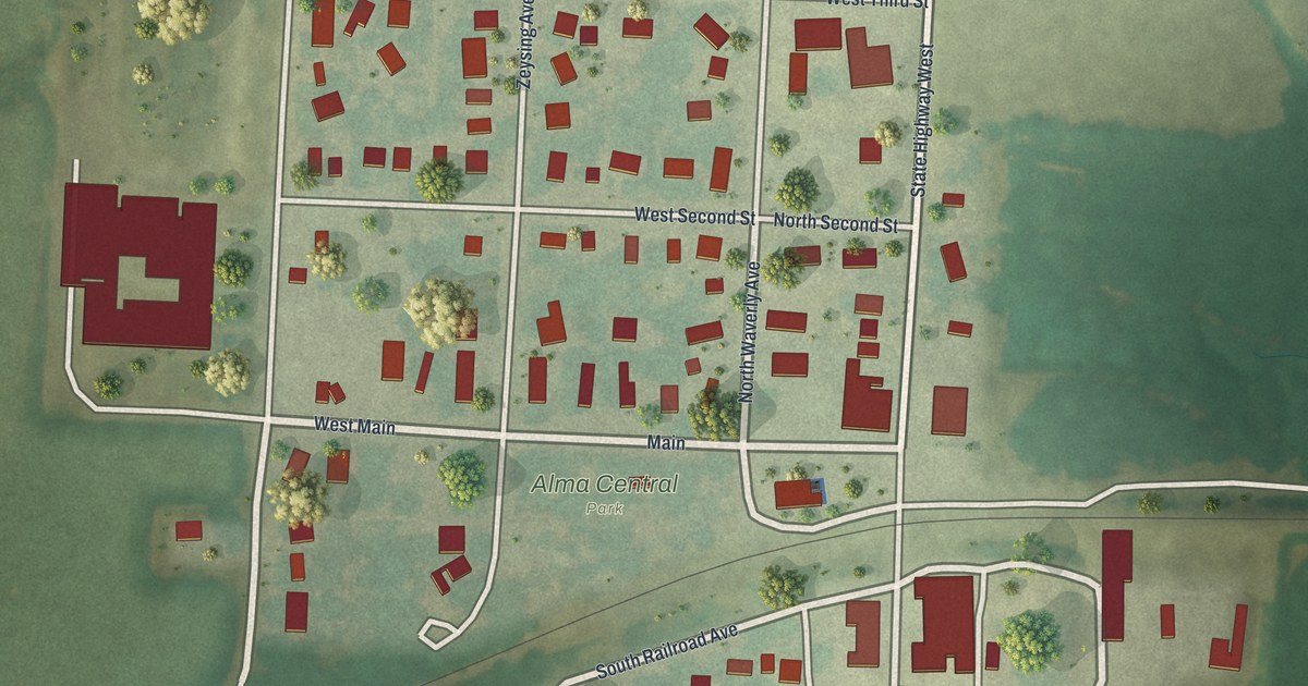
If you grew up in Alma or still have family near Main, this map puts the whole town on one sheet. It's a modern aerial view of Alma in Lafayette County, Missouri, built from modern data and given a vintage look. Each building is marked in red on a tidy grid of streets. A rail line cuts across the middle of town on a slant. Shaded green farm fields fill the rest of the sheet, and a small creek winds through the lower left corner.
Main, Waverly Avenue and Alma Central Park
Start at Alma Central Park, just south of Main in the middle of town. Main runs east and west here. Heading west, it turns into West Main. Now go north. Mitchell, Zeysing and Waverly Avenues run up through the grid. You'll cross West Second, West Third and West Fourth Streets, with West Fifth Street at the top. Follow West Fourth Street west to its end. That's Alma Lions Club Park, with a ball diamond in its corner.
Back at the park, head south across the rail line. South Railroad Avenue curves along beside it. Below that, West Lincoln Avenue and West Clara Avenue cross the south side of town. Collins Street and East Marshall Street sit to the east, near some of the biggest buildings on the map. South County Road runs down past Goodwin Road, which crosses the bottom of the sheet. Many roads are labeled, and each red shape is a building, so zoom in on the preview and look for yours.
Alma in the 1910 Lafayette County history
A 1910 book, Young's history of Lafayette County, Missouri, gives Alma a short section of its own. It sits in the chapter on Middleton Township, right after the town of Waverly. The list of contents says it covers Alma's incorporation and its business houses. The book's index also names the Alma Bank and Trinity Lutheran Church in Alma. It lists St. Peter's Congregation near Alma too. Find Main in the middle of the map. Alma's streets spread out from there on both sides of the rail line.
For anyone who grew up near Alma Central Park
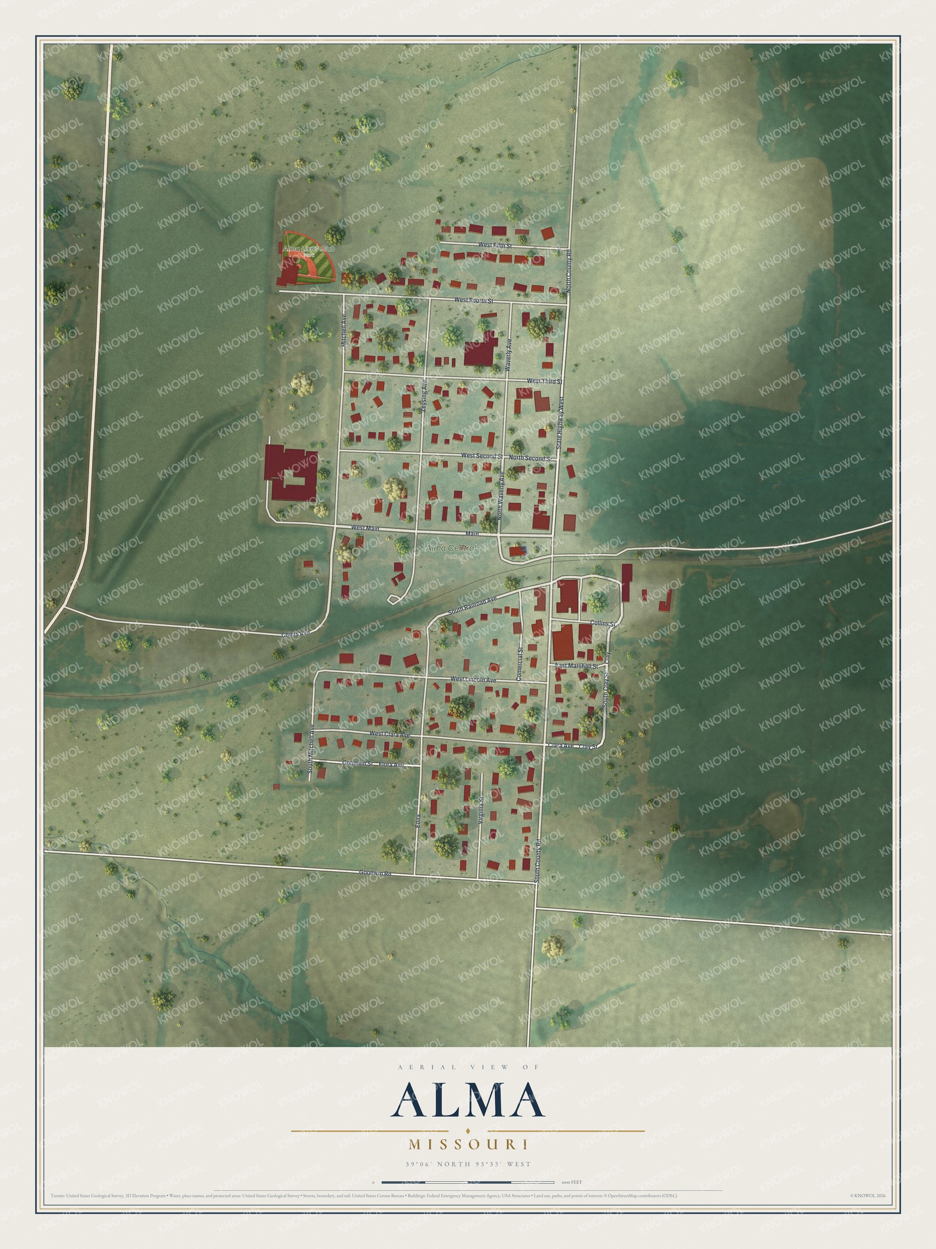
Created by KNOWOL in 2026, this map of Alma shows the town's buildings in deep red on soft green ground. The shading comes from USGS elevation data, so the gentle hills and slopes around town show up. The title panel reads "Aerial View of Alma, Missouri" with the coordinates 39°06' North, 93°33' West and a scale bar.
It would suit a kitchen, a den or a farmhouse hallway. It's a thoughtful gift for someone who grew up near Alma Central Park, moved away, or still comes home to Lafayette County. Open the preview, zoom in and find the street you know. See sizes and frames for the Alma map.