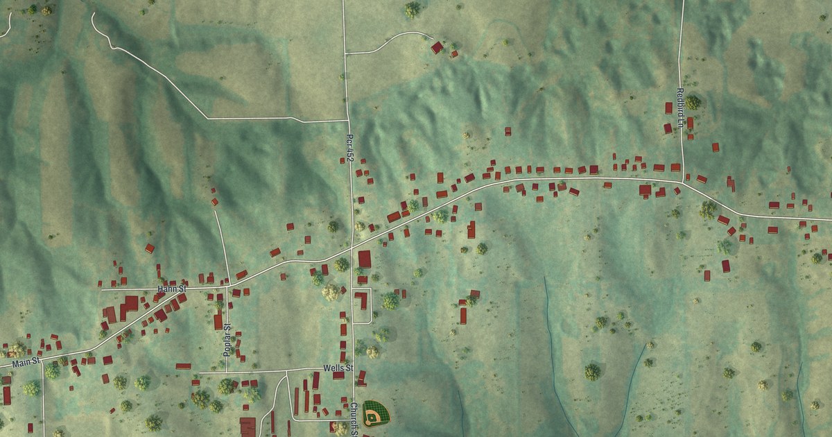
If you grew up in Altenburg, or still have family along Main Street, this map shows the whole town on one sheet. It's a modern aerial view of Altenburg in Perry County, Missouri, made from modern data with a vintage feel. Close to 400 buildings are drawn in deep red. Main Street strings most of them together, and green hills are shaded all around. Small creeks run down the valleys, though they aren't labeled. Explore the print options for Altenburg.
Main Street, Church Street and Pcr 452
Start on the west side of town, where Ridge Road comes down from the north and meets Main Street. Head east on Main Street. Maple Street soon turns off to the south, and Hahn Street runs one block to the north. Keep going past Poplar Street and you'll reach Church Street near the middle of town. Take Church Street south a short way. Wells Street runs west from it, and at the bottom, Oak Street heads west too. Fair Road carries on in the same line toward Maple Street. Back at Main Street, the road labeled Pcr 452 runs north from the Church Street corner. Farther east, Redbird Lane heads north and Pcr 454 drops south into the hills. Then Main Street bends northeast past Chipmonk Lane. Near the top right corner stands a group of larger buildings, though they aren't labeled. Many of the roads are named, and each red shape is a building, so zoom in on the preview and look for yours.
Concordia Log Cabin College on Main Street
Altenburg is a small city. The 2020 census counted 341 people here. One Altenburg building is on the National Register of Historic Places. The Register lists it as the Concordia Log Cabin College, on Main Street. It was added in November 1978. The map doesn't label the college. But Main Street is drawn from end to end and labeled, so you can trace the street where the college stands.
The hills are a big part of this map. South of Main Street, the ground falls away into deep folds of darker green. Pcr 454 winds down into them. North of town, Pcr 452 and Redbird Lane run up through more open ground.
For anyone who grew up along Altenburg's Main Street
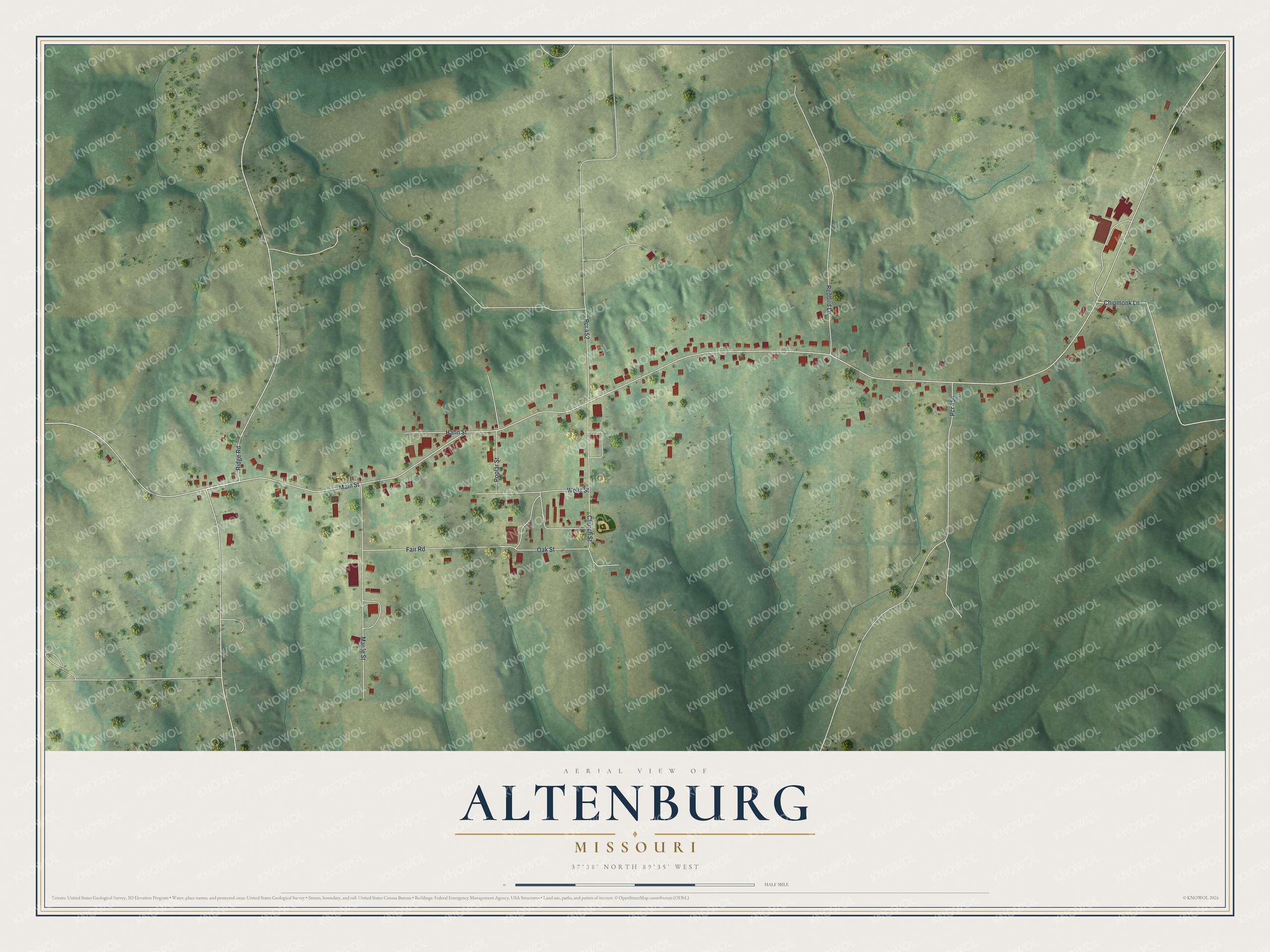
Created by KNOWOL in 2026, this Altenburg map shows the town's streets and buildings on shaded green hills. The hills come from USGS elevation data, and the streets come from Census Bureau records. The title panel reads "Aerial View of Altenburg, Missouri" with 37°38' North, 89°35' West and a half-mile scale bar.
Hang it in a kitchen, a front room or a home office. It makes a fine gift for someone who grew up in Altenburg and now lives far away, or for a family whose people are from Perry County. Open the preview and follow Main Street to a house you know. Shop the Altenburg, Missouri map.