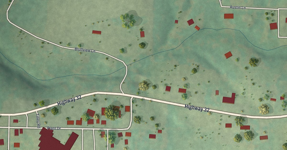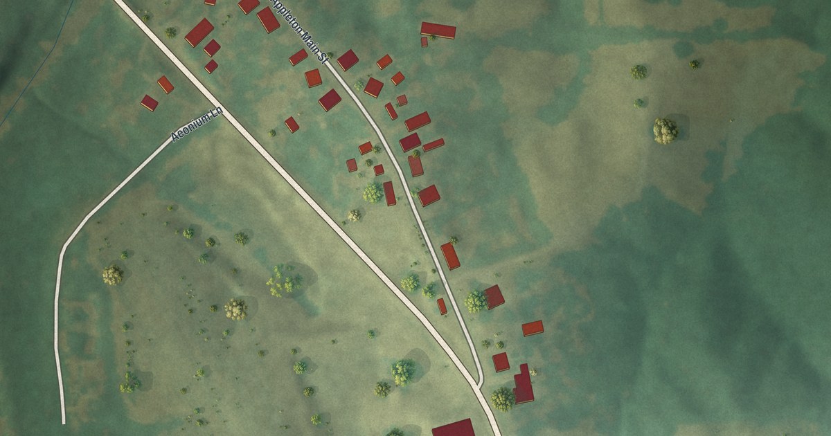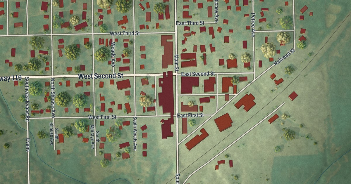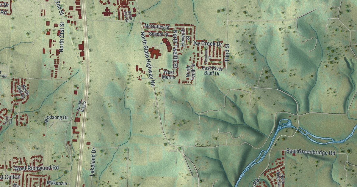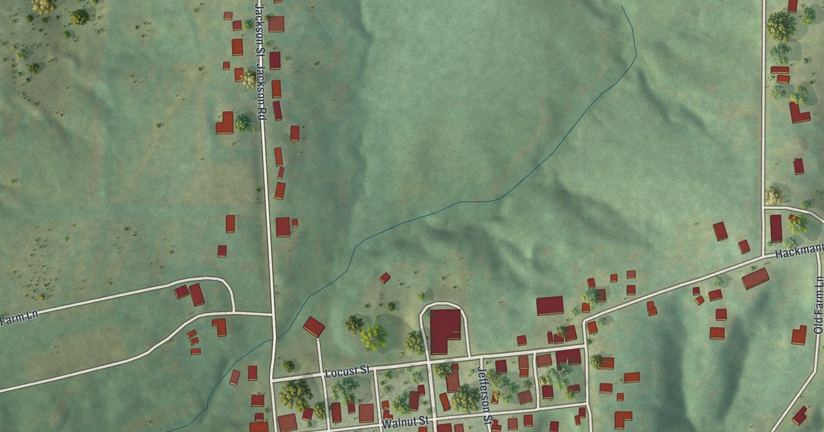
If you grew up in Augusta, look for your old street here. Using modern data with a vintage feel, this aerial view shows Augusta, Missouri, in St. Charles County. Red buildings gather along the town's streets, with green hills stretching around them.
Main Street and the Augusta name
On this map you'll find Main Street, South Highway 94, Locust Street, High Street, Walnut Street, Jackson Street, Public Street, Chestnut Street, Washington Street, Webster Street, Water Street, Church Road, and more. Each red shape is a building, so zoom in on the preview and look for yours.
The name beneath these streets began with a family. The State Historical Society of Missouri's place-name account says Leonard Harold laid out the town in 1836. He named it for his wife, Augusta. Her name is the large word in the title panel below today's streets and buildings. It's a small piece of town history to share when someone asks about the print.
Augusta on your wall
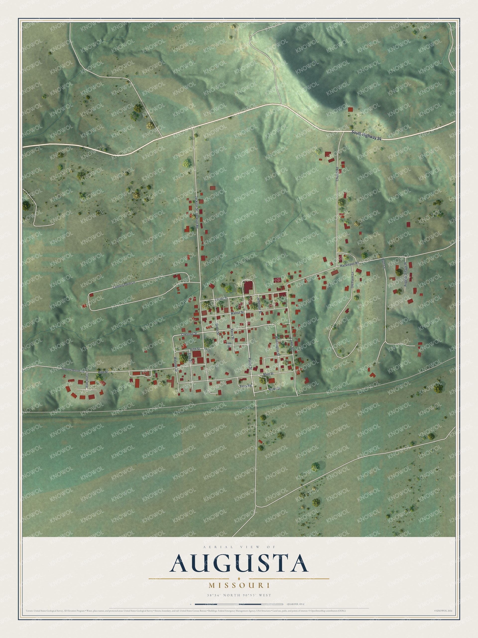
Created by KNOWOL in 2026, the print pairs soft green terrain with red buildings and pale roads. A cream border surrounds the view. The title panel reads AERIAL VIEW OF, AUGUSTA, MISSOURI, and 38°34' NORTH 90°53' WEST.
Hang it in a living room, entryway, or home office. It's a gift for someone with family on Main Street, or someone who's moved away from Augusta. Open the preview to take a closer look at the streets you know. See sizes and frames for the Augusta map.