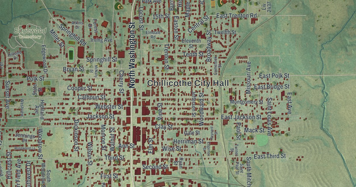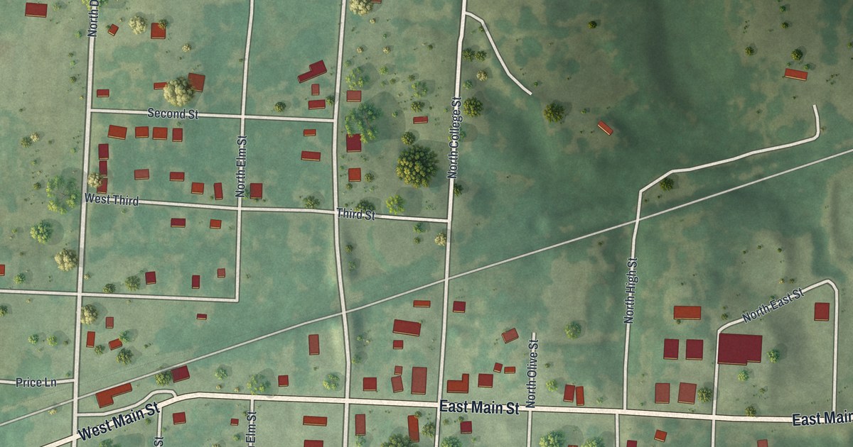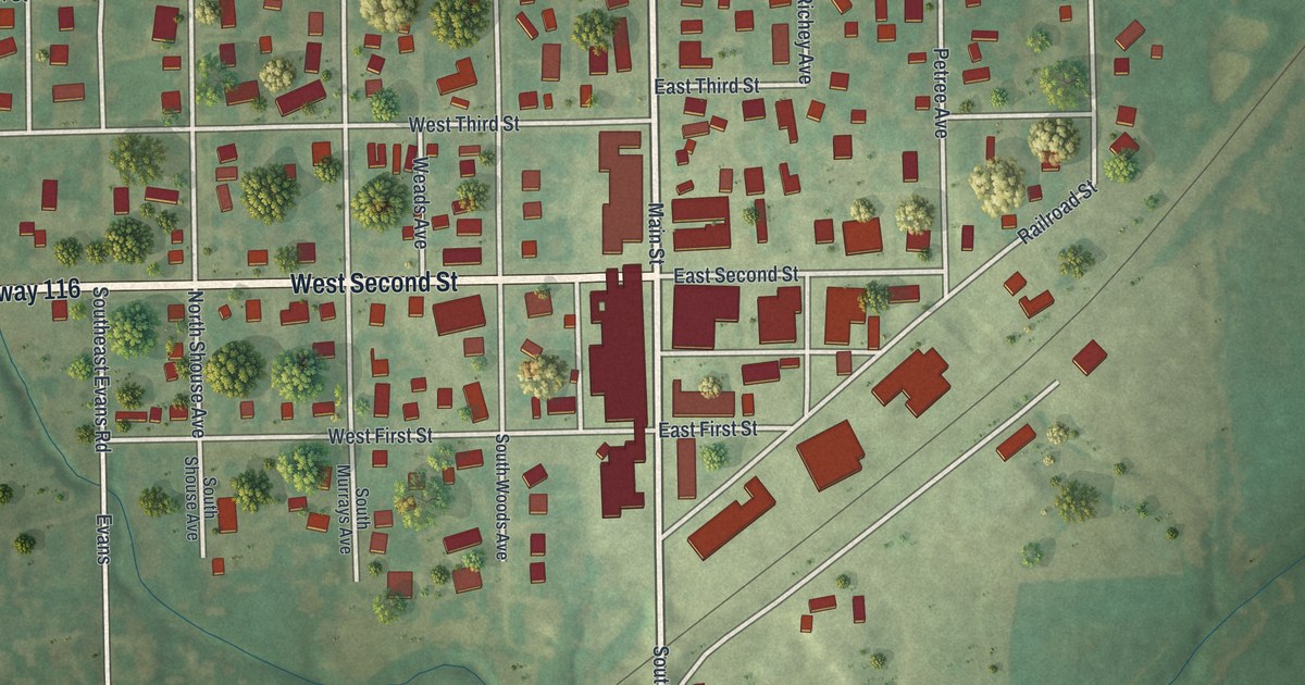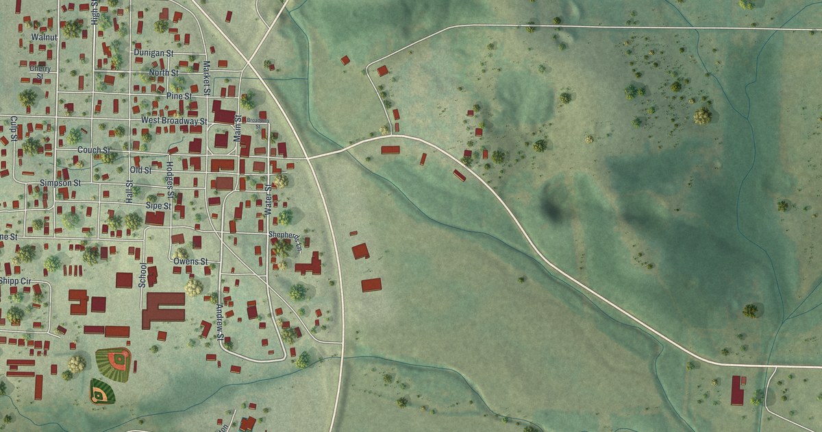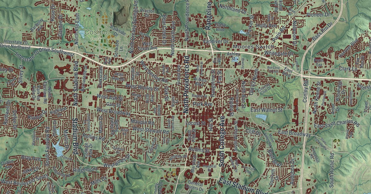
If you grew up in Columbia, this print puts your hometown in view. It's a modern aerial view of Columbia in Boone County, Missouri, blending modern data with a vintage feel. Red buildings fill the street grid and spread into winding neighborhoods. Green hills and blue streams surround the city.
East Broadway, Providence Road and your neighborhood
On this map you'll find East Broadway, West Broadway, South Providence Road, North Providence Road, South College Avenue, Stadium Boulevard, Rangeline Street, Forum Boulevard, Hitt Street, Rollins Street, East Walnut Street, Cosmo Park, and more. Each red shape is a building, so zoom in on the preview and look for yours.
Columbia's first church stood at Sixth and Walnut. The 1882 History of Boone County names it as the Presbyterian church. It was built in 1830, on the corner's southwest side. On the map, look for East Walnut Street among the close-set downtown blocks. That street name connects today's view with a small piece of Columbia's early years.
Keep Columbia close to home
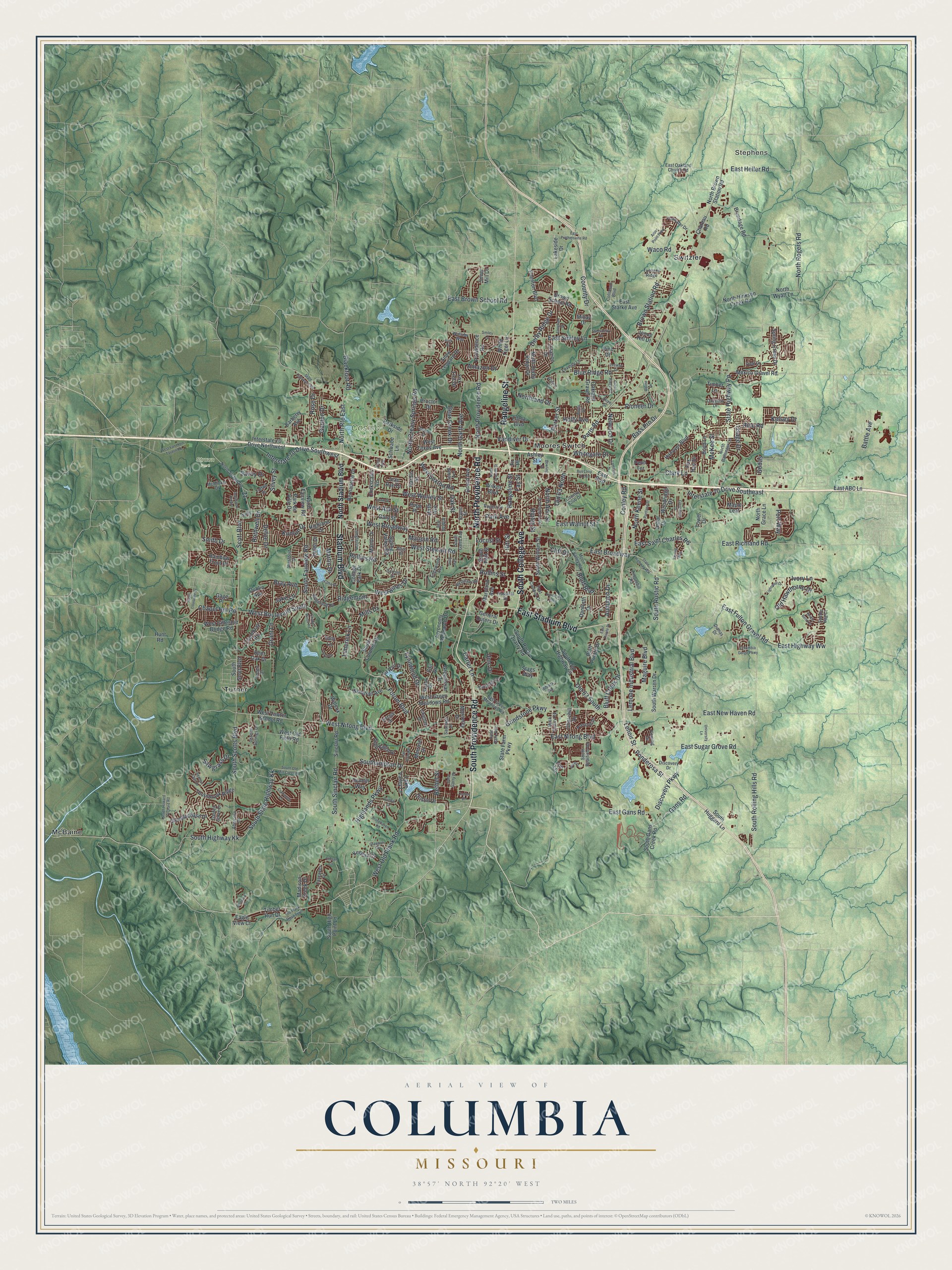
Created by KNOWOL in 2026, the print pairs green shaded hills with red buildings and pale roads. Blue waterways cross the landscape, set within a cream border. The title panel reads AERIAL VIEW OF, COLUMBIA, MISSOURI, with 38°57' NORTH 92°20' WEST below.
Hang it in a living room, office or entryway. It's a thoughtful gift for someone who grew up near Cosmo Park or moved away from Columbia. Open the preview and find the streets you'd like to keep close. See sizes and frames for the Columbia map.