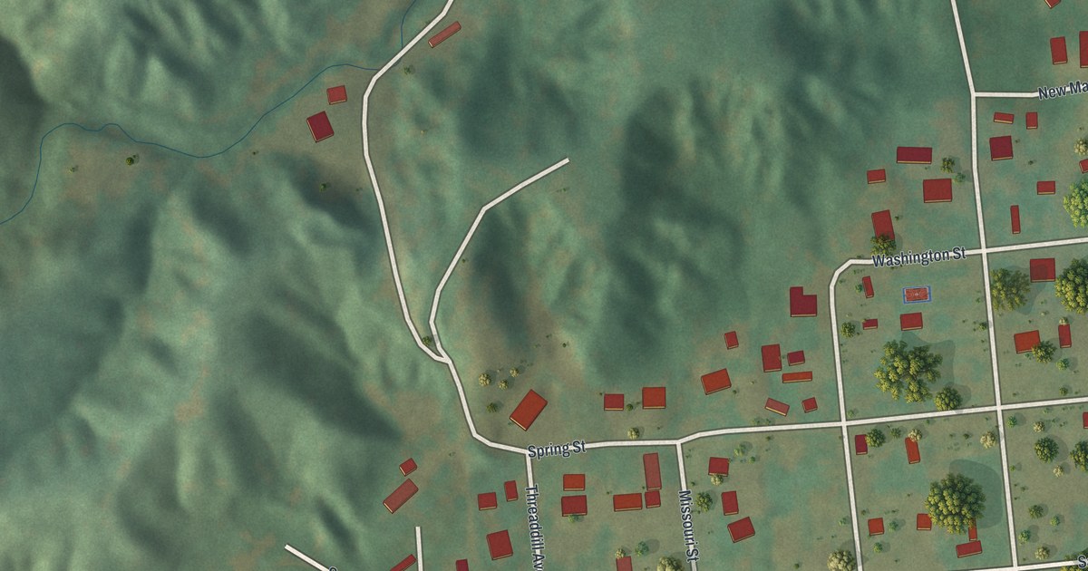
If you grew up in Commerce, these streets may still feel like home. It's a modern aerial view of Commerce in Scott County, Missouri, made with modern data and a vintage feel. Red buildings dot a small street grid beside a wide blue river. Green hills rise beyond the blocks.
Tywappity Street and North Water Street
On this map you'll find Tywappity Street, North Water Street, Cape Girardeau Street, Washington Street, Spring Street, Missouri Street, New Madrid Street, South Street, Honey Avenue, Hunter Avenue, Levee Road, and more. Each red shape is a building, so zoom in on the preview and look for yours.
Commerce's name comes from the work people did here. The State Historical Society of Missouri's place-name account says it was a trading post with plenty of business from early days. That trade gave the town its name. On this print, the name COMMERCE sits in the cream panel at the bottom, beneath the town's streets. It's a small piece of local history you can share when someone asks about the name.
Commerce City Hall, on the Village Square bordered by Tywappity, Cape Girardeau, Spring and Washington streets, was listed on the National Register of Historic Places in 2005.
Commerce on your wall
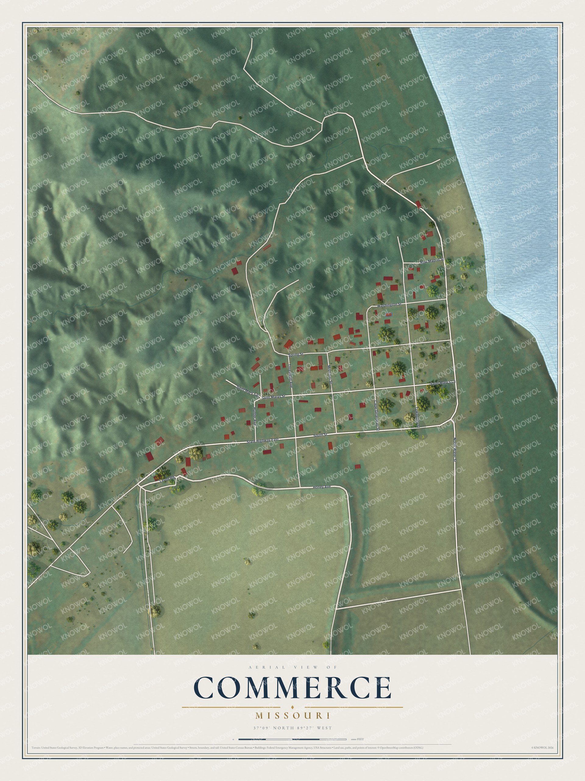
Created by KNOWOL in 2026, the print pairs green land and blue water with red buildings and pale roads. A cream border surrounds the view. The title panel reads AERIAL VIEW OF, COMMERCE, MISSOURI, and 37°09' NORTH 89°27' WEST.
Hang it in a living room, office, or entryway to keep Commerce close. It makes a thoughtful gift for anyone who calls Commerce home, or who grew up along its streets. Open the preview to take a closer look at the streets and buildings. See sizes and frames for the Commerce map.