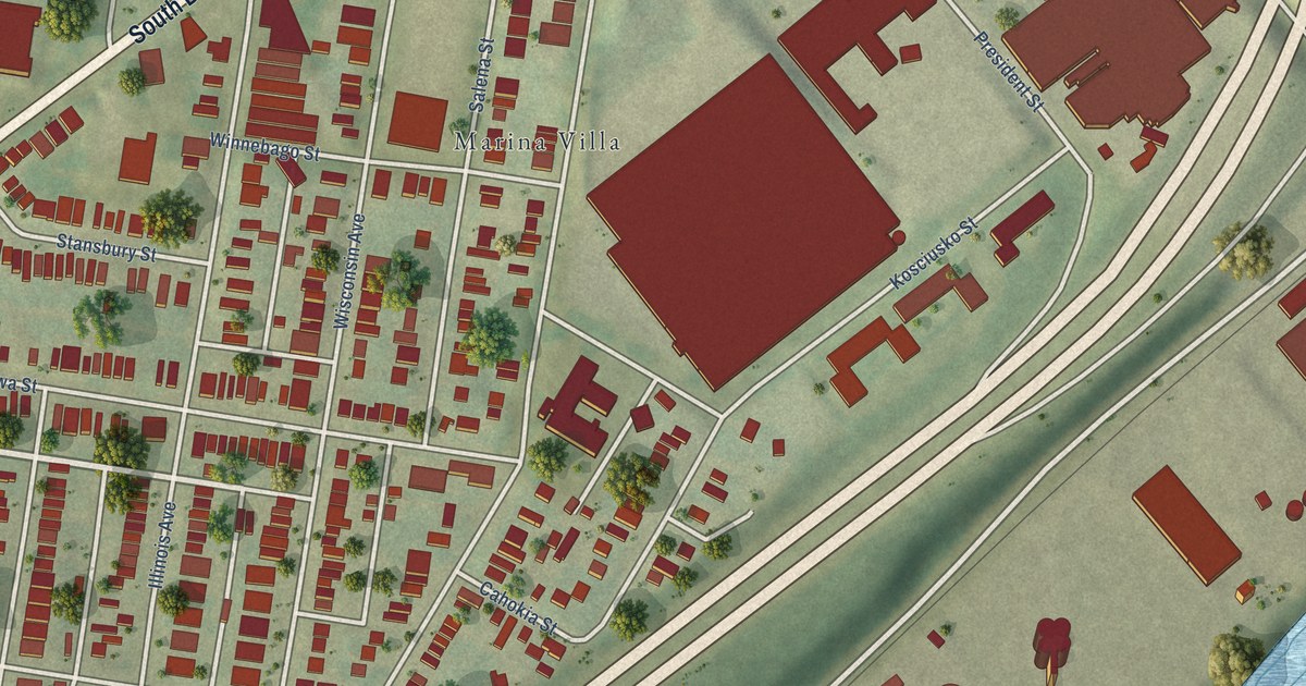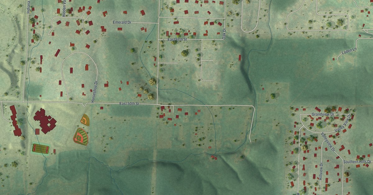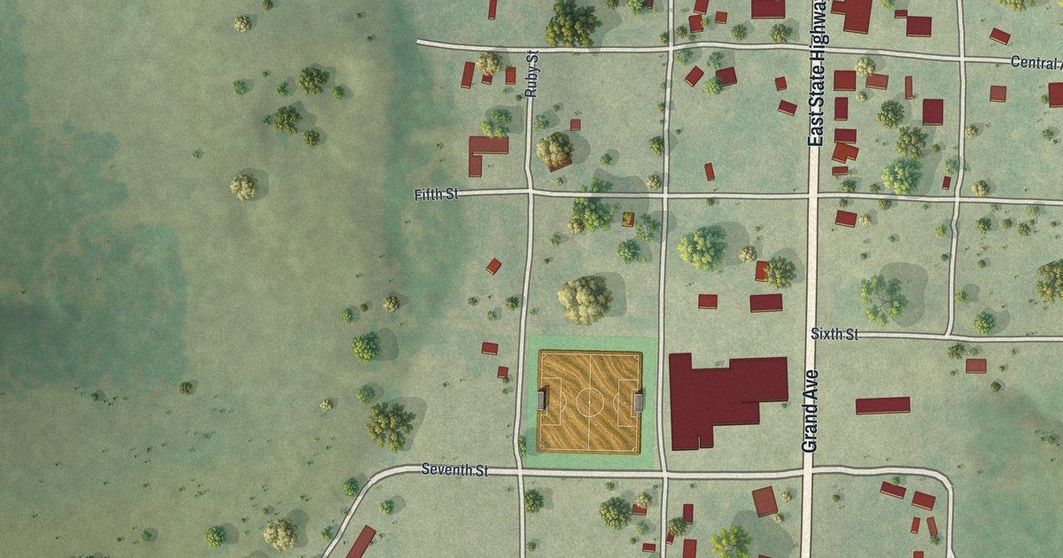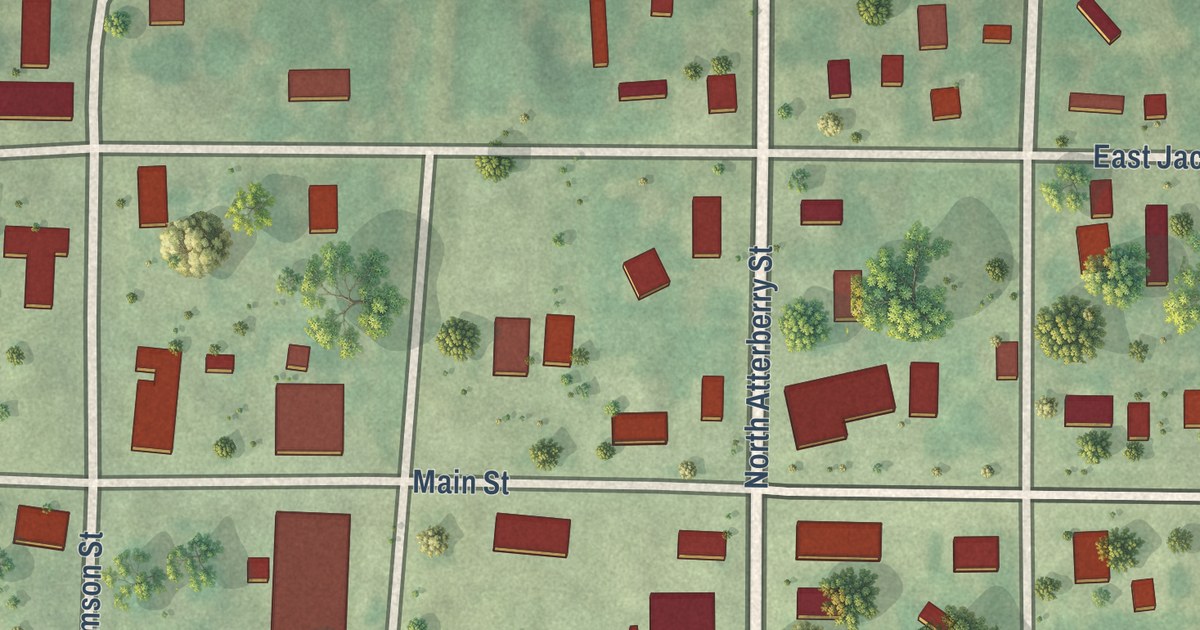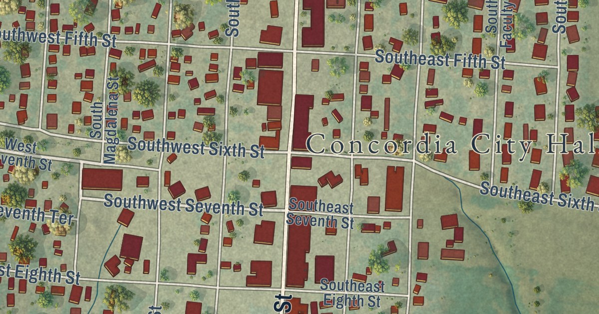
This beautifully detailed map of Concordia, Missouri was created in 2026 using aerial imagery combined with modern topographical, census, street and landmark data. It’s a one-of-a-kind view of Concordia that combines accurate data with a vintage aesthetic. The map shows every building in its true location, many of the roads carry their names, and the shaded topographic relief shows the shape of the land.
Explore an aerial view of Concordia, Missouri
On the map you’ll find Concordia City Hall, along with South Main Street, North Main Street, Southwest Seventh Street, First Street, East First Street, South Bonn Road, South Frederick Street, South Bismark Street, Southwest 13th Street, South Street, South West Street, and more. If you look closely you can even find your house accurately drawn in its correct location. Zoom in on the preview to look for yours.
Did you know this piece of Concordia, Missouri history?
From the 1910 Young’s History of Lafayette County, Missouri: "When twenty-two his father assisted him in the purchase of a farm north of Concordia, on which he lived until, in 1880, he removed into Concordia, where he bought a mill and ran it for two years, when it burned and he lost almost all he had."
Take a closer look at the Concordia map
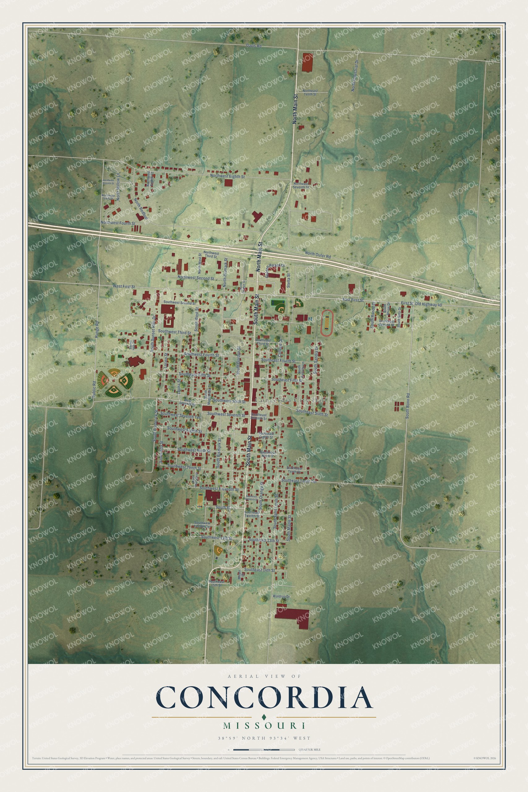
Street and place names on the Concordia, Missouri map
These names are printed on the map of Concordia, Missouri.
Places: Concordia City Hall.
Streets and roads: South Main Street, North Main Street, Southwest Seventh Street, First Street, East First Street, South Bonn Road, South Frederick Street, South Bismark Street, Southwest 13th Street, South Street, South West Street, Southeast 13th Street.
More street names, A to Z
College Drive, Davis Road, Golden Award Drive, Leona Street, Lorien Street, Meyer Drive, North Bismark Street, Northeast Seventh Street, Northeast Tenth Street, North Gordon Street, North Industrial Drive, North Outer Road, North Redbud, Northwest Eighth Court, Northwest Eighth Street, Northwest Fourth Street, Northwest Second Street, Northwest Seventh Street, Northwest Sixth Street, North West Street, Northwest Third Street, North Willow Lane, Old Highway 40, Public Road, Runge Road, South Ada Street, South Biltz Drive, South Charlotte Street, Southeast 14th Street, Southeast 15th Street, Southeast Eighth Street, Southeast Eleventh Street, Southeast Fifth Street, Southeast Fourth Street, Southeast Ninth Street, Southeast Second Street, Southeast Seventh Street, Southeast Sixth Street, Southeast Tenth Street, Southeast Tenth Terrace, Southeast Third Street, Southeast Twelfth Street, South Faculty Lane, South Gordon Street, South Magdalena Street, South Maple Street, South Orange Street, South Rhine Drive, South Runde Drive, South Saint Louis Street, South Sandia Drive, South Sunset Hills Drive, Southwest Eighth Street, Southwest Eleventh Street, Southwest Fifth Street, Southwest Fourth Street, Southwest Ninth Street, Southwest Second Street, Southwest Seventh Terrace, Southwest Sixth Street, Southwest Tenth Street, Southwest Third Street, Southwest Twelfth Terrace, Stella Street, Sunset Hills Terrace, Waldrop Drive, West First Street, West Seventh Street.
See the Concordia, Missouri map on a wall
The Concordia map as an 18 x 24 inch print in a black frame.

This beautifully detailed map of Concordia makes an attractive addition to your office, library, or den, and it can even be used to teach children the geography and history of the area. It also makes a great gift for someone who left Concordia and still calls it home. When you’re done exploring, click here to get your copy of the Concordia map.