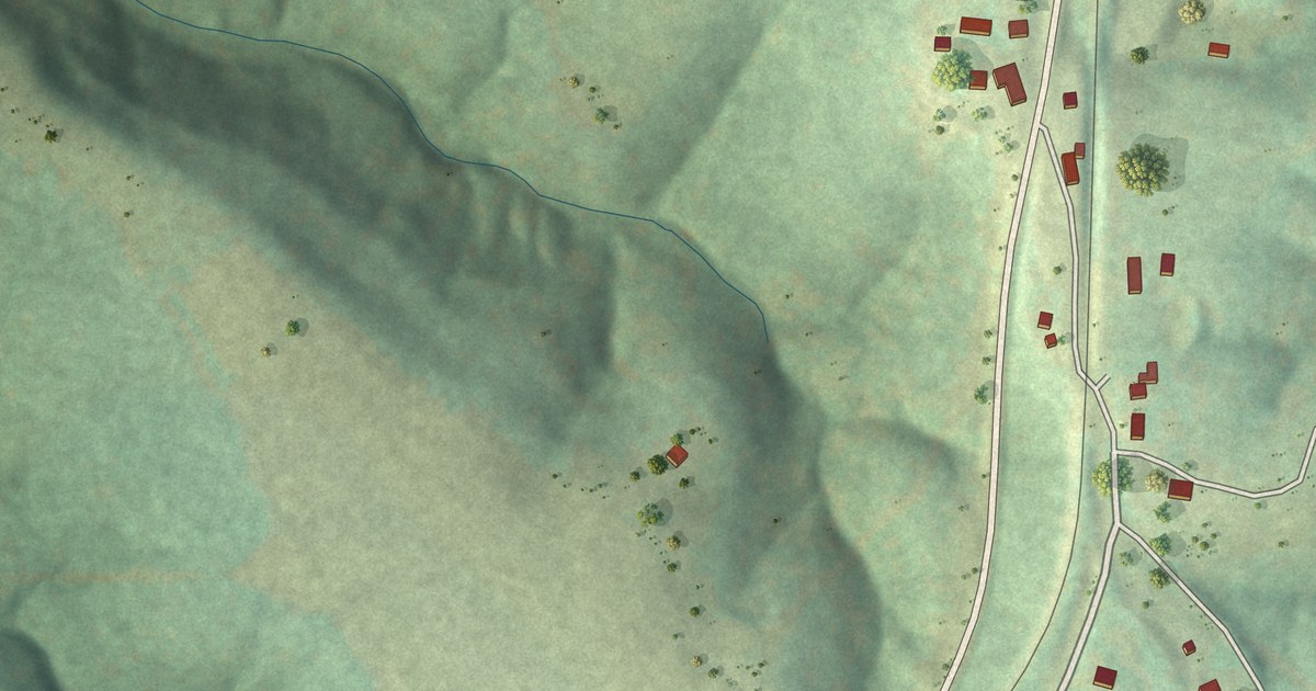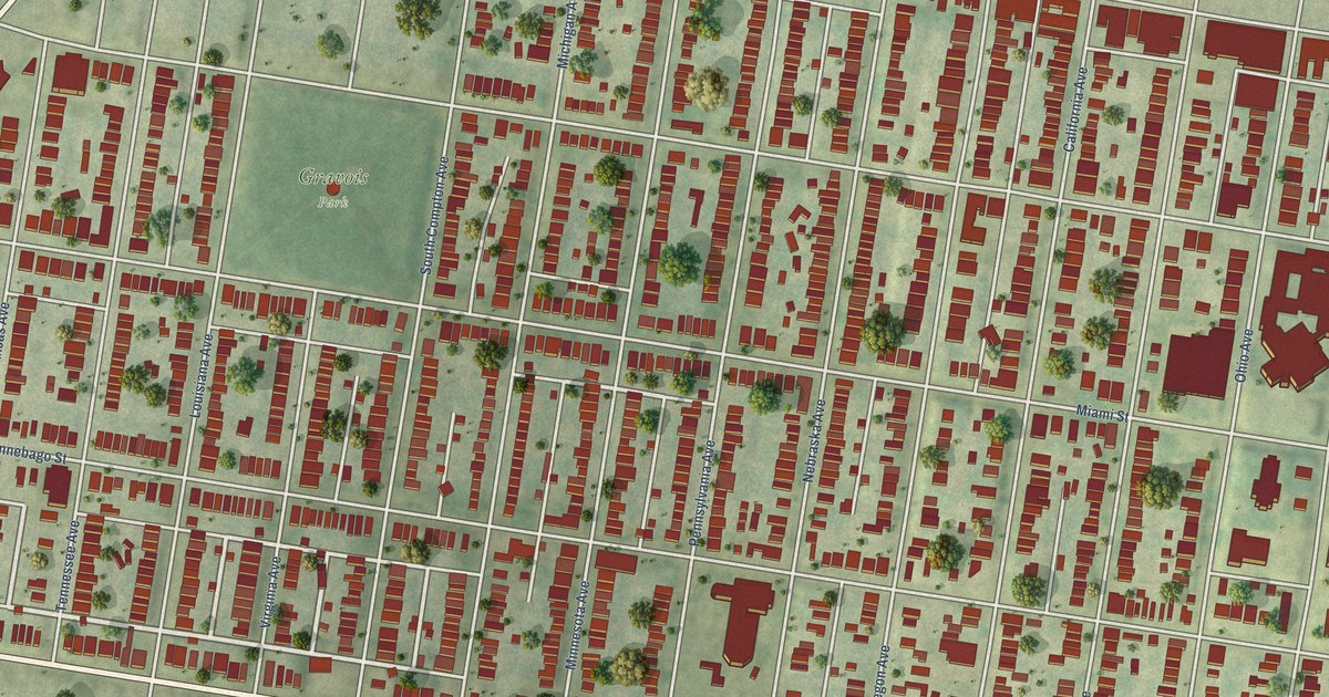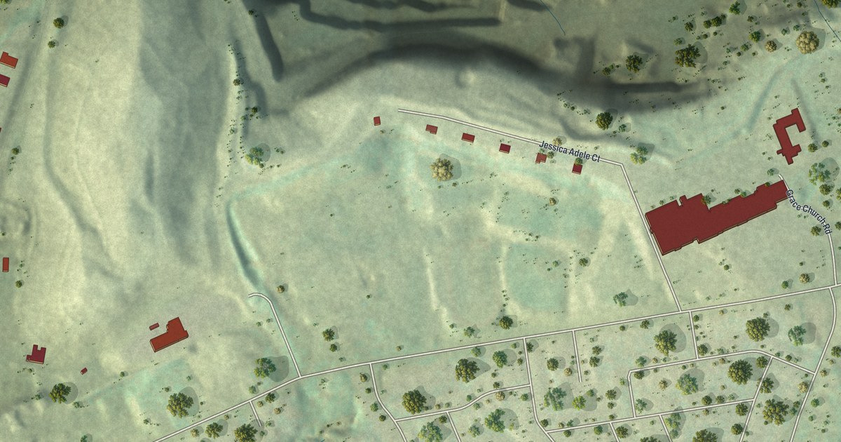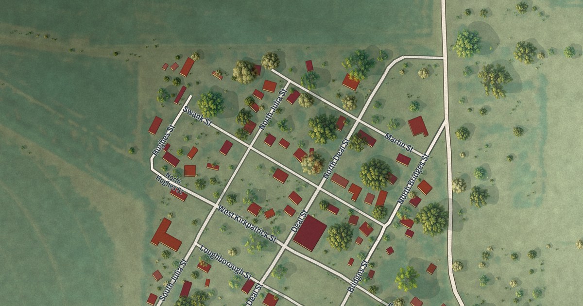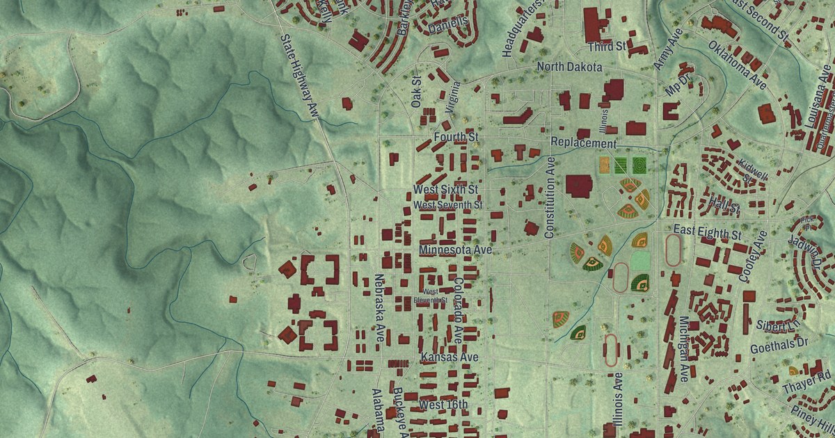
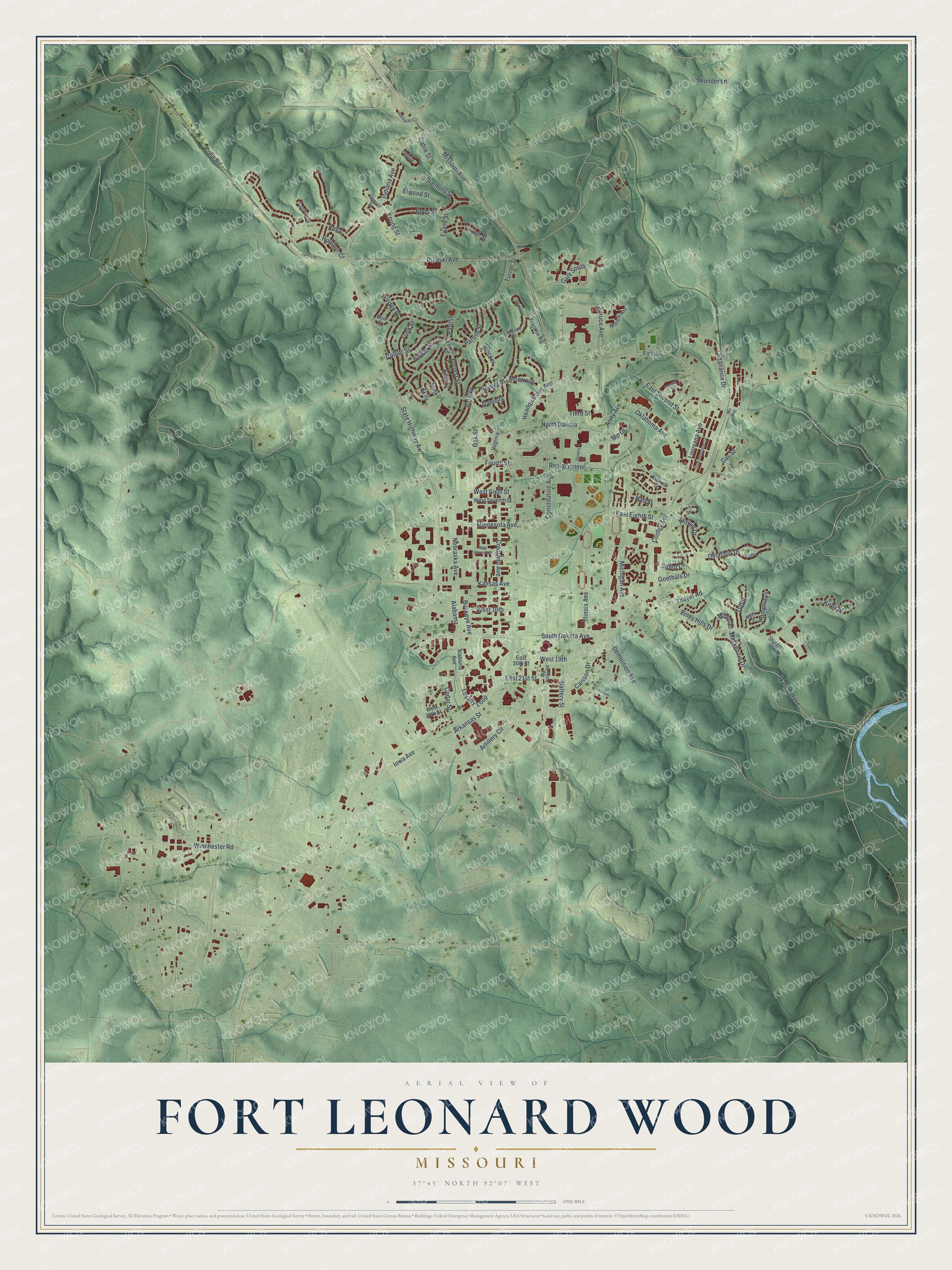
This beautifully detailed map of Fort Leonard Wood, Missouri was created in 2026 using aerial imagery combined with modern topographical, census, street and landmark data. It’s a one-of-a-kind view of Fort Leonard Wood that combines accurate data with a vintage aesthetic. The map shows every building in its true location, many of the roads carry their names, and the shaded topographic relief shows the shape of the land.
Explore an aerial view of Fort Leonard Wood, Missouri
On the map you’ll find First Street, State Highway Aw, Indiana Avenue, South Dakota Avenue, Constitution Avenue, Missouri Avenue, Piney Hills Drive, Kirby Street, Nebraska Avenue, Spruce Avenue, West Sixth Street, Kansas Avenue, and more. If you look closely you can even find your house accurately drawn in its correct location. Zoom in on the preview to look for yours.
Did you know this piece of Fort Leonard Wood, Missouri history?
From the Historical Marker Database: "The 75th Infantry Division was activated at Fort Leonard Wood, Missouri on 15 April 1943."
Take a closer look at the Fort Leonard Wood map
Street names on the Fort Leonard Wood, Missouri map
These names are printed on the map of Fort Leonard Wood, Missouri.
Streets and roads: First Street, State Highway Aw, Indiana Avenue, South Dakota Avenue, Constitution Avenue, Missouri Avenue, Piney Hills Drive, Kirby Street, Nebraska Avenue, Spruce Avenue, West Sixth Street, Kansas Avenue.
More street names, A to Z
Alabama, Alabama Avenue, Arkansas Street, Army Avenue, Artillery Circle, Barger Street, Barkley, Battery Street, Big Piney Road, Buckeye Avenue, Burr Place, Cable Street, Caisson Drive, Castleberry, Cedar Street, Collier Street, Colorado Avenue, Cooley Avenue, Daniells, Delafield Drive, Demolition Avenue, Depuy, Diamond Street, East 20th Street, East 21st Street, East Eighth Street, East Second Street, Ellis Street, Elwood Street, Epps Street, Evans Street, Forest Street, Forrest Street, Fourth Street, Franklin Road, Frizell Street, Funk, Funk Street, Gas Street, Gate South, Gateway Circle, Goethals Drive, Gridley, Hall Street, Hatler Street, Headquarters Avenue, Houston Court, Humphreys, Illinois, Illinois Avenue, Immell Street, Iowa Avenue, Jadwin Drive, Kelly, Kidwell Street, Louisana Avenue, Loyalty Loop, Mackenzie Drive, Michigan Avenue, Minnesota Avenue, Mn Avenue, Montrose, Morelli Heights, Mp Drive, North Dakota, Oak Street, Oklahoma Avenue, Ordanance Drive, Parrish, Parrish Street, Peden Place, Phoenix, Pick Place, Pike, Polla Road, Pulaski Avenue, Quartermaster Street, Replacement, Rolla, Second Street, Sheppard Street, Sibert Lane, Specker, Sturgis Drive, Swift Street, Thayer Road, Third Street, Thunder Lane, Toten, Turner Street, Virginia, Water Intake, West 16th, West 19th, West 20th Street, West Eleventh Street, West Seventh Street, Wheeler, Winchester Road, Young Street.
See the Fort Leonard Wood, Missouri map on a wall
The Fort Leonard Wood map as an 18 x 24 inch print in a black frame.

This beautifully detailed map of Fort Leonard Wood makes an attractive addition to your office, library, or den, and it can even be used to teach children the geography and history of the area. It also makes a great gift for someone who left Fort Leonard Wood and still calls it home. When you’re done exploring, click here to get your copy of the Fort Leonard Wood map.