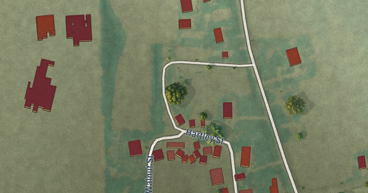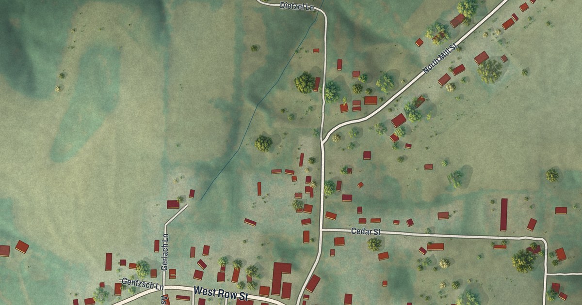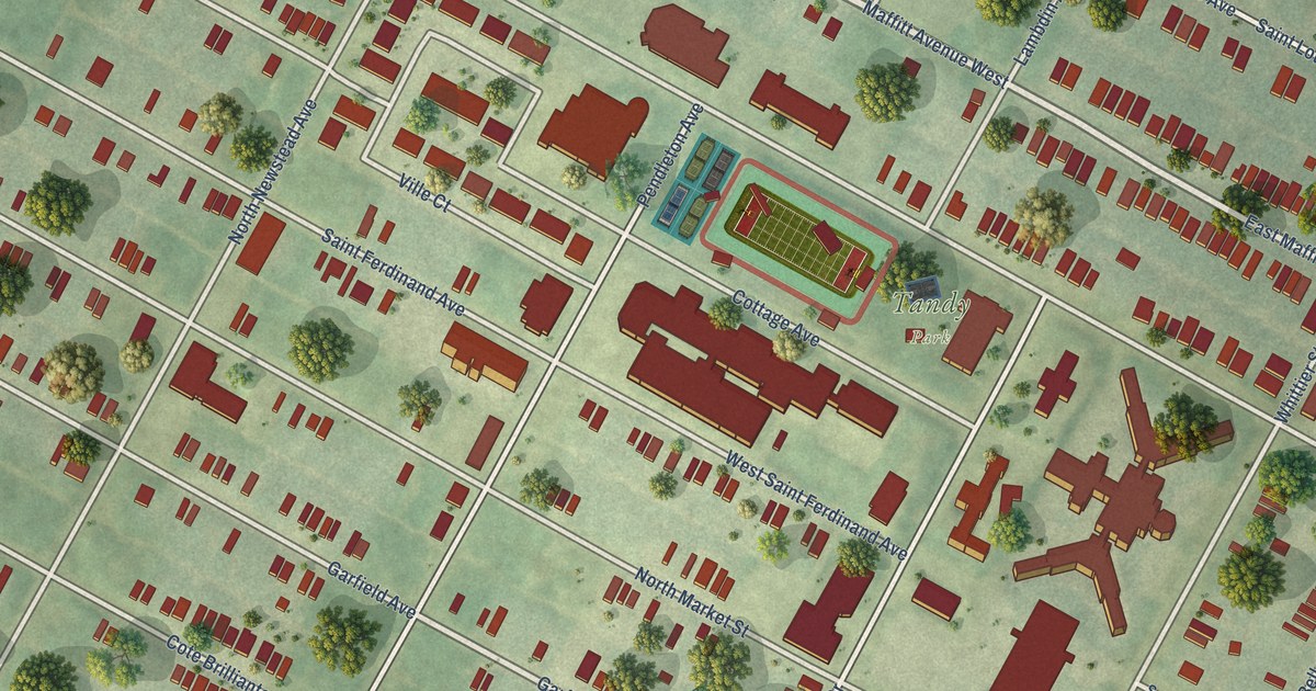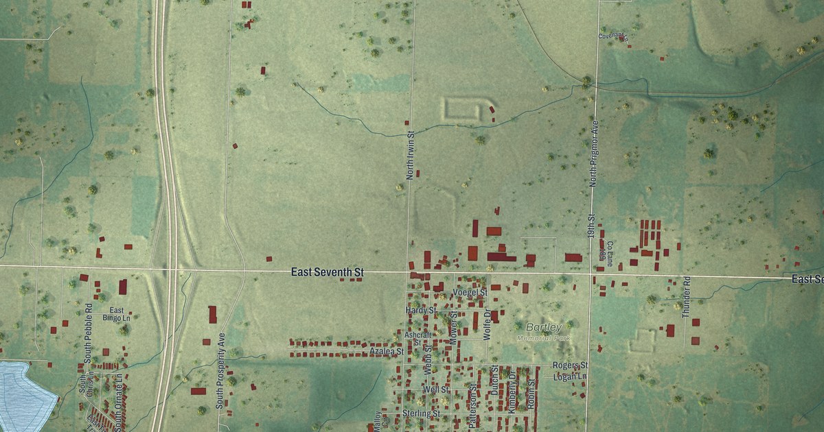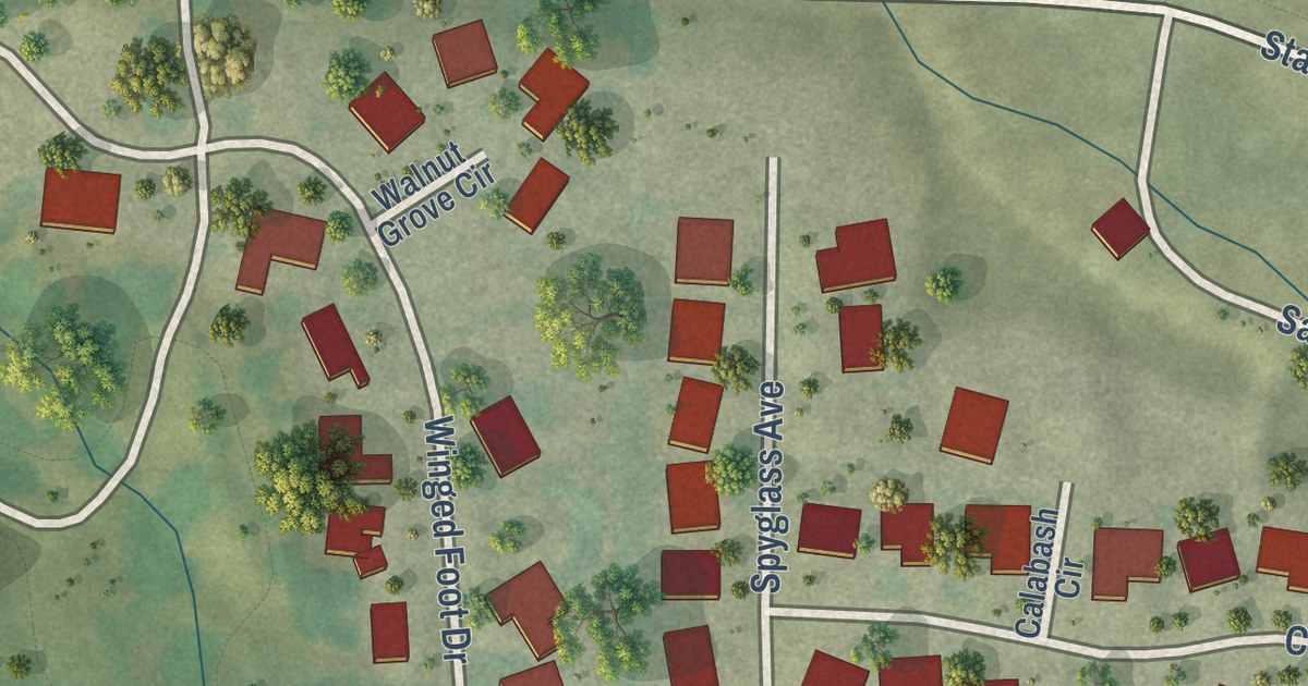
This beautifully detailed map of Fremont Hills, Missouri was created in 2026 using aerial imagery combined with modern topographical, census, street and landmark data. It’s a one-of-a-kind view of Fremont Hills that combines accurate data with a vintage aesthetic. The map shows every building in its true location, many of the roads carry their names, and the shaded topographic relief shows the shape of the land.
Explore an aerial view of Fremont Hills, Missouri
On the map you’ll find Fremont Hills City Hall, Cassidy, and East State Highway CC, along with Interlochen Drive, Rolling Hills Drive, Winged Foot Drive, State Highway CC, Pasatiempo Drive, Oakmont Drive, Fremont Road, North Fremont Road, Greenbriar Drive, and more. If you look closely you can even find your house accurately drawn in its correct location. Zoom in on the preview to look for yours.
Did you know this piece of Fremont Hills, Missouri history?
Jack L. Engel dreamed of a Christian County golf course in the mid-1960s and began developing nine holes in 1968. As the surrounding community grew, residents incorporated Fremont Hills in 1986. That’s from the City of Fremont Hills.
Take a closer look at the Fremont Hills map
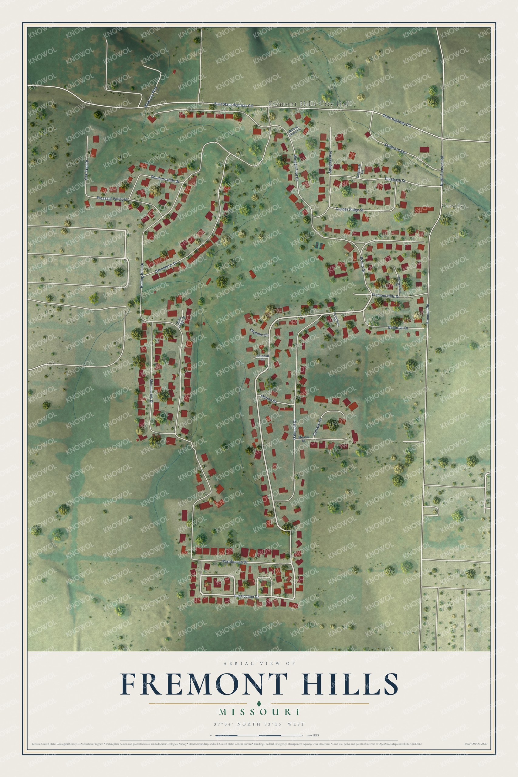
Street and place names on the Fremont Hills, Missouri map
These names are printed on the map of Fremont Hills, Missouri.
Places: Fremont Hills City Hall and Cassidy.
Streets and roads: Interlochen Drive, Rolling Hills Drive, Winged Foot Drive, East State Highway CC, State Highway CC, Pasatiempo Drive, Oakmont Drive, Fremont Road, North Fremont Road, Greenbriar Drive, Shinnecock Drive, Calabash Street.
More street names, A to Z
Bellerive Drive, Blue Jay Way, Calabash Circle, Canterbury Drive, Colonial Circle, Congressional Circle, Copper Ridge Street, Cottage Lane, Fremont Hills Drive, Merion Drive, Meroin Drive, Oak Tree Drive, Olympic Circle, Pleasant Valley Drive, Quail Ridge Court, Sawgrass Avenue, Scioto Drive, Southern Hills Drive, Spyglass Avenue, Walnut Grove Circle.
See the Fremont Hills, Missouri map on a wall
The Fremont Hills map as an 18 x 24 inch print in a black frame.

This beautifully detailed map of Fremont Hills makes an attractive addition to your office, library, or den, and it can even be used to teach children the geography and history of the area. It also makes a great gift for someone who left Fremont Hills and still calls it home. When you’re done exploring, click here to get your copy of the Fremont Hills map.