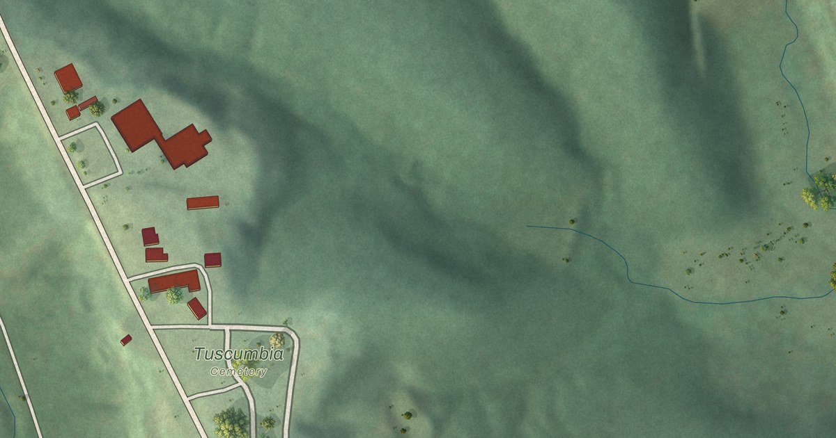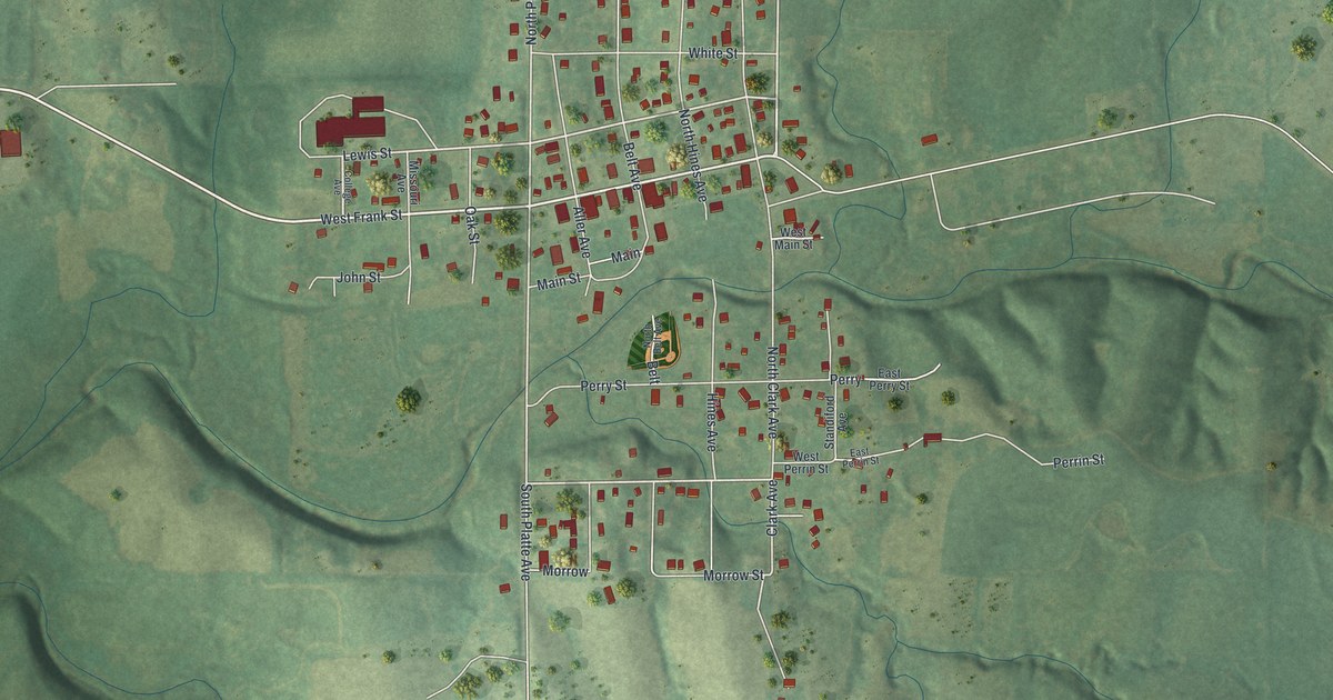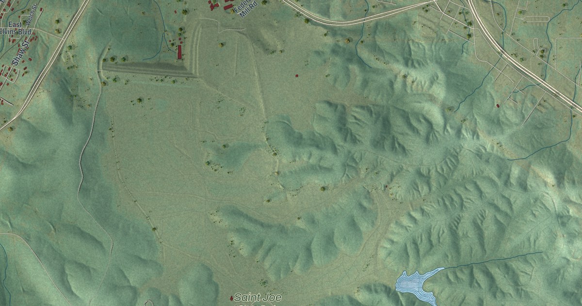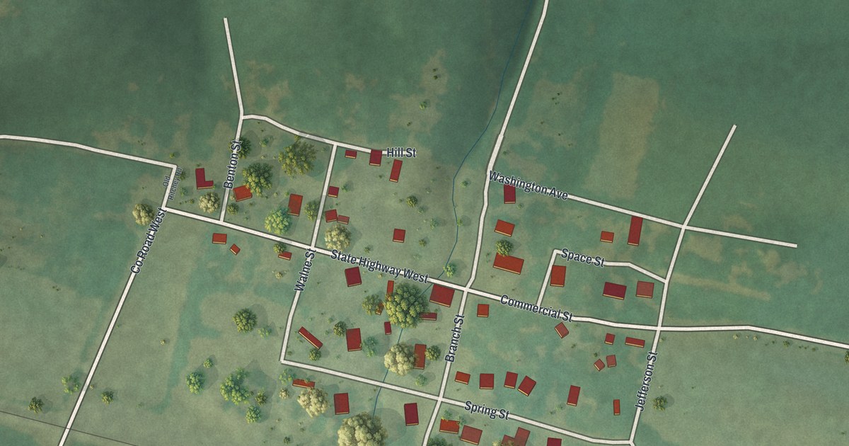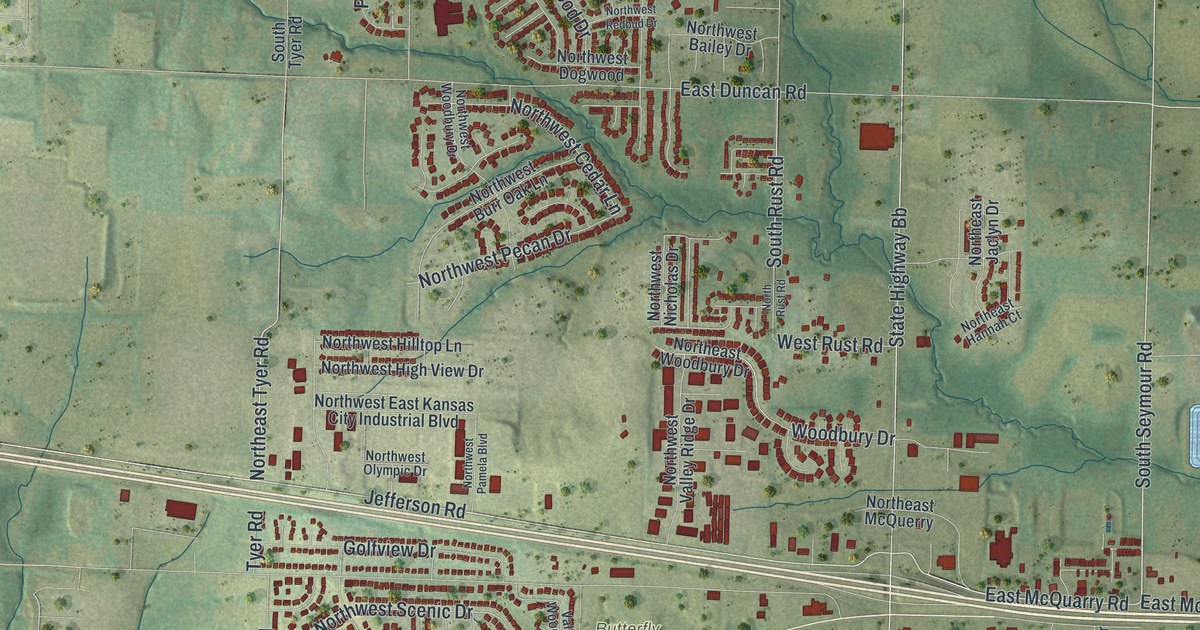
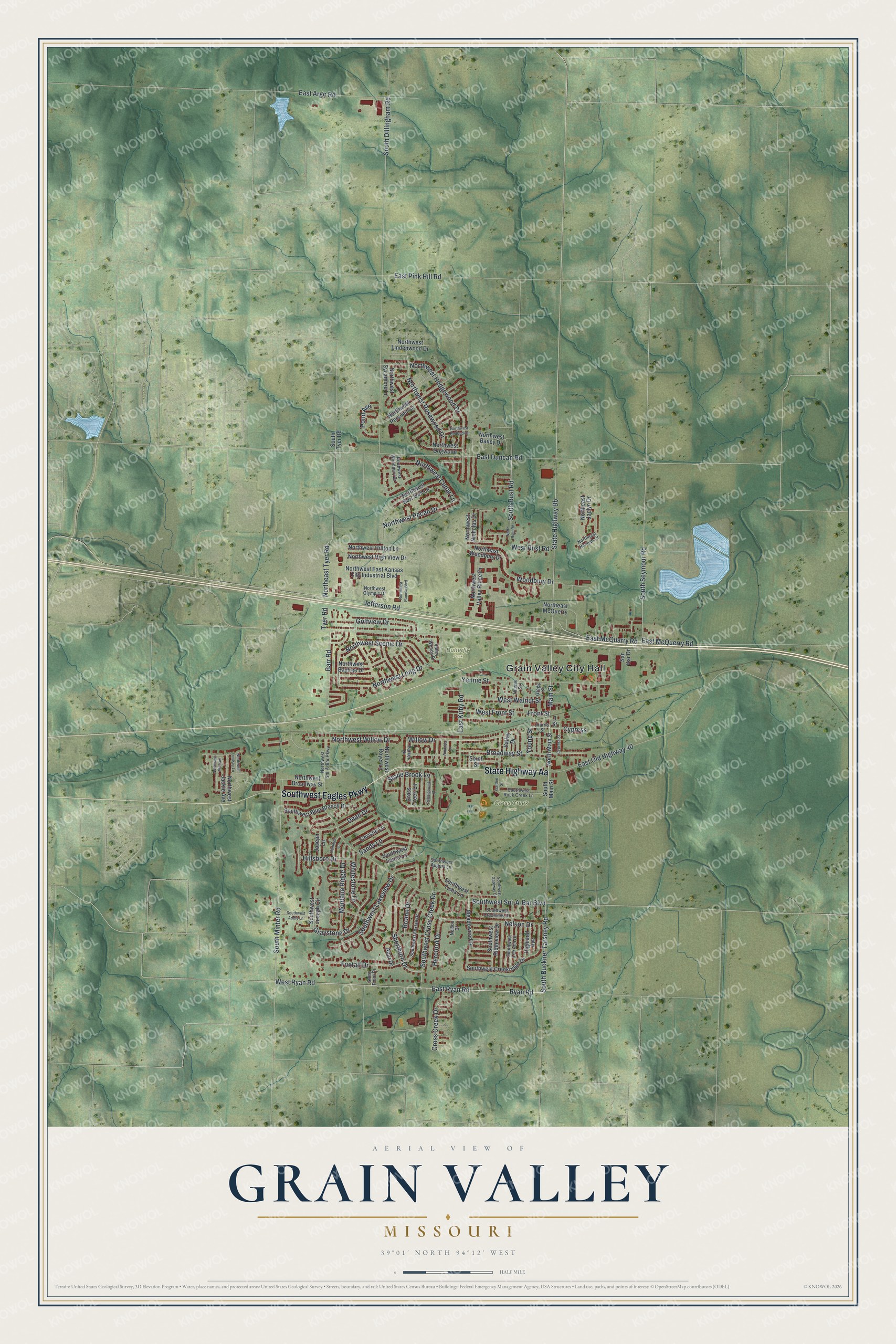
This beautifully detailed map of Grain Valley, Missouri was created in 2026 using aerial imagery combined with modern topographical, census, street and landmark data. It’s a one-of-a-kind view of Grain Valley that combines accurate data with a vintage aesthetic. The map shows every building in its true location, many of the roads carry their names, and the shaded topographic relief shows the shape of the land.
Explore an aerial view of Grain Valley, Missouri
On the map you’ll find Grain Valley City Hall, Butterfly Park, and Cross Creek Park, along with Southwest Eagles Parkway, State Highway Aa, West Ryan Road, Jefferson Road, South Seymour Road, East McQuarry Road, Main Street, Willow Drive, Northeast Tyer Road, and more. If you look closely you can even find your house accurately drawn in its correct location. Zoom in on the preview to look for yours.
Did you know this about Grain Valley, Missouri?
From the State Historical Society of Missouri: "The name is descriptive of its location in a fertile grain-growing valley."
Take a closer look at the Grain Valley map
Street and place names on the Grain Valley, Missouri map
These names are printed on the map of Grain Valley, Missouri.
Places: Grain Valley City Hall, Butterfly Park and Cross Creek Park.
Streets and roads: Southwest Eagles Parkway, State Highway Aa, West Ryan Road, Jefferson Road, South Seymour Road, East McQuarry Road, Main Street, Willow Drive, Northeast Tyer Road, Ryan Road, Southwest Cross Creek Drive, Graystone Drive.
More street names, A to Z
3 Street, Abar Drive, Amanda Lane, Barr Road, Broadway Street, Brome Drive, Christie Lane, Cross Creek Drive, Cross Creek Lane, Cypress, Cypress Street, Dean Drive, East Argo Road, East Duncan Road, East Kirby Road, East McQuerry Road, East Old Highway 40, East Pink Hill Road, East Ryan Road, Foxtail Drive, Front Street, Garden Street, Golfview Drive, Gregg Street, Hamilton Lane, Harris Street, Hereford Drive, Highland Avenue, Hillsboro Drive, Joseph Lane, Meadowood Drive, Montana Ridge Drive, Nelson Court, Nelson Drive, Northeast Hannah Court, Northeast Jaclyn Drive, Northeast McQuerry, Northeast Woodbury Drive, North Main Street, North Rust Road, Northwest Bailey Drive, Northwest Baytree Drive, Northwest Broadway Street, Northwest Burr Oak Lane, Northwest Cedar Lane, Northwest Dogwood, Northwest East Kansas City Industrial Boulevard, Northwest Hedgewood Drive, Northwest High View Drive, Northwest Hilltop Lane, Northwest Jackie Avenue, Northwest Lindenwood Drive, Northwest Lindsey Lane, Northwest Long Drive, Northwest Michael, Northwest Nicholas Drive, Northwest Olympic Drive, Northwest Pamela Boulevard, Northwest Pecan Drive, Northwest Persimmon, Northwest Redbud Drive, Northwest Rosewood Drive, Northwest Royer Lane, Northwest Scenic Drive, Northwest Sni-A-Bar Parkway, Northwest Sycamore Lane, Northwest Valley Ridge Drive, Northwest Willow Drive, Northwest Woodbury Drive, Parker Drive, Pebblebrook Street, Pond Avenue, Sandy Lane, San Kar Drive, Shorthorn Drive, South Buckner Tarsney Road, South Dillingham Road, South Main Street, South Minter Road, South Rust Road, South Street, South Tyer Road, Southwest Addie Lane, Southwest August Lane, Southwest Blue Branch Drive, Southwest Creekridge Drive, Southwest Crestview Drive, Southwest Foxtail Drive, Southwest Gateway Court, Southwest Joseph Circle, Southwest Lakeview Drive, Southwest Laura Lane, Southwest Lee Ann Drive, Southwest Ridgeview Drive, Southwest Rock Creek Lane, Southwest Sni-A-Bar Boulevard, Southwest Tisha Lane, State Highway Bb, Stone Brook Lane, Stony Point Drive, Thieme Street, Tyer Road, Valley Drive, Valley Woods Drive, West Front Street, West Rust Road, West Walnut Street, Whitestone Drive, Woodbury Drive, Yennie Street, Young Street.
See the Grain Valley, Missouri map on a wall
The Grain Valley map as an 18 x 24 inch print in a black frame.

This beautifully detailed map of Grain Valley makes an attractive addition to your office, library, or den, and it can even be used to teach children the geography and history of the area. It also makes a great gift for anyone with Grain Valley roots. When you’re done exploring, click here to get your copy of the Grain Valley map.