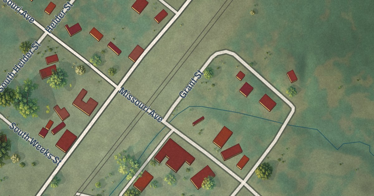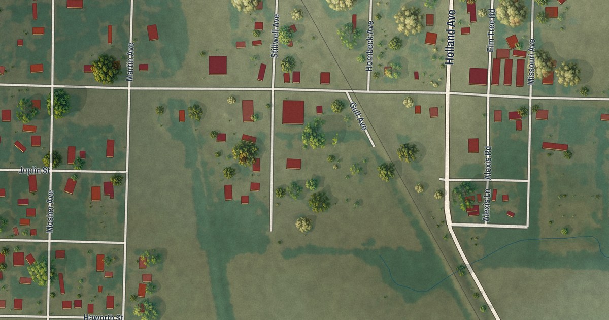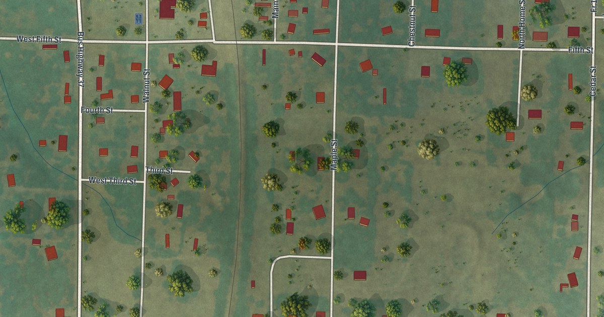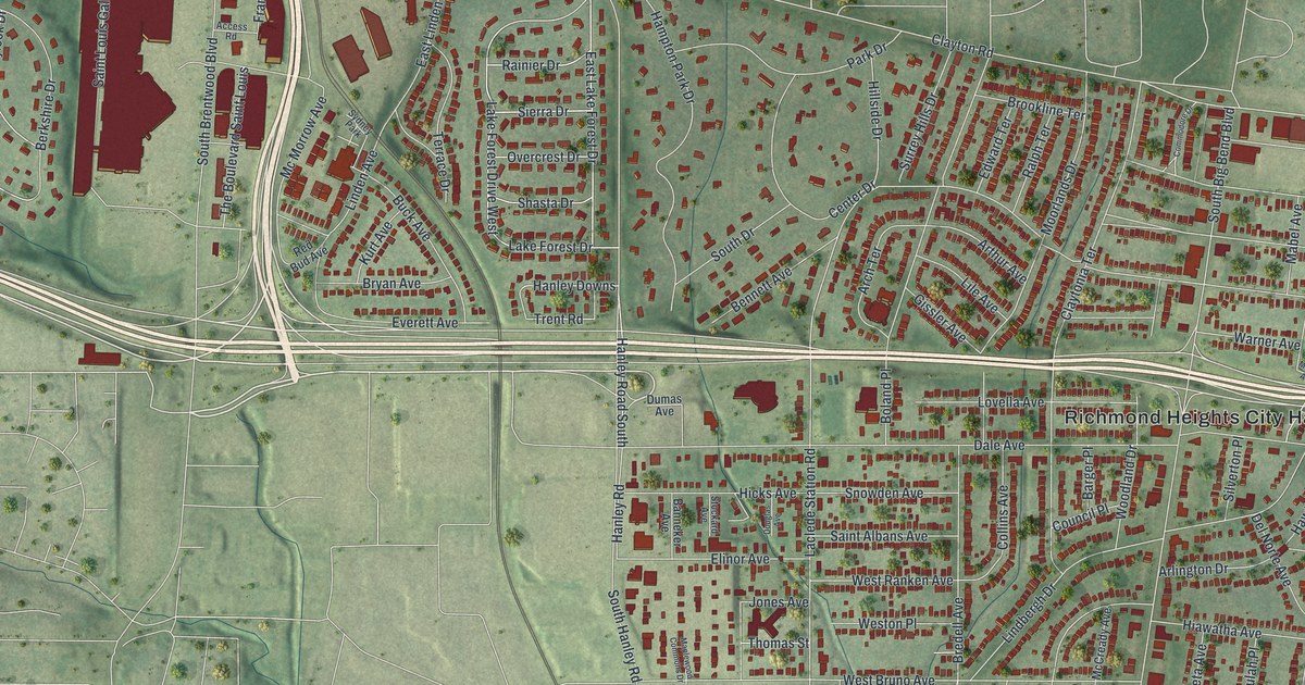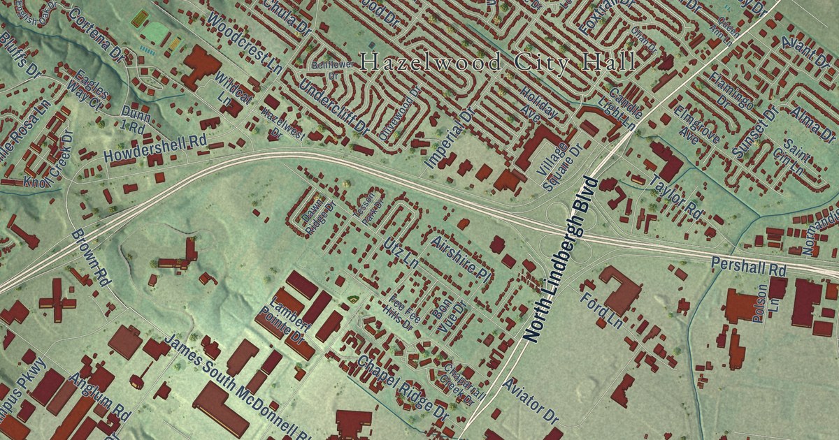
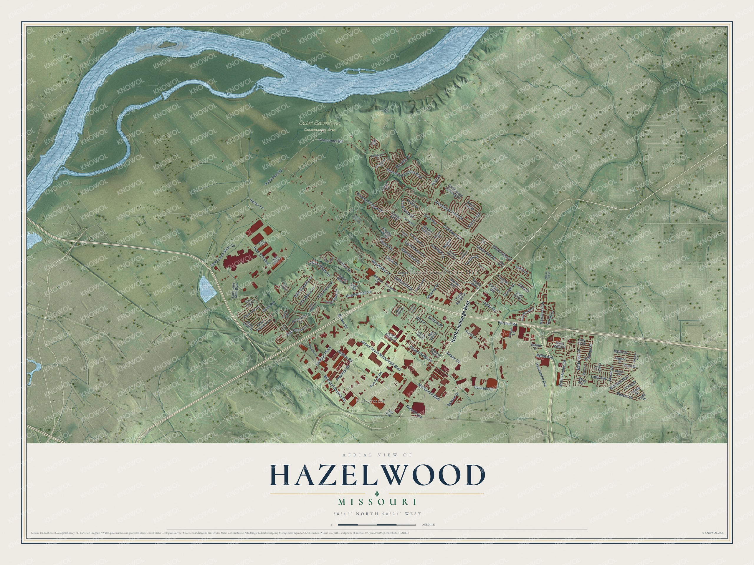
This beautifully detailed map of Hazelwood, Missouri was created in 2026 using aerial imagery combined with modern topographical, census, street and landmark data. It’s a one-of-a-kind view of Hazelwood that combines accurate data with a vintage aesthetic. The map shows every building in its true location, many of the roads carry their names, and the shaded topographic relief shows the shape of the land.
Explore an aerial view of Hazelwood, Missouri
On the map you’ll find Hazelwood City Hall, Robertson, and Saint Stanislaus Conservation Area, along with North Lindbergh Boulevard, Charbonier Road, Moran Drive, Calle Vista Drive, Dunn Road, Teson Road, James South McDonnell Boulevard, McDonnell Boulevard, Missouri Bottom Road, and more. If you look closely you can even find your house accurately drawn in its correct location. Zoom in on the preview to look for yours.
Did you know this piece of Hazelwood, Missouri history?
From the Greater North County Chamber: "The City of Hazelwood was originally incorporated as the Village of Hazelwood, on September 7, 1949."
Take a closer look at the Hazelwood map
Street and place names on the Hazelwood, Missouri map
These names are printed on the map of Hazelwood, Missouri.
Places: Hazelwood City Hall, Robertson and Saint Stanislaus Conservation Area.
Streets and roads: North Lindbergh Boulevard, Charbonier Road, Moran Drive, Calle Vista Drive, Dunn Road, Teson Road, James South McDonnell Boulevard, McDonnell Boulevard, Missouri Bottom Road, Howdershell Road, Aubuchon Road, Pershall Road.
More street names, A to Z
Acorn Trail, Acorn Trail Drive, Airshire Place, Alma Drive, Amanda Lynn Drive, Anglum Road, Auriesville Lane, Avant Drive, Aviator Drive, Avion Way, Barto Drive, Barwick Lane, Becker Drive, Bellflower Drive, Berkridge Drive, Boehner Avenue, Boellner Drive, Bon Vue Drive, Brown Road, Byasee Drive, Byassee Drive, Cady Drive, Campus Parkway, Candle Light Lane, Carey Lane, Carriage Lane, Chaparrall Creek Drive, Chapel Ridge Drive, Chatillon Estates Drive, Cherry Blossom Lane, Chula Drive, Clover Lane, Coach House Drive, Coachway Lane, Cork Lane, Cortena Drive, Dawn Ridge Drive, Dunn 1 Road, Dunn Ridge Court, Eagles Way Court, Elbring Drive, Elmgrove Avenue, English Oak Drive, Fee Fee Hills Drive, Fee Fee Road, Flamingo Drive, Flora Drive, Ford Lane, Foxtrail Drive, Garner Lane, Gerard Park Lane, Gladys Avenue, Hall Avenue, Hazelcrest Drive, Hazelvalley Drive, Hazelwest Drive, Hazelwood Avenue, Heather Lane, Holiday Avenue, Hornet Drive, Imperial Drive, Kendl Court, Knoll Creek Drive, Krause Hill Place, La Cuesta Drive, Lambert Pointe Drive, Lamplight Lane, Latty Avenue, Laurel Bluffs Drive, Lila Drive, Lundy Drive, Lynn Haven Lane, Marion Park Drive, Marlac Drive, Moselle Court, Naples Drive, Normandie Court, North Hanley Road, Nyflot Avenue, Olian Drive, Olivewood Drive, Park 370 Boulevard, Park 370 Court, Park 370 Place, Phantom Drive, Plum Tree Lane, Polson Lane, Pratt Place, Queen Ann Drive, Queen Ann Lane, Reasor Drive, Rhinegarten Drive, Riderwood Drive, Riverwood Estates Boulevard, Riverwood Place Drive, Riverwood Trails Drive, Rosebrook Drive, Rose Crest Drive, Saint Cin Lane, Saint Louis Mills Boulevard, Saint Louis Mills Circle, Santa Bella Drive, Sieloff Drive, Sir Lords Lane, Steve Avenue, Summit Avenue, Sunset Drive, Tally Ho Drive, Tannoia Drive, Taylor Road, Tesson Park Drive, Timberwood Crossing Drive, Tulip Tree Lane, Undercliff Drive, Utz Lane, Village Square Drive, Ville-Cecelia Lane, Ville Anita Court, Ville Donna Lane, Ville Maria Lane, Ville Rosa Lane, Wildcat Lane, Williams Boulevard, Woodcrest Lane, Young Drive, Zohner Court.
See the Hazelwood, Missouri map on a wall
The Hazelwood map as an 18 x 24 inch print in a black frame.

This beautifully detailed map of Hazelwood makes an attractive addition to your office, library, or den, and it can even be used to teach children the geography and history of the area. It also makes a great gift for someone who left Hazelwood and still calls it home. When you’re done exploring, click here to get your copy of the Hazelwood map.