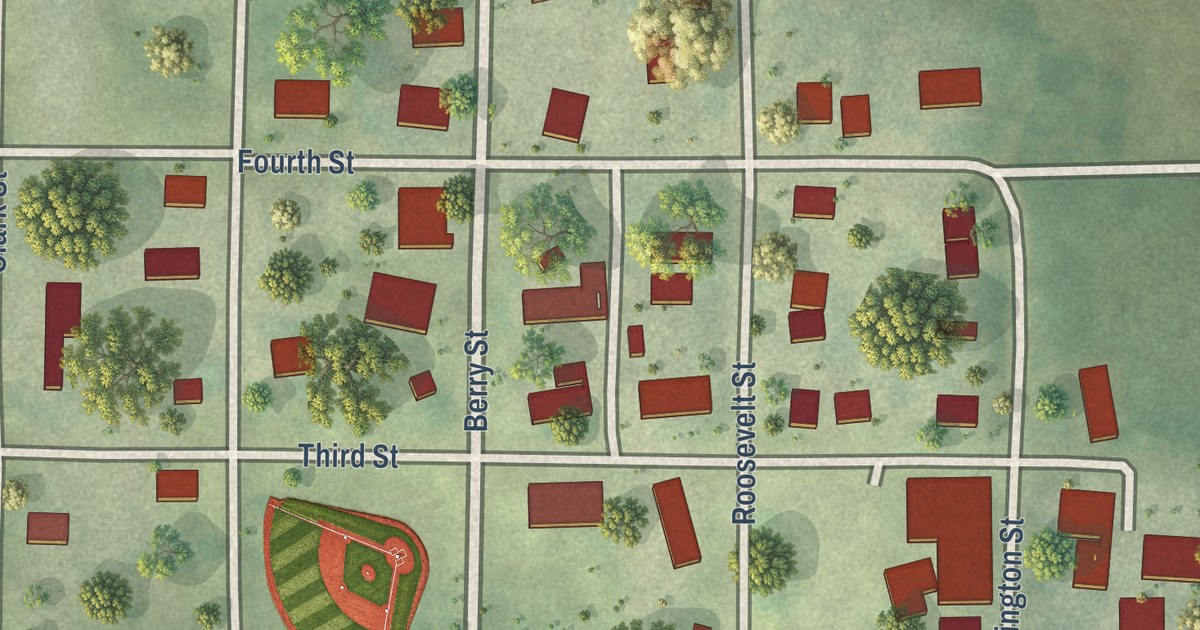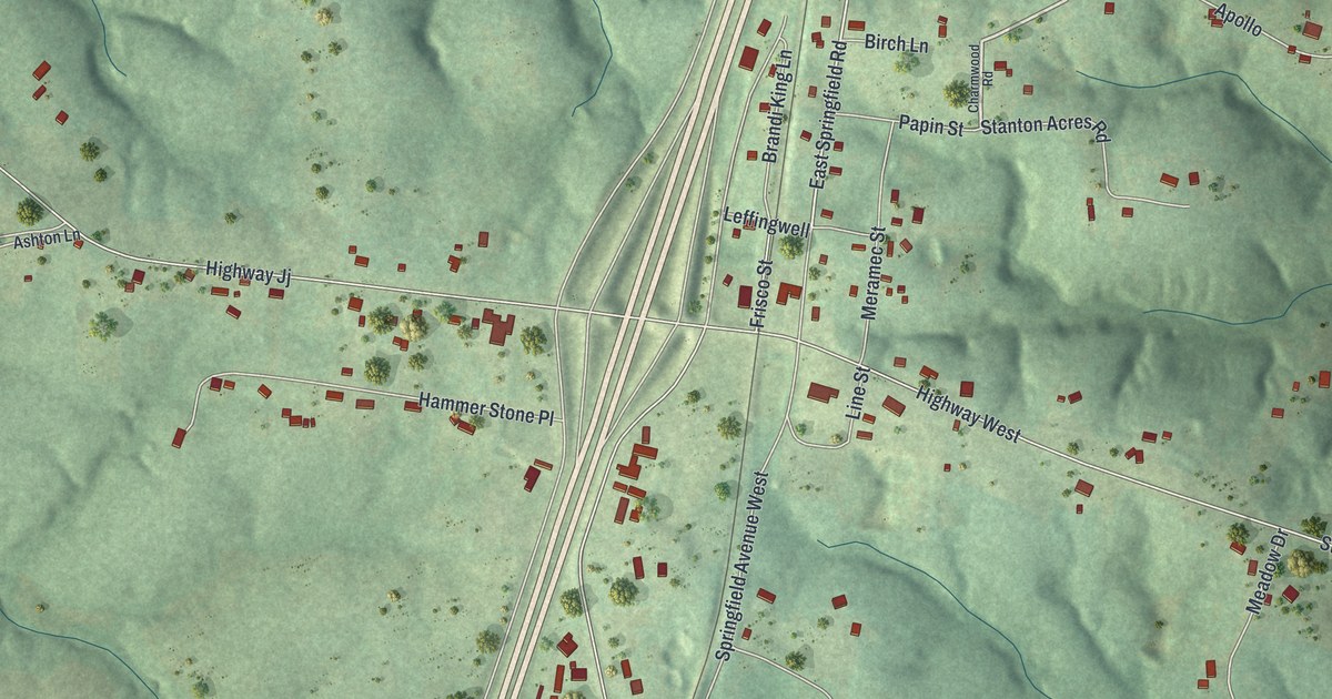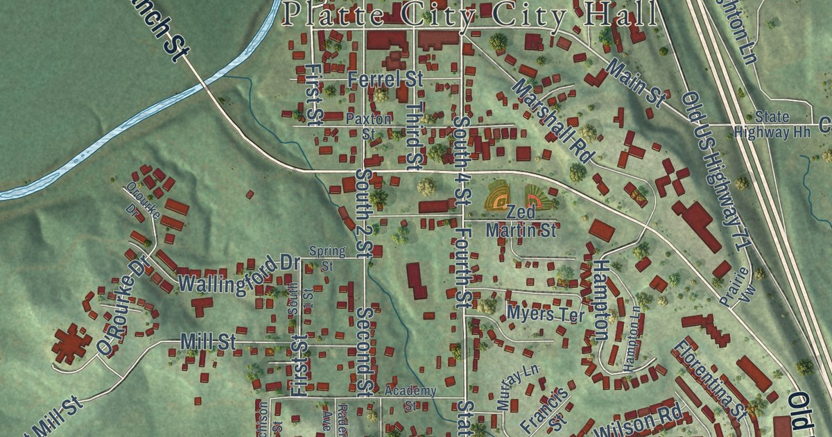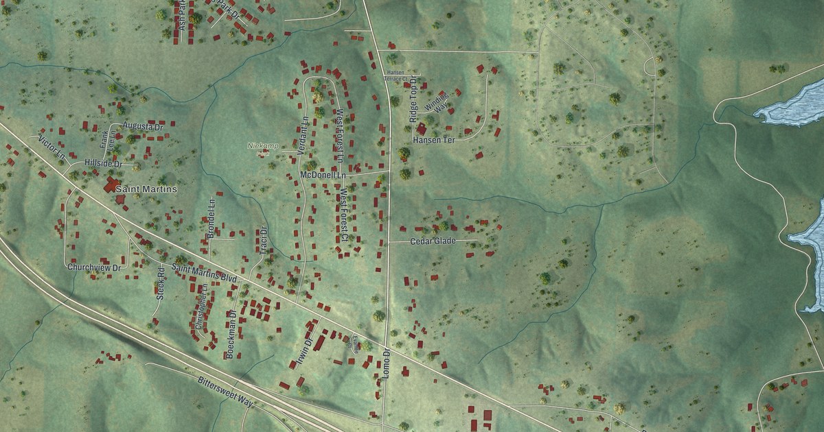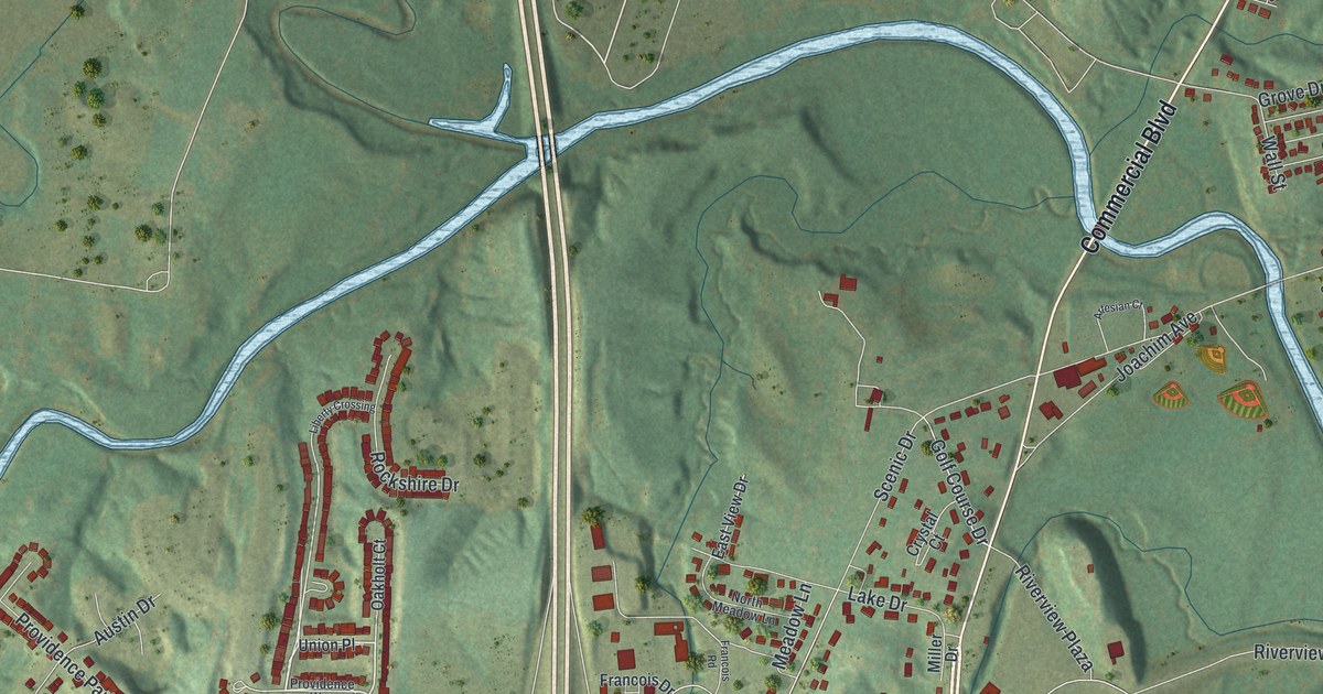
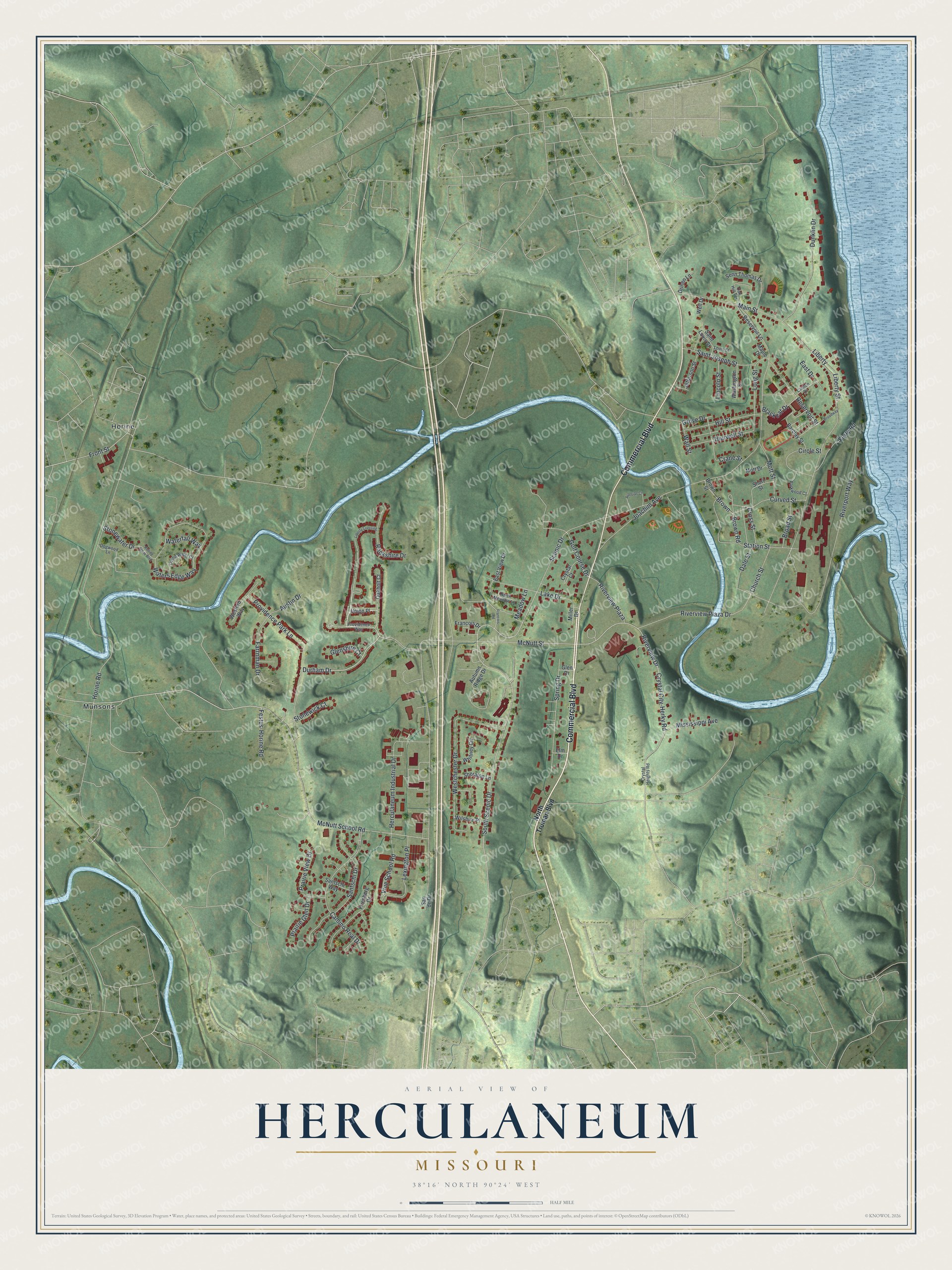
This beautifully detailed map of Herculaneum, Missouri was created in 2026 using aerial imagery combined with modern topographical, census, street and landmark data. It’s a one-of-a-kind view of Herculaneum that combines accurate data with a vintage aesthetic. The map shows every building in its true location, many of the roads carry their names, and the shaded topographic relief shows the shape of the land.
Explore an aerial view of Herculaneum, Missouri
On the map you’ll find Horine and Munsons, along with Commercial Boulevard, Durham Drive, Festus-Horine Road, Front Street, McNutt School Road, McNutt Street, Scenic Drive, Joachim Avenue, Main Street, South Scenic Drive, and more. If you look closely you can even find your house accurately drawn in its correct location. Zoom in on the preview to look for yours.
Did you know this piece of Herculaneum, Missouri history?
From the State Historical Society of Missouri: "The first county seat of Jefferson County, located on the Mississippi River in Joachim Township. Laid out in 1808 by Moses Austin and Samuel Hammond."
Take a closer look at the Herculaneum map
Street and place names on the Herculaneum, Missouri map
These names are printed on the map of Herculaneum, Missouri.
Places: Horine and Munsons.
Streets and roads: Commercial Boulevard, Durham Drive, Festus-Horine Road, Front Street, McNutt School Road, McNutt Street, Scenic Drive, Joachim Avenue, Main Street, South Scenic Drive, Riverview Drive, Riverport Way.
More street names, A to Z
Artesian Court, Austin Drive, Autumn Ridge Drive, Barclay Street, Blackcat Drive, Broad Street, Broadway, Brown, Brown Road, Brown Street, Camino Real Drive, Church Street, Circle Street, Clinton Drive, Crane Street, Cross Street, Crystal City-Herky Road, Crystal Court, Crystal Heights Road, Curved Street, Dale Street, Dogwood Lane, Drinen Lane, Dunklin Drive, East Drive, East View Drive, Elm Drive, Farrnman Drive, Ferry Road, Francois Drive, Francois Road, Friedberg Drive, Glen Drive, Glenshire Court, Golf Course Drive, Grove Drive, Herculaneum Industrial Drive, Hill Street, Horine Road, Jefferson Street, Lake Drive, Lexington Place, Liberty, Liberty Crossing, Liberty Street, Lincoln Street, Living Water Court, Long Street, Louis Street, Maple Drive, Meadow Lane, Miller Drive, Mississippi Avenue, Mott Drive, Mott Street, North Meadow Lane, North Truman Boulevard, Oak Hill Terrace, Oakholt Court, Parkwood Court, Prairie Glen Drive, Prairie View Drive, Providence Park Lane, Providence Way, Reservoir Lane, Reservoir Street, Riverview Plaza, Riverview Plaza Drive, Rockshire Drive, Rolling Stone Boulevard, Saint Joseph Street, Saint Louis Street, San de Drive, Santschi Drive, Santschi Way, Senn Thomas Drive, Sheraton Lane, Short Street, Spring Drive, Station Street, Stonewater Drive, Stonewick Court, Thurwell Street, Union Place, Vine School Road, Wall Street, Washington Street, Waterfall Way, Waters Edge Way, Well Drive, Wesford Way, Westchester Drive, Whitney Circle, Wilshire Place.
See the Herculaneum, Missouri map on a wall
The Herculaneum map as an 18 x 24 inch print in a black frame.

This beautifully detailed map of Herculaneum makes an attractive addition to your office, library, or den, and it can even be used to teach children the geography and history of the area. It also makes a great gift for anyone who grew up in Herculaneum or moved away. When you’re done exploring, click here to get your copy of the Herculaneum map.