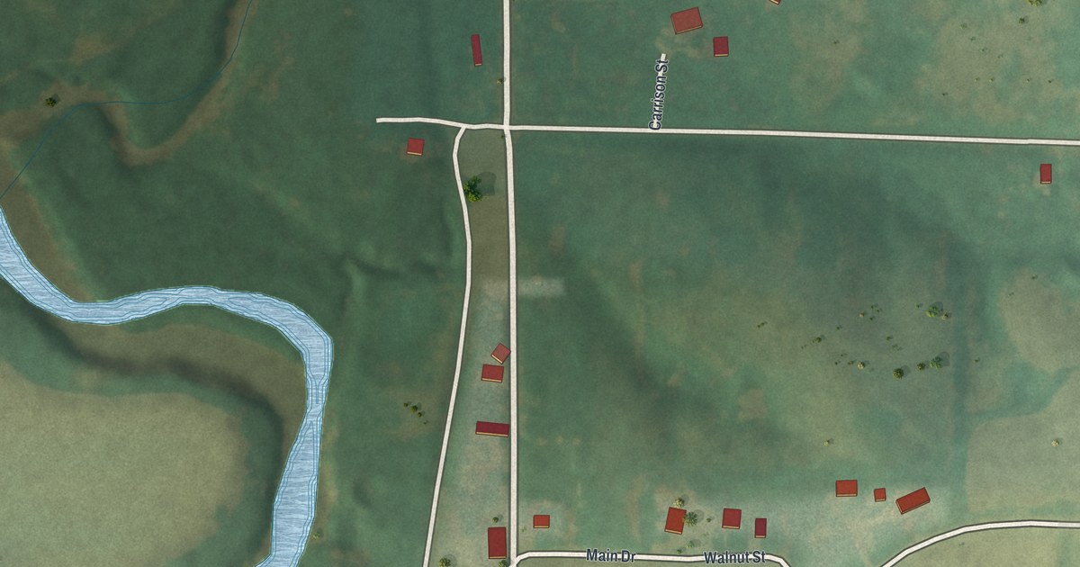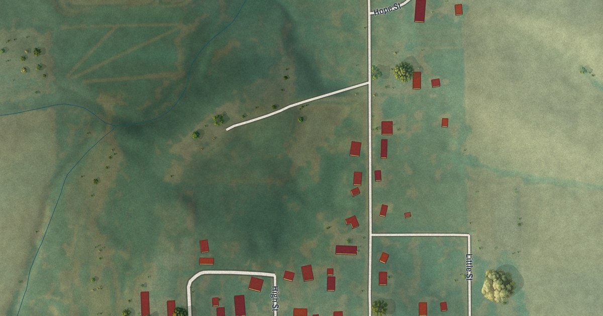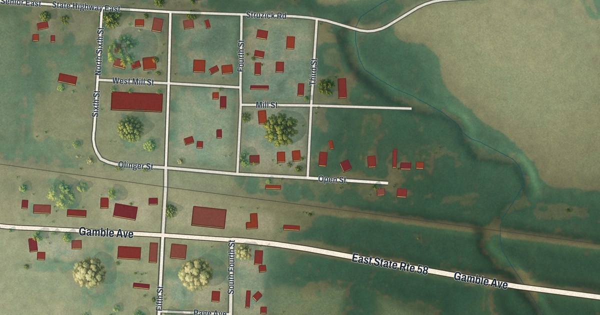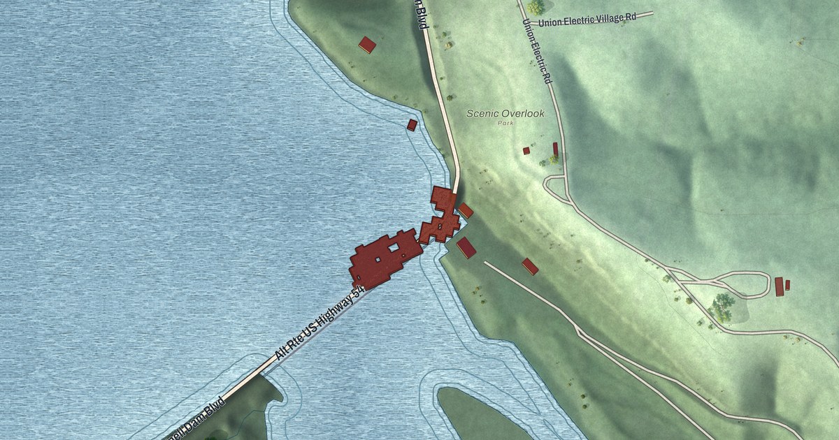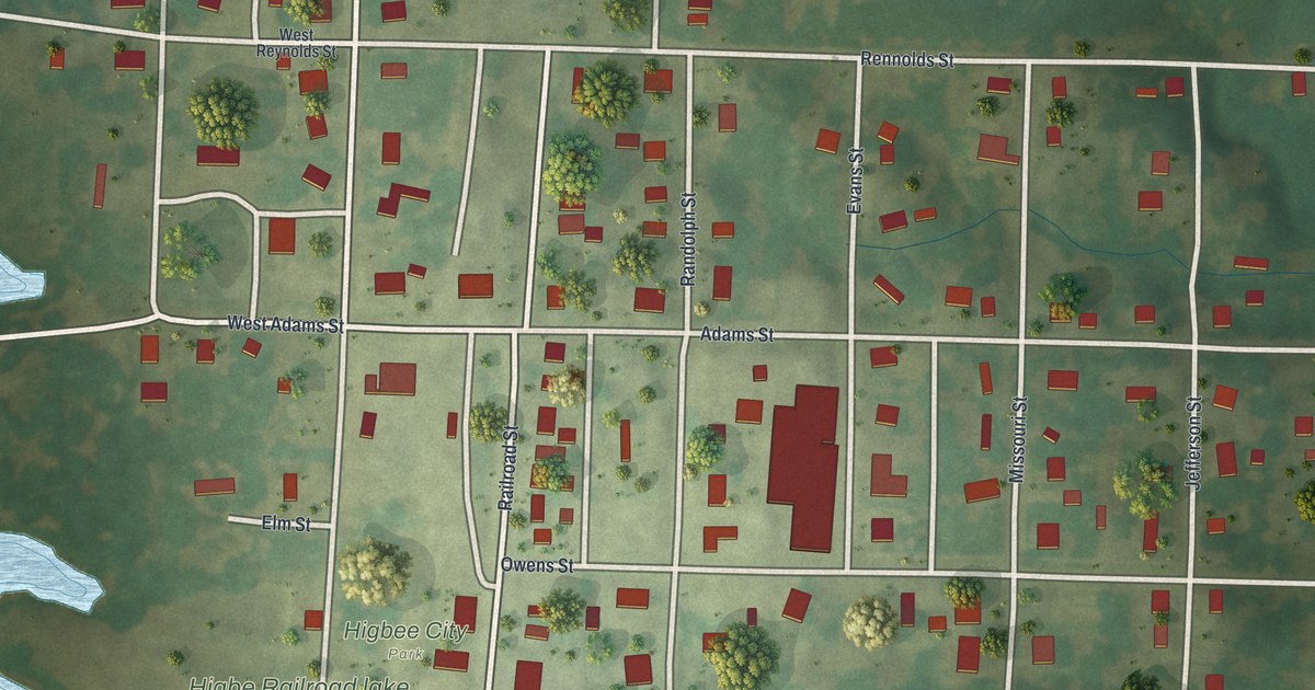
If you grew up in Higbee or still have family on its streets, this map shows the streets you know. It's a modern aerial view of Higbee in Randolph County, Missouri, made from modern data with a vintage artistic feel. You'll see the town's street grid, a rail line cutting across it, and a wide blue lake to the west. Each building sits on the map as a small red shape, with green fields and trees all around.
Owens Street, Burton Street and Higbee City Park
On this map you'll find Owens Street, Adams Street, Burton Street, Railroad Street, Alton Street, Division Street, Grand Avenue, Sedalia Street, Randolph Street, Missouri Street, Eastwood Street, Denham Street, Jones Street, Higbee City Park, and more. Each red shape is a building, so zoom in on the preview and look for yours.
How Higbee Grew Around Its Depot
Higbee started with the railroad. The History of Randolph County, Missouri, printed in 1920, tells how it began. A depot called Higbee was set up on land that then belonged to Edward Owens. Soon a village was laid out on land owned by Owens and Joseph Burton. A post office opened, and the town began to grow. It grew faster once the Chicago and Alton Railroad was built through town. That line crossed the Missouri, Kansas and Texas road near the center of Higbee. Today Owens Street and Burton Street carry those two names. Railroad Street and Alton Street are printed on the map too, and a rail line crosses the sheet just south of Higbee City Park.
Coal Mines on All Sides of Higbee
Coal is part of Higbee's story as well. The same book says coal mines were opened and worked at Higbee and on all sides of it. It calls the coal soft and bituminous, and says it was unexcelled for steam purposes. It also says an arm of the open prairie reached to within a mile of Higbee. There the land turned to woods. On the map, the town sits in green country, with fields and patches of trees spread out past Eastwood Street and Jones Street.
Keep Higbee and Owens Street Close
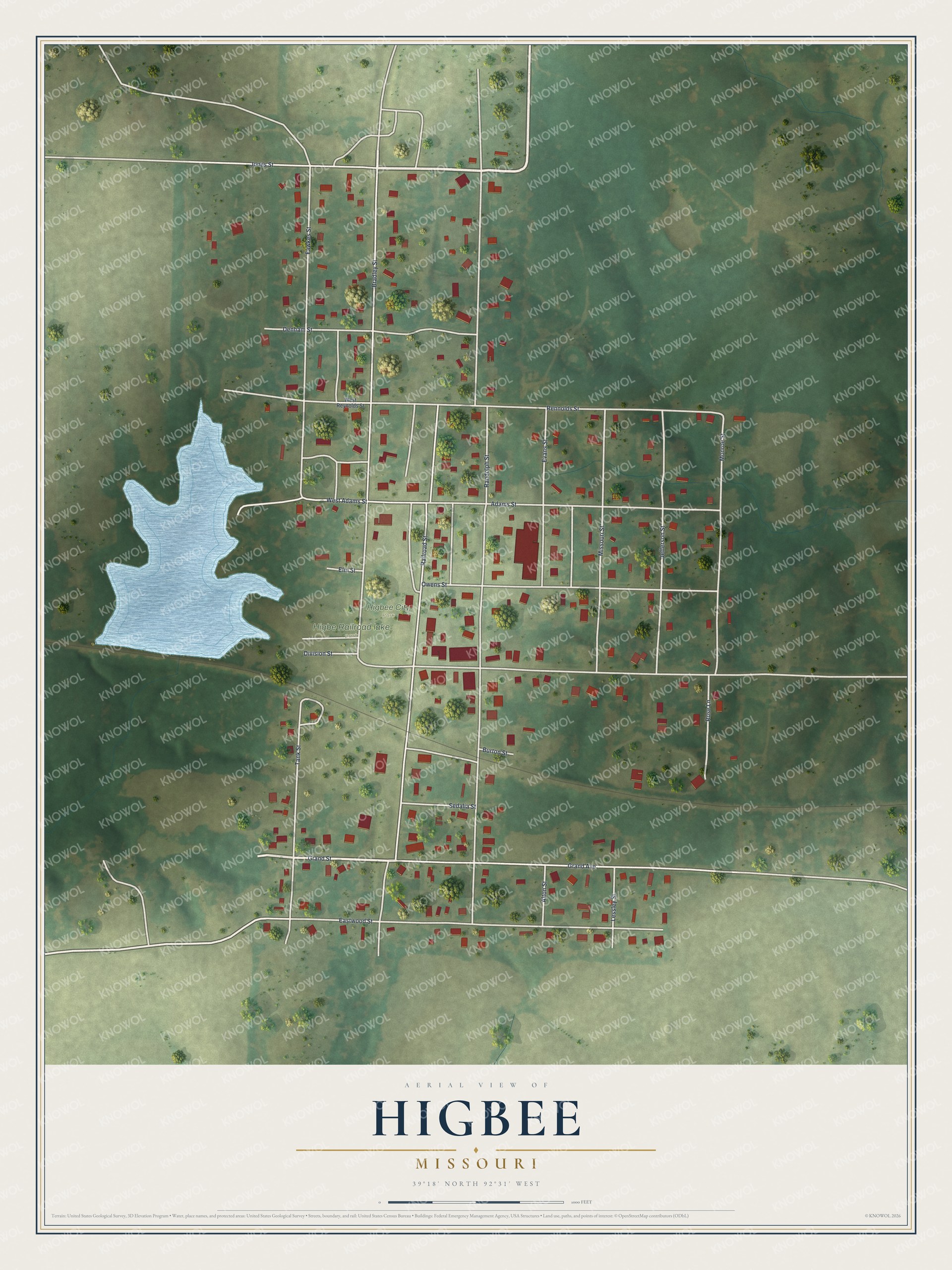
Created by KNOWOL in 2026, the print shows Higbee from above in soft greens, with red buildings, pale streets and a blue lake on the left side. The title panel at the bottom reads AERIAL VIEW OF HIGBEE, MISSOURI, with the coordinates 39°18' NORTH 92°31' WEST.
It fits well in a kitchen, a front hall or a den. It's a thoughtful gift for a family that's moved away from Randolph County, or for anyone who knows Higbee City Park and the blocks around it. Open the preview and find your street. See sizes and frames for the Higbee map.