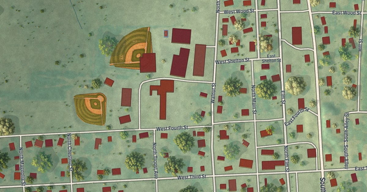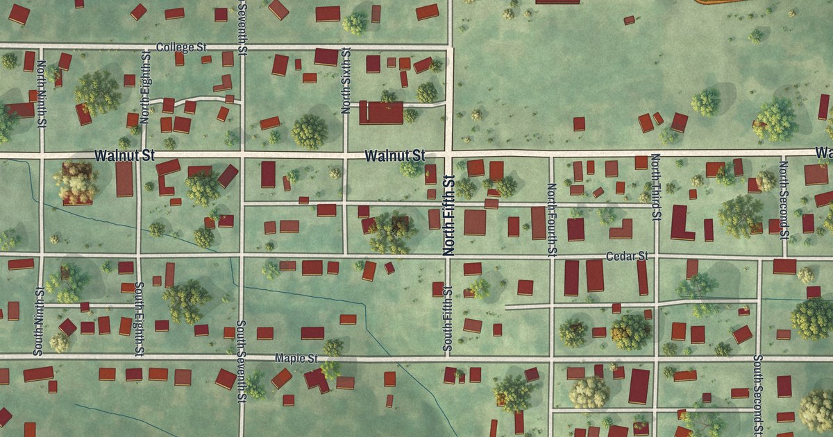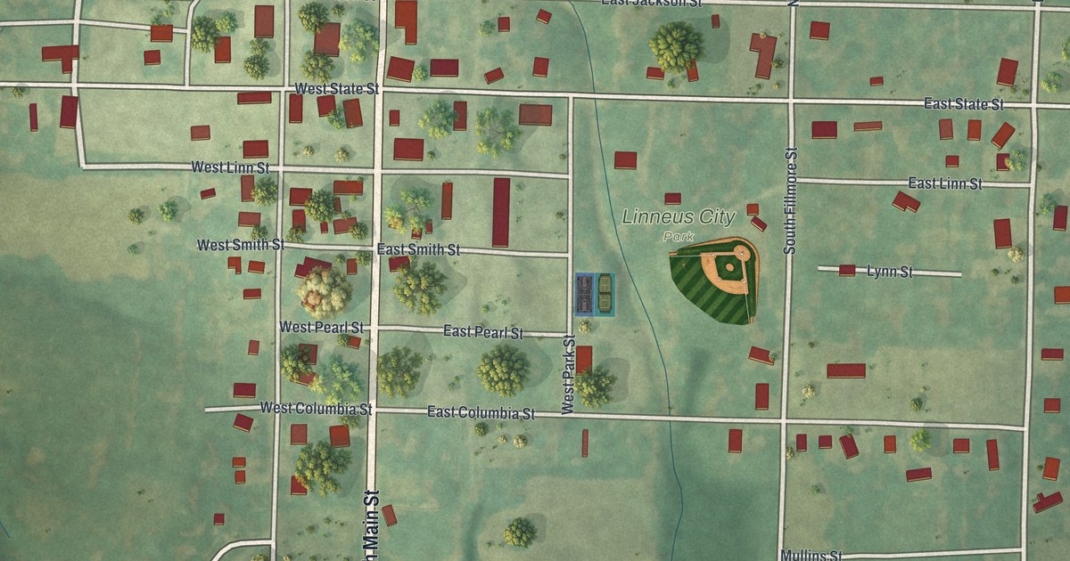
If you grew up in Linneus, went to school here, or still have family a few blocks from the courthouse, this map has your town on it. It's a modern aerial view of Linneus in Linn County, Missouri, drawn from modern data with a vintage feel. About 240 buildings are marked in red along a tidy grid of streets. Green hills and farm fields fill the rest of the sheet, and a ball diamond sits at Linneus City Park near the middle.
Highway 5, Main Street and Linneus City Park
On this map you'll find Highway 5, North Main Street, South Main Street, Linneus City Park, Mullins Street, Memorial Drive, Elmwood Cemetery, Linneus Cemetery, North High Street, South High Street, East Jackson Street, West Linn Street, and more. Each red shape is a building, so zoom in on the preview and look for yours.
The land gift that made Linneus the county seat
According to a 1912 history of Linn County, Linneus was built on land given by Jack Holland and his wife. The gift came with an understanding: Linneus would be the permanent county seat.
Linn County Courthouse on High Street
Linn County Courthouse at 108 High Street is on the National Register of Historic Places. North High Street and South High Street are both named on this map. Look for those street labels when you zoom in.
A map for anyone who grew up near Linneus City Park
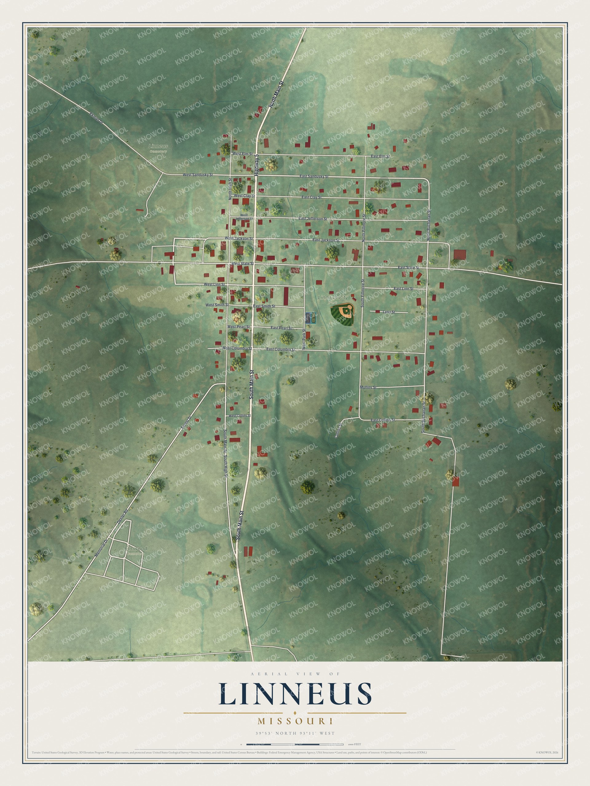
Created by KNOWOL in 2026, this Linneus map shows the town grid in the middle, with red buildings on pale green farmland and shaded hills all around it. Faint creek lines wind through the fields on the lower half of the sheet. The title panel reads "Aerial View of Linneus, Missouri" with the coordinates 39°53' North, 93°11' West.
It suits a kitchen, a den or a law office where someone stops to look. It's a good gift for someone who grew up near Linneus City Park, or who left Linn County and still calls it home. Open the preview, zoom in and find the street you know. See sizes and frames for the Linneus map.