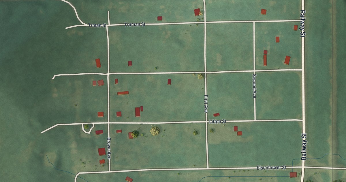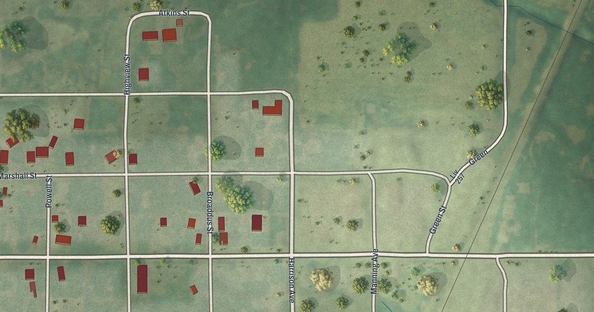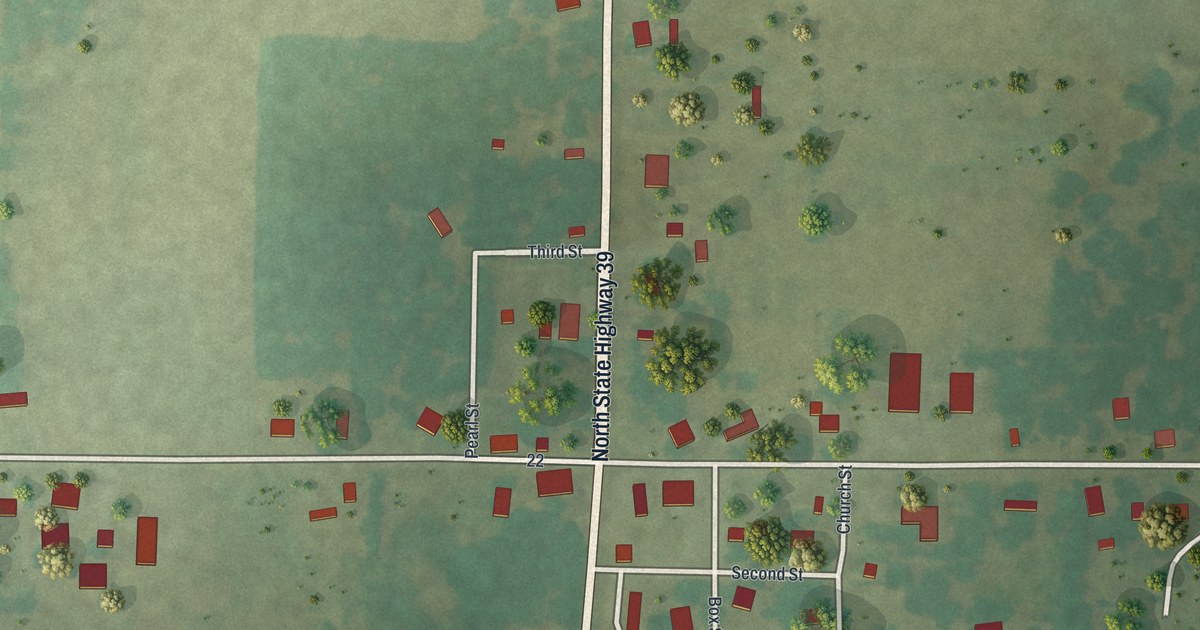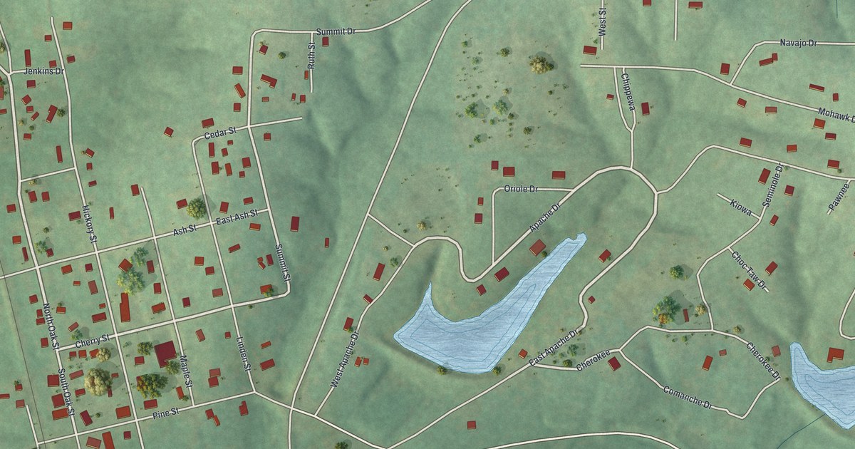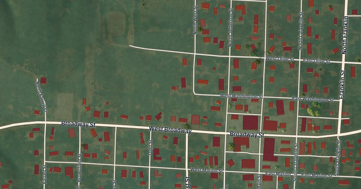
If you grew up on Broadway Street or Franklin Street, this map puts your hometown on the wall. It's a modern aerial view of Madison in Monroe County, Missouri, made from modern data and given a vintage look. Broadway Street runs through the middle of town, and hundreds of small red shapes mark the buildings on each block. A thin rail line crosses the south side, and green fields and wooded hollows fill the edges.
Broadway, Franklin and the Streets of Madison
On this map you'll find Broadway Street, East Broadway, West Broadway, Main Street, Franklin Street, North Jefferson Street, South Lafayette Street, West Marion Street, East Olive Street, West Cooper Street, Chowning Street, Holman Street, McAdoo Street, Burlington Street, and more. Each red shape is a building, so zoom in on the preview and look for yours.
The Masonic Lodge at Madison in 1884
The 1884 history of Monroe County tells the stories of local families, one short sketch at a time. One sketch says the Sanders family belonged to the Missionary Baptist Church, and that Mr. Sanders was a member of the Masonic lodge at Madison.
The Rail Line and Fields Around Madison
Past the last houses, the land opens up. A thin rail line cuts across the south side of town at a slant. Wide, pale farm fields spread out beyond it. To the west, the ground folds into green, shaded hollows. Near the south edge of the blocks, a ball diamond sits beside a large group of red buildings.
Keep Broadway Street and Madison Close
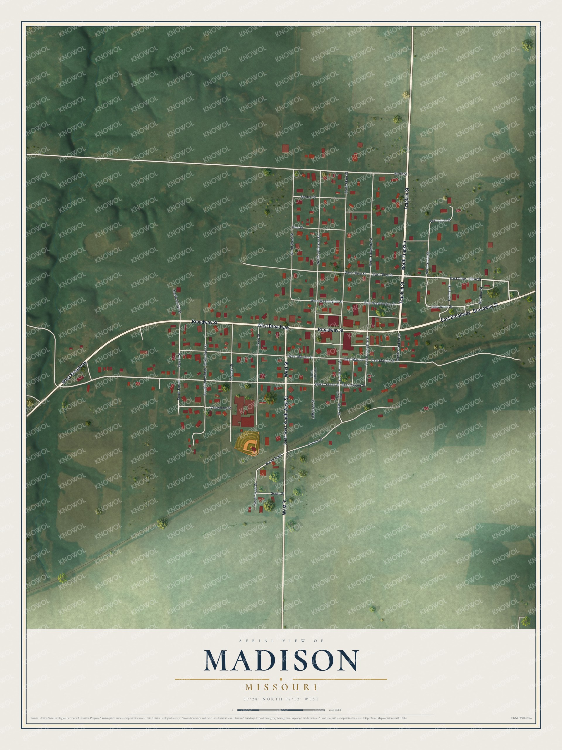
Created by KNOWOL in 2026, this print shows Madison from above in soft greens, with shaded hills, pale fields and red buildings. The title panel reads "Aerial View of Madison, Missouri" with the coordinates 39°28' North 92°13' West.
It fits a living room, a hallway or a home office. It's a good gift for anyone who grew up near Broadway Street and moved away, or for a family with roots in Monroe County. Open the preview and zoom in to find your block. See sizes and frames for the Madison map.