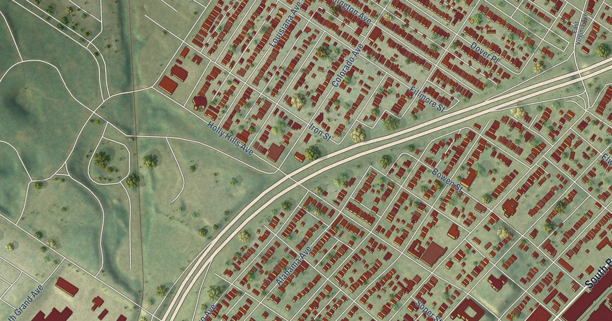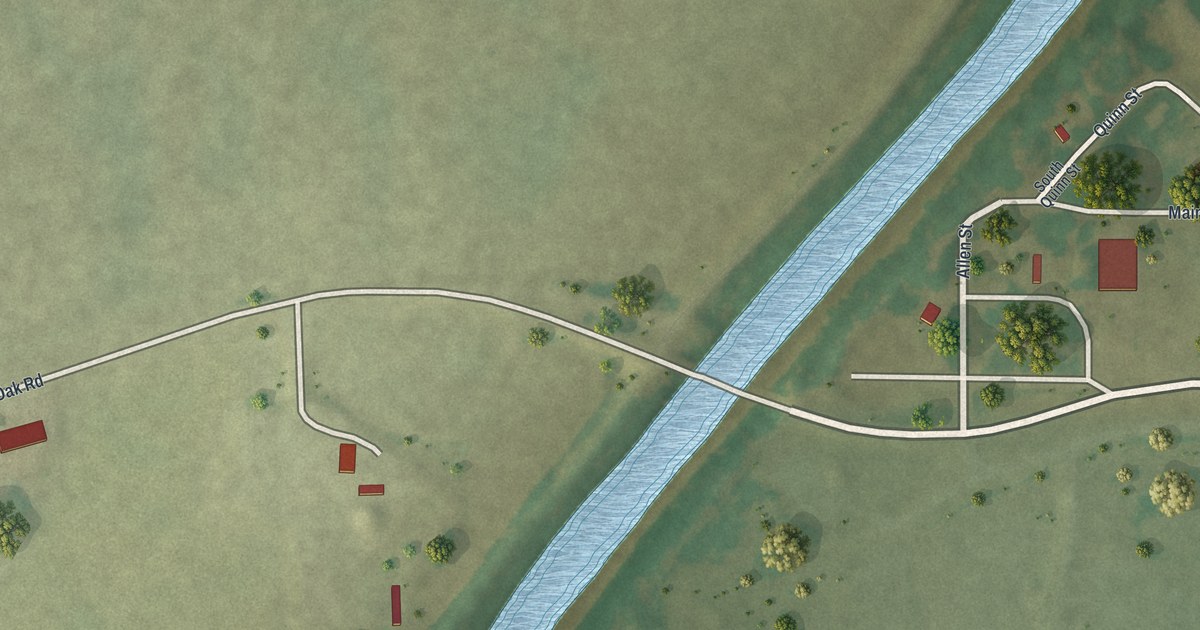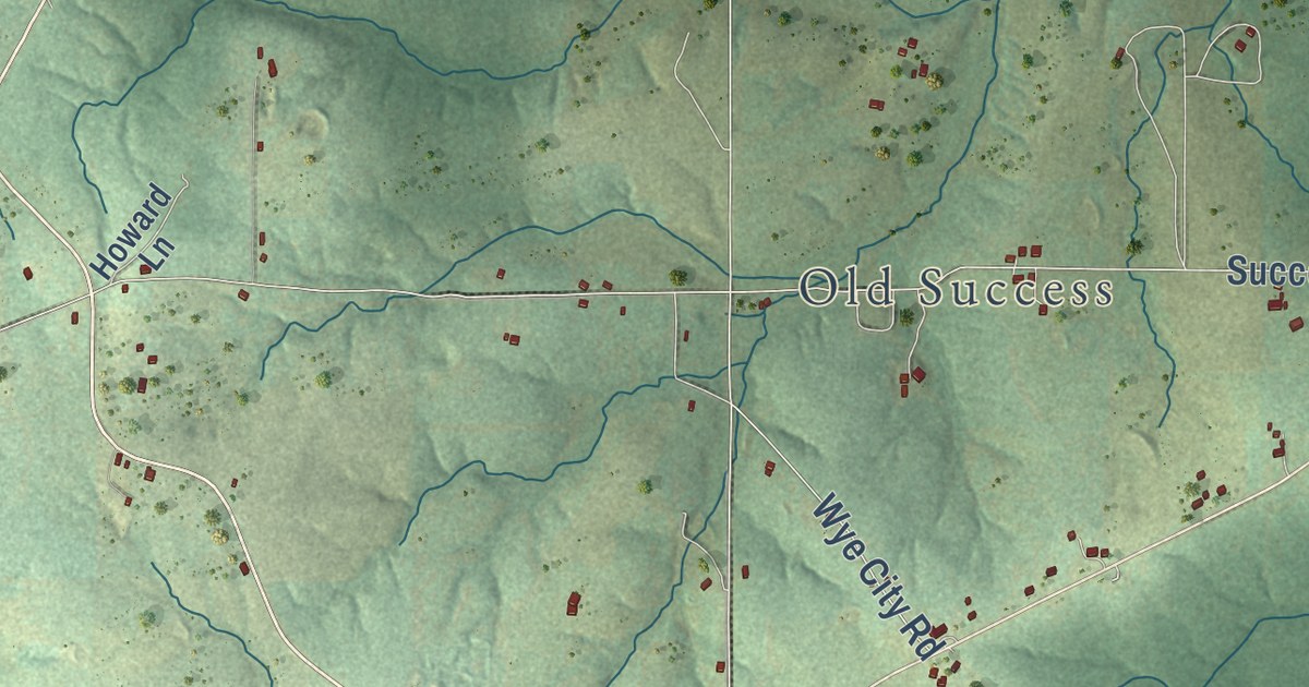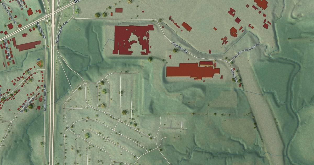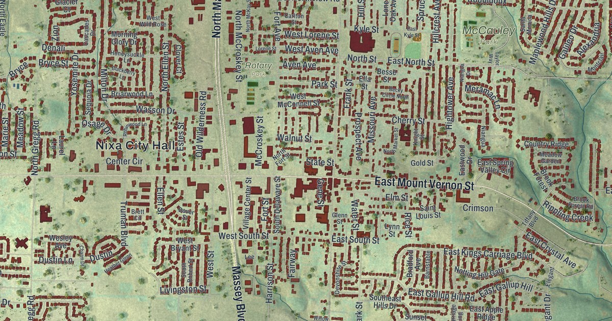
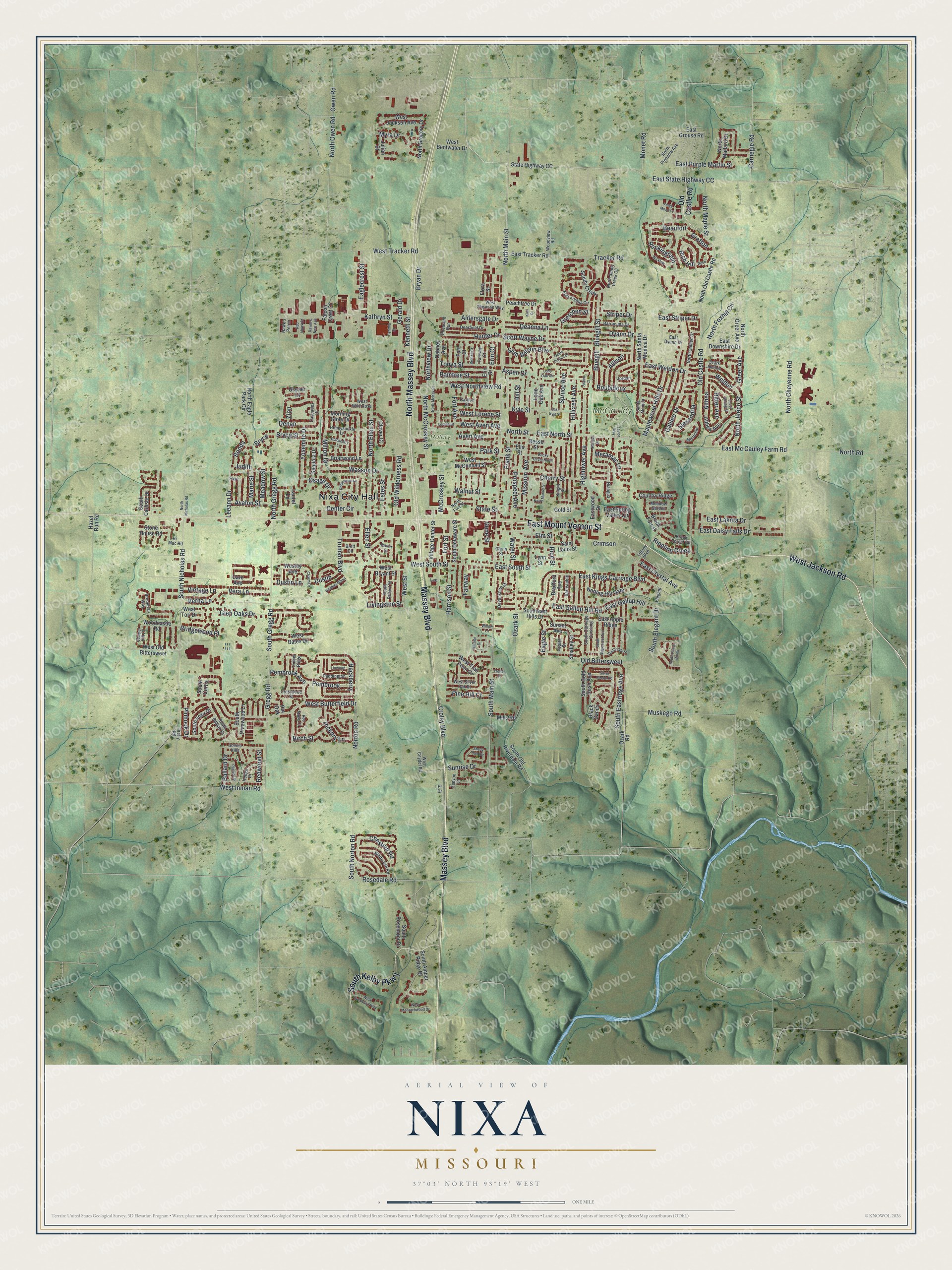
This beautifully detailed map of Nixa, Missouri was created in 2026 using aerial imagery combined with modern topographical, census, street and landmark data. It’s a one-of-a-kind view of Nixa that combines accurate data with a vintage aesthetic. The map shows every building in its true location, many of the roads carry their names, and the shaded topographic relief shows the shape of the land.
Explore an aerial view of Nixa, Missouri
On the map you’ll find Nixa City Hall, McCauley Park, Rotary Park, Bonda, and Weldon, along with Massey Boulevard, North Massey Boulevard, East Mount Vernon Street, South Kelby Parkway, West Jackson Road, East Weldon Drive, Greer Avenue, and more. If you look closely you can even find your house accurately drawn in its correct location. Zoom in on the preview to look for yours.
Did you know this piece of Nixa, Missouri history?
From the City of Nixa: "Citizens decided to come up with a name for their growing village and its post office. They named it Nixa after the elderly blacksmith in the community, Nicholas A. Inman."
Take a closer look at the Nixa map
Street and place names on the Nixa, Missouri map
These names are printed on the map of Nixa, Missouri.
Places: Nixa City Hall, McCauley Park and Rotary Park.
Streets and roads: Massey Boulevard, North Massey Boulevard, East Mount Vernon Street, South Kelby Parkway, West Jackson Road, East Weldon Drive, Bonda, Greer Avenue, Weldon, Eagle Street, North Main Street, Spruce Avenue.
More street names, A to Z
Aldersgate Drive, Alexandria, Allison, Althea, Althea Avenue, Aspen Court, Aspen Drive, Avalon Street, Aven Avenue, Ballard Drive, Barnstable, Barracuda Drive, Beaufort, Becky Circle North, Besse Street, Birch Street, Blackberry Lane, Black Sands, Bluegill, Bluegill Street, Bradford Avenue, Brett Circle, Briarwood Lane, Bridgewood Place, Brooke Court, Brook Forest, Brook Forest Road, Brooktrail Way, Bryan Drive, Bryce, Bryce Street, Canyon Lane, Care Avenue, Carlton Street, Carnegie Road, Cascades Drive, Center Circle, Chapel Hill Court, Charm Drive, Cherry Street, Chestnut Road, Clover Court, Country Ridge, Crestwood Street, Crimson, Croley Boulevard, Cynthia Drive, Dabney Avenue, Deanna Lane, Deerfield Drive, Denali, Devonshire Street, Dover Street, Dustin, Dustin Lane, Dyann Drive, Eaglecrest Street, East Apple Ridge, East Crystal Avenue, East Daisy Falls Drive, East Downshire Drive, East Dyann Drive, East Gallup Hill, East Gallup Hill Road, East Grouse Road, East Katella Circle, East Kings Carriage Boulevard, East Kyle Street, East Lakota Drive, East Mc Cauley Farm Road, East North Street, East Purple Martin Street, East South Street, East Spring Valley Circle, East State Highway CC, East Striper Drive, East Tracker Road, Eastwood Drive, Elegant, Ella Street, Ellen Street, Elm Street, Erin Court, Erin Street, Estes Street, Fairway, Fairway Court, Falcon Crest Court, Faye, Firefly Road, Flora Street, Fort Avenue, Fort Court, Fort Street, Frank Street, Galileo Drive, Gene Street, Gerald Drive, Glacier Court, Glenn Street, Glen Oaks Drive, Gold Street, Grafton, Gregg Road, Gretchen Street, Hackberry, Harrison Street, Hawk's Perch, Hazel Run Road, Heather Glenn, Hedge Drive, Hi - Mac Road, Hickory Lane, Hightower Avenue, Hillcrest Avenue, Hillside Drive, Hill Street, Honeysuckle Lane, Hunter Drive, Jordan, Judith, Julian Street, Kathryn Street, Kenneth Street, Kings Mead Cr, Kiwi Court, Knight Street, Kyle Street, Laurel Lane, Lee, Leeann Drive, Linwood, Livingston Street, Lone Oak Avenue, Lone Oak Circle, Lorene Street, Lynn Street, Maplewood Hills Drive, Marie Street, McCroskey Street, Meadow Garden, Meadow Street, Meramac Lane, Mills Road, Milton Drive, Missouri Avenue, Monet Road, Montclair, Morning Glory Drive, Muskego Road, Myra Drive, Niangua, Niangua Drive, North Cheyenne Road, North Eagle Park Circle, North Ellen Street, North Fort Street, North Foxhill Circle, North Galileo Drive, North Greer Avenue, North Gregg Road, North Gregory Drive, North Jerico Street, North Mallard Drive, North Maple Street, North Market Street, North McCroskey Street, North McKay Street, North Nicholas Road, North Old Castle Road, North Owen Road, North Pinnacle Avenue, North Road, North Sandy Creek Circle, North Santa Monica Drive, North Street, Northview Drive, Norton Road, Notting Hill Gate, Old Bittersweet, Old Castle Road, Old Wilderness Road, Osage Drive, Owen Road, Ozark Jubilee, Ozark Jubilee Drive, Ozark Road, Ozark Street, Paddington, Park Street, Pasture Drive, Peachtree Drive, Pembrook, Pembrook Avenue, Pheasant Run, Pine Hill Court, Pinhook Drive, Pin Oak, Poplar Street, Pr Drive, Prospect Avenue, Raintree Street, Raven's Nest Avenue, Red Hawk Court, Red Maple Court, Redwood Street, Rice Street, Rich Hill, Rippling Creek, Ritter Avenue, Robinwood Lane, Rockingham, Rosedale Road, Roubidoux, Rush, Saint Louis Street, Sandy Creek, Santa Monica, Scenic Hills, Scott Wayne Drive, Sequoia Drive, Shady Oak Circle, Silver Streak Road, Slim Wilson Boulevard, Smalley Street, South Amber Ridge Drive, South Ballard Drive, South Carlisle Drive, South Carriage Crossing, South Curtis, South Delaware Street, Southeast Hills Drive, South Eastridge Avenue, South Elegant Drive, South Foxx Drive, South Gold Rush Avenue, South Gregg Road, South Main Street, South Nicholas Road, South Norton Road, South Old Riverdale Road, South Peach Brook, South Pinewood Lane, South Ridgecrest Avenue, Southridge Street, South Robert Street, South Rosemoor Drive, Spout Spring Street, State Highway CC, State Street, Stone House Road, Striper Drive, Sunrise Drive, Sunset Avenue, Taylor Way, Tiffany Boulevard, Timber Ridge, Tonya Street, Tracker Road, Trotter Street, Truman Boulevard, Vera Lane, Verna Lane, Village Center Street, Vintage Lane, Walnut Street, Wasson Drive, Water Street, Wesley Avenue, West Aven Avenue, West Bates Drive, West Bentwater Drive, West Bryant Street, West Butterfield Drive, West Citydel Road, West Everwood Way, West Inman Road, West Jackson Avenue, West Lorene Street, West McConnell Street, West Monarchwood Drive, West Northview Road, West Old Bittersweet, West Sherman Way, West Silver Oak Street, West South Street, West Street, West Tori Drive, West Tracker Road, West Trail Point Drive, West Wild Rose, White Ash Road, Wicklow, Willow Lane, Woodcastle Road, Woodview Road, Yosemite Drive, Zion.
See the Nixa, Missouri map on a wall
The Nixa map as an 18 x 24 inch print in a black frame.

This beautifully detailed map of Nixa makes an attractive addition to your office, library, or den, and it can even be used to teach children the geography and history of the area. It also makes a great gift for anyone who grew up in Nixa or moved away. When you’re done exploring, click here to get your copy of the Nixa map.