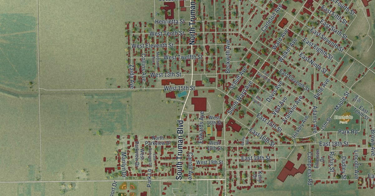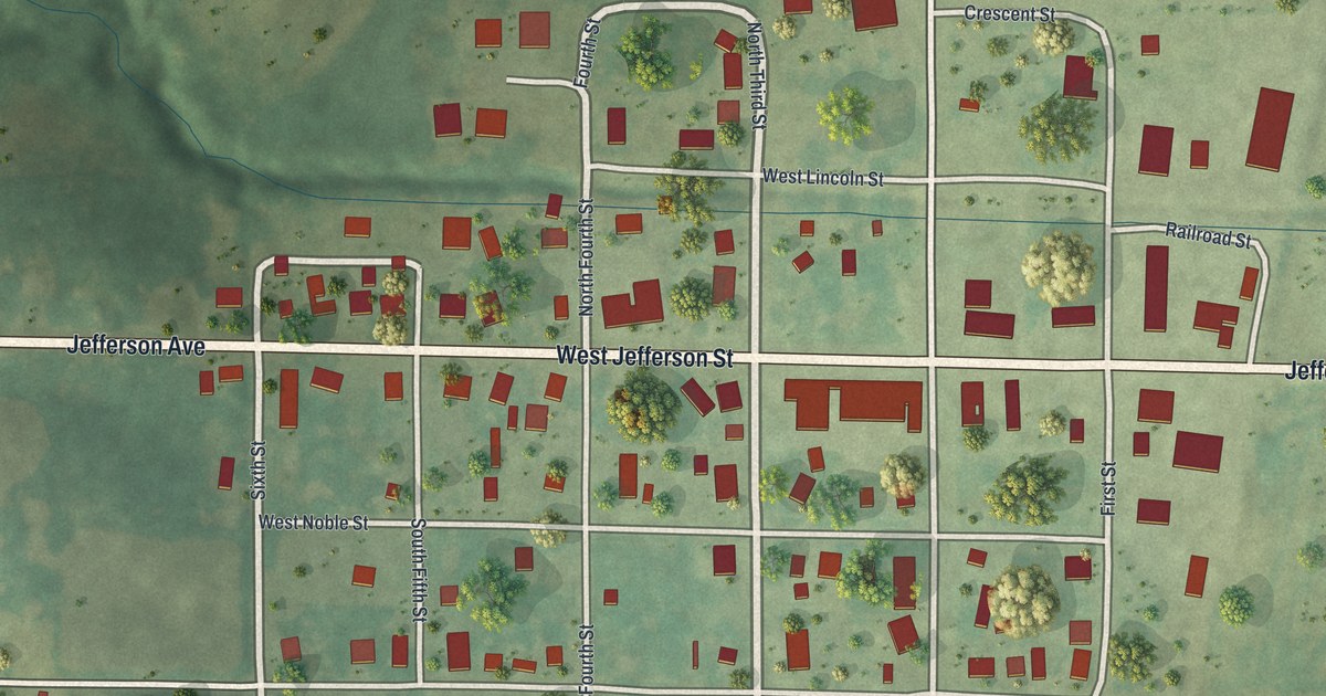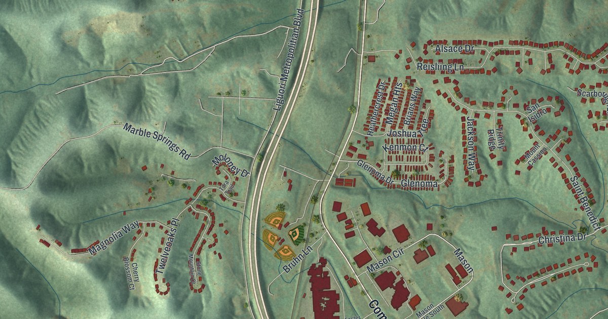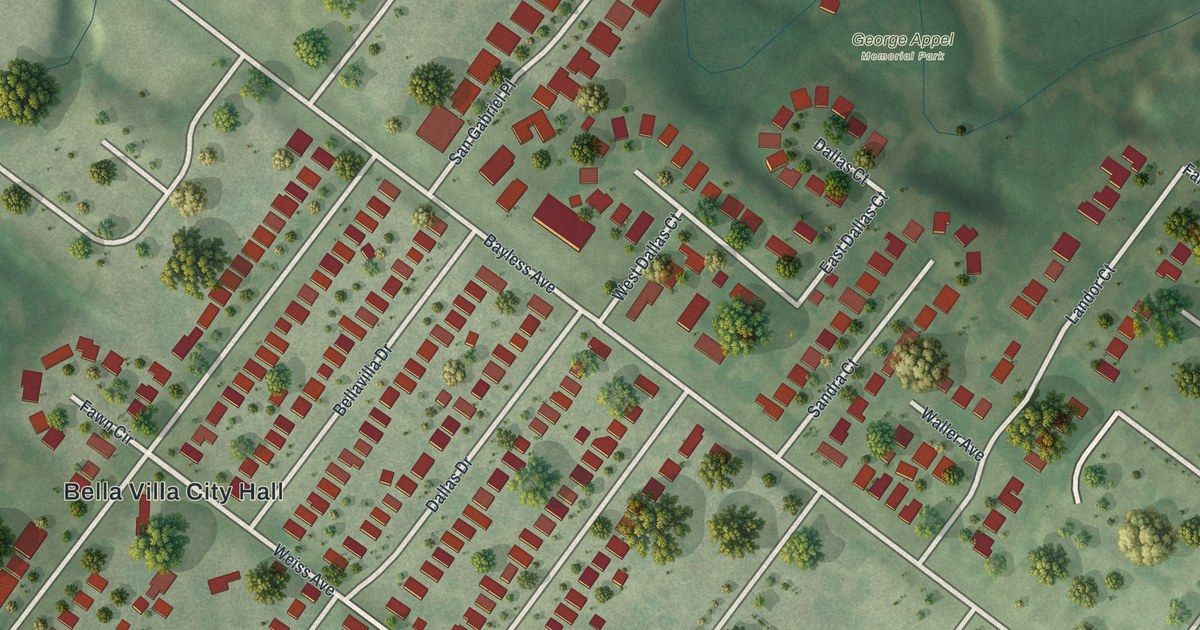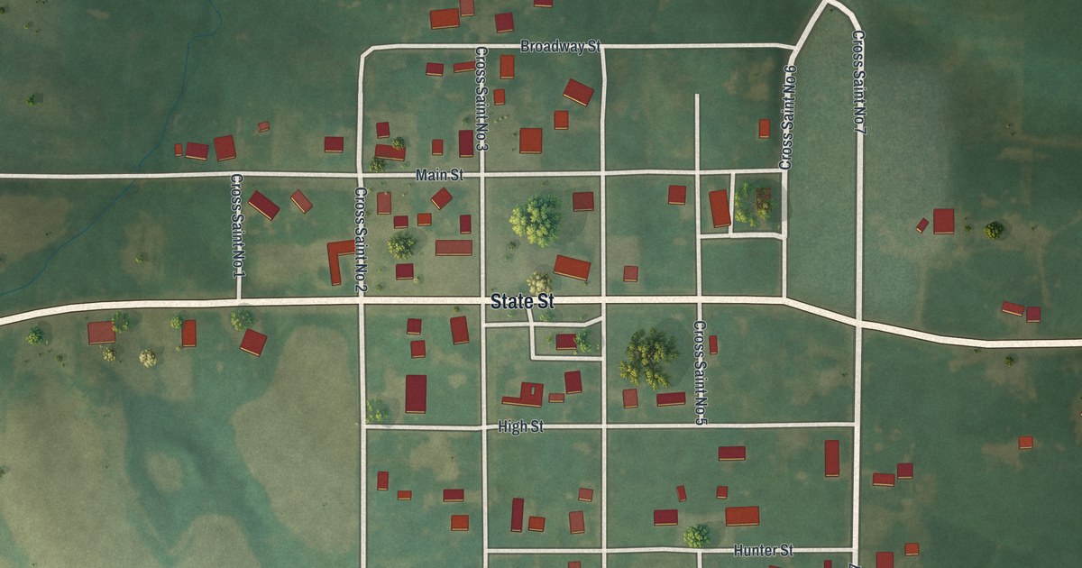
If you grew up in Novelty or still have family near Main Street, this map was made with you in mind. It's a modern aerial view of Novelty in Knox County, Missouri, built from modern data and given a vintage feel. The town sits in the middle of the sheet as a neat grid of streets. State Street runs across the whole map from side to side. All around, you'll see open fields and green creek valleys that branch out like trees.
Main Street and State Street in Novelty
On this map you'll find Main Street, State Street, Broadway Street, High Street, Hunter Street, Smith Street, Cross Saint No 1, Cross Saint No 2, Cross Saint No 4, Cross Saint No 7, and more. Each red shape is a building, so zoom in on the preview and look for yours.
The Novelty Creamery started by forty farmers
Goodspeed's 1887 county history says the Novelty Creamery was started in 1884. It was set up by an association of forty farmers. Look at the wide fields that fill the map around the town grid.
Keep Novelty's Main Street close
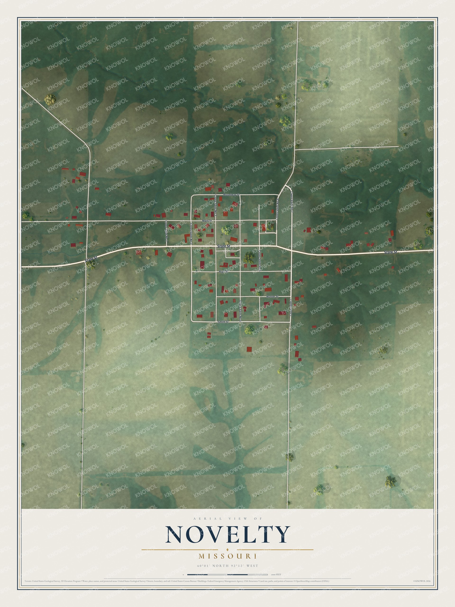
Created by KNOWOL in 2026, this print shows Novelty from above in soft greens, with pale roads, small red buildings and shaded land built from USGS elevation data. The title panel reads "Aerial View of Novelty, Missouri" with the coordinates 40°01' North 92°12' West.
It fits a kitchen, a hallway or a home office. It makes a good gift for someone who grew up on Main Street and moved away, or for a family with farm roots in Knox County. Open the preview and find the block you know best. See sizes and frames for the Novelty map.