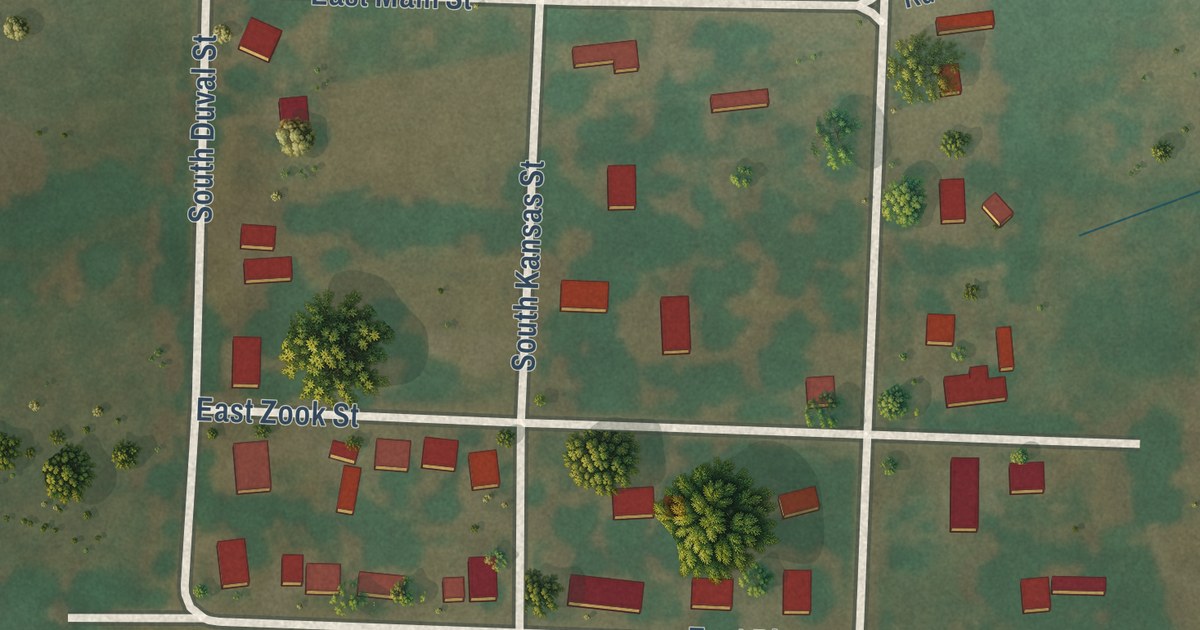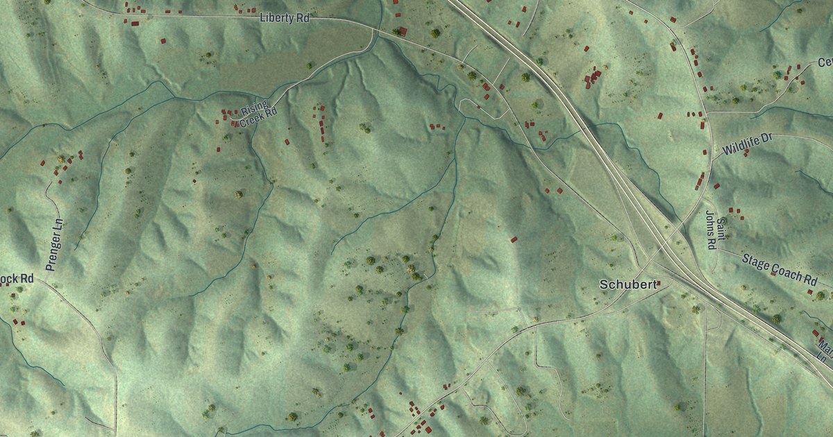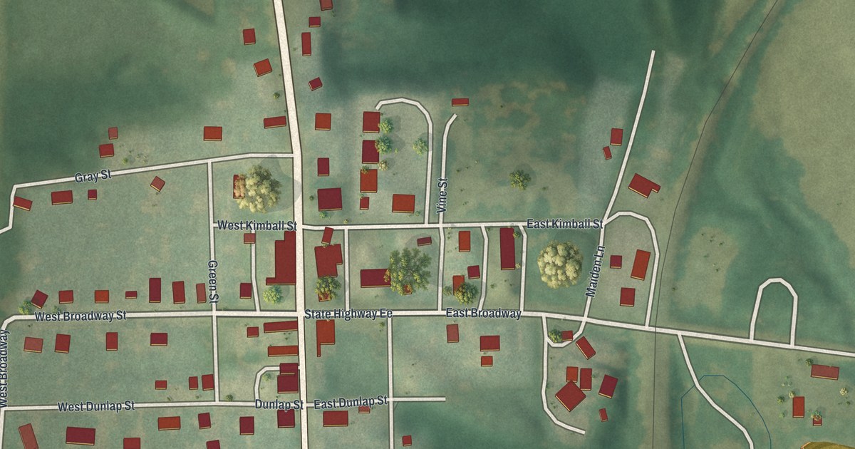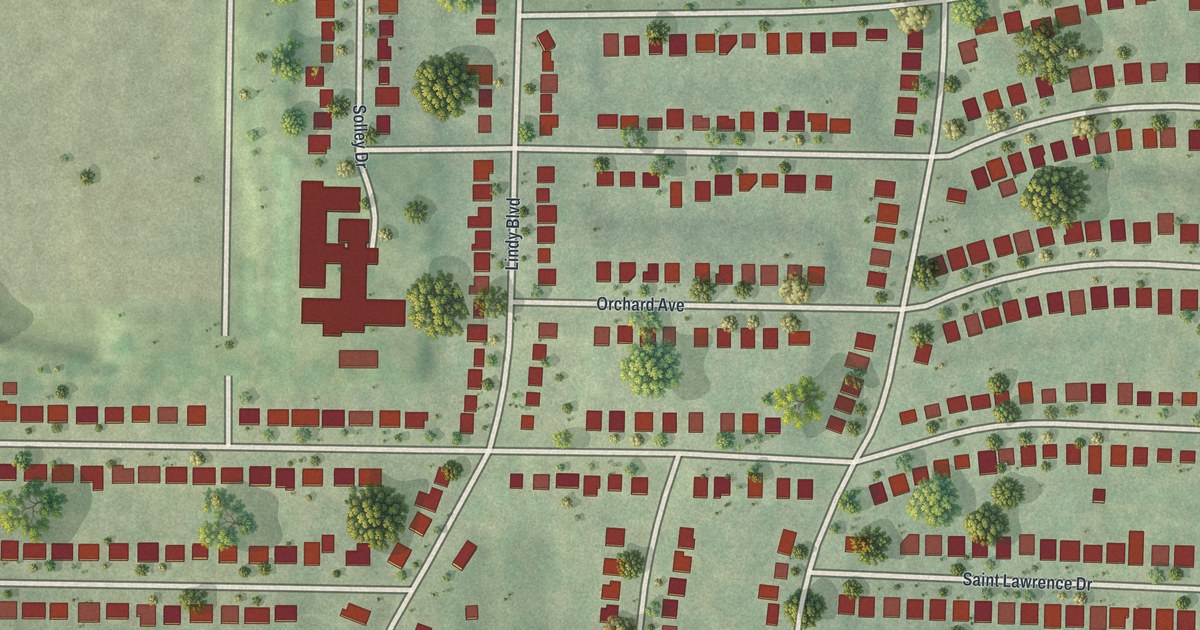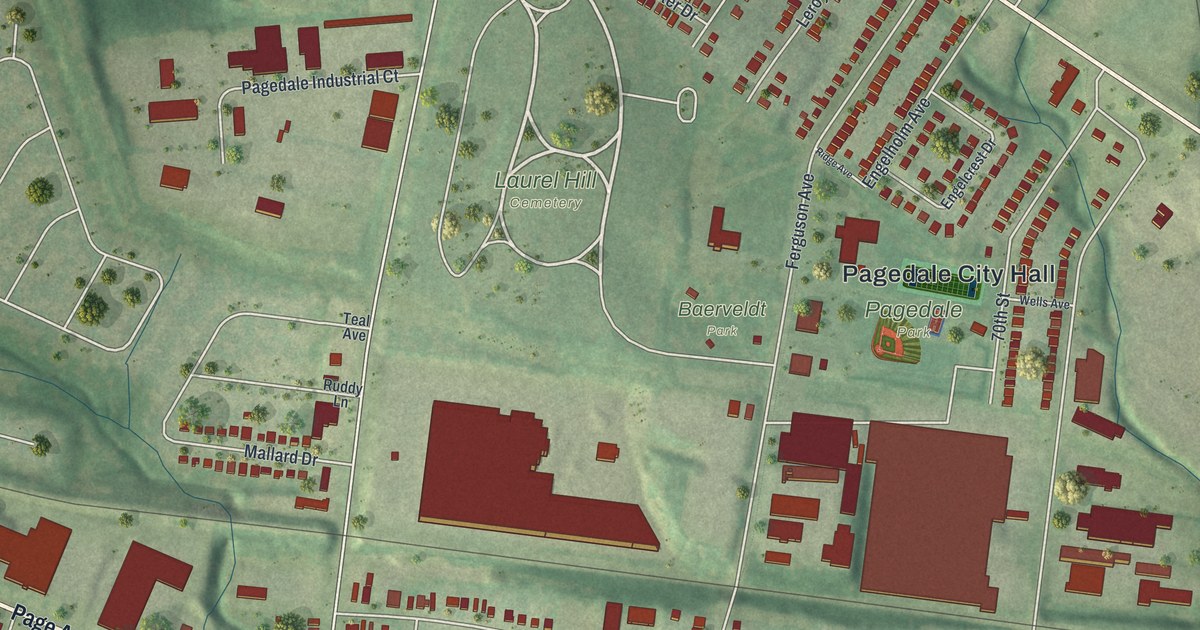
This beautifully detailed map of Pagedale, Missouri was created in 2026 using aerial imagery combined with modern topographical, census, street and landmark data. It’s a one-of-a-kind view of Pagedale that combines accurate data with a vintage aesthetic. The map shows every building in its true location, many of the roads carry their names, and the shaded topographic relief shows the shape of the land.
Explore an aerial view of Pagedale, Missouri
On the map you’ll find Pagedale City Hall, Bethany Cemetery, Laurel Hill Cemetery, Pagedale Park, and Baerveldt Park, along with Page Avenue, State Road, Saint Charles Rock Road, Wynhill Street, Woodruff Avenue, Wynhill Drive, Curtis Avenue, and more. If you look closely you can even find your house accurately drawn in its correct location. Zoom in on the preview to look for yours.
Did you know this piece of Pagedale, Missouri history?
From the City of Pagedale: "The area was first really subdivided in the mid 1800s, where around that same time, Page Avenue was extended from the City of St. Louis into what is now the City of Pagedale."
Take a closer look at the Pagedale map
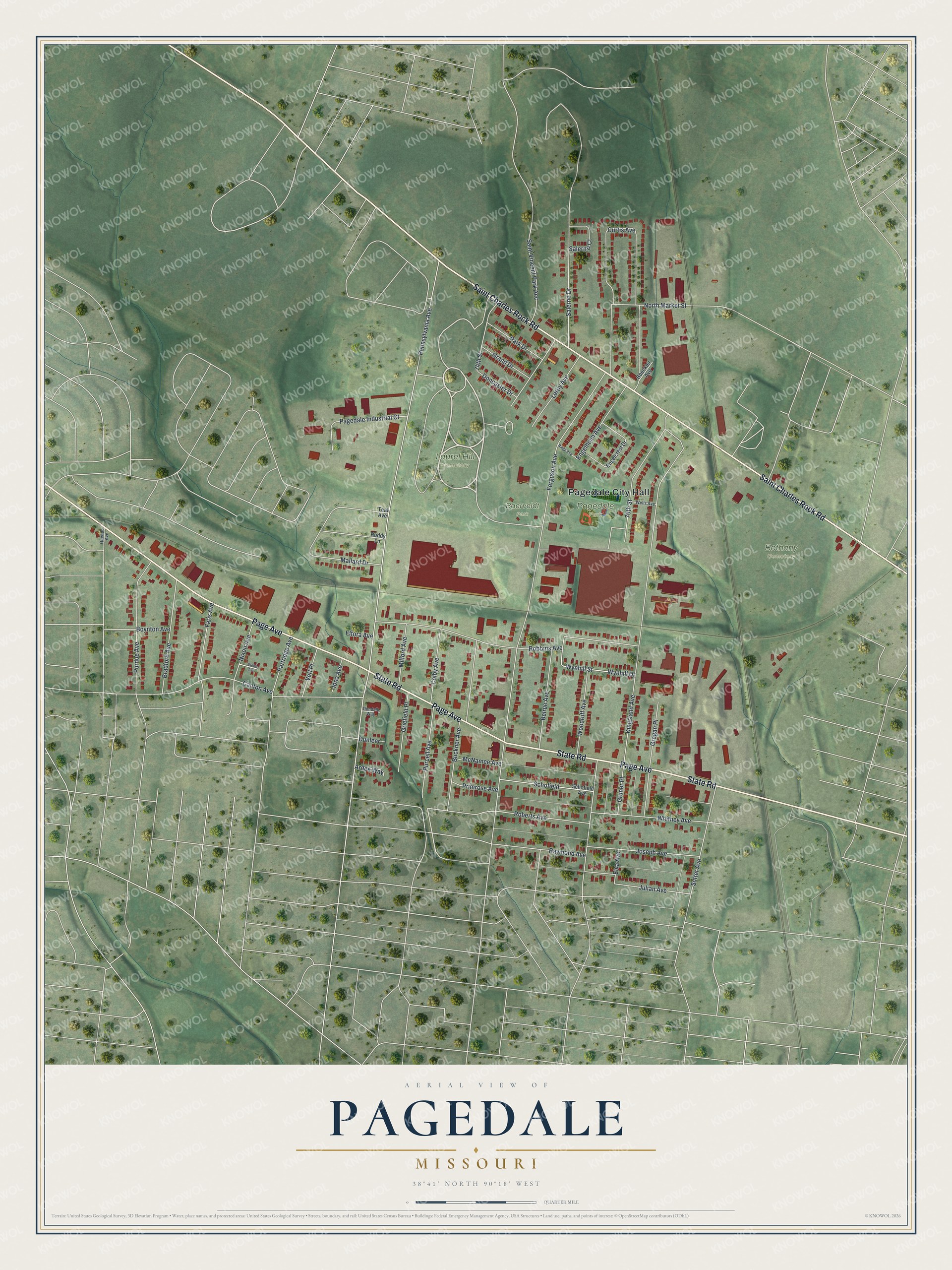
Street and place names on the Pagedale, Missouri map
These names are printed on the map of Pagedale, Missouri.
Places: Pagedale City Hall, Bethany Cemetery, Laurel Hill Cemetery, Pagedale Park and Baerveldt Park.
Streets and roads: Page Avenue, State Road, Saint Charles Rock Road, Wynhill Street, Woodruff Avenue, Wynhill Drive, Curtis Avenue, Ferguson Avenue, Pennsylvania Avenue, Kingsland Avenue, Robbins Avenue, Engelholm Avenue.
More street names, A to Z
70th Street, 74th Street, Ardee Way, Belrue Avenue, Boeckler Avenue, Boynton Avenue, Bradford Avenue, Buckner Avenue, Canton Avenue, Colby Avenue, Doncaster Drive, Dundalk Way, Dunleer, Eltora Avenue, Elva Avenue, Engelcrest Drive, Faris Avenue, Grand Drive, Gregan Place, Griefield Place, Gruner Place, Iona Avenue, Joseph Avenue, Julian Avenue, Leroy Avenue, Mallard Drive, McNamee Avenue, Milford Avenue, Nixon Avenue, North Market Street, Pagedale Industrial Court, Park Drive, Partridge Avenue, Primrose Avenue, Purcell Avenue, Purdue Avenue, Quendo Avenue, Raymond Avenue, Ridge Avenue, Roberts Avenue, Ruddy Lane, Saint Vincent Park Acc, Salerno Court, Salerno Drive, Schofield, Schofield Avenue, Sutter Avenue, Teal Avenue, Verl Place, Webb Avenue, Wells Avenue, Whitney Avenue.
See the Pagedale, Missouri map on a wall
The Pagedale map as an 18 x 24 inch print in a black frame.

This beautifully detailed map of Pagedale makes an attractive addition to your office, library, or den, and it can even be used to teach children the geography and history of the area. It also makes a great gift for anyone who grew up in Pagedale or moved away. When you’re done exploring, click here to get your copy of the Pagedale map.