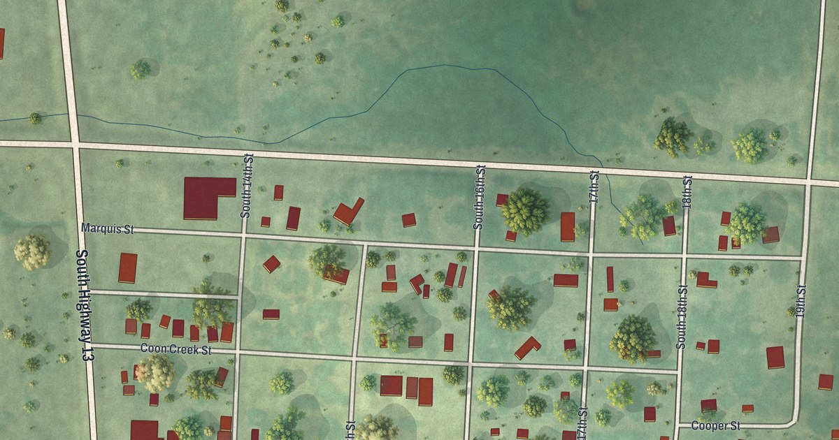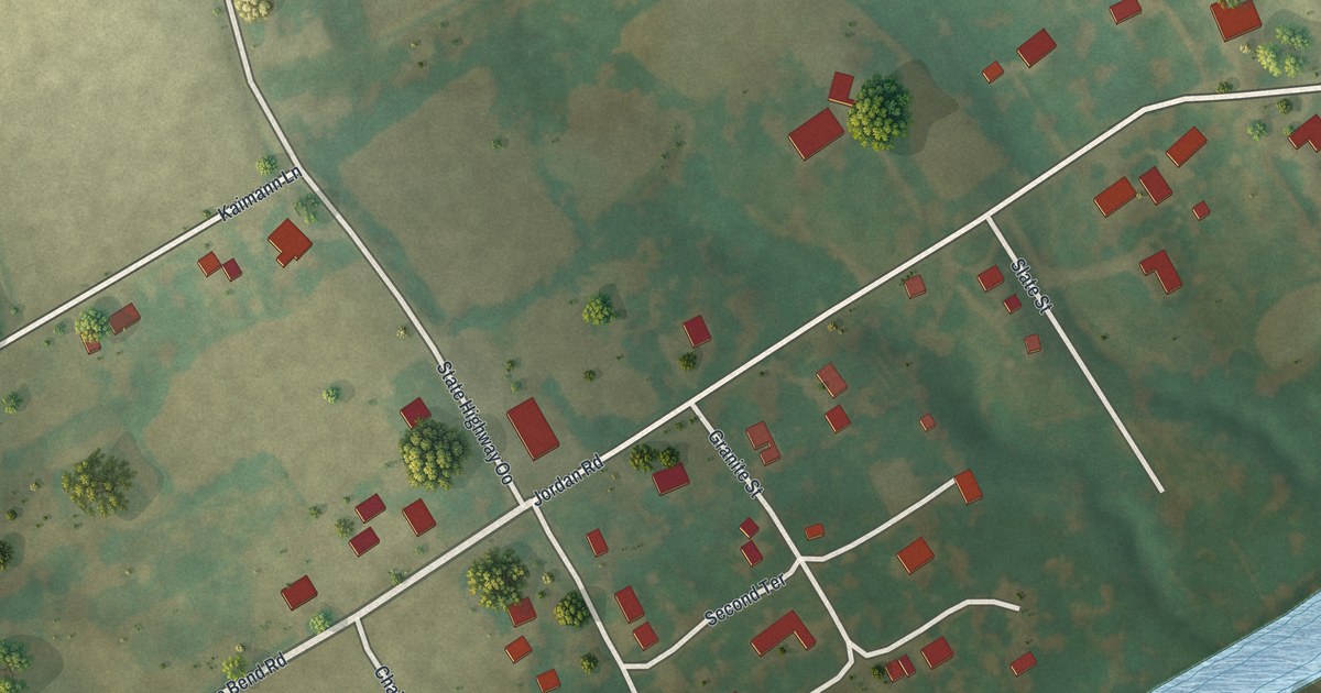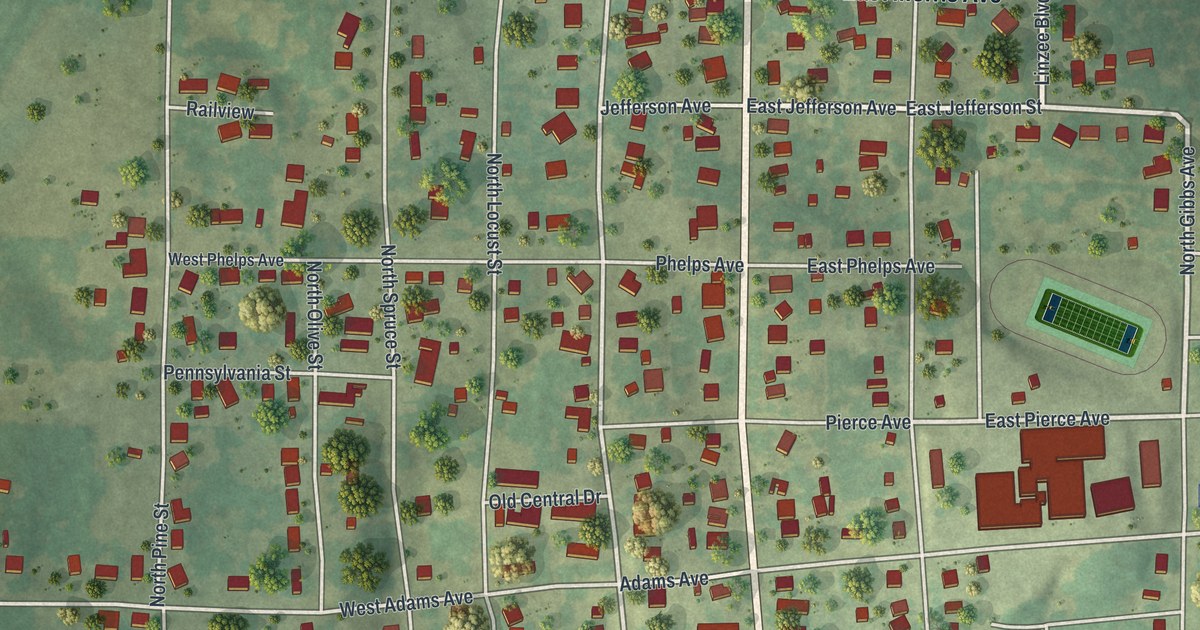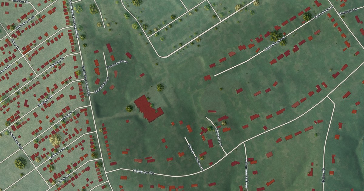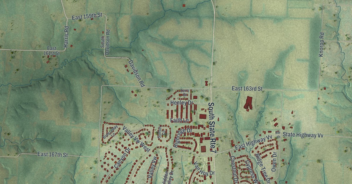
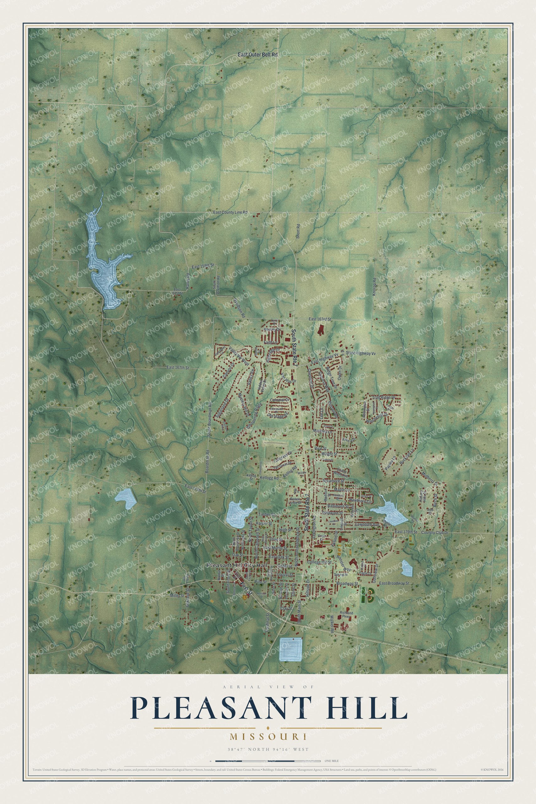
This beautifully detailed map of Pleasant Hill, Missouri was created in 2026 using aerial imagery combined with modern topographical, census, street and landmark data. It's a modern aerial view of Pleasant Hill in Cass County, Missouri, that combines modern data with a vintage aesthetic. The roads feature printed names, and if you look closely you can find your exact house accurately shown in its correct location.
Explore an aerial view of Pleasant Hill, Missouri
On this map you'll find Pleasant Hill City Hall, First Street, East Outer Belt Road, Harris Road, East County Line Road, Kellogg Road, North Independence Street, East Highway Vv, State Highway Vv, Country Club Drive, Broadway Street, Sugarland Drive, and more. Each red shape is a building, so zoom in on the preview and look for yours.
Every town has a first chapter, and Pleasant Hill is no exception. The State Historical Society of Missouri puts it this way: "This name was given to the site of Old Pleasant Hill (q.v.) in 1865 when the Pacific Railroad was completed to this point, and the old town had moved closer to the railroad."
Pleasant Hill is a city in Cass County. The Census Bureau counted 8,777 people here in 2020.
Take a closer look at the Pleasant Hill map
Names on this map
These names are printed on this map.
Places: Pleasant Hill City Hall.
Streets and roads: South State Route 7, First Street, East Outer Belt Road, Harris Road, East County Line Road, Kellogg Road, North Independence Street, East Highway Vv, State Highway Vv, Country Club Drive, Broadway Street, Sugarland Drive.
More street names, A to Z
Alice Avenue, Ash Street, Baltimore Street, Benton Street, Birch Street, Boardman Road, Breezeway Lane, Buckeye Lane, Campbell Street, Canyon Drive, Cardinal Street, Cedar Street, Chestnut Drive, Clay Street, Cline Street, College Hill Street, Colonial Drive, Cotton Wood Avenue, Crest Drive, Cypress Way, Davidson Road, Deena Street, Delaware Street, Eagle Drive, East 159th Street, East 161st Street, East 163rd Street, East 167th Street, East 175th Street, East 179th Street, East Broadway Street, East Myrtle Street, East Oak Street, Eklund Drive, Faith Lane, Faulknar Drive, Foxtail Drive, Golfview Drive, Hamilton Street, Harper Street, Harrison Street, Hawthorn Circle, Henley Drive, Hickory Hills Drive, Hidden Valley Drive, Highridge Drive, High Street, Hillcrest Street, Hillside Drive, Hill Top Road, Jones Street, Kellog Road, Kellog Street, Knorpp Road, Lawndale Avenue, Lawndale Street, Lee Lane, Lexington Road, Linwood Street, Locust Street, Madison Street, Maple Lane, Matthes Lane, Merle Road, Miller Street, Mulberry Street, Murray Road, Mystery Hill Drive, North Boardman Street, North Campbell Street, North Jeffreys Street, North Lake Street, North Taylor Street, Nottingham Drive, Oakland Street, Oak Street, Old Stage Road, Olive Street, Owen Drive, Palmer Court, Papaw Lane, Pine Street, Remington Street, Renee Lynde Drive, Rice Street, Richland Parkway, Ridge Tree Drive, Riffle Drive, Rooster Way, Route Vv, Russell Road, Short Road, Sitter Street, South Boardman Road, South Davidson Road, South Front Street, South Main Street, South Randolph Street, South Taylor Street, Spring Street, Sugarland Parkway, Sunset Circle, Sycamore Street, Tallgrass Drive, Tall Grass Drive, Terry Drive, Timber Street, Trail Ridge Drive, Valley Vw, Valley Vw West, Van Hoy Drive, Vermont Street, Walker Road, Walnut Street, Webster Street, Whispering Ridge, Wildwood Drive, Willow Lane, Winchester Drive, Wright Street.
Created by KNOWOL in 2026. The buildings are small red shapes, the roads carry their printed names, and shaded relief shows the shape of the land. The title panel reads "AERIAL VIEW OF PLEASANT HILL MISSOURI" with 3, 8, °, 4, 7, ', , N, O, R, T, H, , 9, 4, °, 1, 6, ', , W, E, S, T.
Hang it in the hallway, the office or the cabin, or give it to someone who left Pleasant Hill and still calls it home. Open the preview and look for a street you know. See sizes and frames for the Pleasant Hill map.