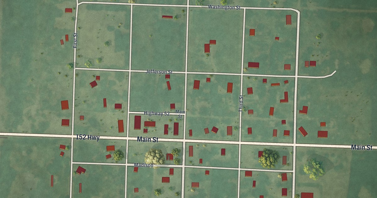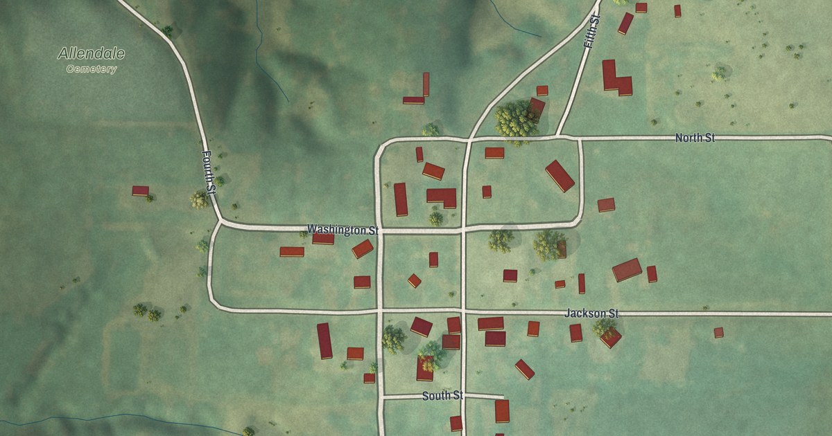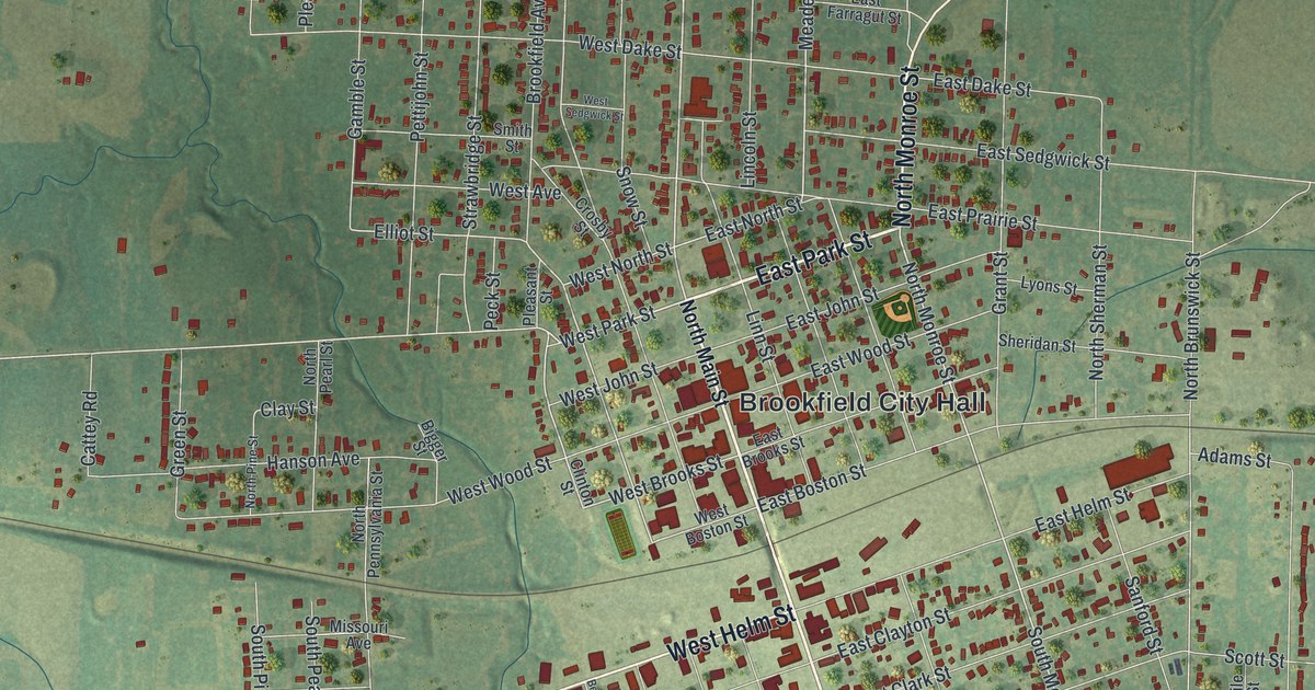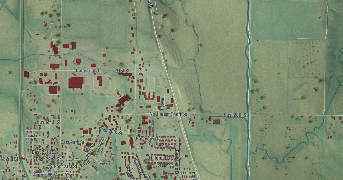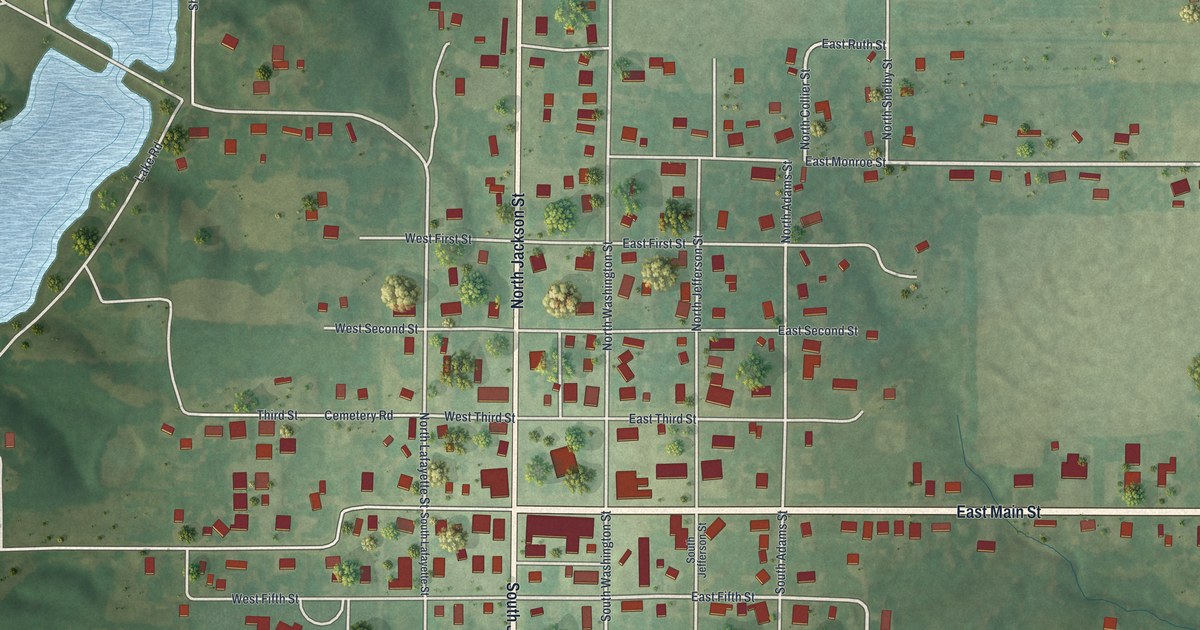
If you grew up in Shelbyville, look for your old block on this print. It's a modern aerial view of Shelbyville in Shelby County, Missouri, made with modern data and a vintage feel. Red buildings line the town's street grid, with green fields beyond. A long blue lake fills the left side.
East Main Street and Shelbyville's streets
On this map you'll find East Main Street, West Main Street, North Jackson Street, South Jackson Street, North Washington Street, South Washington Street, East Park Street, East Monroe Street, Lake Road, Cemetery Road, and more. Each red shape is a building, so zoom in on the preview and look for yours.
Shelbyville's first county court in 1836
Shelbyville's first county court term took place in a home. The 1884 county history dates it to July 6, 1836. Court met at Abraham Vandiver's house, described as the first house in town. That's an early chapter to share while looking over today's streets. On the print, you can pick out the blocks around East Main Street and North Jackson Street, with red buildings set along the pale roads.
Keep Shelbyville's Main Street close
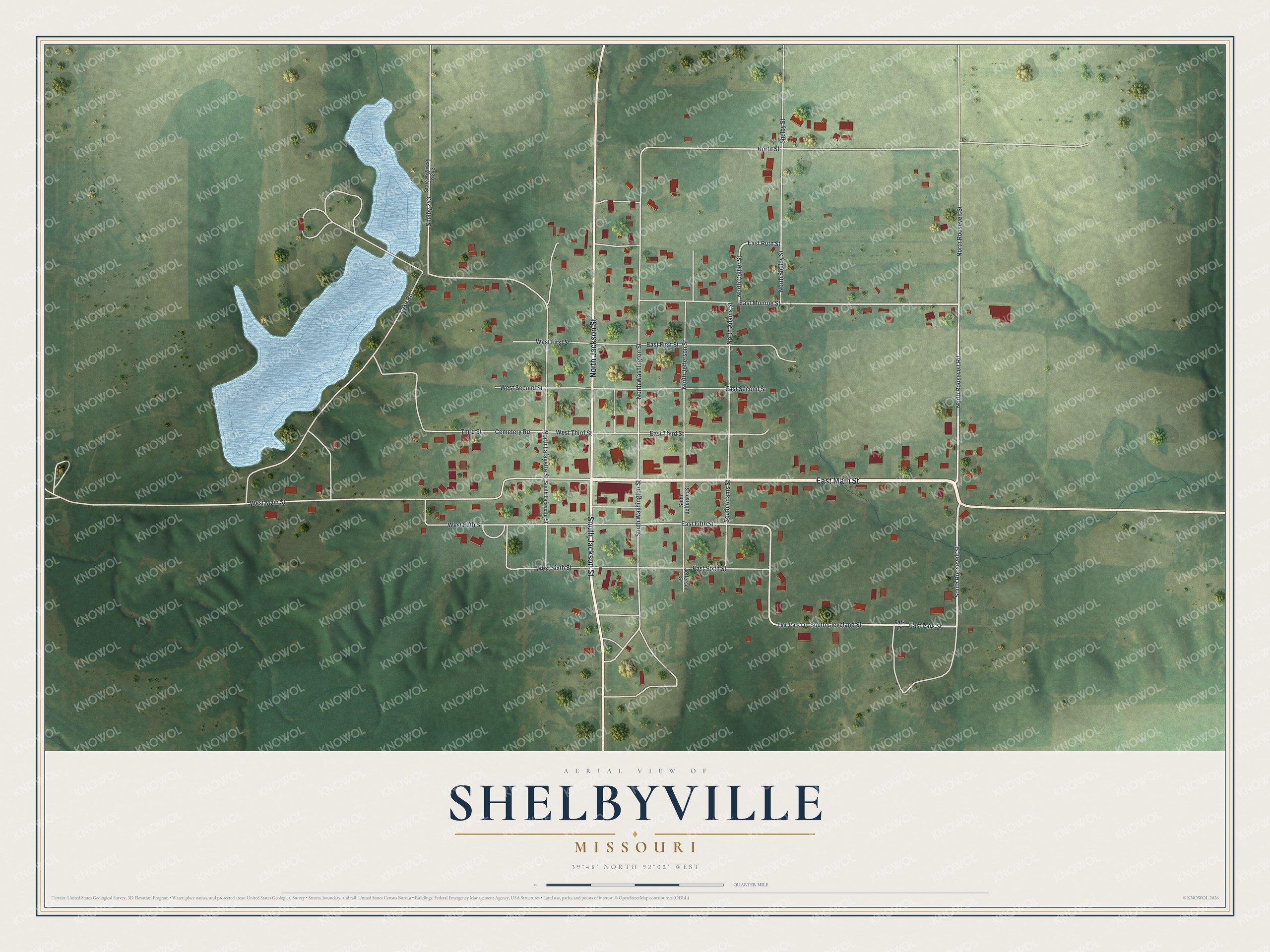
Created by KNOWOL in 2026, the print pairs soft green land with blue water, pale roads and red buildings. A cream border surrounds the view. The title panel reads AERIAL VIEW OF, SHELBYVILLE, MISSOURI, with 39°48' NORTH 92°02' WEST below.
Hang it in a living room, office or entryway. It's a gift for someone who grew up near East Main Street and moved away. Open the preview to find a familiar block and take a closer look. See sizes and frames for the Shelbyville map.