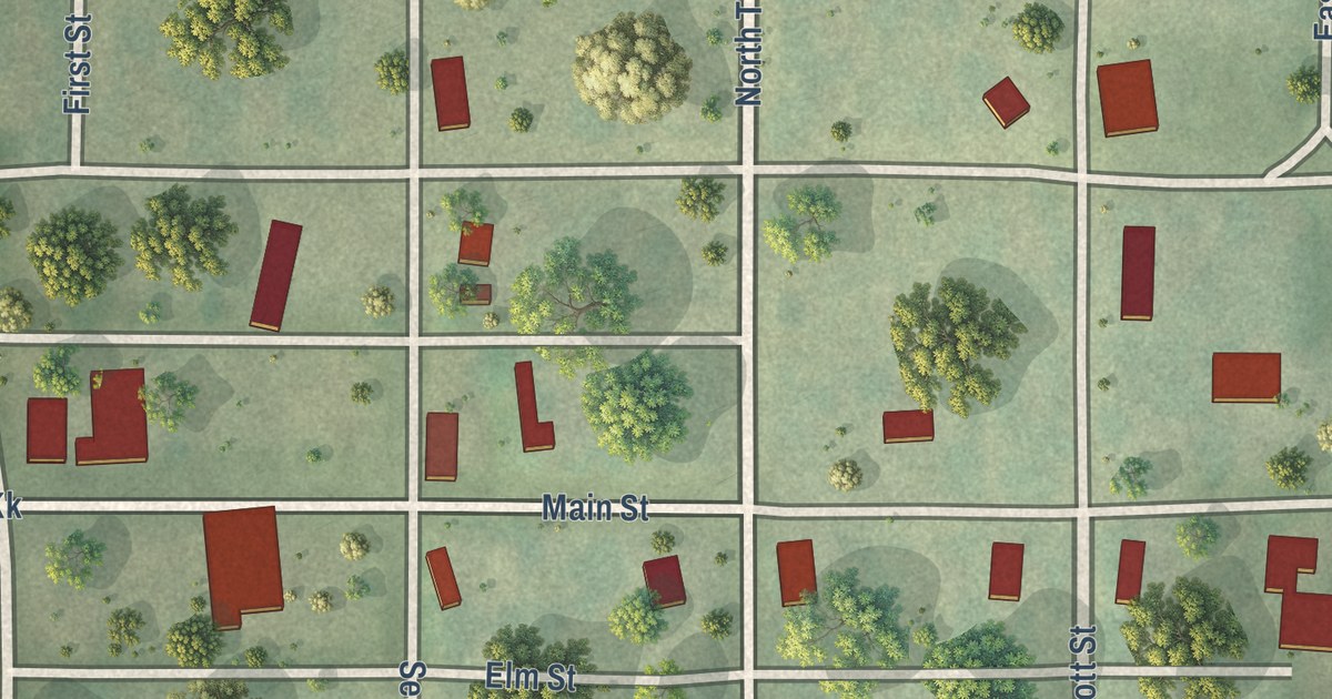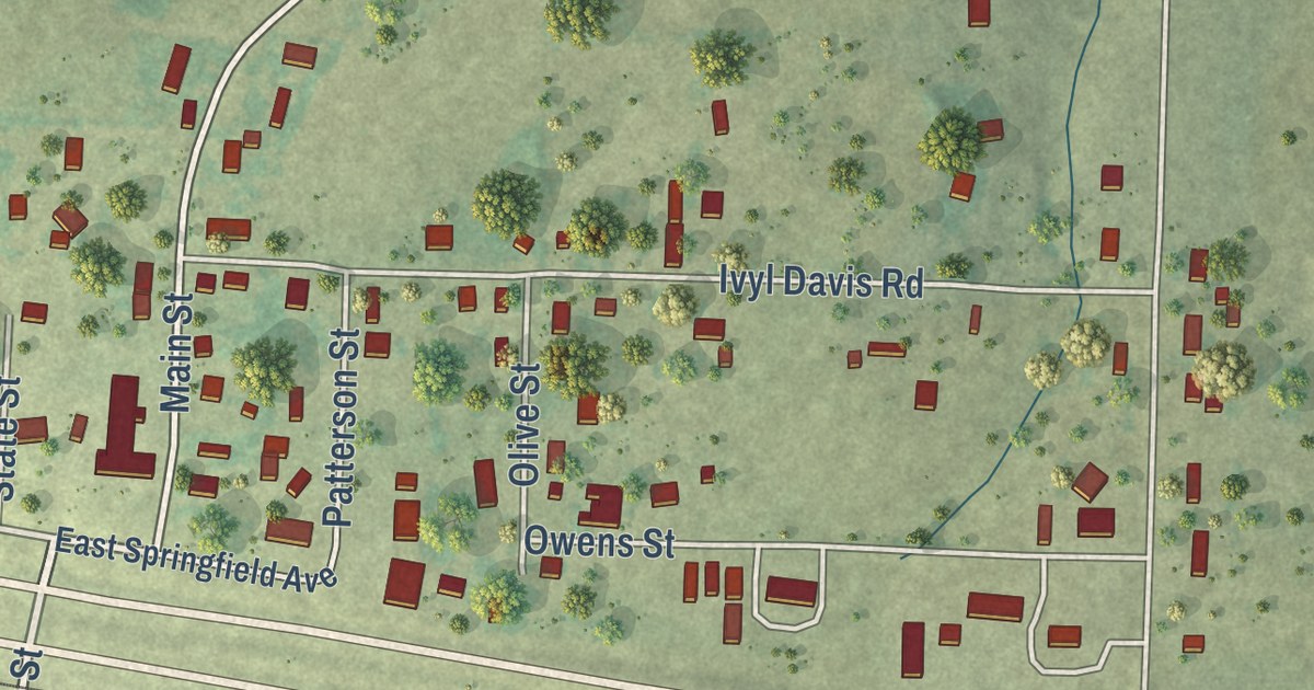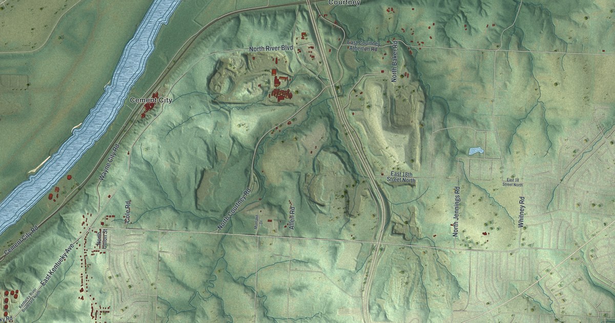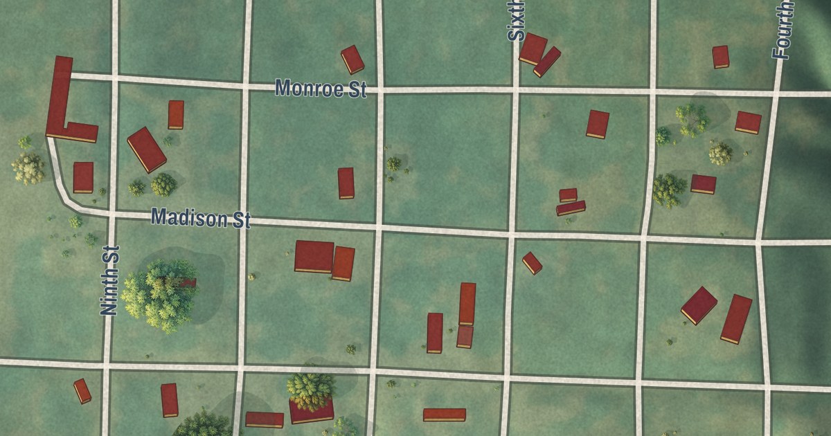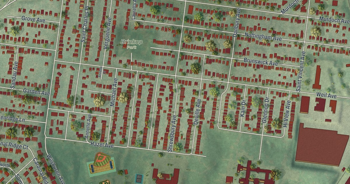
This beautifully detailed map of Shrewsbury, Missouri was created in 2026 using aerial imagery combined with modern topographical, census, street and landmark data. It’s a one-of-a-kind view of Shrewsbury that combines accurate data with a vintage aesthetic. The map shows every building in its true location, many of the roads carry their names, and the shaded topographic relief shows the shape of the land.
Explore an aerial view of Shrewsbury, Missouri
On the map you’ll find Ackfeld Park and Brinkop Park, along with Watson Road, Triwoods Drive, Carr Lane, Hazel Avenue, Whitehall Colonial Lane, Somerworth Lane, Laclede Station Road, South Laclede Station Road, Shrewsbury Avenue, Weil Avenue, and more. If you look closely you can even find your house accurately drawn in its correct location. Zoom in on the preview to look for yours.
Did you know this piece of Shrewsbury, Missouri history?
From the State Historical Society of Missouri: "Many places in the United States are named Shrewsbury for the town in England."
Take a closer look at the Shrewsbury map
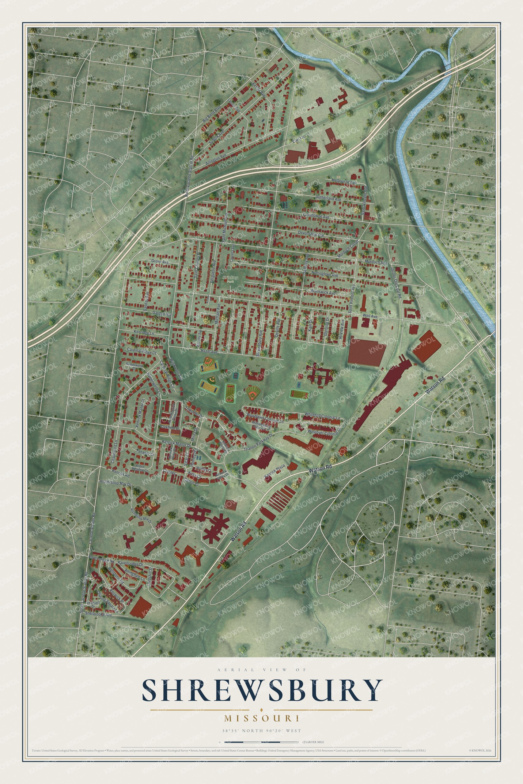
Street and place names on the Shrewsbury, Missouri map
These names are printed on the map of Shrewsbury, Missouri.
Places: Ackfeld Park and Brinkop Park.
Streets and roads: Watson Road, Triwoods Drive, Carr Lane, Hazel Avenue, Whitehall Colonial Lane, Somerworth Lane, Laclede Station Road, South Laclede Station Road, Shrewsbury Avenue, Weil Avenue, Murdoch Avenue, Sutherland Avenue.
More street names, A to Z
Annette Avenue, Annette Court, Archbiship May Drive, Archbishop May Drive, Arlington Avenue, Attingham Lane, Bellstone Road, Big Bend Boulevard, Brunswick Avenue, Canon Court, Cardinal Ridge Circle, Cardinal Ridge Court, Chapelford Lane, Charing Square Lane, Chatwell Drive, Crathes, Danbury Avenue, Deville Avenue, Devonshire Avenue, Exeter Avenue, Garden Avenue, Glennon Drive, Grove Avenue, Hi View Avenue, Huntley Court, Huntley Drive, Jacobs Old Coal Road, Kain Drive, Kenrick Manor Court, Kenrick Manor Drive, Kenrick Parke Drive, Kenrick Plaza, Kenrick Pointe Drive, Kenrick Road, Kenrick Valley Drive, Kenridge Lane, Keswick Place, Kirky Court, Lansdowne Avenue, Laurella Avenue, Lenox Avenue, Lordshill Street, Melbourne Avenue, Michael Avenue, Mirex Drive, Murdoch Cutoff, North Kenrick Parke Drive, North Laclede Station Road, Nottingham Avenue, Oakhom Drive, Ravensridge Drive, Ravensridge Road, Robin Meadow Court, Saint Charles Place, Saint Michael Avenue, Saint Vincent Avenue, Sandau Avenue, Sherbrooke Avenue, Somerworth Court, Suffolk Avenue, Tanager Court, Trianon Parkway Drive, Verguene Avenue, Vicar Court, Westover Colonial Lane, Williamsburg Colonial Lane, Wilshusen Avenue, Woodlawn Colonial Lane.
See the Shrewsbury, Missouri map on a wall
The Shrewsbury map as an 18 x 24 inch print in a black frame.

This beautifully detailed map of Shrewsbury makes an attractive addition to your office, library, or den, and it can even be used to teach children the geography and history of the area. It also makes a great gift for anyone with Shrewsbury roots. When you’re done exploring, click here to get your copy of the Shrewsbury map.