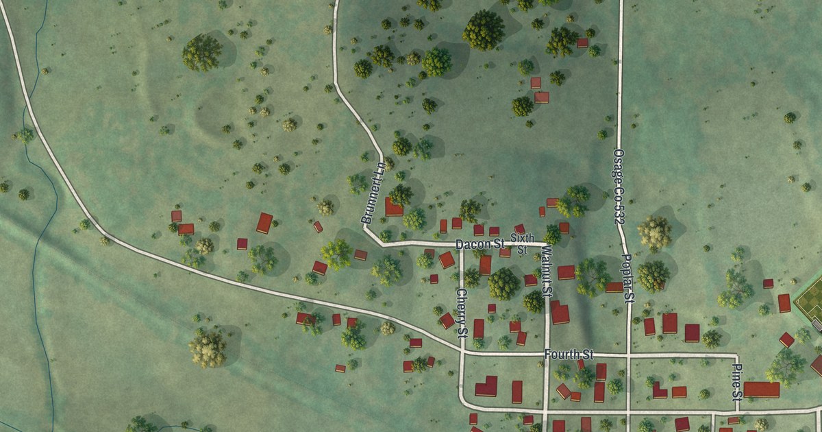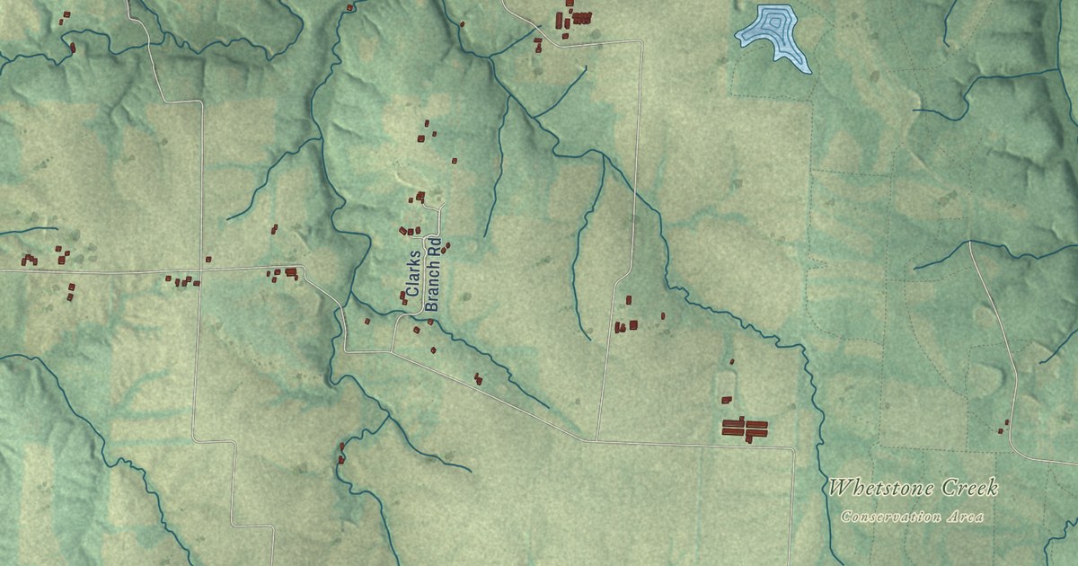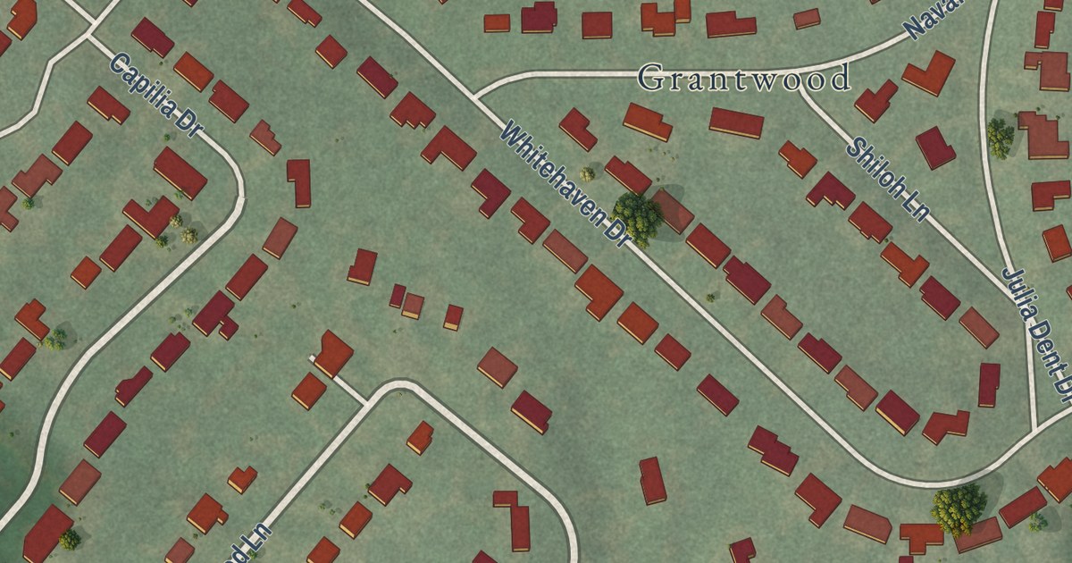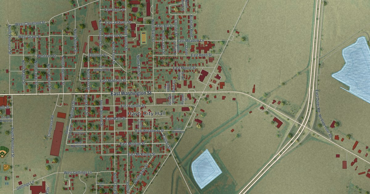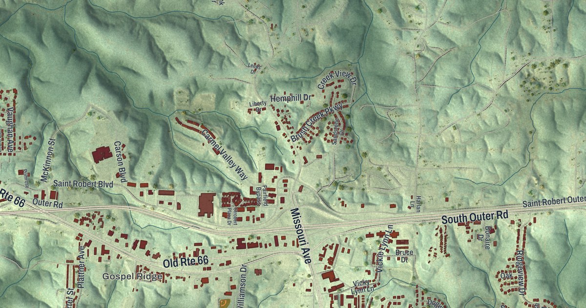
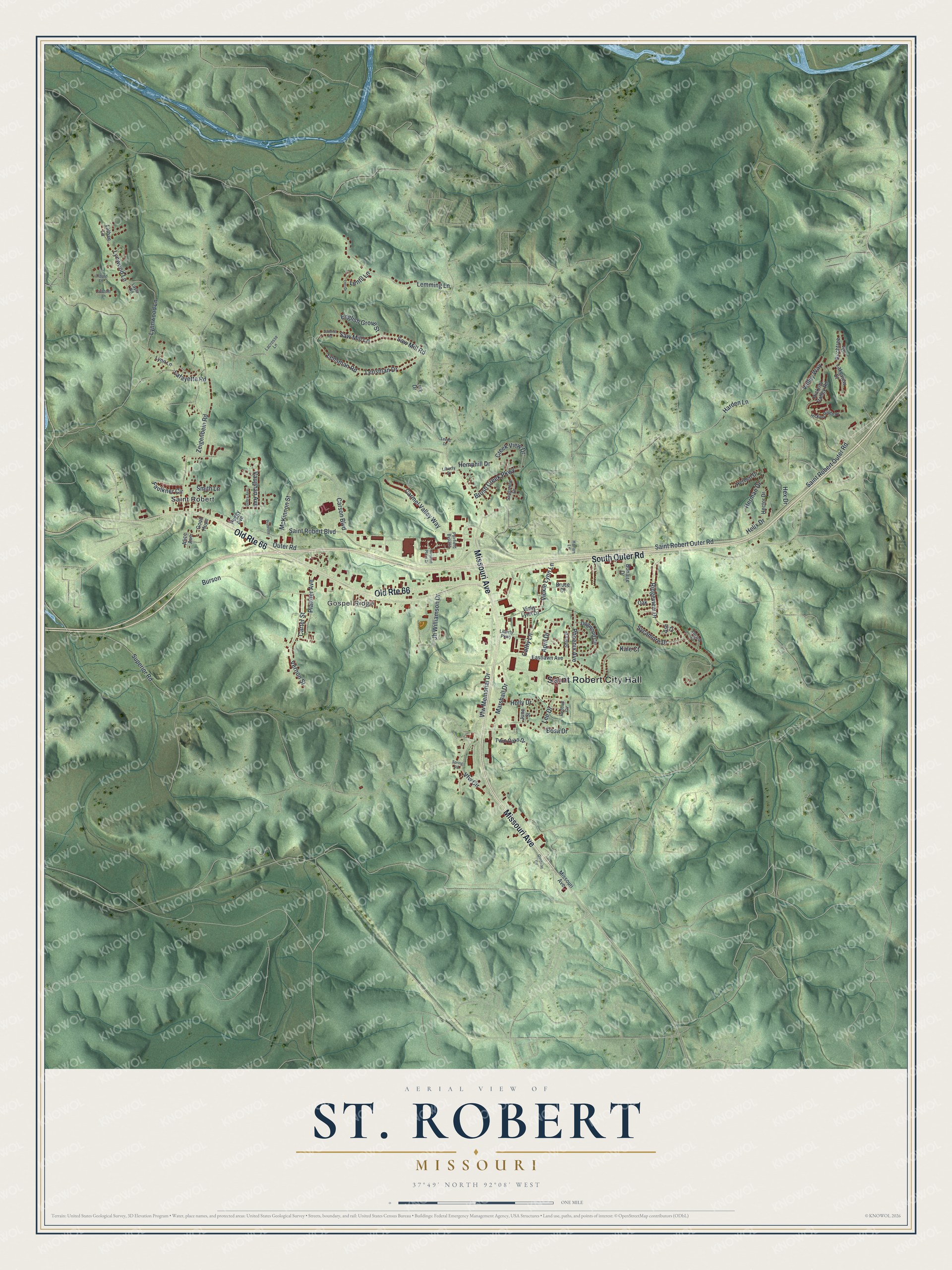
This beautifully detailed map of St. Robert, Missouri was created in 2026 using aerial imagery combined with modern topographical, census, street and landmark data. It’s a one-of-a-kind view of St. Robert that combines accurate data with a vintage aesthetic. The map shows every building in its true location, many of the roads carry their names, and the shaded topographic relief shows the shape of the land.
Explore an aerial view of St. Robert, Missouri
On the map you’ll find Saint Robert City Hall and Gospel Ridge, along with Missouri Avenue, South Outer Road, Marshall Drive, Cathy Lane, Saint Robert Outer Road, Saint Robert Boulevard, Superior Road, Ridgeview Drive, Zeigenbein Road, and more. If you look closely you can even find your house accurately drawn in its correct location. Zoom in on the preview to look for yours.
Did you know this piece of St. Robert, Missouri history?
From Clio: "St. Robert’s origins trace back to the early 1900s, when the area was a small farming settlement populated largely by Dunkards, or German Baptists, who practiced baptism by immersion. Because of these early religious roots, the ridge on which the community developed was known locally as Gospel Ridge."
Take a closer look at the St. Robert map
Street and place names on the St. Robert, Missouri map
These names are printed on the map of St. Robert, Missouri.
Places: Saint Robert City Hall, Gospel Ridge and Saint Robert.
Streets and roads: Missouri Avenue, Old Route 66, South Outer Road, Marshall Drive, Cathy Lane, Saint Robert Outer Road, Saint Robert Boulevard, Superior Road, Ridgeview Drive, Zeigenbein Road, Lensman Drive, Vfw Memorial Drive.
More street names, A to Z
Alice Avenue, April Drive, Ash Court, Birchtree Circle, Bonaire Drive, Bosa Drive, Bruce Drive, Brush Creek Parkway, Burson, Carmel Valley Way, Carson Boulevard, Carter Street, Creek View Drive, Debra Avenue, Dogwood Circle, Eastlawn Avenue, English Grove Street, Fairfield Bypass, Faulkner Circle, Gateway Circle, Good Hope, Harden Lane, Harlan Lane, Hector Drive, Helix Drive, Hemphill Drive, Herbert Drive, Herman Drive, Hex Drive, Hickory Ridge Drive, Hickory Valley Road, Holly Drive, Jh Williamson Drive, June Street, Kale Court, Lacrosse Lane, Lafayette Road, Lakeview Court, Lathan Lane, Lavender Lane, Layla Road, Lee Drive, Leeds Drive, Legend Lane, Lemming Lane, Lensman Road, Lentil Lane, Liberty Drive, Liberty Parkway, Link Drive, Locust Court, Lori Drive, Lynn Lane, Lynnwood Lane, Lynwood Lane, McKinnon Street, Oak, Outer Road, Peggy Avenue, Phoenix Avenue, Plattner Avenue, Primrose, Redbud Circle, Sandstone Drive, Saw Mill Lane, Saw Mill Road, Sawmill Road, Shara Drive, Smith Lane, Spring Road, Strobert Plaza Drive, Sycamore Drive, Twin Oaks Drive, Valley Way, Vaughan Avenue, Vernon Street, Vfw Circle, Vickie Lynn Lane, Vicky Lynn Lane.
See the St. Robert, Missouri map on a wall
The St. Robert map as an 18 x 24 inch print in a black frame.

This beautifully detailed map of St. Robert makes an attractive addition to your office, library, or den, and it can even be used to teach children the geography and history of the area. It also makes a great gift for anyone with St. Robert roots. When you’re done exploring, click here to get your copy of the St. Robert map.