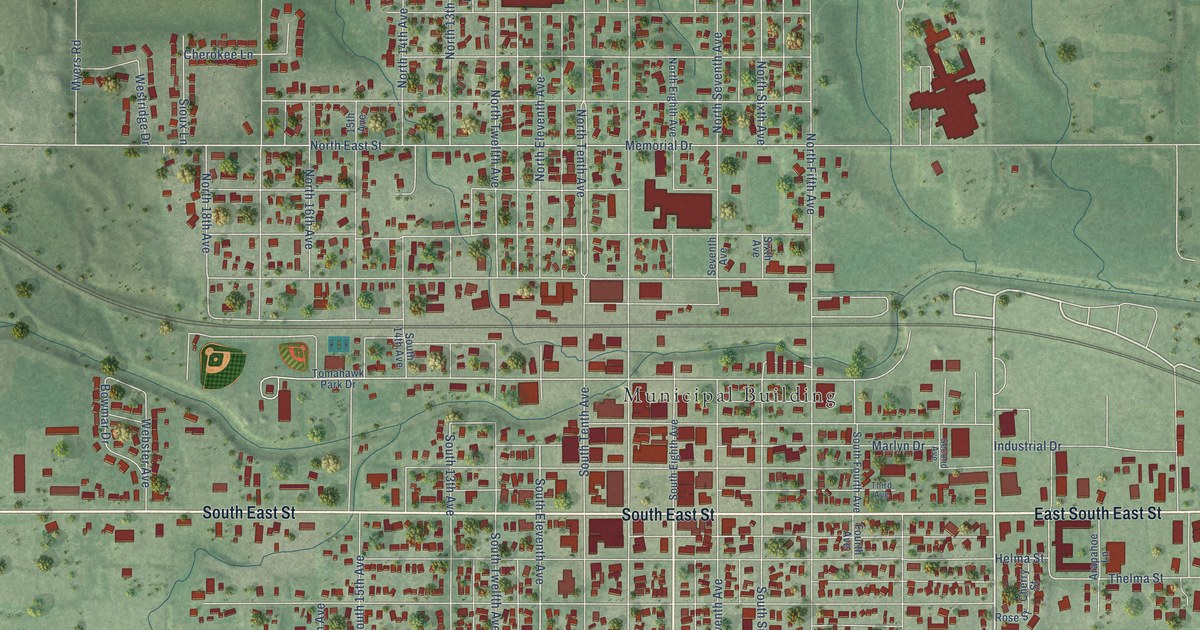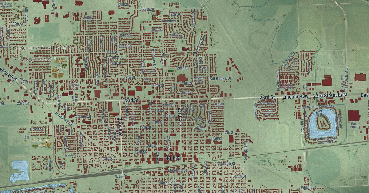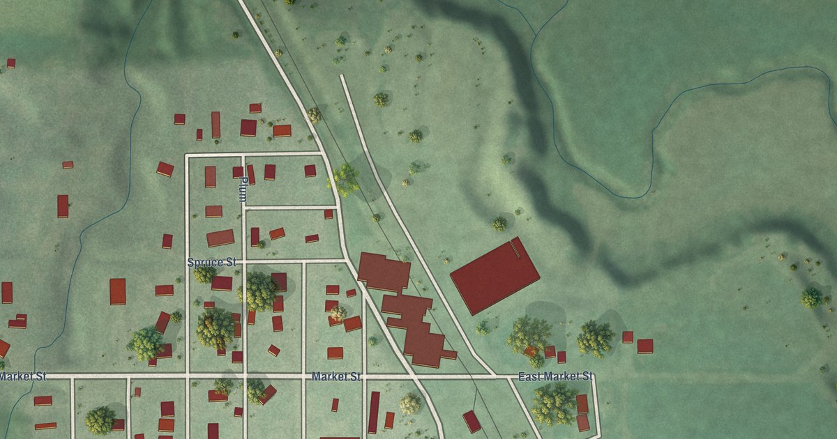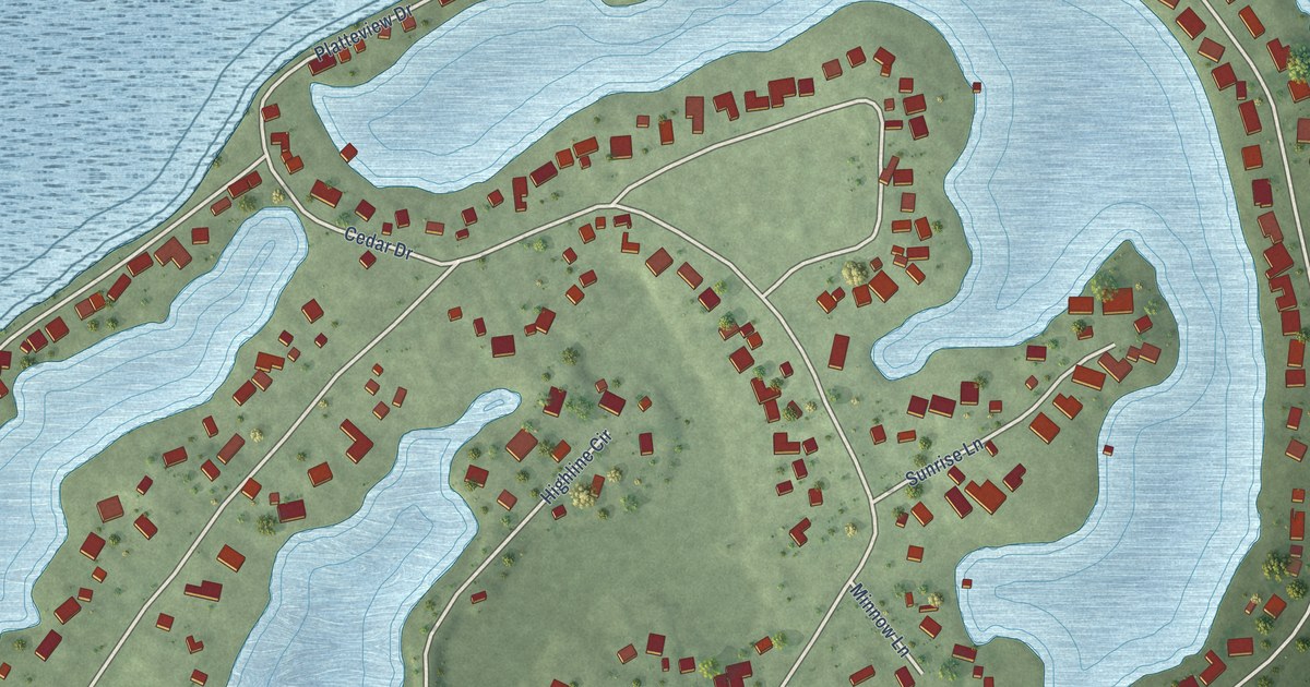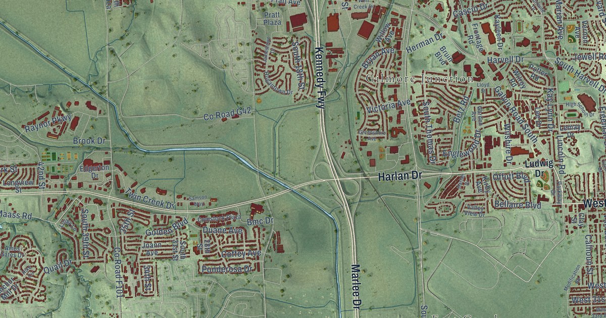
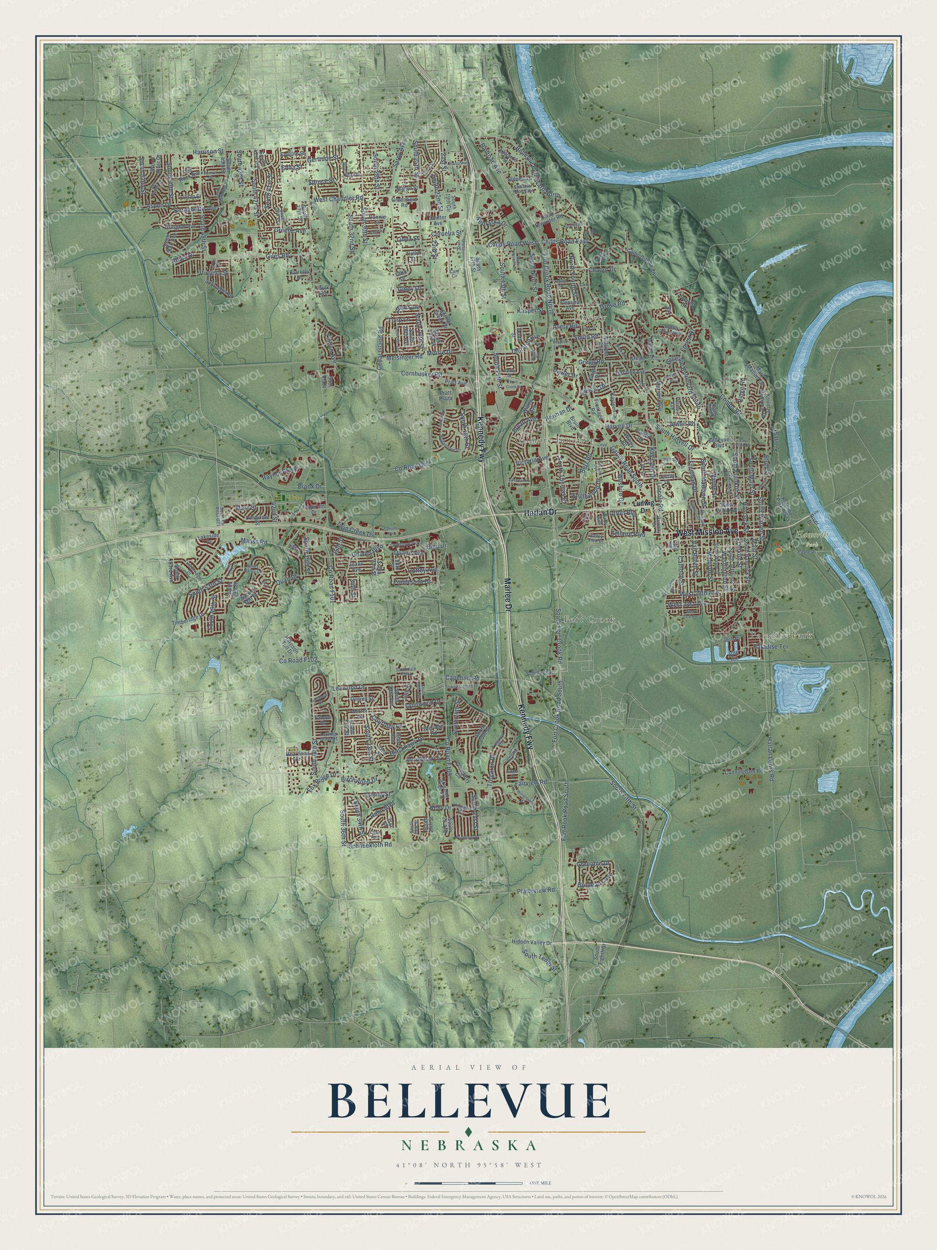
This beautifully detailed map of Bellevue, Nebraska was created in 2026 using aerial imagery combined with modern topographical, census, street and landmark data. It’s a one-of-a-kind view of Bellevue that combines accurate data with a vintage aesthetic. The map shows every building in its true location, many of the roads carry their names, and the shaded topographic relief shows the shape of the land.
Explore an aerial view of Bellevue, Nebraska
On the map you’ll find Paradise Park, Avery, Fort Crook, Gilmore Junction, Haworth Park, and Kennedy Fwy, along with West Mission Avenue, Marlee Drive, Harlan Drive, Fort Crook Road South, Bellevue Boulevard North, South 48th Street, and more. If you look closely you can even find your house accurately drawn in its correct location. Zoom in on the preview to look for yours.
Did you know this piece of Bellevue, Nebraska history?
From the University of Nebraska: "Bellevue is the oldest town in the state of Nebraska. It was organized as a city in 1856 but settlement in the vicinity goes back to a much earlier date."
Take a closer look at the Bellevue map
Street and place names on the Bellevue, Nebraska map
These names are printed on the map of Bellevue, Nebraska.
Places: Paradise Park, Avery, Fort Crook, Gilmore Junction and Haworth Park.
Streets and roads: Kennedy Fwy, West Mission Avenue, Marlee Drive, Harlan Drive, Fort Crook Road South, Bellevue Boulevard North, South 48th Street, Fort Crook Road North, Lincoln Road, Franklin Street, South Franklin Street, Thurston Avenue.
More street names, A to Z
21st Street, 23rd Street, 28th Street, 29th Avenue, 29th Street, 31st Street, 32nd Street, 34th Street, 35th Plaza, 35th Street, 36th Place, 40th Circle, 42nd Street, 47th Street, Alberta Avenue, Amos Gates Drive, Anchor Mill Drive, Anna Street, Arrowhead Lane, Aspen Drive, Avery Road, Barretts Drive, Bellaire Boulevard, Bellevue Boulevard, Bellevue Boulevard South, Bernadette Avenue, Betz Road, Birchwood Drive, Blackhawk Drive, Blue Ridge Drive, Bluff Street, Bmc Drive, Bonnie Street, Bordeaux Avenue, Borman Street, Brenton Avenue, Brook Drive, Bruin Boulevard, Bryan Avenue, Calhoun Street, Camp Brewster Road, Camp Gifford Road, Capehart Road, Cary Circle, Cascio Drive, Cedar Island Road, Chad Avenue, Chandler Road East, Chaput Drive, Childs Road East, Childs Road West, Citta Drive, Clay Street, Coffey Avenue, Collins Drive, Combs Road, Comstock Plaza, Cornelia Street, Cornhusker Road, County Road G42, Courtney Drive, Cunningham Road, Daniell Street, Day Drive, Duane Avenue, East 13th Avenue, Edgerton Drive, Edna Street, Edwards Street, Emiline Street, Englewood Drive, Fairview Road, Falcon Drive, Faulk Avenue, Forest Drive, Fort Rook Road South, Fox Ridge Drive, Freeman Drive, Frontage Road, Front Street, Galvin Road South, Garden Avenue, Georgia Avenue, Gertrude Street, Giles Road, Gindy Drive, Glasgow Avenue, Glengarry Circle, Golden Boulevard, Grandview Avenue, Greene Avenue, Greenfield Road, Greensboro Avenue, Gregg Circle, Gregg Road, Grenoble Drive, Grove Road, Halifax Drive, Hancock Street, Harlan Lewis Road, Harrison Street, Harrison Tull Drive, Harvell Drive, Heartland Drive, Herman Drive, Hidden Hills Drive, Hidden Valley Drive, High School Drive, Hike Circle, Hillcrest Avenue, Hogantown Drive, Holly Street, Ivy Court, Jackson Street, Jamestown Drive, Jefferson Street, Jewell Road, Joann Avenue, Josephine Street, Kasper Street, Kayleen Drive, Kay Lynn Drive, Kelly Drive, Kings Drive, Kirby Avenue, Kohl Road, Kountze Memorial Drive, Krammer Park Plaza, Lake Forest Drive, Lakeside Drive, Laurel Drive, Lawnwood Drive, Leawood Drive, Lee Drive, Lemay Drive, Leona Lane, Lilley Lane, Lillian Street, Linda Street, Linden Avenue, Lindy Lane, Lloyd Street, Lois Lane, Longview Street, Looking Glass Drive, Lorraine Avenue, Lorraine Drive, Ludwig Drive, Lynnwood Drive, Maass Road, Madison Street, Main Street, Margo Street, Marian Avenue, Mark Street, Martin Drive, Martin Drive North, Mary Mallory Drive, Mayflower Road, Meisinger Road, Merwood Street, Mirror Lane, Modification Road, Morrie Drive, Nebraska Drive, Ninth Circle, North Fourth Street, Offutt Boulevard, Olive Street, Paradise Terrace, Parkway Drive, Payne Drive, Peoples Road, Pilgrim Drive, Platteview Road, Ponderosa Drive, Potter Road, Power Drive, Pratt Avenue, Pratt Plaza, Quail Drive, Rahn Boulevard, Railroad Avenue, Raynor Parkway, Red Rock Avenue, Ridge Road, River Drive, Robin Drive, Samson Way, Sandra Street, Sarpy Avenue, Sautter Avenue, Schilling Drive, Schneekloth Road, Schroeder Drive, Sheridan Road, Sidney Street, Smith Road, South 13th Street, South 15th Street, South 17th Street, South 18th Street, South 19th Circle, South 19th Street, South 20th Street, South 21st Street, South 22nd Street, South 23rd Street, South 24th Street, South 25 Avenue, South 25th Street, South 26th Avenue, South 26th Street, South 27th Avenue, South 27th Street, South 28th Avenue, South 28th Street, South 29th Avenue, South 29th Street, South 30th Street, South 31st Street, South 32nd Street, South 33rd Street, South 34th Street, South 35th Street, South 36th Street, South 37th Street, South 38th Street, South 39th Avenue, South 39th Street, South 41st Avenue, South 41st Street, South 42nd Street, South 43rd Street, South 45th Avenue, South 45th Street, South 47th Street, South 49th Street, South 50th Avenue, South 50th Street, South 52nd Street, South 53rd Avenue, South 53rd Street, South County Road G21, Southdale Plaza, South Eighth Street, South Eleventh Street, South Fifth Street, South Fort Crook Road, South Hancock Street, South Harvell Drive, South Jefferson Street, South Madison Street, South Main Street, South Ninth Street, South Tenth Street, South Thomas Drive, South Warren Street, South Wayne Street, Spring Creek Drive, Spruce Street, Sun Valley Drive, Tammy Street, Tenth Street, Terry Drive, Timberidge Drive, Timberridge Drive, Towne Centre Drive, Tregaron Circle, Tregaron Drive, Tregaron Ridge Avenue, Tulip Lane, Twin Creek Drive, Valley View Drive, Van Buren Street, Vernon Avenue, Victoria Avenue, Virginia Avenue, Virginia Street, Warren Street, Washington Street, Wayne Street, West 20th Avenue, West 29th Avenue, West 31st Avenue, West 33rd Avenue, West Chandler Road, Williamsburg Court, Willow Avenue, Wilroy Road, Wilshire Drive, Wolf Creek Drive, Wood River Drive.
See the Bellevue, Nebraska map on a wall
The Bellevue map as an 18 x 24 inch print in a black frame.

This beautifully detailed map of Bellevue makes an attractive addition to your office, library, or den, and it can even be used to teach children the geography and history of the area. It also makes a great gift for someone who left Bellevue and still calls it home. When you’re done exploring, click here to get your copy of the Bellevue map.