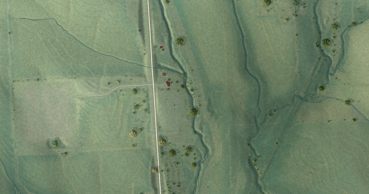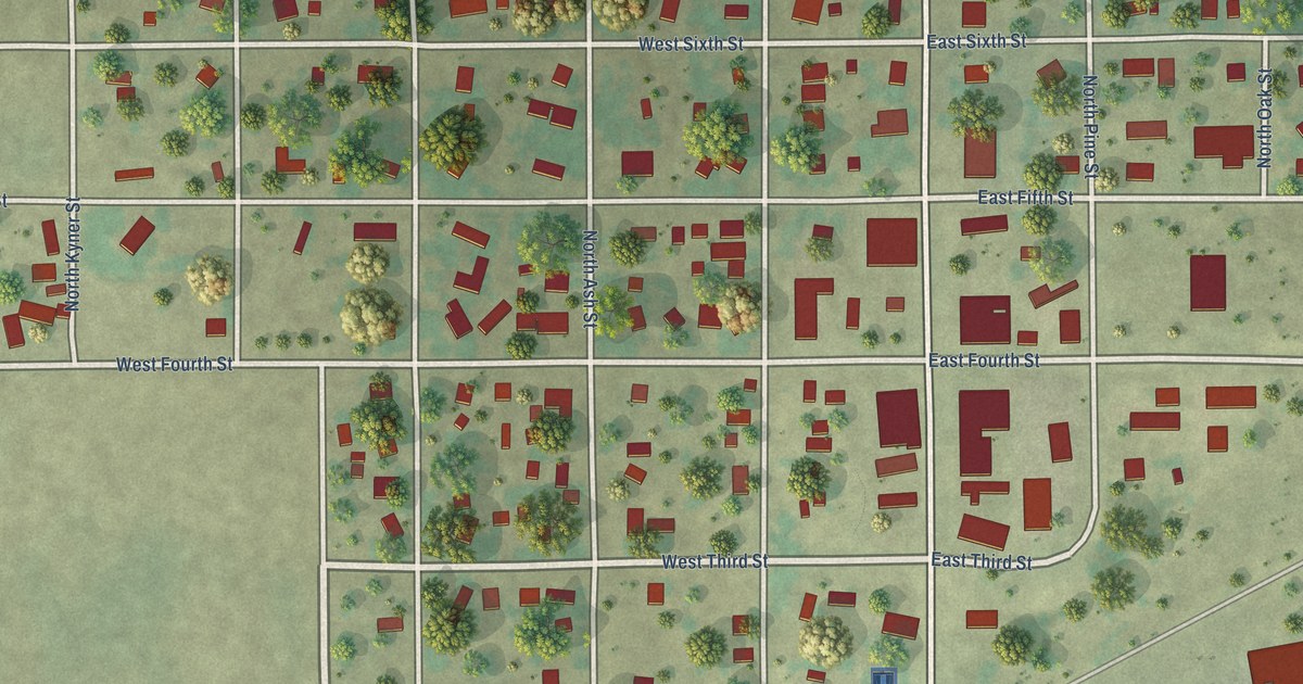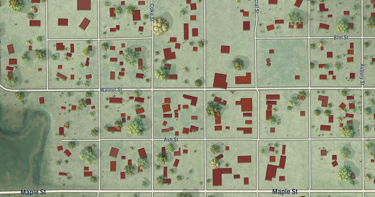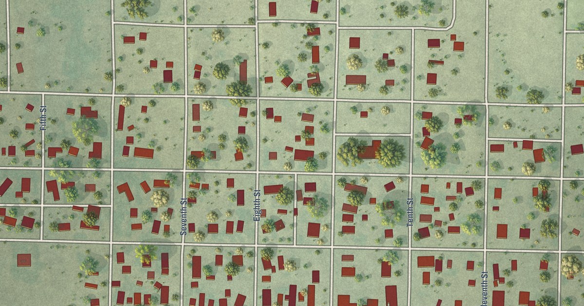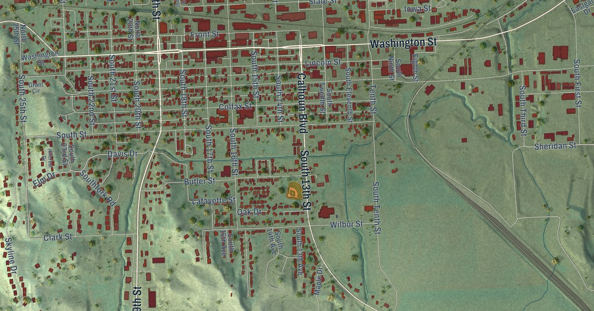
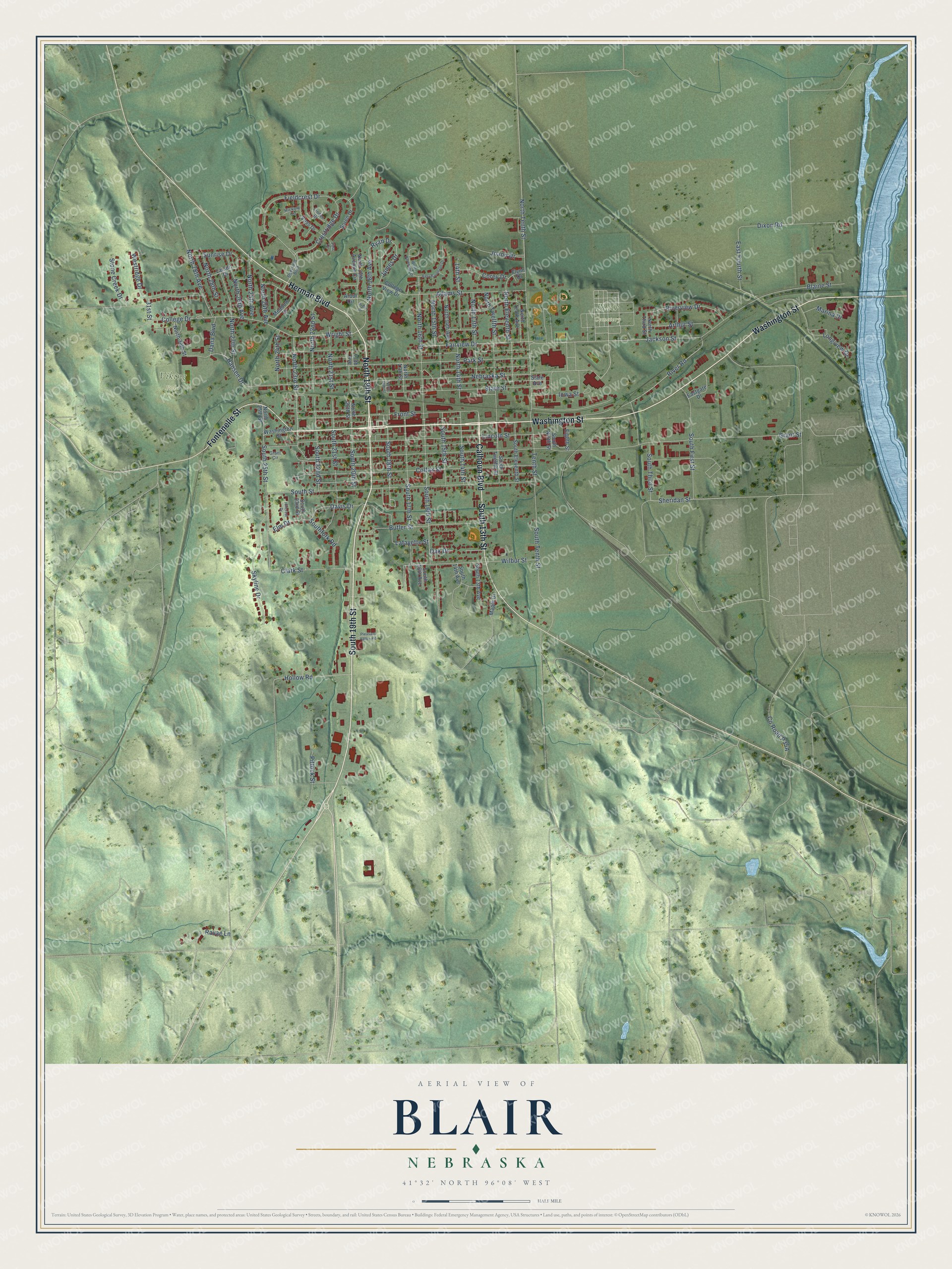
This beautifully detailed map of Blair, Nebraska was created in 2026 using aerial imagery combined with modern topographical, census, street and landmark data. It's a modern aerial view of Blair in Washington County, Nebraska, that combines modern data with a vintage aesthetic. The roads feature printed names, and if you look closely you can find your exact house accurately shown in its correct location.
Explore an aerial view of Blair, Nebraska
On this map you'll find Blair Cemetery, Viking Field, Washington Street, North 19th Street, South 19th Street, Calhoun Boulevard, South 13th Street, Herman Boulevard, Fontenelle Street, Wright Street, South 18th Street, North 23rd Street, and more. Each red shape is a building, so zoom in on the preview and look for yours.
Every town has a first chapter, and Blair is no exception. The Internet Archive puts it this way: "Then there
was a lull in the newspaper publishing business, until 1869, when the Reg-
ister was established at Blair, by B."
Blair is a city in Washington County. The Census Bureau counted 7,790 people here in 2020.
Take a closer look at the Blair map
Names on this map
These names are printed on this map.
Places: Blair Cemetery and Viking Field.
Streets and roads: Washington Street, North 19th Street, South 19th Street, Calhoun Boulevard, South 13th Street, Herman Boulevard, Fontenelle Street, Wright Street, South 18th Street, North 23rd Street, Hollow Road, North 18th Avenue.
More street names, A to Z
14th Street, 20th Avenue, 31st Street, Adams Street, Arbor Circle, Arbor Drive, Arthur Street, Blaine Street, Butler Street, Clark Street, Colfax Street, College Drive, College View Drive, Corey Drive, Crestridge Drive, Dana Boulevard, Davis Drive, Deerfield Boulevard, Dixon Road, East Baronage Drive, East Fourth Street, Eastgate Drive, Eighth Street, Elm Drive, Fairview Drive, Fieldcrest Drive, Flynn Drive, Front Street, Grant Circle, Grant Street, Hansen Drive, Hickory Circle, Hillcrest Drive, Iowa Street, Jackson Street, James Drive, Joann Drive, Lafayette Street, Larsen Drive, Lincoln Street, Linden Drive, Longview Drive, Maple Drive, Marina Drive, Meadow Drive, Nebraska Street, North 13th Street, North 14th Avenue, North 14th Street, North 15th Street, North 16th Street, North 17th Street, North 18th Street, North 20th Avenue Circle, North 20th Street, North 21st Street, North 22nd Street, North 24th Avenue, North 24th Street, North 25th Avenue, North 25th Street, North 26th Avenue, North 27th Street, North 28th Avenue, North 28th Street, North 30th Street, North Eleventh Street, North Tenth Avenue, North Tenth Street, North Third Street, North Twelfth Street, Oak Drive, Park Street, Pittock Street, Pleasant Valley Road, Ravae Lane, River Road, Riverview Drive, Ryan Drive, Sheridan Street, Skyline Drive, Soren Drive, South 13th Avenue, South 14th Avenue, South 14th Street, South 15th Street, South 16th Avenue, South 16th Street, South 17th Street, South 20th Street, South 21st Street, South 22nd Street, South 23rd Street, South 25th Street, South Eleventh Street, South First Street, Southfork Road, South Ninth Street, South Street, South Tenth Street, South Third Street, South Twelfth Street, State Avenue, State Street, Stone Creek Drive, Sunrise Drive, Tenth Street, Voss Circle, Voss Drive, West Baronage Drive, Westridge Drive, Wilbur Street.
Created by KNOWOL in 2026. The buildings are small red shapes, the roads carry their printed names, and shaded relief shows the shape of the land. The title panel reads "AERIAL VIEW OF BLAIR NEBRASKA" with 41°32' NORTH 96°08' WEST.
Hang it in the hallway, the office or the cabin, or give it to someone who left Blair and still calls it home. Open the preview and look for a street you know. See sizes and frames for the Blair map.