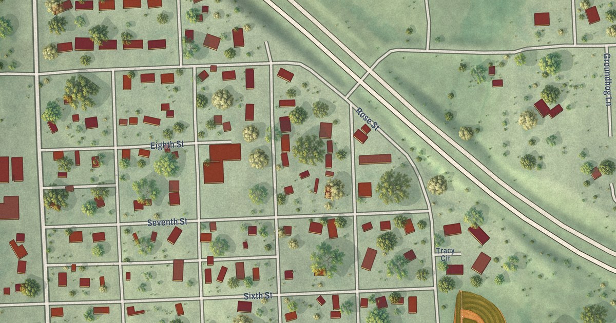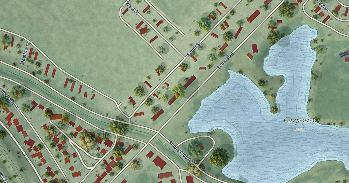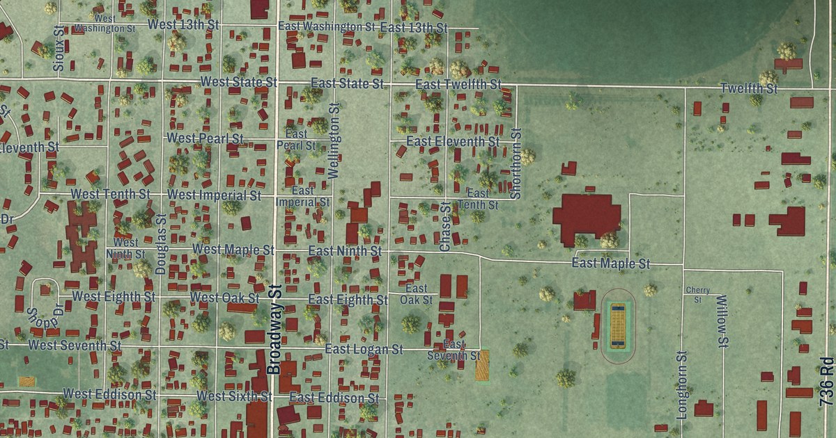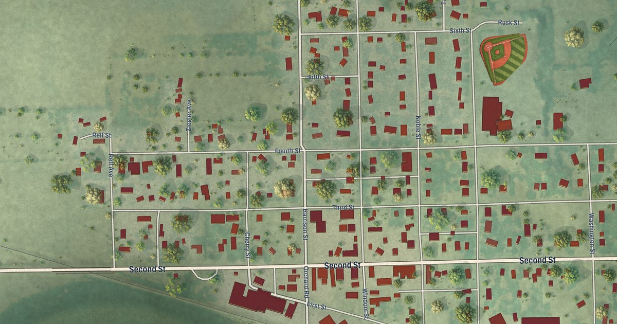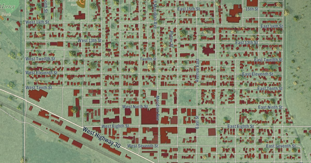
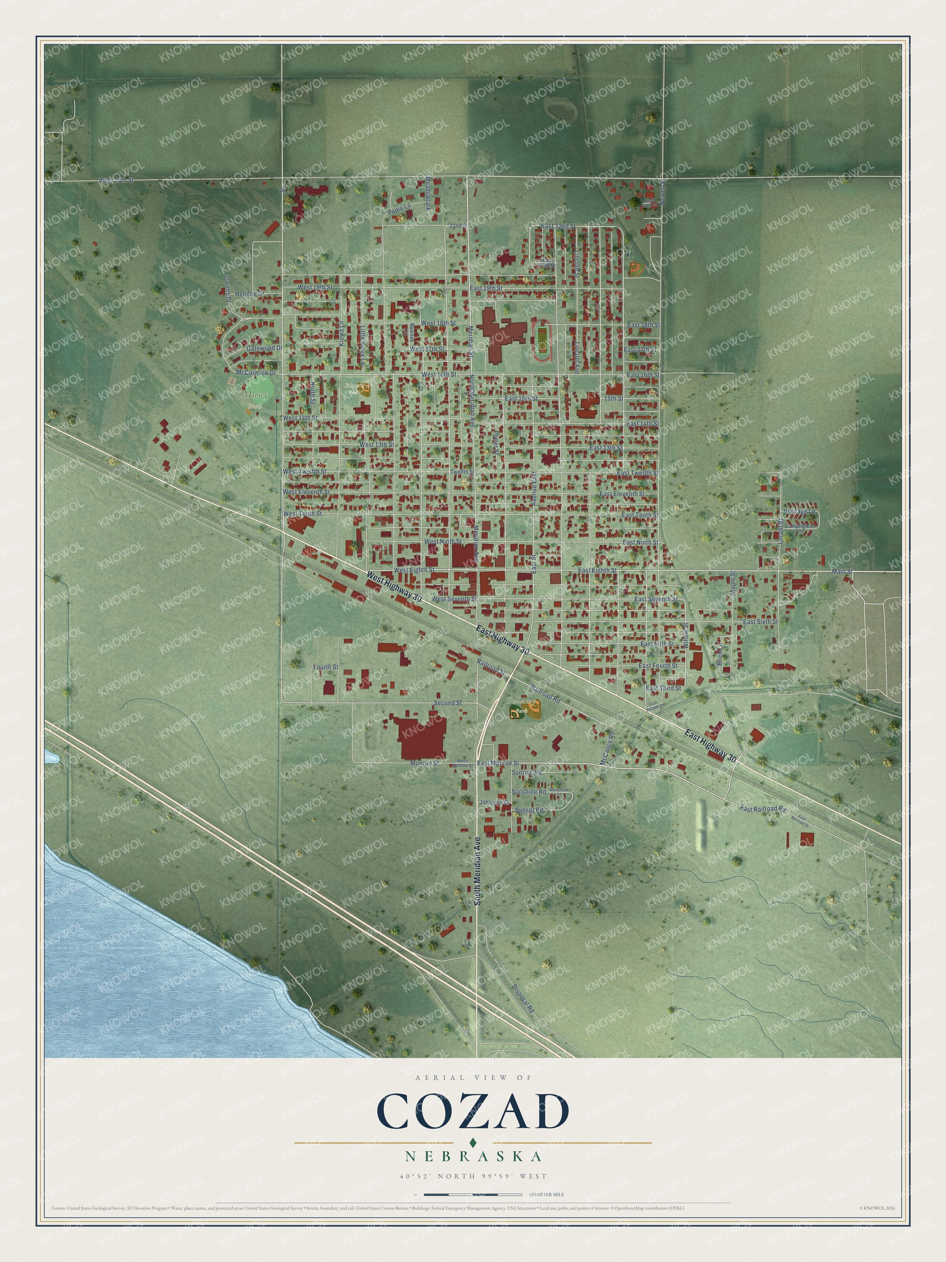
This beautifully detailed map of Cozad, Nebraska was created in 2026 using aerial imagery combined with modern topographical, census, street and landmark data. It's a modern aerial view of Cozad in Dawson County, Nebraska, that combines modern data with a vintage aesthetic. The roads feature printed names, and if you look closely you can find your exact house accurately shown in its correct location.
Explore an aerial view of Cozad, Nebraska
On this map you'll find Muny Park, Bellamy Park, Ethan's Park, East Highway 30, West Highway 30, South Meridian Avenue, East Monroe Street, Meridian Street, Main Street, Willow Street, West 16th Street, Second Street, and more. Each red shape is a building, so zoom in on the preview and look for yours.
Every town has a first chapter, and Cozad is no exception. The Andreas History of the State of Nebraska puts it this way: "During the year 1873, John J. Cozad came out from Ohio and bought of the Union Pacific Railroad Company, a tract of 40,000 acres of land, and made arrangements with the company to establish a depot here. He then returned to Ohio and organized a colony to come here and locate."
Cozad is a city in Dawson County. The Census Bureau counted 3,988 people here in 2020.
Take a closer look at the Cozad map
Names on this map
These names are printed on this map.
Places: Muny Park, Bellamy Park and Ethan's Park.
Streets and roads: East Highway 30, West Highway 30, South Meridian Avenue, East Monroe Street, Meridian Street, Main Street, Willow Street, West 16th Street, Second Street, East Seventh Street, Sunset Road, Kiowa Lane.
More street names, A to Z
15th Street, 22nd Street, Avenue East, Birch Lane, Disposal Road, East 13th Street, East 14th Street, East 15th Street, East 16th Street, East 17th Street, East 18th Street, East 19th Street, East 20th Street, East 22nd Street, East 23rd Street, East Eighth Street, East Eleventh Street, East Fifth Street, East Fourth Street, East Ninth Street, East Railroad Road, East Railroad Street, East Second Street, East Sixth Street, East Street, East Tenth Street, East Third Street, East Twelfth Street, Fourth Street, Gatewood Drive, Hendee Drive, Heritage Lane, Johansen Drive, Lamplighter Lane, Lincoln Avenue, Lincoln Street, Little Sioux Lane, Locust Street, Maple Street, McCance Road, McCormick Drive, Meadowlark, Meridian Avenue, Monroe Street, Newell Street, North Meridian Avenue, North Street, Owens Drive, Papio Lane, Pawnee Lane, Potter Street, Railroad Road, Railroad Street, Street, Sunrise Road, Sunshine Road, Sunshine Street, Twelfth Street, West 13th Street, West 14th Street, West 17th Street, West 18th Street, West 19th Street, West 24th Street, West Eighth Street, West Eleventh Street, West Monroe Street, West Ninth Street, West Seventh Street, West Tenth Street, West Twelfth Street.
Created by KNOWOL in 2026. The buildings are small red shapes, the roads carry their printed names, and shaded relief shows the shape of the land. The title panel reads "AERIAL VIEW OF COZAD NEBRASKA" with 40°52' NORTH 99°59' WEST.
Hang it in the hallway, the office or the cabin, or give it to someone who left Cozad and still calls it home. Open the preview and look for a street you know. See sizes and frames for the Cozad map.