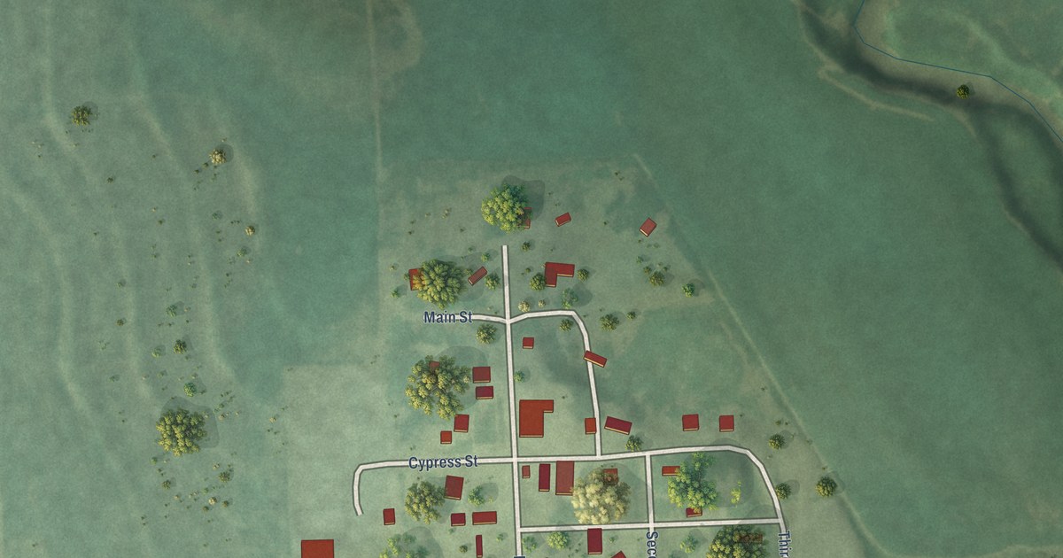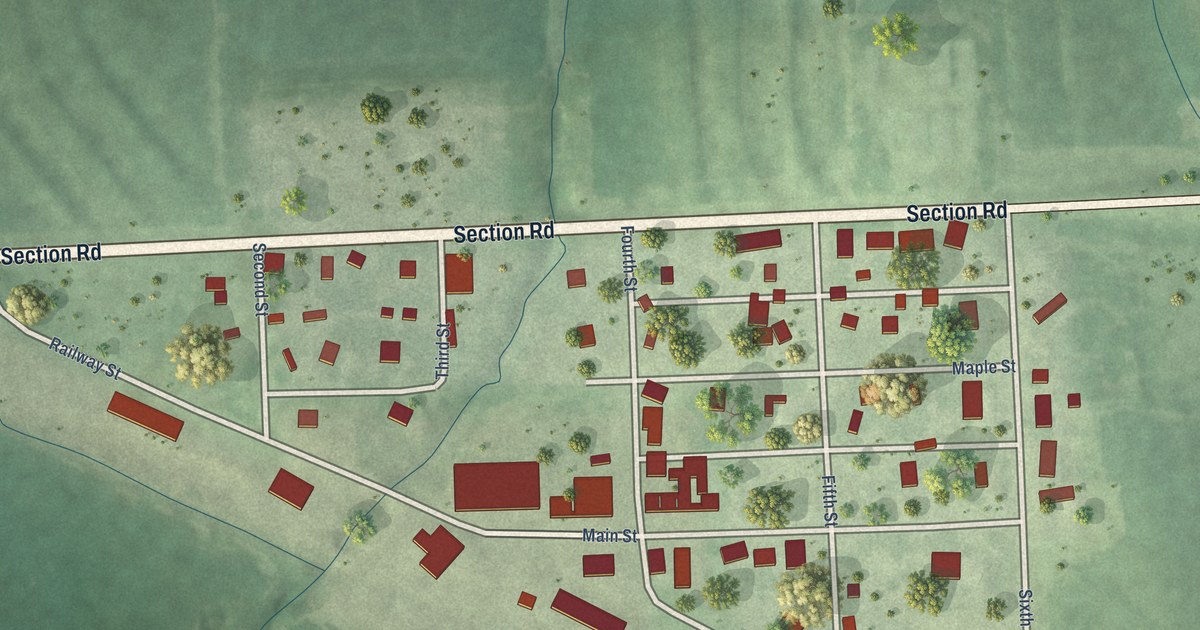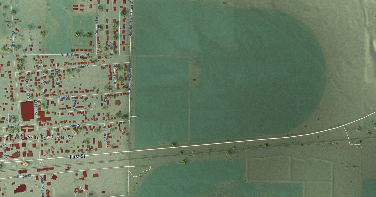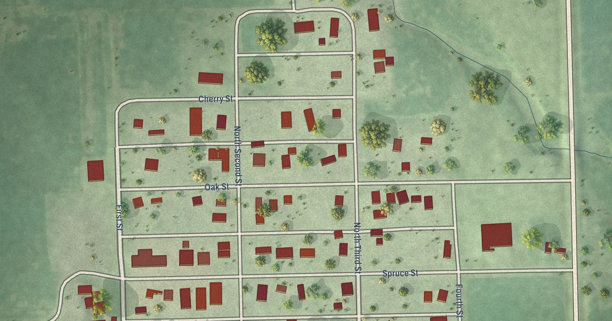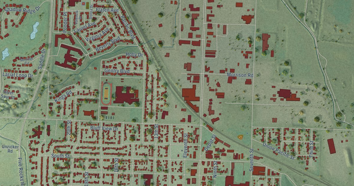
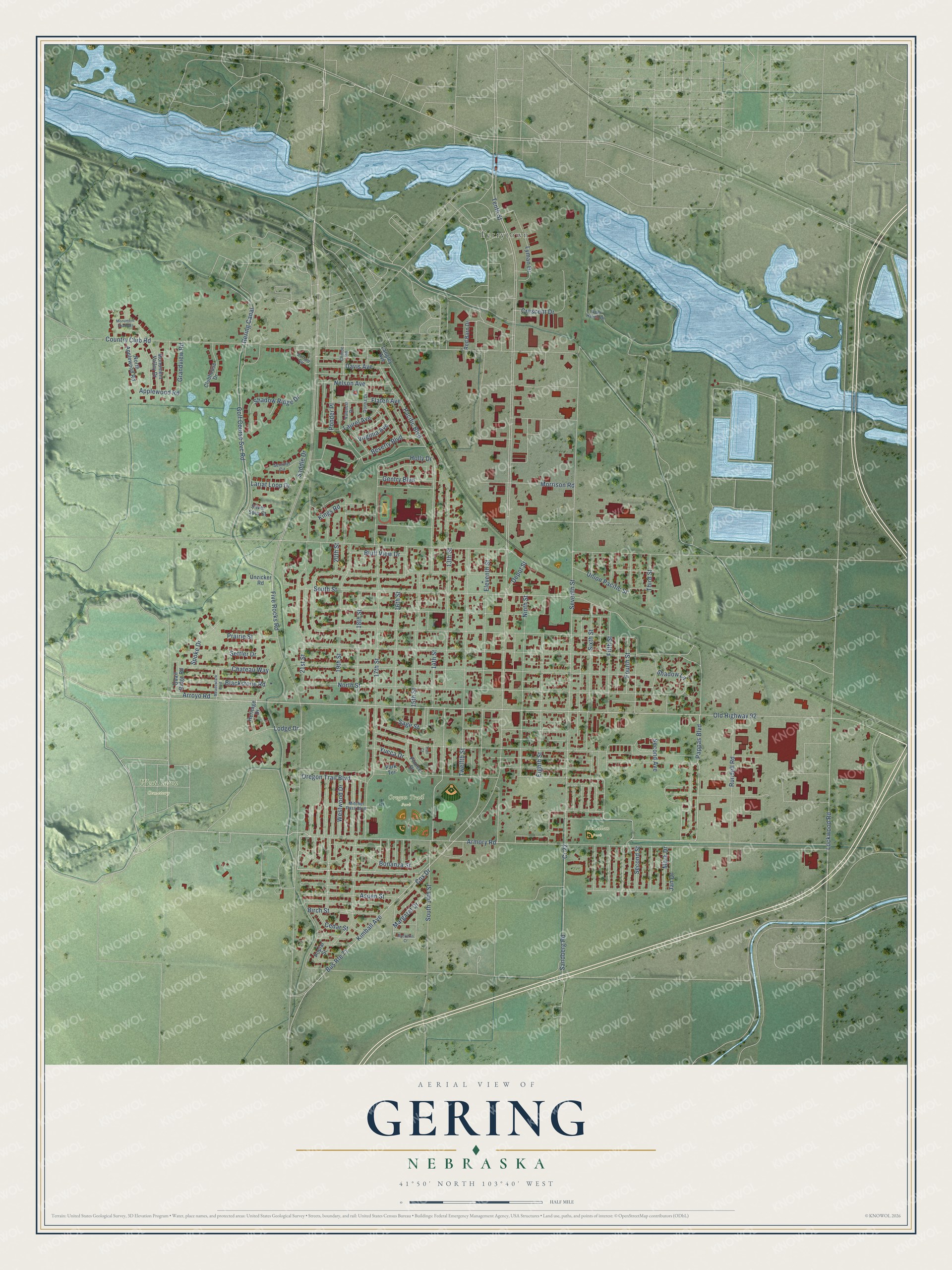
This beautifully detailed map of Gering, Nebraska was created in 2026 using aerial imagery combined with modern topographical, census, street and landmark data. It's a modern aerial view of Gering in Scotts Bluff County, Nebraska, that combines modern data with a vintage aesthetic. The roads feature printed names, and if you look closely you can find your exact house accurately shown in its correct location.
Explore an aerial view of Gering, Nebraska
On this map you'll find Oregon Trail Park, West Lawn Cemetery, McLellan Park, Terrytown, 21st Street, Pappas Boulevard, Fifth Street, Old Highway 92, Tenth Street, South Street, Seventh Street, Golf Course Svc Road, and more. Each red shape is a building, so zoom in on the preview and look for yours.
Here is a piece of Gering history, in the words of the record. The University of Nebraska puts it this way: "Gering. The town of Gering, in Gering precinct, was named in honor of Martin Gering, a Civil War veteran, banker, and member of the original town-site company formed in 1887."
Gering is a city in Scotts Bluff County. The Census Bureau counted 8,564 people here in 2020.
Take a closer look at the Gering map
Names on this map
These names are printed on this map.
Places: Oregon Trail Park, West Lawn Cemetery, McLellan Park and Terrytown.
Streets and roads: 21st Street, Pappas Boulevard, Fifth Street, Old Highway 92, Tenth Street, South Street, Seventh Street, Golf Course Svc Road, Armory Road, Kimball Avenue, Five Rocks Road, Lockwood Road.
More street names, A to Z
13th Street, 14th Street, 15th Street, 16th Street, 17th Street, 18th Street, 19th Street, 20th Street, Applewood Road, Arroyo Road, Aspen Street, Beverly Boulevard, Birch Street, Blackstone Road, Bluff View Drive, Bonanza Street, Buckskin Court, Buffalo Circle, Bus Route 71, Cedar Street, Chateau Way, Chinoe Road, Clubhouse Drive, Country Club Road, Cox Drive, Cr 22, Crescent Drive, Davis Avenue, Deer Haven Drive, Depot Street, Donna Drive, Eighth Street, Eleventh Street, Flaten Avenue, Fourth Street, Gentry Boulevard, Gering Canal, Grandview Road, Heritage Drive, Holly Drive, Jan Drive, Kings Road, Langley Avenue, Lariat Loop Drive, Laurel Avenue, Lodge Drive, Lyman Drive, Margaret Drive, Mark Drive, Meadowlark Boulevard, Mitchel Pass Boulevard, Monument Shadows, Monument Valley Drive, Morrison Road, Nelson Avenue, Ninth Street, North Applewood Road, North Street, Oregon Trail Boulevard, Pacific Boulevard, Park Terrace, Pioneer Drive, Ponder Place, Poplar Street, Prairie Street, Quail Ridge Road, Red Barn Drive, Rundell Road, Saddle Drive, Sage Street, Sandberg Road, Second Avenue, Second Street, Sentinel Circle, Settler Drive, Shadow Lane, Shadow Ridge Drive, Silver Spur Court, Sixth Street, South 14th Street, Spoke Drive, Third Street, Trail Court, Twelfth Street, Union Pacific Street, Unzicker Road, Valencia Drive, Virginia Avenue, Westwood Drive, Yucca Drive.
Created by KNOWOL in 2026. The buildings are small red shapes, the roads carry their printed names, and shaded relief shows the shape of the land. The title panel reads "AERIAL VIEW OF GERING NEBRASKA" with 41°50' NORTH 103°40' WEST.
It suits a den, a classroom or a front hall, and it makes a gift for anyone with Gering roots. Open the preview and find the block you know. See sizes and frames for the Gering map.