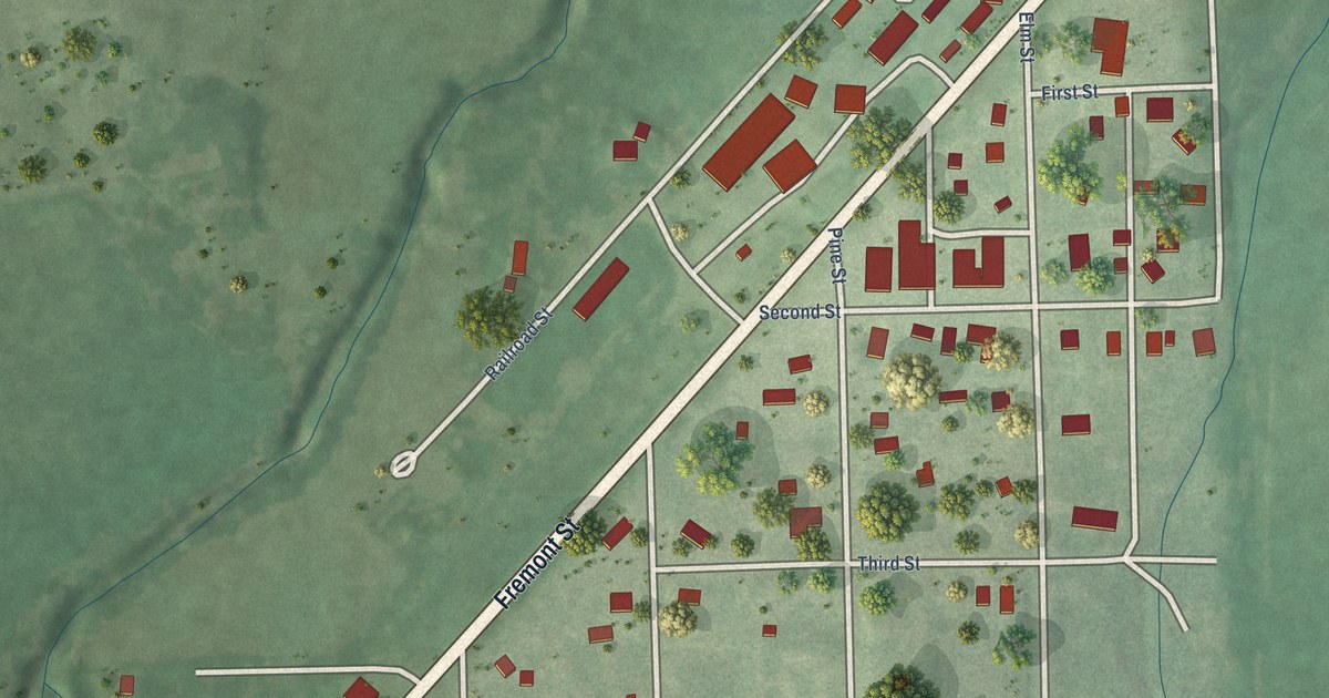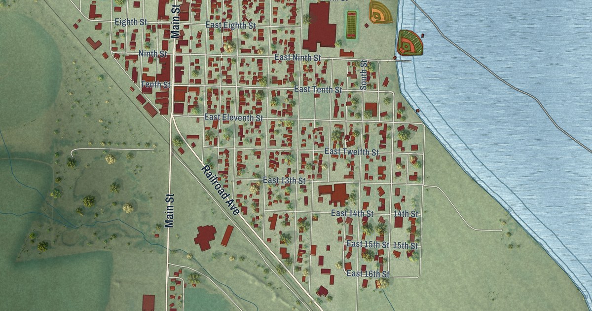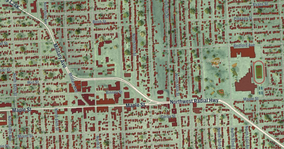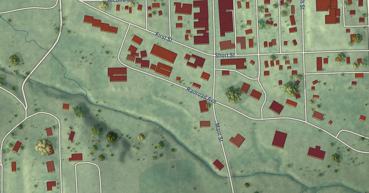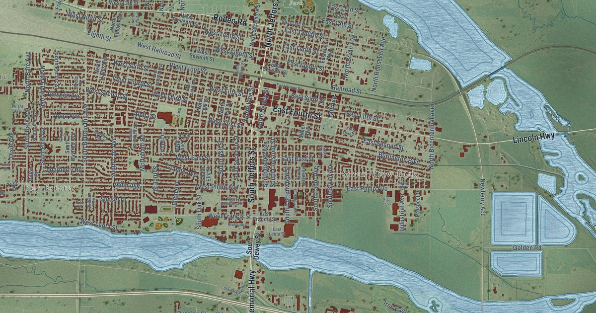
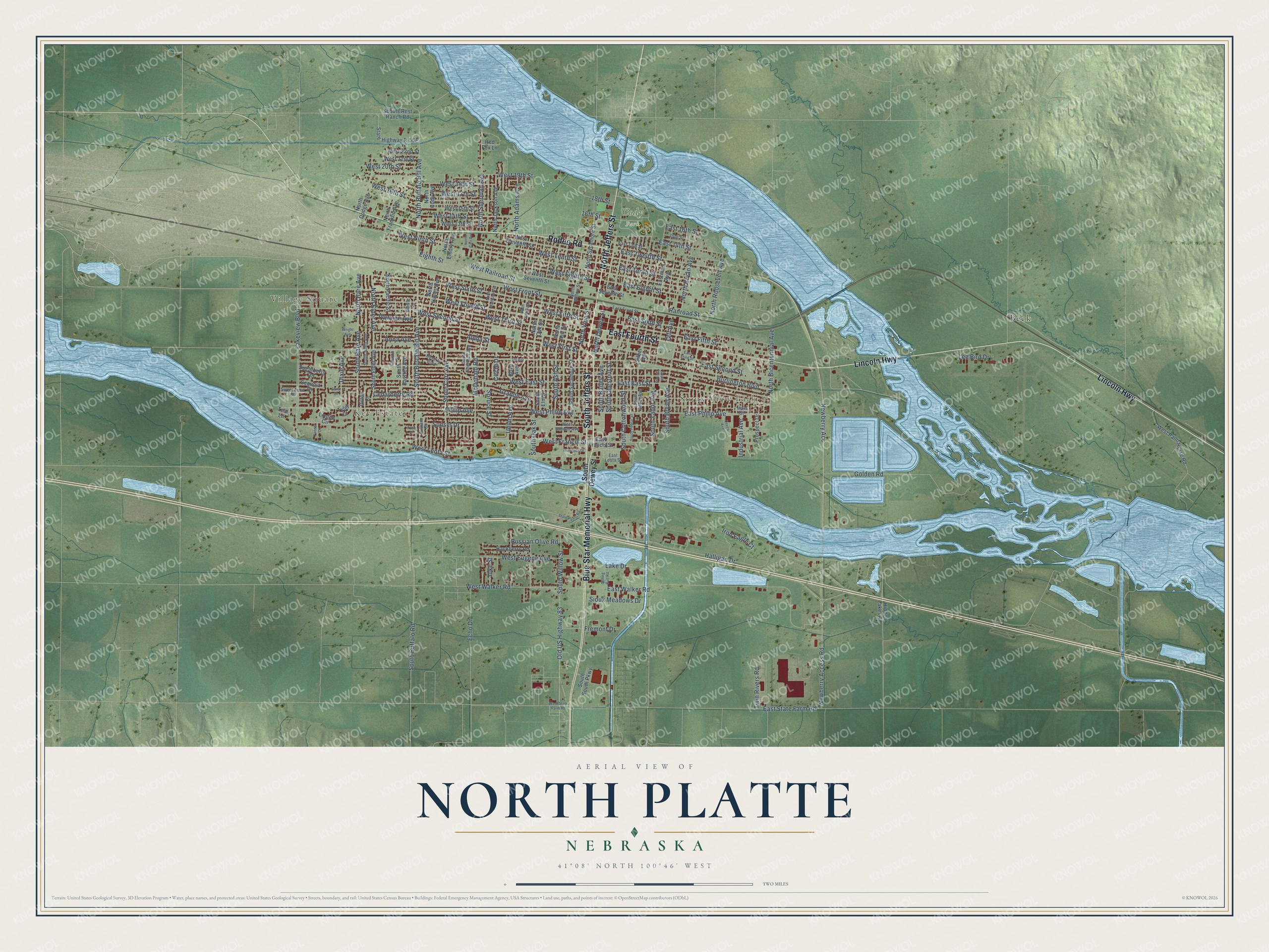
This beautifully detailed map of North Platte, Nebraska was created in 2026 using aerial imagery combined with modern topographical, census, street and landmark data. It’s a one-of-a-kind view of North Platte that combines accurate data with a vintage aesthetic. The map shows every building in its true location, many of the roads carry their names, and the shaded topographic relief shows the shape of the land.
Explore an aerial view of North Platte, Nebraska
On the map you’ll find Village Square, Key Estates, Sioux View Park, Cody Park, and Beck, along with Rodeo Road, Lincoln Highway, North Jeffers Street, East Fourth Street, Blue Star Memorial Highway, South Jeffers Street, South Chestnut Street, and more. If you look closely you can even find your house accurately drawn in its correct location. Zoom in on the preview to look for yours.
Did you know this piece of North Platte, Nebraska history?
From the University of Nebraska: "The town of North Platte was laid out for the Union Pacific railroad by General G. M. Dodge in November, 1866. It is situated on the North Platte river, hence its name."
Take a closer look at the North Platte map
Street and place names on the North Platte, Nebraska map
These names are printed on the map of North Platte, Nebraska.
Places: Village Square, Key Estates, Sioux View Park, Cody Park and Beck.
Streets and roads: Rodeo Road, Lincoln Highway, North Jeffers Street, East Fourth Street, Blue Star Memorial Highway, South Jeffers Street, South Chestnut Street, East Twelfth Street, Newberry Acc, Eighth Street, South Tabor Avenue, West Eighth Street.
More street names, A to Z
15th Street, 16th Street, 18th Street, Alpha Street, Anna Avenue, Beverly Boulevard, Boyd Avenue, Burlington Boulevard, Cedarberry Road, Church Street, Circle Drive, Devco Avenue, Dillon Court, Dixie Avenue, East 13th Street, East 14th Street, East 16th Street, East East Street, East Eighth Street, East Fifth Street, East Francis Street, East Front Street, East Leota Street, Eastman Avenue, East Philip Avenue, East Second Street, East Seventh Street, East Sixth Street, East State Farm Road, East Tenth Street, East Third Street, East Walker Road, Echo Drive, Edna Court, Fremont Drive, Golden Road, Grande Avenue, Hackberry Road, Halligan Drive, Henry, Hidden Lakes Road, Industrial Avenue, Ioke Street, Iron Eagle Court, Lake Drive, Lakeview Boulevard, Lee Bird Drive, Linden Circle, Main Street, McDonald Road, Myrtle Street, Newberry Access Road, North Adams Avenue, North Ash Street, North Bare Avenue, North Bicentennial Avenue, North Bryan Avenue, North Buffalo Bill Avenue, North Carr Avenue, North Cody Avenue, North Dewey Street, North Dodge Avenue, North Elder Avenue, North Emory Avenue, North Franklin Avenue, North Grant Avenue, North Hayes Avenue, North Jackson Avenue, North Madison Avenue, North Oak Street, North Pacific Street, North Roosevelt Avenue, North Sheridan Avenue, North Sycamore Street, North Vine Street, North Willow Street, Old US Highway 83, Pawnee Avenue, Philip Avenue, Prospect Drive, Railroad Street, Red Fox Lane, Riverside Drive, Rose Court, Russian Olive Road, Scouts Rest Ranch Road, Sequoia Drive, Silber Avenue, Sioux Meadows Drive, Sitting Bull Road, South Allen Avenue, South Ash Street, South Bailey Avenue, South Bare Avenue, South Baytree Avenue, South Bryan Avenue, South Buffalo Bill Avenue, South Buffalo Road, South Carr Avenue, South Cottonwood Street, South Dewey Street, South Elder Avenue, South Elm Street, South Oak Street, South Poplar Street, South Sherman Avenue, South Silber Avenue, South South Parkway, South Sycamore Street, South Taft Avenue, South Willow Street, Spruce Street, State Patrol Road, Sugarberry Road, Sunset Drive, Sweetwood Court, Taft Avenue, Tanner Court, Teal Lane, Twin Rivers Road, Tyler Court, Union Avenue, West 13th Street, West 14th Street, West 15th Street, West 16th Street, West 17th Street, West 18th Street, West 19th Street, West 20th Street, West 21st Street, West 22nd Street, West East Street, West Eleventh Street, West Eugene Avenue, West Fifth Street, West First Street, West Fourth Street, West Francis Street, West Front Street, West Leota Street, West Ninth Street, West Paint Horse Road, West Philip Avenue, West Railroad Street, West Second Street, West Seventh Street, West Sixth Street, West State Farm Road, West Tenth Street, West Third Street, West Walker Road, West William Avenue, William Court, Wright Avenue.
See the North Platte, Nebraska map on a wall
The North Platte map as an 18 x 24 inch print in a black frame.

This beautifully detailed map of North Platte makes an attractive addition to your office, library, or den, and it can even be used to teach children the geography and history of the area. It also makes a great gift for anyone with North Platte roots. When you’re done exploring, click here to get your copy of the North Platte map.