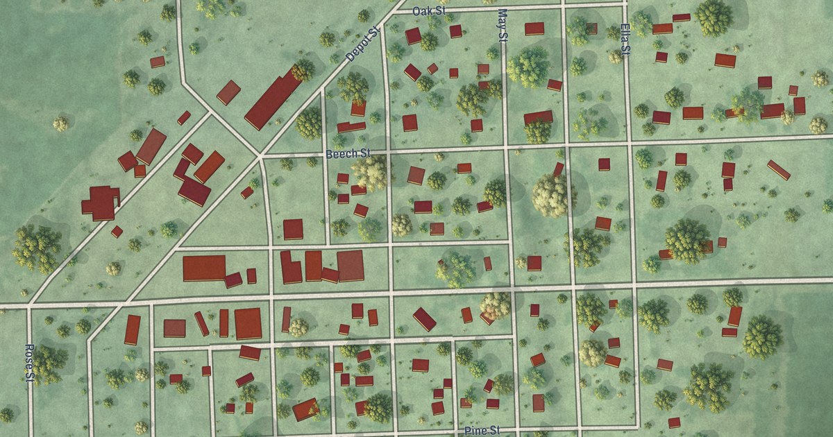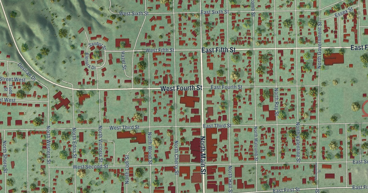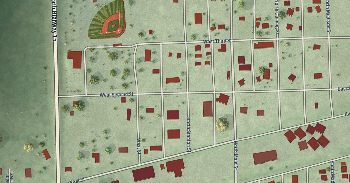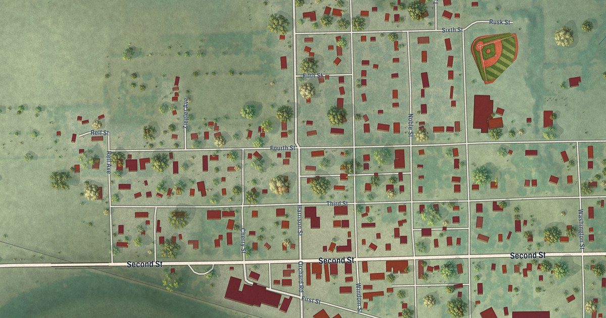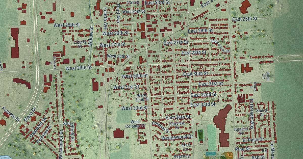
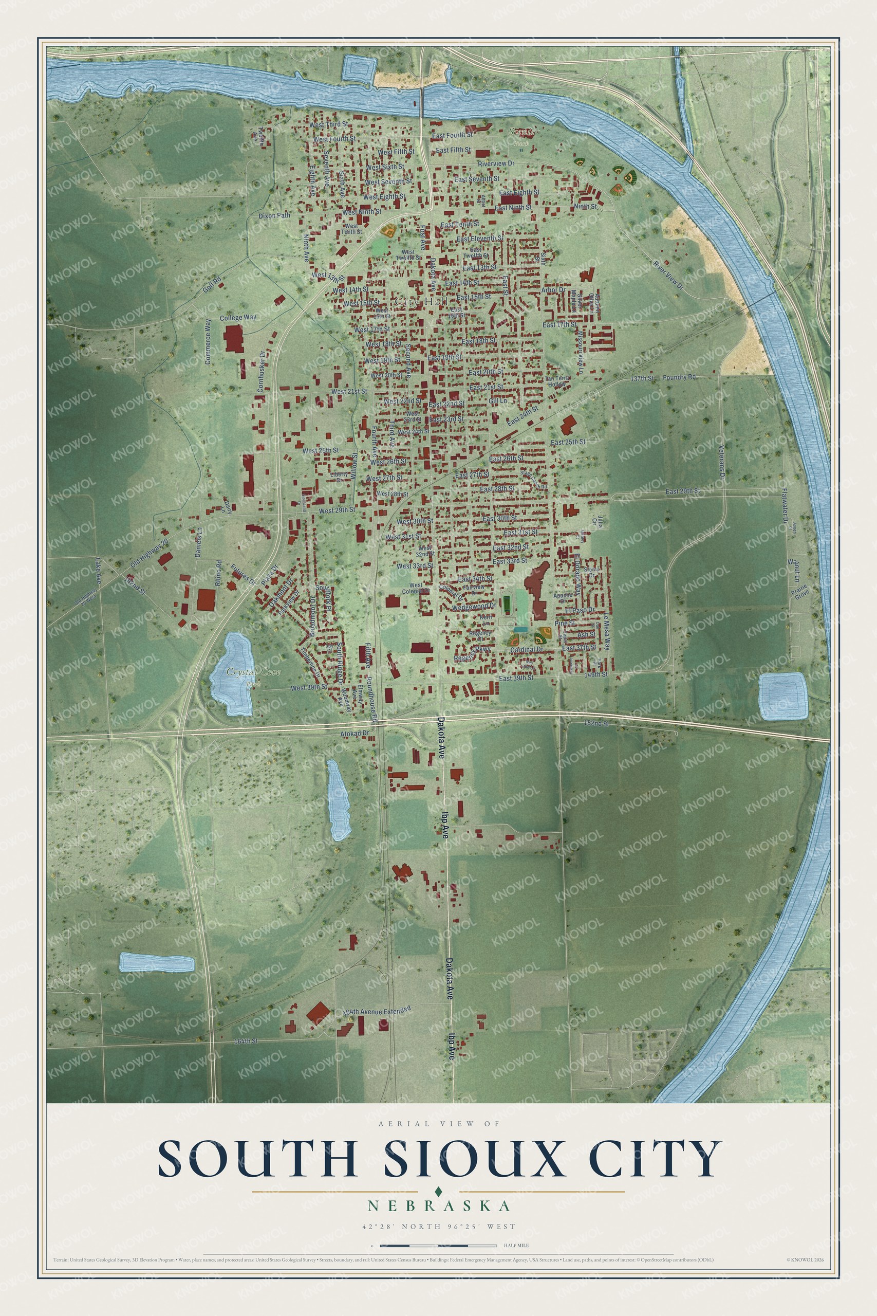
This beautifully detailed map of South Sioux City, Nebraska was created in 2026 using aerial imagery combined with modern topographical, census, street and landmark data. It's a modern aerial view of South Sioux City in Dakota County, Nebraska, that combines modern data with a vintage aesthetic. The roads feature printed names, and if you look closely you can find your exact house accurately shown in its correct location.
Explore an aerial view of South Sioux City, Nebraska
On this map you'll find City Hall, Crystal Cove Park, Scenic Park, Dakota Avenue, Ibp Avenue, Ninth Street, River View Drive, Riverview Drive, Arbor Drive, Veterans Drive, East 15th Street, West 13th Street, and more. Each red shape is a building, so zoom in on the preview and look for yours.
Every town has a first chapter, and South Sioux City is no exception. The Internet Archive puts it this way: "The town
was situated about where South Sioux City is now built,
in township 29, range 9, east, and was incorporated
June 7, 1858, with the following trustees: H."
South Sioux City is a city in Dakota County. The Census Bureau counted 14,043 people here in 2020.
Take a closer look at the South Sioux City map
Names on this map
These names are printed on this map.
Places: City Hall, Crystal Cove Park and Scenic Park.
Streets and roads: Dakota Avenue, Ibp Avenue, Ninth Street, River View Drive, Riverview Drive, Arbor Drive, Veterans Drive, East 15th Street, West 13th Street, East 13th Street, East 32nd Street, East 29th Street.
More street names, A to Z
137th Street, 142nd Street, 149th Street, 152nd Street, 164th Avenue Extended, 164th Street, Abbot Street, Apache Drive, Ash Street, Aspen Place, Atokad Drive, Autumn Olive Lane, Broadmoor Drive, Cardinal Drive, Cedar Street, College Way, Colonial Drive, Commerce Way, Cornhusker Drive, Crescent Lane, Dairy Lane, Daniels Lane, Dixon Path, East 14th Street, East 16th Street, East 17th Street, East 18th Street, East 19th Street, East 20th Street, East 21st Street, East 22nd Street, East 23rd Street, East 24th Street, East 25th Street, East 26th Street, East 27th Street, East 28th Street, East 30th Street, East 31st Street, East 33rd Street, East 34th Street, East 37th Street, East 39th Street, East Eighth Street, East Eleventh Street, East Fifth Street, East Fourth Street, East Ninth Street, East Seventh Street, East Street, East Tenth Street, East Twelfth Street, Eighth Avenue, El Dorado Way, Elmway Avenue, El Paso Drive, Fairview Drive, Fifth Avenue, First Avenue, Flatwater Drive, Foundry Road, Fourth Avenue, Futures Drive, Gill Lane, Golf Road, Joy Court, Julia Circle, Kerri Lane, Lake Avenue, Le Mesa Way, Liberty Drive, Matney Court, Missouri View Lane, Ninth Avenue, Oakmont Drive, Oak Street, Old Highway 20, Old Highway 20 West, Park Place, Parkview Drive, Pine Street, Plaza Drive, Prairie Grove, Red Bird Lane, Regency Court, Regency Parkway, Rhino Road, Roundhouse Road, Second Avenue, Seventh Avenue, Sierra Drive, Silver Maple Lane, Siouxland Drive, Sixth Avenue, Sixth Street, Southfork Place, South Ridge Drive, Stage Coach Road, Tan Terra Hollow, Third Avenue, Timberline Drive, Twelfth Avenue, Walnut Lane, Wedgewood Drive, West 14th Street, West 15th Street, West 16th Street, West 17th Street, West 18th Street, West 19th Street, West 20th Street, West 21st Street, West 22nd Street, West 23rd Street, West 24th Street, West 25th Street, West 26th Street, West 27th Street, West 28th Street, West 29th Street, West 30th Street, West 31st Street, West 32nd Street, West 33rd Street, West 39th Street, West Colonial Drive, West Eighth Street, West Fifth Street, West Fourth Street, West Ninth Street, West Seventh Street, West Sixth Street, West Tenth Street, West Third Street, West Twelfth Street, Willow Street, Woodway Avenue.
Created by KNOWOL in 2026. The buildings are small red shapes, the roads carry their printed names, and shaded relief shows the shape of the land. The title panel reads "AERIAL VIEW OF SOUTH SIOUX CITY NEBRASKA" with 42°28' NORTH 96°25' WEST.
Hang it in the hallway, the office or the cabin, or give it to someone who left South Sioux City and still calls it home. Open the preview and look for a street you know. See sizes and frames for the South Sioux City map.