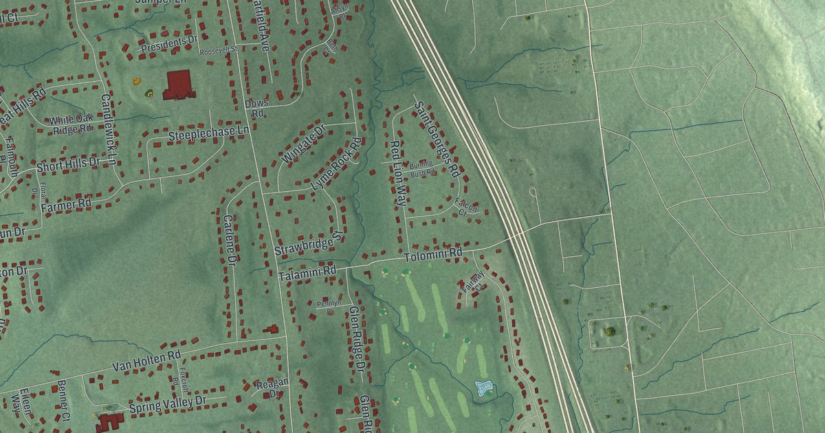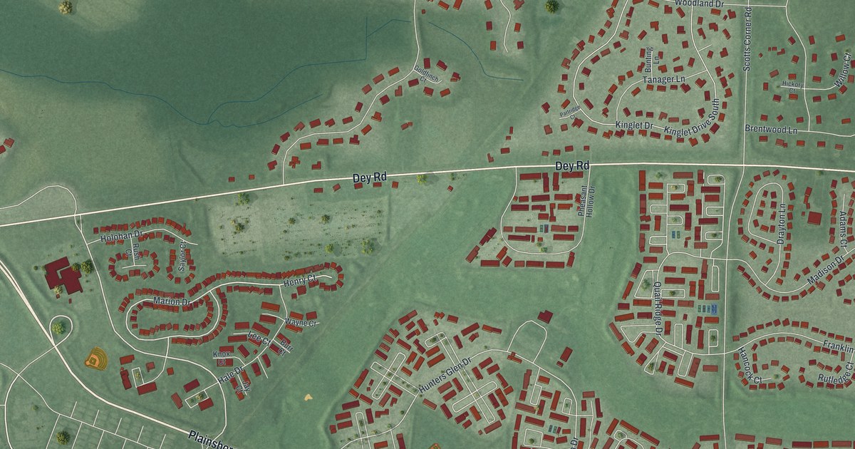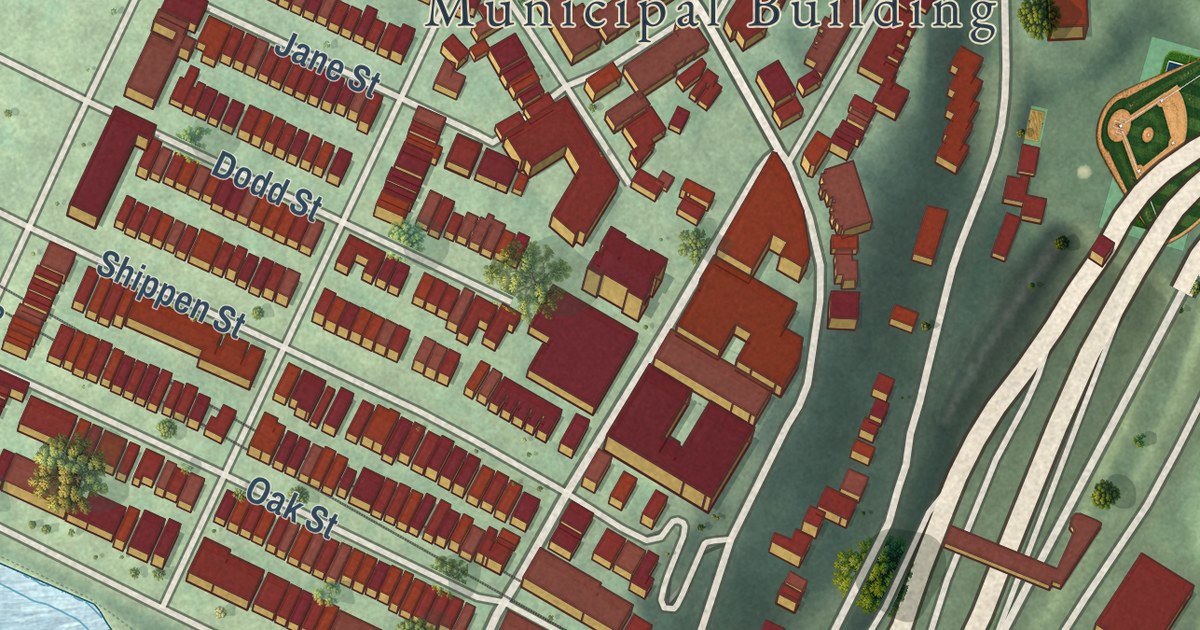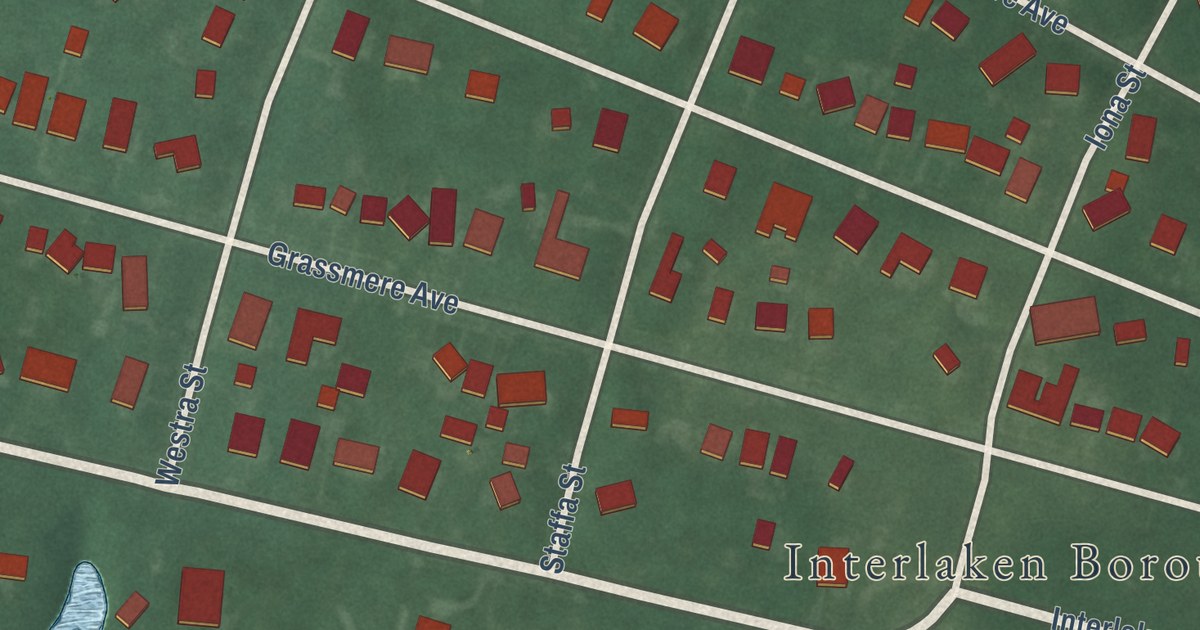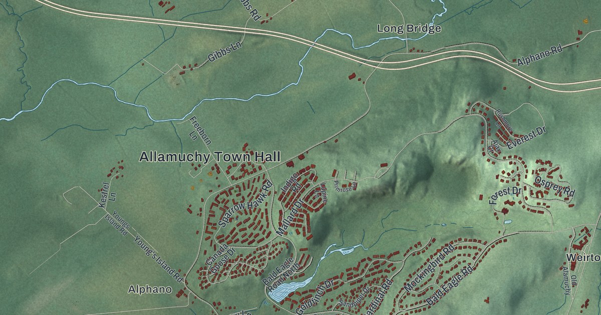
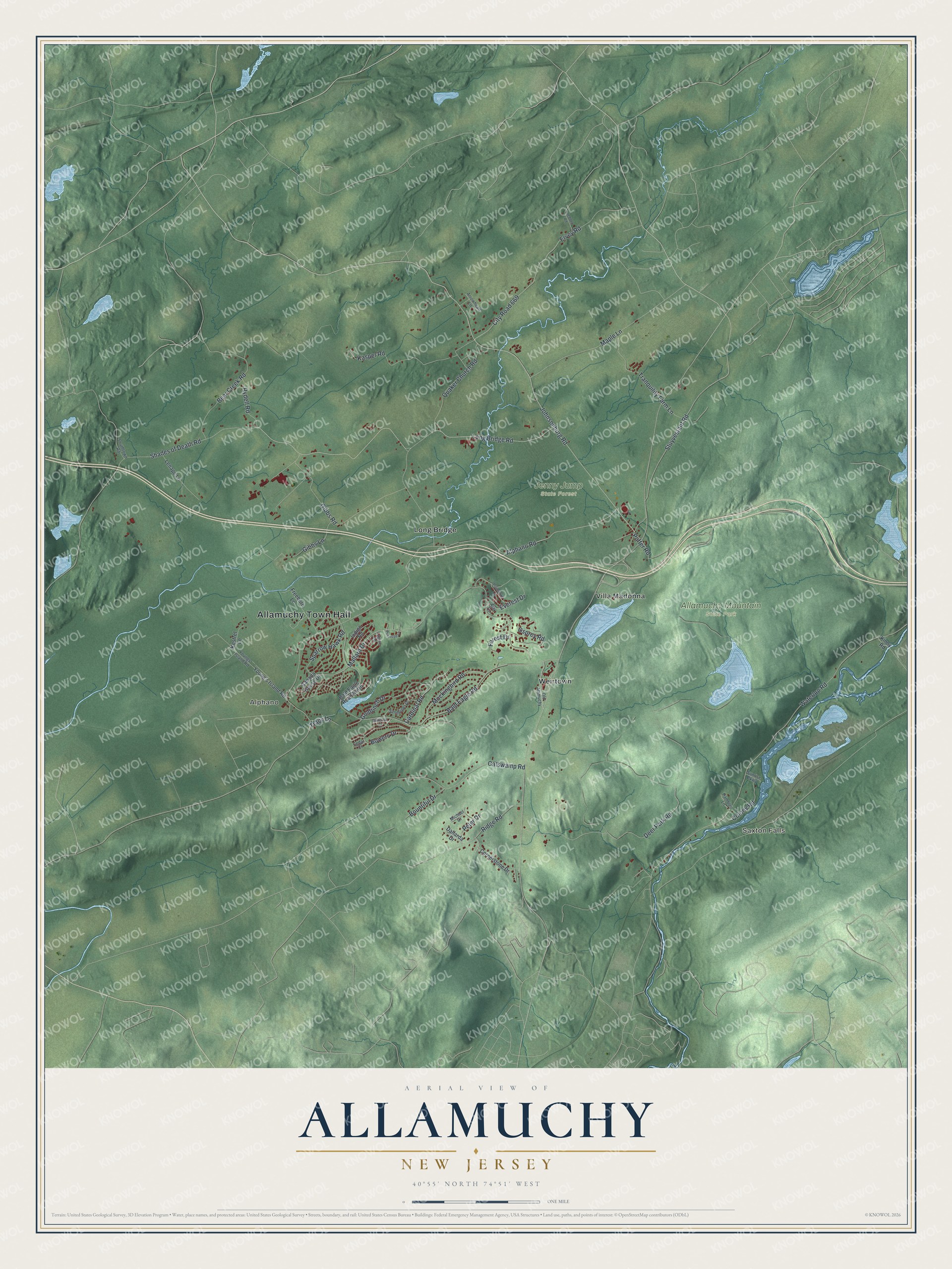
This beautifully detailed map of Allamuchy, New Jersey was created in 2026 using aerial imagery combined with modern topographical, census, street and landmark data. It’s a one-of-a-kind view of Allamuchy that combines accurate data with a vintage aesthetic. The map shows every building in its true location, many of the roads carry their names, and the shaded topographic relief shows the shape of the land.
Explore an aerial view of Allamuchy, New Jersey
On the map you’ll find Allamuchy Town Hall, Saxton Falls, Alphano, Allamuchy Mountain State Park, Jenny Jump State Forest, Long Bridge, Villa Madonna, and Weirtown, along with Shades of Death Road, Mallard Drive, Johnsonburg Road, Quaker Church Road, and more. If you look closely you can even find your house accurately drawn in its correct location. Zoom in on the preview to look for yours.
Did You Know?
Allamuchy was home to the Rutherfurd family estate. In 1865 Lewis Morris Rutherfurd made the first photographs of the Moon taken through a telescope, working at his estate home. Later Winthrop Rutherfurd built Rutherfurd Hall, completed in 1906. President Franklin D. Roosevelt visited as a guest. The hall opened to the public in 2012.
Take a closer look at the Allamuchy map
Names on this map
These names are printed on this map.
Places: Allamuchy Town Hall, Saxton Falls, Alphano, Allamuchy Mountain State Park, Jenny Jump State Forest, Long Bridge, Villa Madonna and Weirtown.
Streets and roads: Shades of Death Road, Mallard Drive, Johnsonburg Road, Quaker Church Road, Osprey Road, Alphano Road, Waterloo Road, Bald Eagle Road, Deer Park Road, Long Bridge Road, Gibbs Road, Catswamp Road.
More street names, A to Z
Ajax Court, Arrowhead Lane, Bald Eagle Road North, Bear Creek Road, Bountiful Drive, Bowers Drive, Butternut Court, Canada Goose Drive, Cardinal Road, Cedar Court, City Road 669, Colony Road, Cornerstone Drive, Dallarda Drive, Ervey Road, Everest Drive, Forest Drive, Freeborn Lane, Gibbs Lane, Goldfinch Drive, Hamblen Lane, Hedden Road, Indigo Road, Kasper Road, Kestrel Lane, Kinny Road, Lenape Lane, Lupine Lane, Maple Lane, Michael Drive, Mockingbird Road, Old Alamuchy, Peter Drive, Primrose Lane, Puffer Road, Ridge Road, Rushmore Lane, Rydell Road, Sandpiper Drive, Southtown Road, Sparrow Hawk Road, Stuyvestant Road, Sunrise Parkway, Tracy Lane, Tranquility Farm Lane, Young's Island Road, Youngs Island Road.
See it on a wall
The Allamuchy map as an 18 x 24 inch print in a black frame.

This beautifully detailed map of Allamuchy makes an attractive addition to your office, library, or den, and it can even be used to teach children the geography and history of the area. It also makes a great gift for anyone with Allamuchy roots. When you’re done exploring, click here to get your copy of the Allamuchy map.