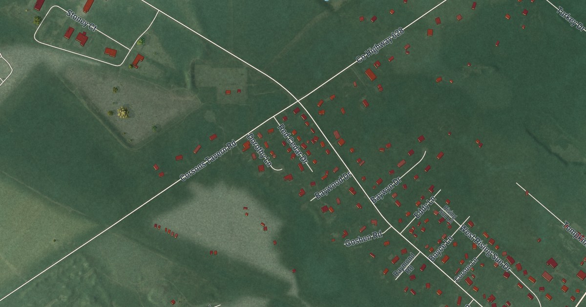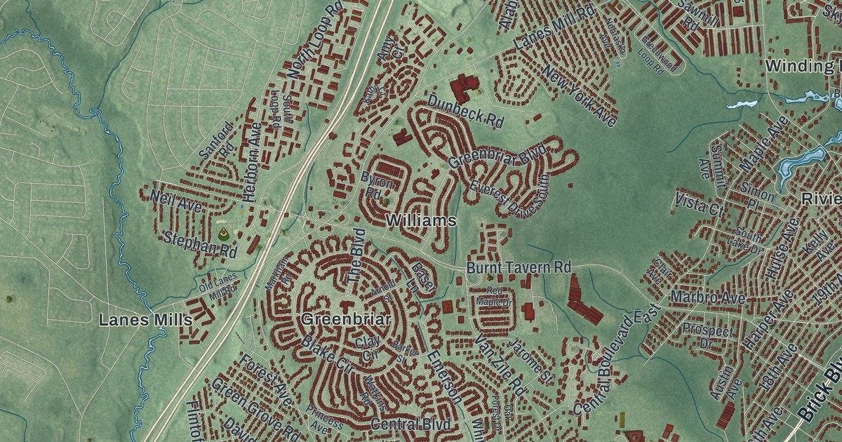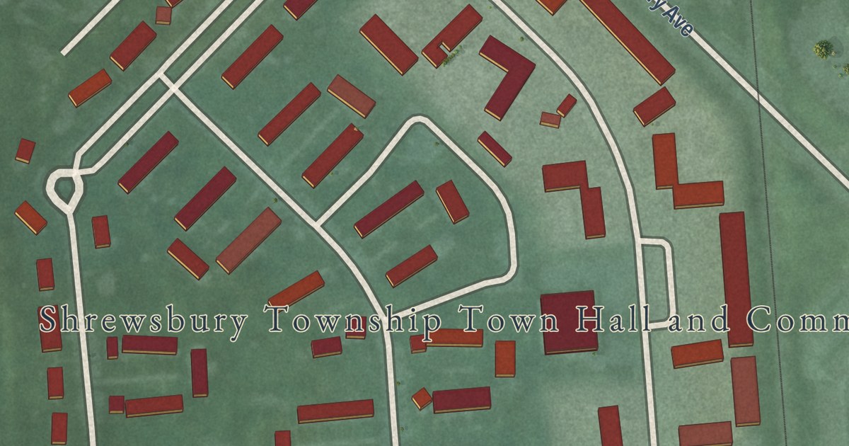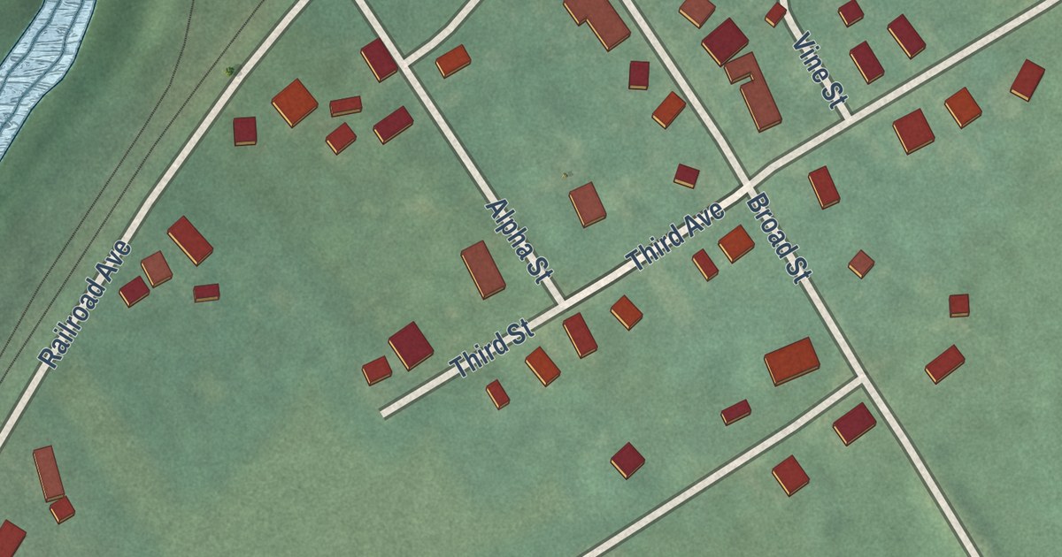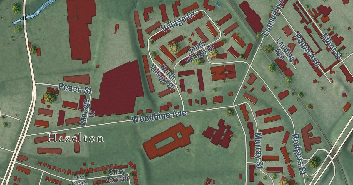
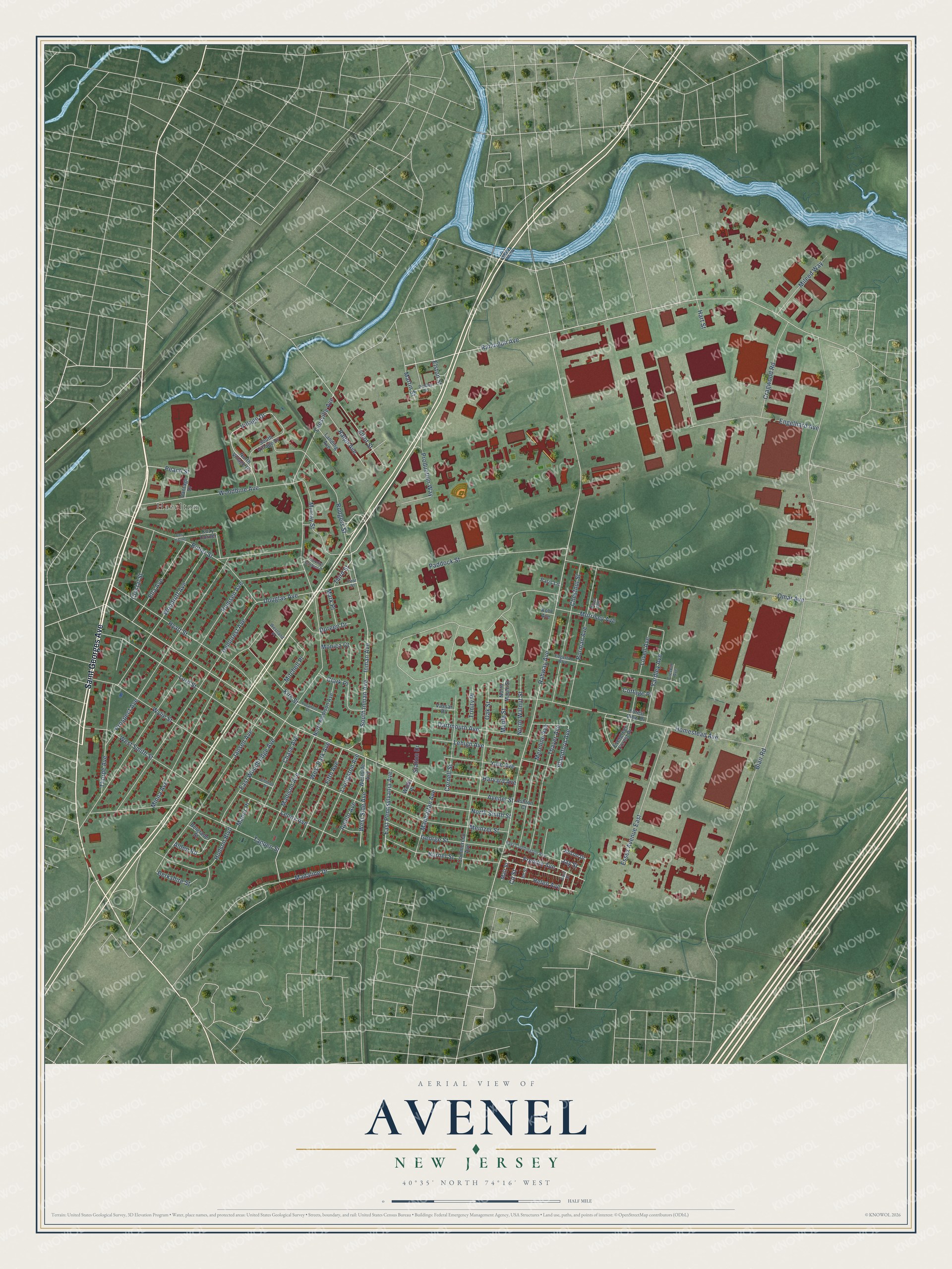
This beautifully detailed map of Avenel, New Jersey was created in 2026 using aerial imagery combined with modern topographical, census, street and landmark data. It’s a one-of-a-kind view of Avenel that combines accurate data with a vintage aesthetic. The map shows every building in its true location, many of the roads carry their names, and the shaded topographic relief shows the shape of the land.
Explore an aerial view of Avenel, New Jersey
On the map you’ll find Hazelton, along with Saint Georges Avenue, Madaline Drive, Prospect Avenue, Peach Street, Third Street, Randolph Avenue, Leesville Avenue, Douglas Avenue, Blandford Avenue, Alison Drive, Blair Road, and more. If you look closely you can even find your house accurately drawn in its correct location. Zoom in on the preview to look for yours.
Did You Know?
Avenel was established in 1901 in what is now Woodbridge Township. Before that the village was called Demarest on the Hill. Its founder was Captain Demarest, and the new name honored his daughter.
Take a closer look at the Avenel map
Names on this map
These names are printed on this map.
Places: Hazelton.
Streets and roads: Saint Georges Avenue, Madaline Drive, Prospect Avenue, Peach Street, Third Street, Randolph Avenue, Leesville Avenue, Douglas Avenue, Blandford Avenue, Blair Road, Rahway Avenue, Avenel Street.
More street names, A to Z
Alden Road, Alison Drive, Apollo Avenue, Ashton Court, Bd Street, Belgrade Street, Berkshire Street, Borman Avenue, Burnet Street, Butler Street, Cd Street, Chase Avenue, Chestnut Street, Clark Place, Clinton Place, Colonial Gardens Drive, Commercial Avenue, Cornell Street, Cosy Corner, Cottage Place, Cozy Corner, Cragwood Road, Creskill Avenue, Crystal Street, Dartmouth Avenue, Demorest Avenue, Doreen Drive, Dudley Court, East Coddington Avenue, East Pennsylvania Avenue, East Street, East Woodbridge Avenue, Edgerton Boulevard, Ella Avenue, Elliot Street, Elston Street, Engelhard Avenue, Essex Avenue East, Evergreen Forest Drive, Fifth Avenue, First Street, Forest View Drive, Freddie Avenue, George Street, Hart Street, Harvard Avenue, Helen Avenue, Homestead Avenue, Hudson Boulevard, Hyatt Street, Inman Avenue, Jansen Avenue, Jay Street, Kirk Street, Kohl Avenue, Landing Avenue, Lehigh Avenue, Lenox Avenue, Livingston Avenue, Lord Street, Lovell Avenue, Madison Avenue, Manhattan Avenue, Manor Place, Maple Street, Mark Place, Martin Street, Matt Street, Meinzer Street, Mereline Avenue, Mileed Way, Minna Avenue, Mitchell Place, Monica Court, Morrisey Avenue, Murray Street, North Madison Avenue, North Maple Street, North Smith Street, North Village Drive, North Walnut Street, Oak Street, Omar Avenue, Paddock Street, Paris Lane, Piper Avenue, Pocahont Place, Production Way, Ralph Avenue, Remsen Avenue, Rodgers Street, South Inman Avenue, South Village Drive, Station Drive, Tappen Street, Thayer Avenue, Thorpe Avenue, Trinity Place, Vantage Drive, Vassar Place, Village Drive, Westland Place, West Park Avenue, West Side Avenue, Westside Avenue, West Smith Street, Wolfe Place, Woodbine Avenue, Woodruff Avenue, Wylie Street, Yale Avenue, Yardley Avenue.
See it on a wall
The Avenel map as an 18 x 24 inch print in a black frame.

This beautifully detailed map of Avenel makes an attractive addition to your office, library, or den, and it can even be used to teach children the geography and history of the area. It also makes a great gift for anyone with Avenel roots. When you’re done exploring, click here to get your copy of the Avenel map.