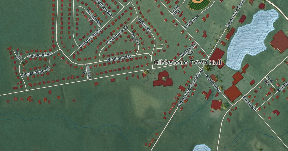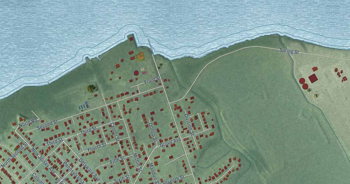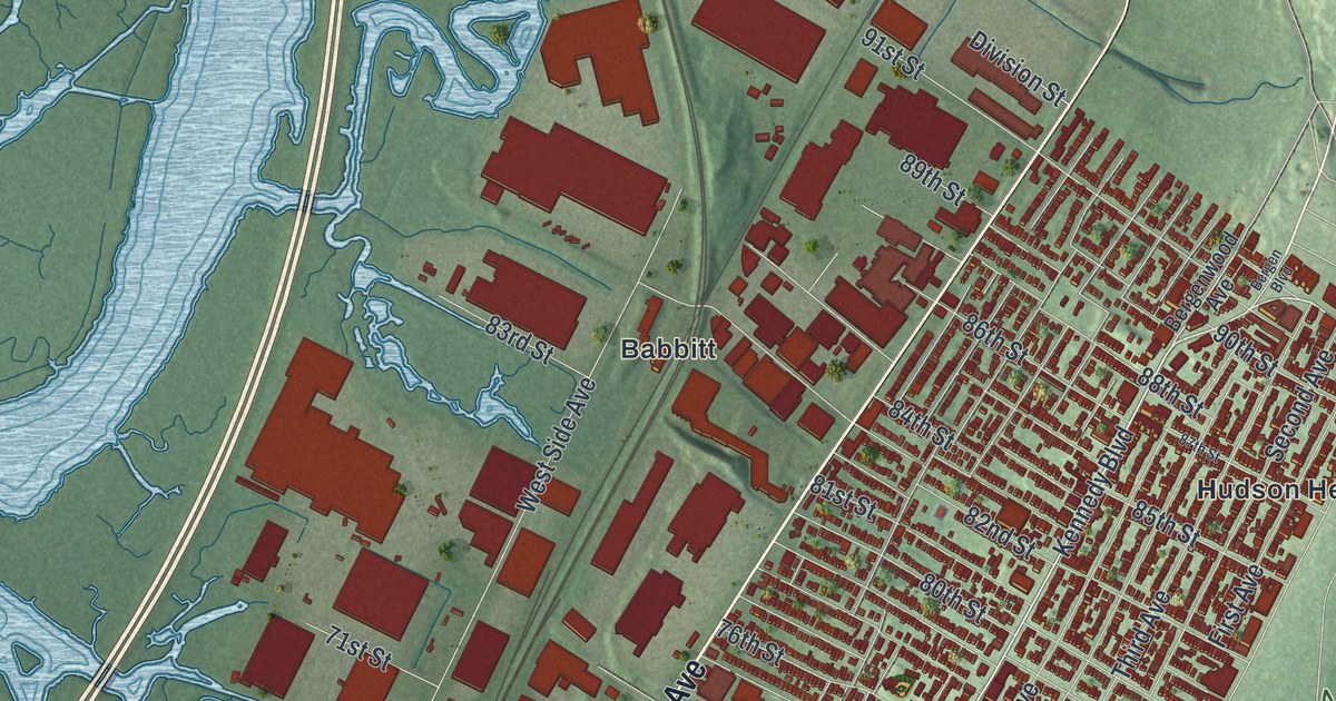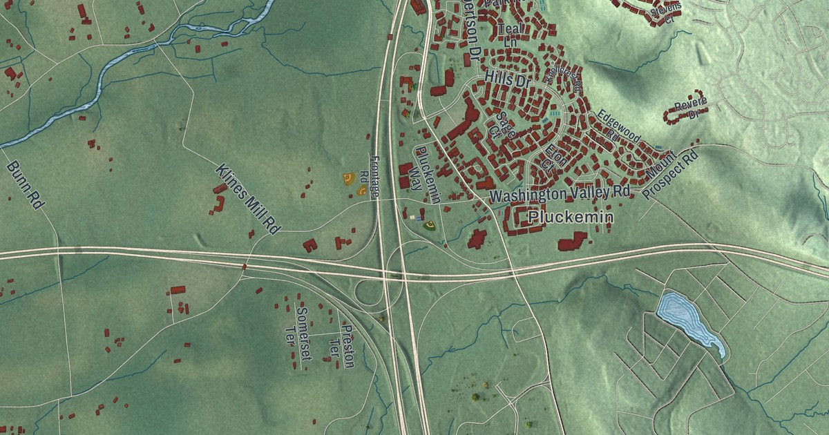
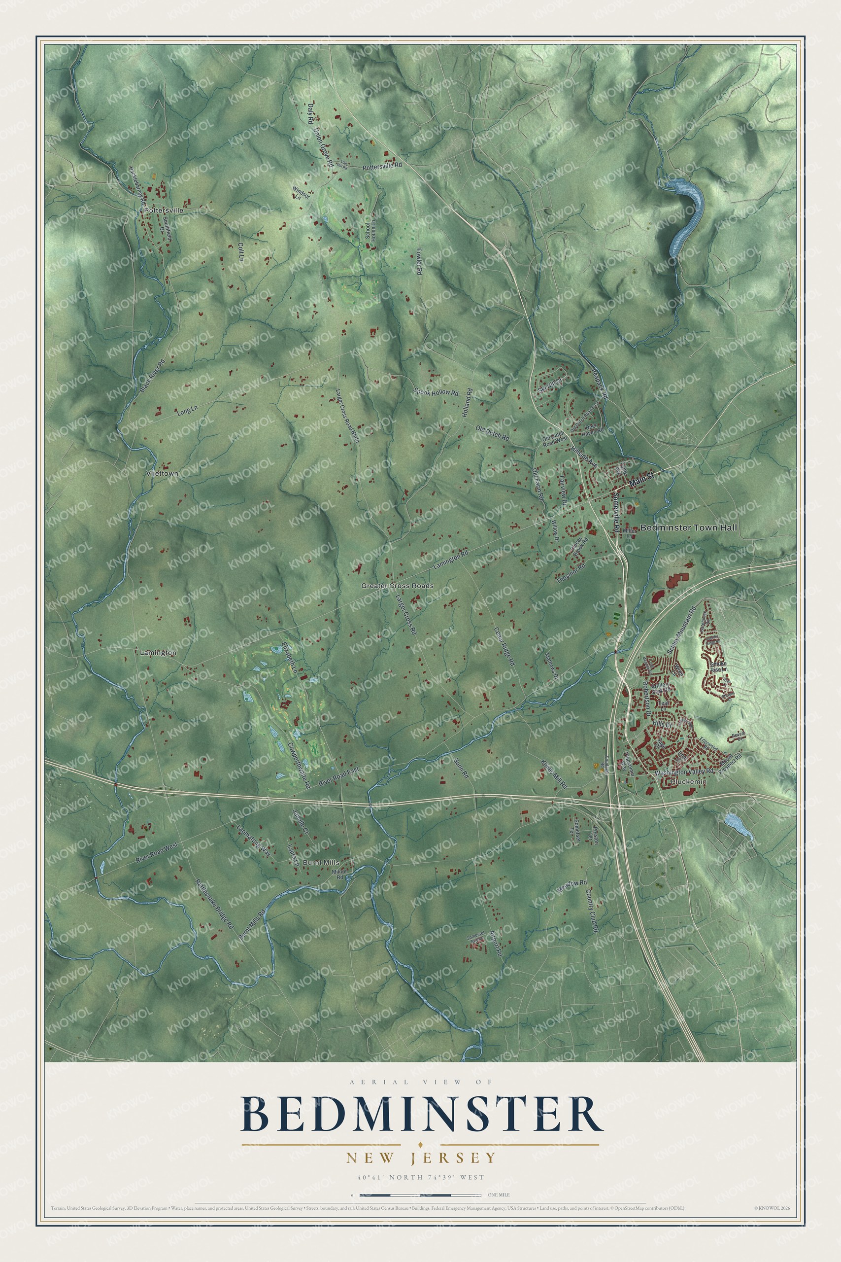
This beautifully detailed map of Bedminster, New Jersey was created in 2026 using aerial imagery combined with modern topographical, census, street and landmark data. It’s a one-of-a-kind view of Bedminster that combines accurate data with a vintage aesthetic. The map shows every building in its true location, many of the roads carry their names, and the shaded topographic relief shows the shape of the land.
Explore an aerial view of Bedminster, New Jersey
On the map you’ll find Bedminster Town Hall, Pluckemin, Burnt Mills, Greater Cross Roads, Lamington, Pottersville, and Vliettown, along with Main Street, Peapack Road, Hillside Avenue, Long Lane, Lamington Road, and more. If you look closely you can even find your house accurately drawn in its correct location. Zoom in on the preview to look for yours.
Did You Know?
The community of Bedminster lies in Bedminster Township, which Dutch, German and Scots-Irish immigrants settled in 1710. The township was named for Bedminster in Somerset, England, which is now part of Bristol. A royal charter created the township in 1749.
Take a closer look at the Bedminster map
Names on this map
These names are printed on this map.
Places: Bedminster Town Hall, Pluckemin, Burnt Mills, Greater Cross Roads, Lamington, Pottersville, Vliettown and Somerset Airport.
Streets and roads: Main Street, Peapack Road, Hillside Avenue, Long Lane, Lamington Road, Black River Road, Old Dutch Road, Schley Mountain Road, Elizabeth Lane, Cowperthwaite Road, Burnt Mills Road, Larger Cross Road.
More street names, A to Z
Airport Road, Artillery Park Road, Autumn Ridge Road, Bunn Road, Cedar Ridge Road, Clucas Brook Road, Colt Lane, Country Club Road, Daly Road, Deer Haven Road, Edgewood Road, Eton Court, Fairview Drive, Fowler Road, Frontage Road, Gatehouse Road, Hacklebarney Road, Hills Drive, Holland Road, Hyde Court, Janelle Court, Klines Mill Road, Knollcrest Road, Laomatong Way, Larger Cross Road North, Laura Lane, Lisk Hill Road, Long Meadow Road, Mathews Drive, Meadow Road, Miller Lane, Milnor Road, Mount Prospect Road, Old Dutch Road East, Old Dutch Road West, Old Farm Road, Pluckemin Way, Pottersville Road, Preston Terrace, Rattlesnake Bridge Road, Revere Drive, River Road East, River Road West, Robertson Drive, Sage Court, School House Lane, Ski Hill Drive, Smoke Rise Lane, Somerset Terrace, Somerville Road, Southfield Drive, Spook Hollow Road, Stevens Court, Teal Lane, Thosmor Road, Tuttle Avenue, Union Grove Road, Washington Valley Road, Willow Drive, Windsor Lane, Wren Lane.
See it on a wall
The Bedminster map as an 18 x 24 inch print in a black frame.

This beautifully detailed map of Bedminster makes an attractive addition to your office, library, or den, and it can even be used to teach children the geography and history of the area. It also makes a great gift for anyone with Bedminster roots. When you’re done exploring, click here to get your copy of the Bedminster map.