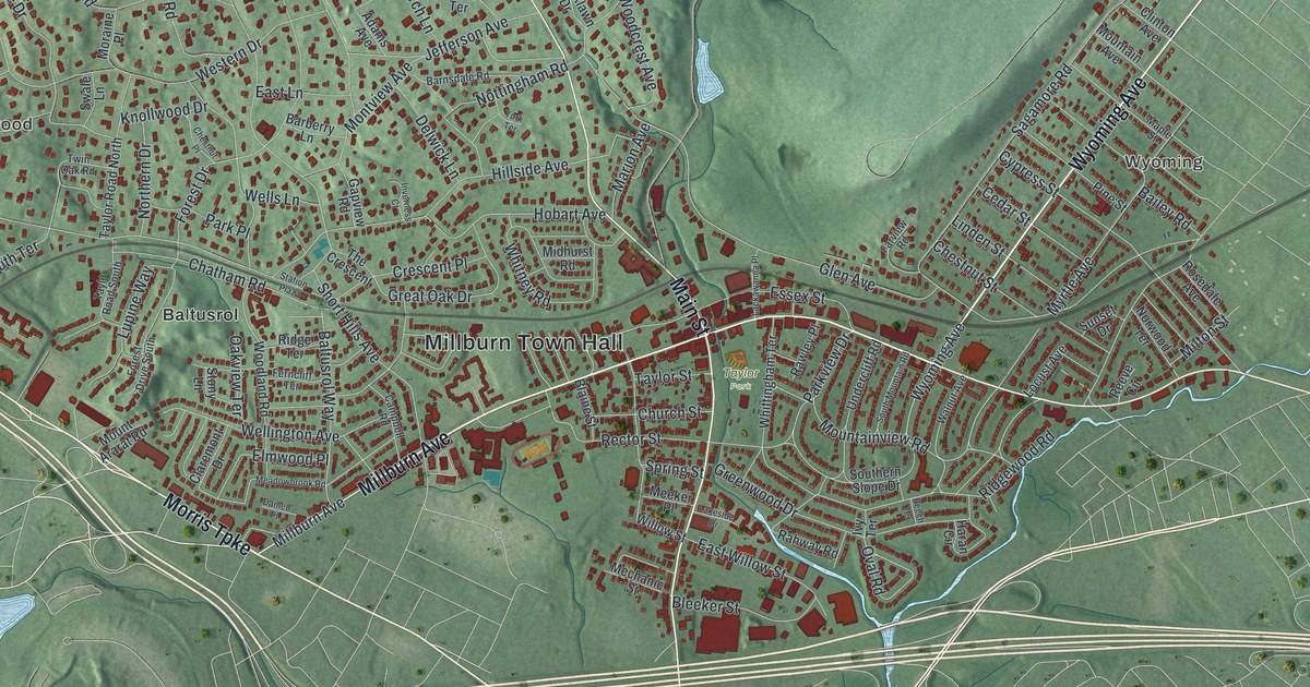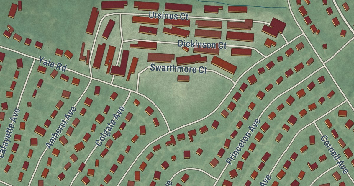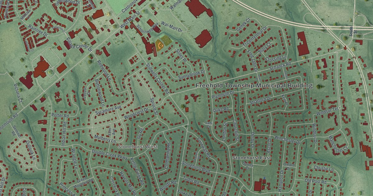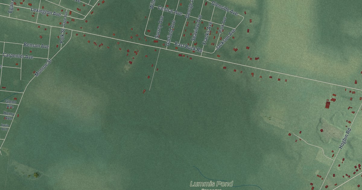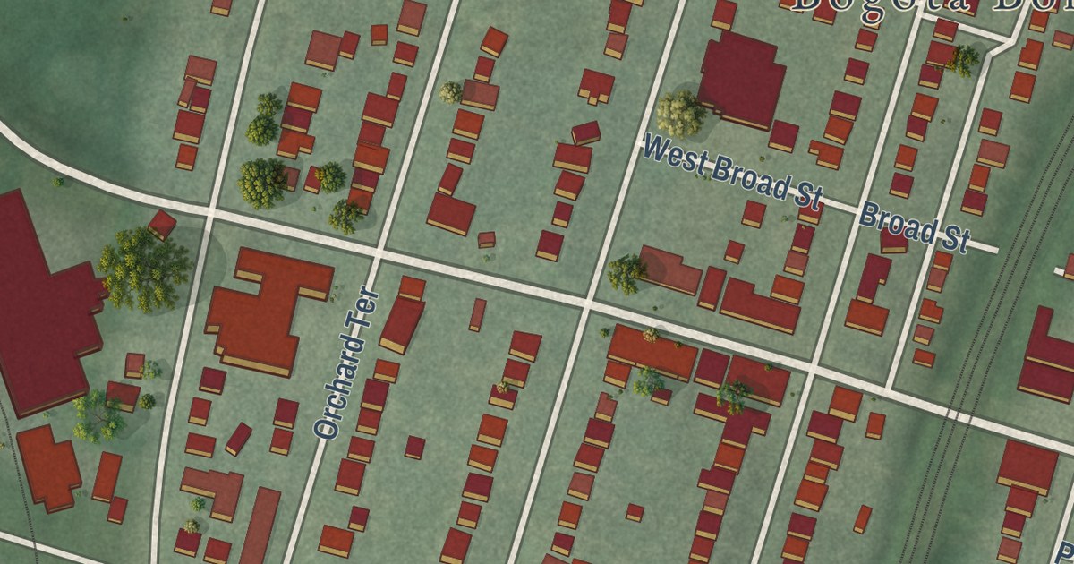
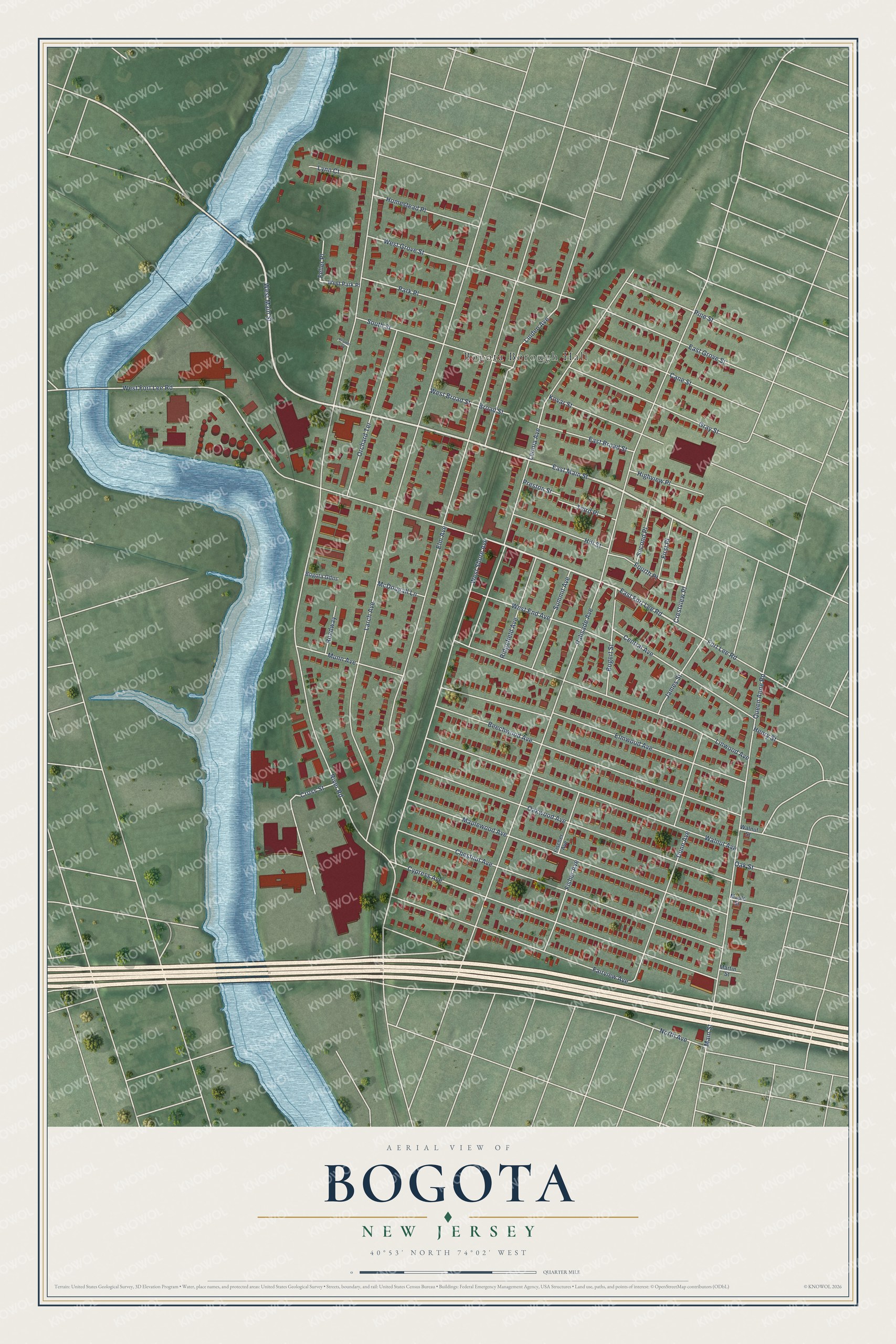
This beautifully detailed map of Bogota, New Jersey was created in 2026 using aerial imagery combined with modern topographical, census, street and landmark data. It’s a one-of-a-kind view of Bogota that combines accurate data with a vintage aesthetic. The map shows every building in its true location, many of the roads carry their names, and the shaded topographic relief shows the shape of the land.
Explore an aerial view of Bogota, New Jersey
On the map you’ll find Bogota Borough Hall and Crestview Place, along with West Main Street, East Main Street, East Fort Lee Road, River Road, Palisade Avenue, Elm Avenue, Larch Avenue, West Fort Lee Road, Leonia Avenue, West Shore Avenue, and more. If you look closely you can even find your house accurately drawn in its correct location. Zoom in on the preview to look for yours.
Did You Know?
Bogota was named for the Bogert family, the first European settlers in the area. Locals do not say it like the capital of Colombia, which stresses the last syllable. The borough formed on November 14, 1894, one of 26 new boroughs created in Bergen County that year.
Take a closer look at the Bogota map
Names on this map
These names are printed on this map.
Places: Bogota Borough Hall.
Streets and roads: West Main Street, East Main Street, Crestview Place, East Fort Lee Road, River Road, Palisade Avenue, Elm Avenue, Larch Avenue, West Fort Lee Road, Leonia Avenue, West Shore Avenue, Cypress Avenue.
More street names, A to Z
Beechwood Avenue, Bogert Street, Bogota Gdns, Broad Street, Cane Street, Central Avenue, Chestnut Avenue, Cross Street, Dunn Avenue, East Broad Street, East Grove Street, Elmwood Avenue, Fairview Avenue, Feller Place, First Place, Fischer Avenue, Fisher Avenue, Fort Lee Road, Fourth Place, Gray Street, Henry Street, Highview Place, Hill Street, Homestead Place, James Street, Kovar Street, Kramer Court, Linden Avenue, Linwood Avenue, Lynn Court, Main Street, Maple Street, Maplewood Avenue, Martin Street, McDougall Lane, Munn Avenue, North Avenue, Oak Street, Oakwood Avenue, Orchard Terrace, Park Place, Pine Street, Preston Street, Queen Anne Road, Ridgefield Avenue, Roadway, Second Place, South Street, Summit Avenue, Third Place, Walnut Avenue, Walnut Street, West Broad Street, West End Avenue, West Grove Street, West Park Place.
See it on a wall
The Bogota map as an 18 x 24 inch print in a black frame.

This beautifully detailed map of Bogota makes an attractive addition to your office, library, or den, and it can even be used to teach children the geography and history of the area. It also makes a great gift for anyone with Bogota roots. When you’re done exploring, click here to get your copy of the Bogota map.