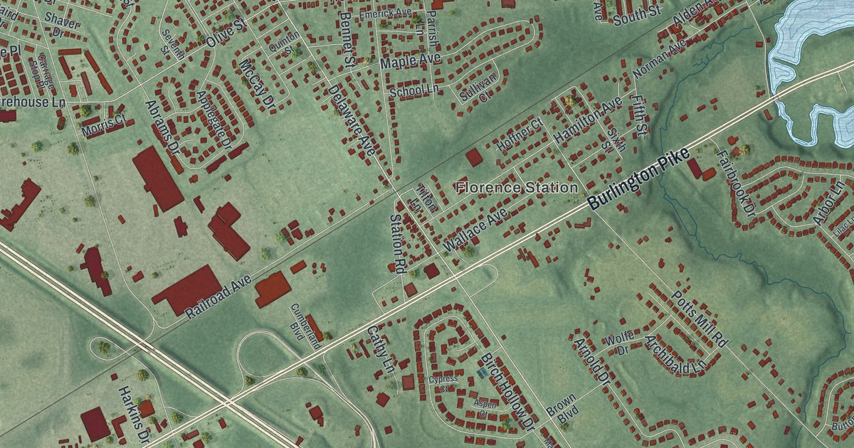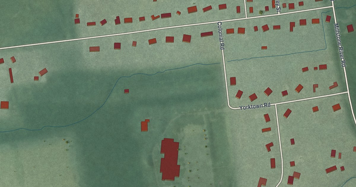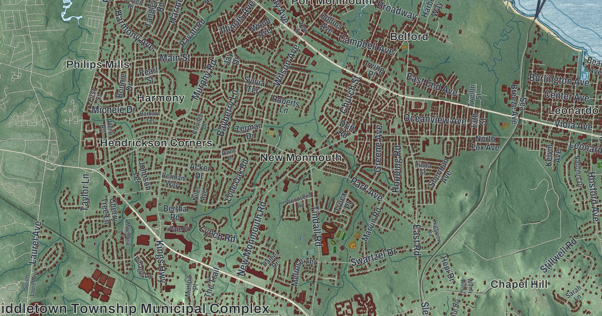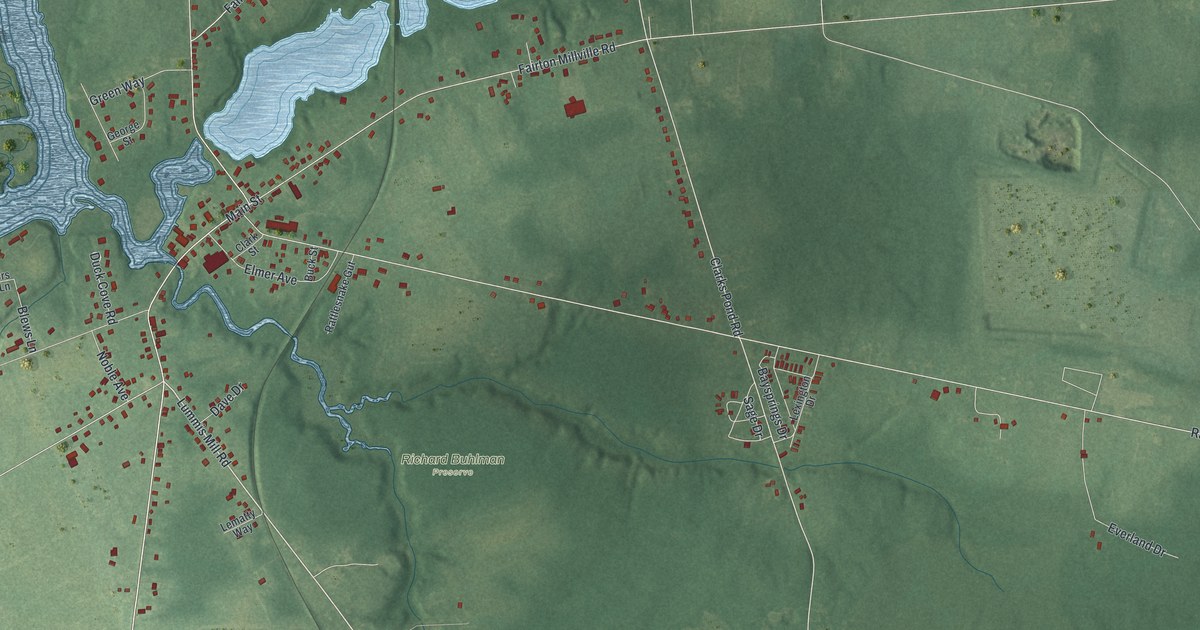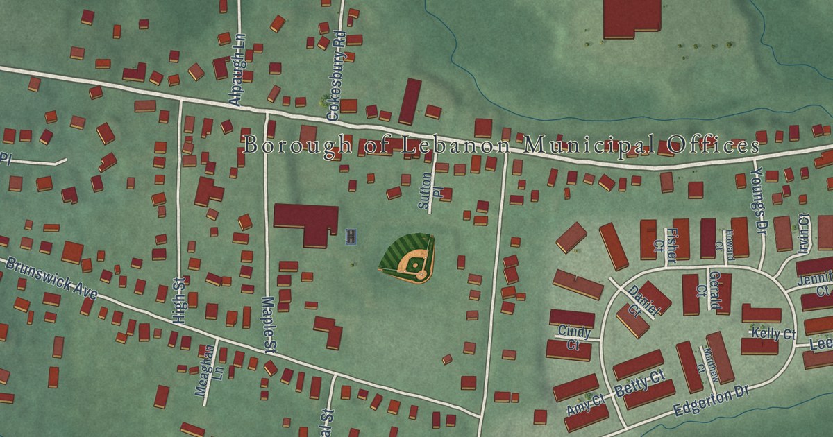
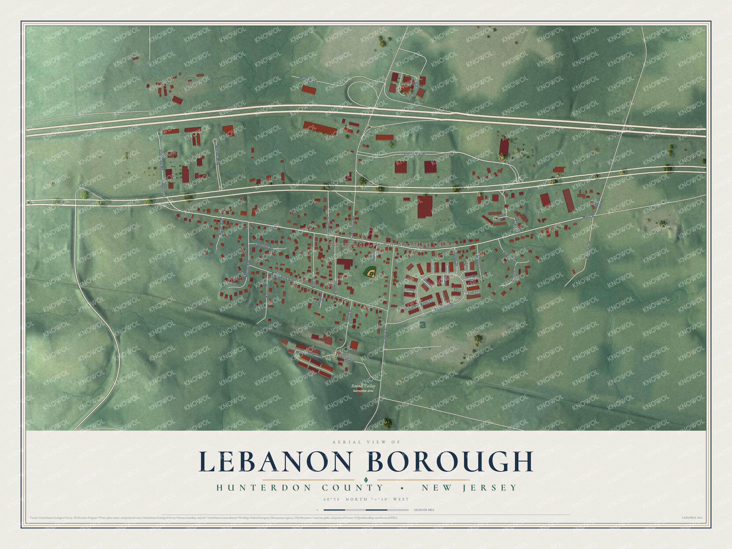
This beautifully detailed map of Lebanon Borough, Hunterdon County, New Jersey was created in 2026 using aerial imagery combined with modern topographical, census, street and landmark data. It’s a one-of-a-kind view of Lebanon Borough that combines accurate data with a vintage aesthetic. The map shows every building in its true location, many of the roads carry their names, and the shaded topographic relief shows the shape of the land.
Explore an aerial view of Lebanon Borough, Hunterdon County, New Jersey
On the map you’ll find Borough of Lebanon Municipal Offices, Round Valley Recreation Area, and Presidential Place, along with Main Street, Corporate Drive, Cokesbury Road, Edgerton Drive, Cherry Street, Brunswick Avenue, Werner Way, Prostak Lane, Connover Terrace, and more. If you look closely you can even find your house accurately drawn in its correct location. Zoom in on the preview to look for yours.
Did You Know?
Lebanon went by several names before it settled on its current one. Early on it was known as Jacksonville and later as Lebanonville. Next came Lebanonville Depot, and finally plain Lebanon, a stop on the Central Railroad of New Jersey. The borough was formed from parts of Clinton Township in 1926.
Take a closer look at the Lebanon Borough, Hunterdon County map
Names on this map
These names are printed on this map.
Places: Borough of Lebanon Municipal Offices and Round Valley Recreation Area.
Streets and roads: Main Street, Corporate Drive, Cokesbury Road, Edgerton Drive, Cherry Street, Brunswick Avenue, Werner Way, Prostak Lane, Connover Terrace, Presidential Place, Myrtle Avenue, Kullman Drive.
More street names, A to Z
Alpaugh Lane, Amy Court, Betty Court, Blossom Hill Road, Central Street, Chestnut Place, Cindy Court, Clark Road, Daniel Court, Fisher Court, Gerald Court, Grist Mill Circle, High Street, Howard Court, Irvin Court, Jennifer Court, Kelly Court, Knox Lane, Lee Court, Locust Drive, Lynwood Drive, Maple Street, Matthew Court, Meaghan Lane, Nitzer Avenue, Railroad Avenue, Sloan Lane, Sutton Place, Voegtlens Lane, Voegtlin Lane, Voetatlen Road, Youngs Drive.
See it on a wall
The Lebanon Borough, Hunterdon County map as an 18 x 24 inch print in a black frame.

This beautifully detailed map of Lebanon Borough, Hunterdon County makes an attractive addition to your office, library, or den, and it can even be used to teach children the geography and history of the area. It also makes a great gift for someone who left Lebanon Borough and still calls it home. When you’re done exploring, click here to get your copy of the Lebanon Borough, Hunterdon County map.