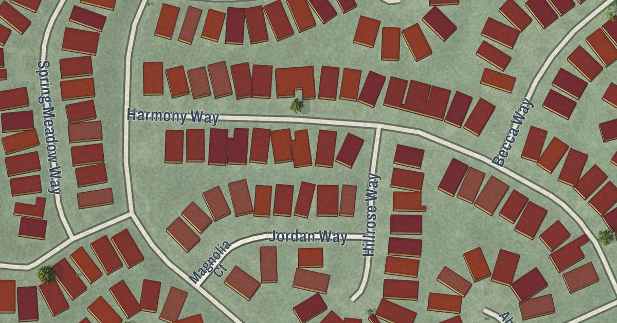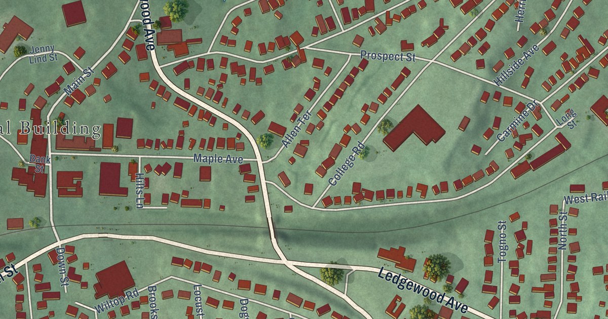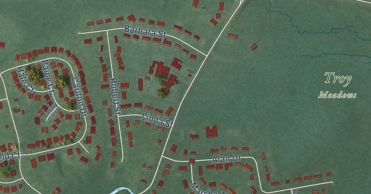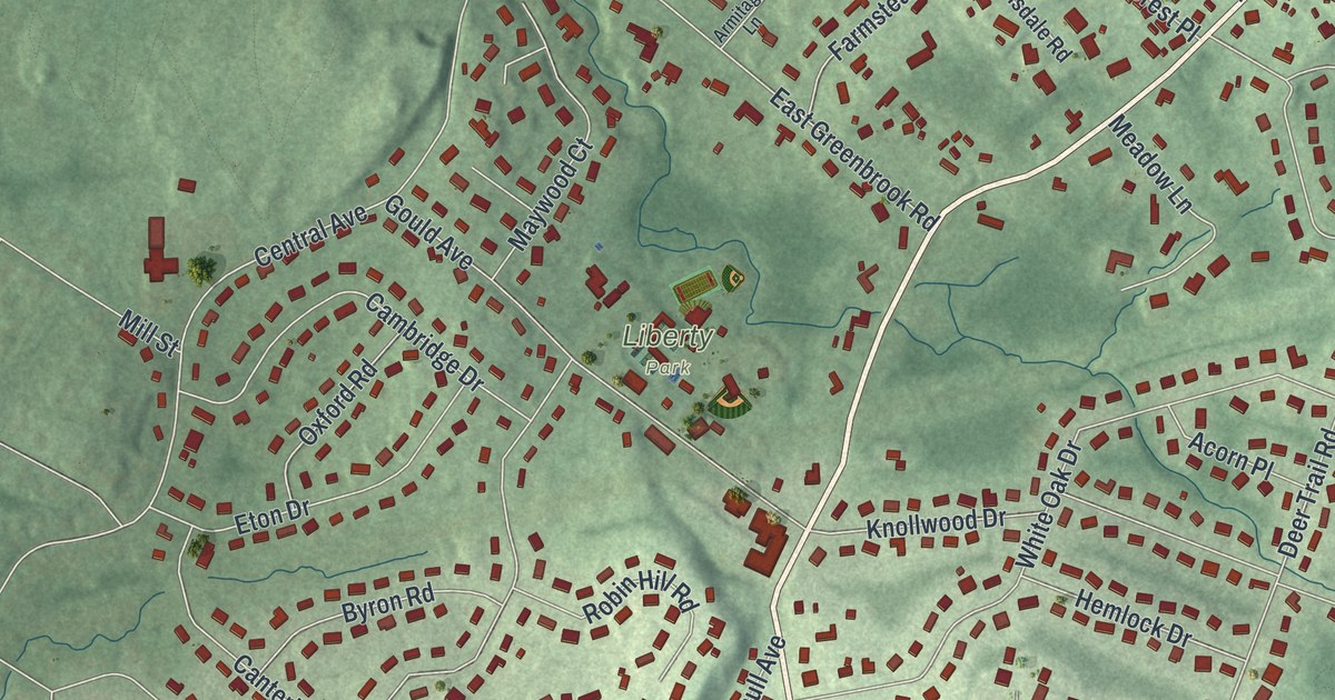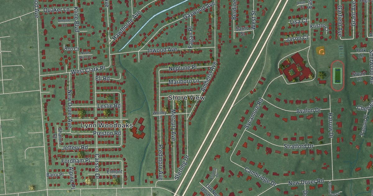
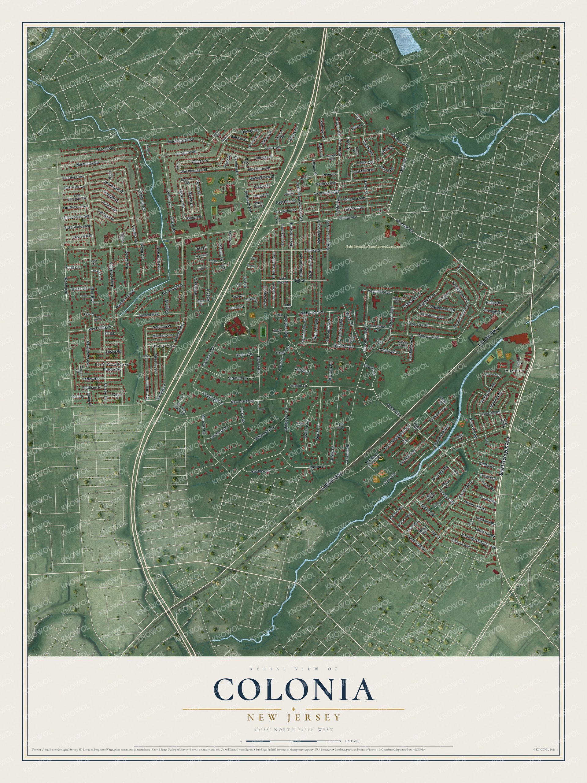
This beautifully detailed map of Colonia, New Jersey was created in 2026 using aerial imagery combined with modern topographical, census, street and landmark data. It’s a one-of-a-kind view of Colonia that combines accurate data with a vintage aesthetic. The map shows every building in its true location, many of the roads carry their names, and the shaded topographic relief shows the shape of the land.
Explore an aerial view of Colonia, New Jersey
On the map you’ll find Saint Gertrude Cemetery & Mausoleum, Hazelton, Lynn Woodoaks, and Shore View, along with Saint Georges Avenue, Lincoln Highway, Bramhall Road, Dukes Road, Hickory Road, New Dover Road, Inman Avenue, Colonia Boulevard, and more. If you look closely you can even find your house accurately drawn in its correct location. Zoom in on the preview to look for yours.
Take a closer look at the Colonia map
Names on this map
These names are printed on this map.
Places: Saint Gertrude Cemetery & Mausoleum, Hazelton, Lynn Woodoaks and Shore View.
Streets and roads: Saint Georges Avenue, Lincoln Highway, Bramhall Road, Dukes Road, Hickory Road, New Dover Road, Inman Avenue, Colonia Boulevard, Cypress Drive, Lake Avenue, Wood Avenue, Amherst Avenue.
More street names, A to Z
Acme Place, Alan Court, Alastair Place, Albee Lane, Albemarle Road, Alexis Court, Alfred Way, Alpine Place, Annette Lane, Archangela Avenue, Arthur Avenue, Avalon Drive, Barry Place, Beechwood Road, Beekman Avenue, Bentley Way, Berdine Court, Berkley Avenue, Bramhall Court, Broadway Avenue, Brookside Court, Byron Place, Califon Drive, Cambridge Drive, Cameo Place, Canterbury Lane, Caroline Place, Carolyn Avenue, Carson Drive, Caton Avenue, Cavour Street, Cedar Street, Central Street, Chelsea Lane, Cherbar Court, Cherry Drive, Christopher Lane, Claremont Avenue, Claridge Place, Cleveland Avenue, Clove Drive, Clover Avenue, Colonia Place, Colonia Road, Columbia Avenue, Conduit Way, Coral Court, Country Club Drive, Courtney Lane, Cove Way, David Court, Delaware Avenue, Derby Lane, Devon Road, Dewey Avenue, Dewitt Terrace, Dodd Street, Dogwood Lane, Dorset Road, Dover Road, Drake Place, Dufoe Place, East Cliff Road, East First Street, East Grant Avenue, East Hegel Avenue, East Hill Road, East Locust Avenue, East Maple Street, East Pine Street, East Prescott Avenue, East Sherman Avenue, East Shirley Avenue, East Street, East Walnut Street, East Willow Street, Edgewood Avenue, Eli Road, Elmont Place, Elm Street, Enfield Road, Ernston Road, Estates Drive, Fagan Place, Fairview Avenue, Farrell Avenue, Florence Avenue, Fordham Place, Frederick Avenue, Frieda Lane, Garfield Avenue, Gayle Court, Gaywood Avenue, Glendale Road, Grant Avenue, Guernsey Lane, Harrison Avenue, Harrow Drive, Hawthorne Avenue, Hayes Avenue, Heather Lane, Highfield Road, Highland Road, High Street, Hillcrest Road, Hoffman Boulevard, Inwood Avenue, Irene Court, Jan Way, Jason Court, Jay Court, Jeffery Road, Joanna Place, Jordan Avenue, Jordan Road, Jupiter Street, Kenilworth Place, Kensington Avenue, Kilmer Drive, Kimberly Road, Kline Boulevard, Knollwood Lane, Kristen Court, Lancaster Road, Leslie Road, Liam Court, Lincoln Avenue, Linda Avenue, Lisa Court, Lisa Rose Terrace, Longfellow Drive, Long Hill Road, Luci Court, Lynn Way, Lyric Drive, Maiden Way, Maple Street, Maplewood Avenue, Marlboro Lane, McFarlane Road, McKinley Avenue, Melody Drive, Mercury Avenue, Meredith Road, Middle Hill Road, Middlesex Avenue, Middlesex Essex Turnpike, Midfield Road, Midwood Way, Miliken Road, Montrose Avenue, Morningside Road, Nebel Way, Neptune Place, New Dover Avenue, New York Avenue, Normandy Road, North Alice Court, North Grant Avenue, North High Street, North Hill Road, North Lincoln Avenue, North Pennsylvania Avenue, North Washington Avenue, Old New Dover Road, Orion Place, Outlook Avenue, Overbrook Drive, Oxford Road, Parson Place, Patricia Avenue, Pennington Avenue, Periwinkle Place, Pine Tree Drive, Predmore Avenue, Preston Road, Princeton Avenue, Prospect Lane, Quaker Lane, Rahway Avenue, Rainbow Drive, Raven Drive, Ravine Drive, Regal Drive, Reo Court, Ridge Lane, Ridge Road, Rita Court, Ronald Drive, Roosevelt Avenue, Rose Court, Rugby Road, Rutgers Avenue, Sandalwood Lane, Sarno Street, Savoth Lane, Savoy Street, Shadowlawn Drive, Sharon Court, Sherold Road, Sherwood Road, Skyline Avenue, South Cliff Road, South Hill Road, South Middlesex Avenue, Spencer Avenue, Stafford Road, Stanford Avenue, Starlight Drive, Sterling Drive, Stone Place, Stratford Drive, Stuart Lane, Surrey Lane, Sycamore Road, Tanglewood Lane, Temple Way, Thelma Court, Timberlane Drive, Tobin Place, Trafalger Drive, Union Street, Valley Road, Vernon Avenue, Village Green, Walnut Lane, Warwick Road, Water Street, Wendy Road, West Clark Place, West Cliff Road, West Hill Road, Westminster Road, West Pine Street, West Street, West Willow Street, Wildwood Place, Woodland Drive, Woods Lane, Wooley Lane, York Lane.
See it on a wall
The Colonia map as an 18 x 24 inch print in a black frame.

This beautifully detailed map of Colonia makes an attractive addition to your office, library, or den, and it can even be used to teach children the geography and history of the area. It also makes a great gift for anyone who grew up in Colonia or moved away. When you’re done exploring, click here to get your copy of the Colonia map.