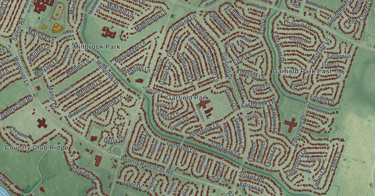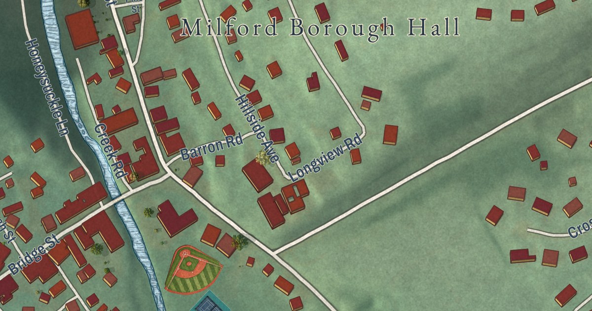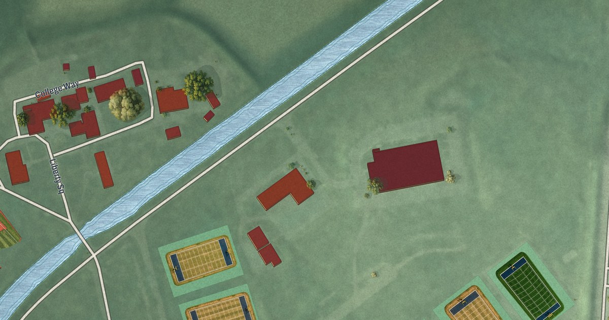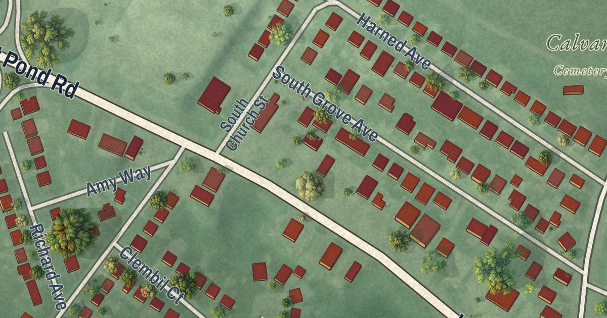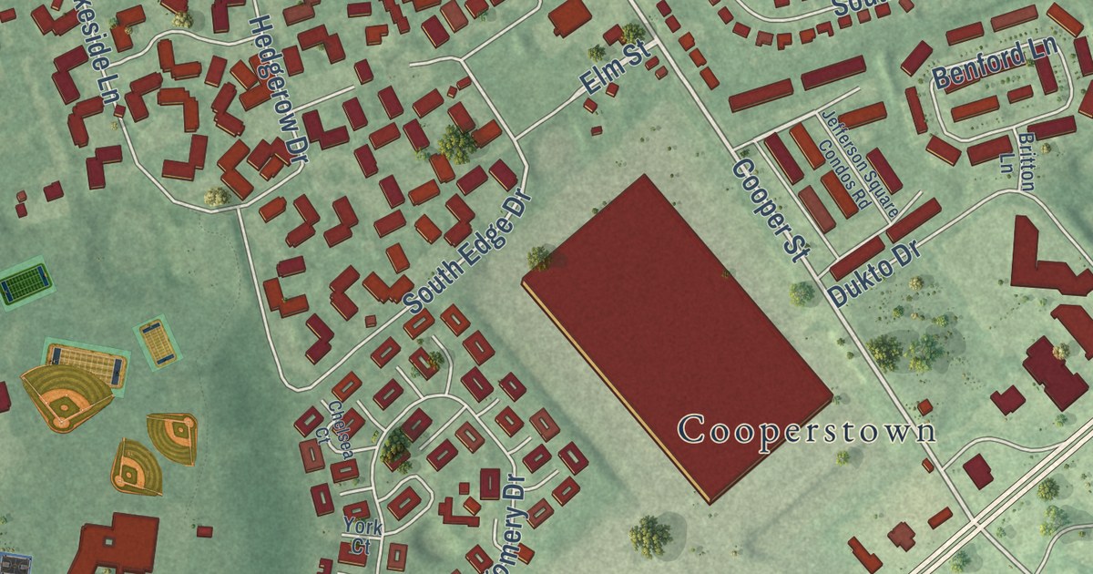
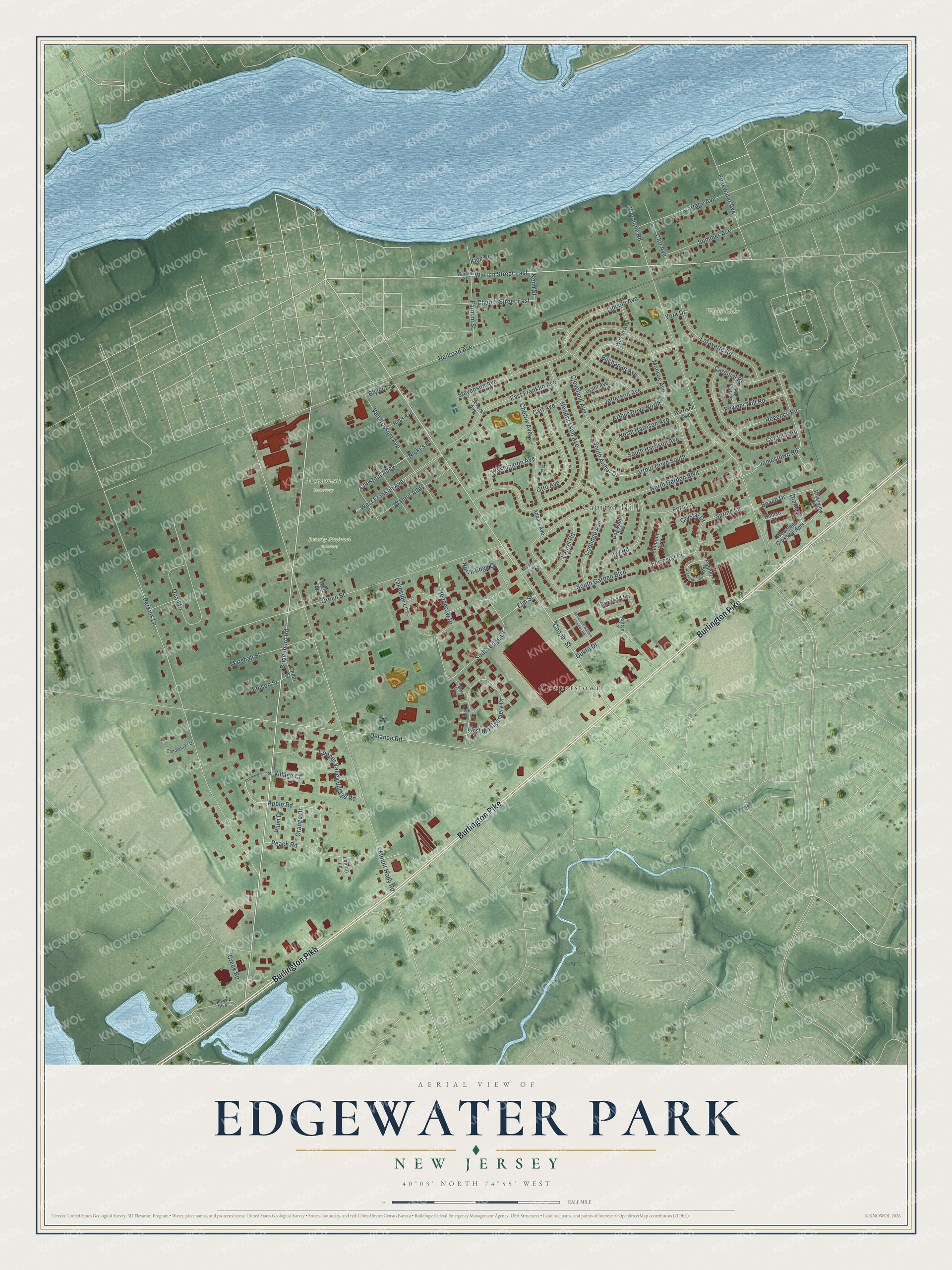
This beautifully detailed map of Edgewater Park, New Jersey was created in 2026 using aerial imagery combined with modern topographical, census, street and landmark data. It’s a one-of-a-kind view of Edgewater Park that combines accurate data with a vintage aesthetic. The map shows every building in its true location, many of the roads carry their names, and the shaded topographic relief shows the shape of the land.
Explore an aerial view of Edgewater Park, New Jersey
On the map you’ll find Beverly National Cemetery, Monument Cemetery, Wood Lake Park, Capitol Hill, and Cooperstown, along with Burlington Pike, Bridgeboro Road, Warren Street East, Cooper Street, South Edge Drive, Chestnut Alley, Diane Court, and more. If you look closely you can even find your house accurately drawn in its correct location. Zoom in on the preview to look for yours.
Did You Know?
Edgewater Park became a township of its own in 1924. It was carved out of the old Beverly Township, which is called Delanco today. The new township took its name from its place along the Delaware River.
Take a closer look at the Edgewater Park map
Names on this map
These names are printed on this map.
Places: Beverly National Cemetery, Monument Cemetery, Wood Lake Park, Capitol Hill and Cooperstown.
Streets and roads: Burlington Pike, Bridgeboro Road, Warren Street East, Cooper Street, South Edge Drive, Chestnut Alley, Diane Court, Mount Holly Road, Perkins Lane, Woodlane Road, Delanco Road, Green Street.
More street names, A to Z
Adams Avenue, Alexander Road, Apple Road, Arthur Drive North, Arthur Drive South, Beach Drive, Belmont Avenue, Benford Lane, Blossom Lane, Blyler Lane, Britton Lane, Buchanan Avenue, Candlelight Drive, Cardinal Road, Carl Avenue, Cedar Street, Chelsea Court, Cherrix Avenue, Church Street East, Cleveland Avenue, Cliff Avenue, Colonial Road, Coolidge Avenue, Cooper Valley Village Road, Cottage Avenue, Creek Road, Crystal Drive, Denise Court, Dogwood Road, Dukto Drive, East Franklin Avenue, Edgewater Avenue, Edison Street, Elm Street, Farnum Street, Fellowsip Boulevard, Fern Lane, First Montgomery Drive, Forrestal Drive, Framingham Road, Grant Avenue, Harrison Avenue, Hedgerow Drive, Hendrickson Avenue, Hess Avenue, Ivy Road, Jamestown Road, Jefferson Avenue, Jefferson Square Condos Road, Keim Street, King Street, Lafayette Road, Lakeside Lane, Laurel Road, Lemon Lane, Lincoln Avenue, Marshall Street, Monroe Avenue, Nicki's Place, North Edge Drive, North Garden Boulevard, North Harrison Avenue, Orange Drive, Otto Avenue, Palmer Square, Peach Road, Plum Drive, Powder Mill Road, Quail Drive, Railroad Avenue, Regency Road, Riverview Drive, Severs Avenue, South Arthur Drive, South Garden Boulevard, South Harrison Avenue, Spring Lane, Stevenson Avenue, Summer Avenue, Sunset Road, Taft Place, Van Rossum Avenue, Village Court, Wall Street, Walnut Alley, Warren Street, Washington Avenue, West Franklin Avenue, Wilson Avenue, Woodlane Crossing Apts, York Court, York Drive.
See it on a wall
The Edgewater Park map as an 18 x 24 inch print in a black frame.

This beautifully detailed map of Edgewater Park makes an attractive addition to your office, library, or den, and it can even be used to teach children the geography and history of the area. It also makes a great gift for someone who left Edgewater Park and still calls it home. When you’re done exploring, click here to get your copy of the Edgewater Park map.