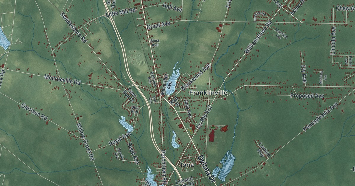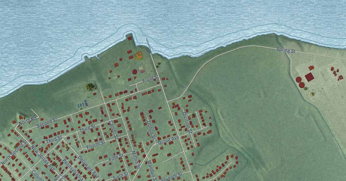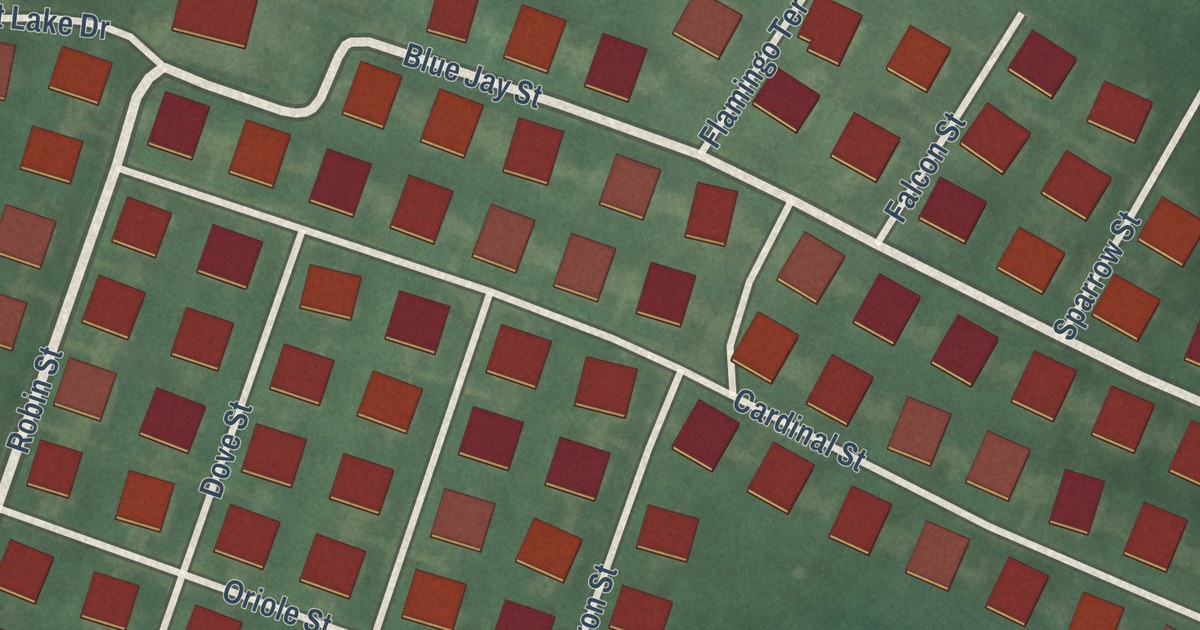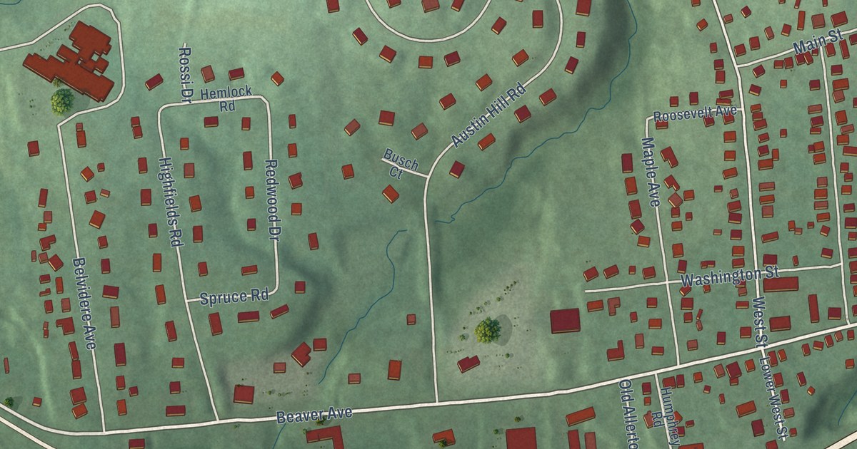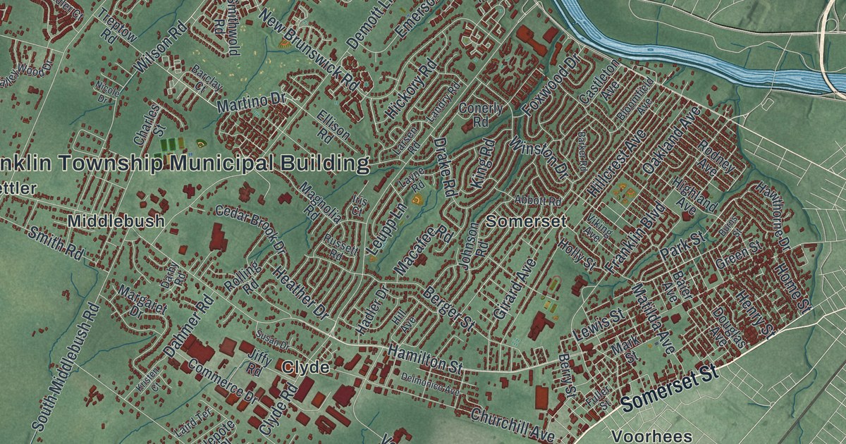
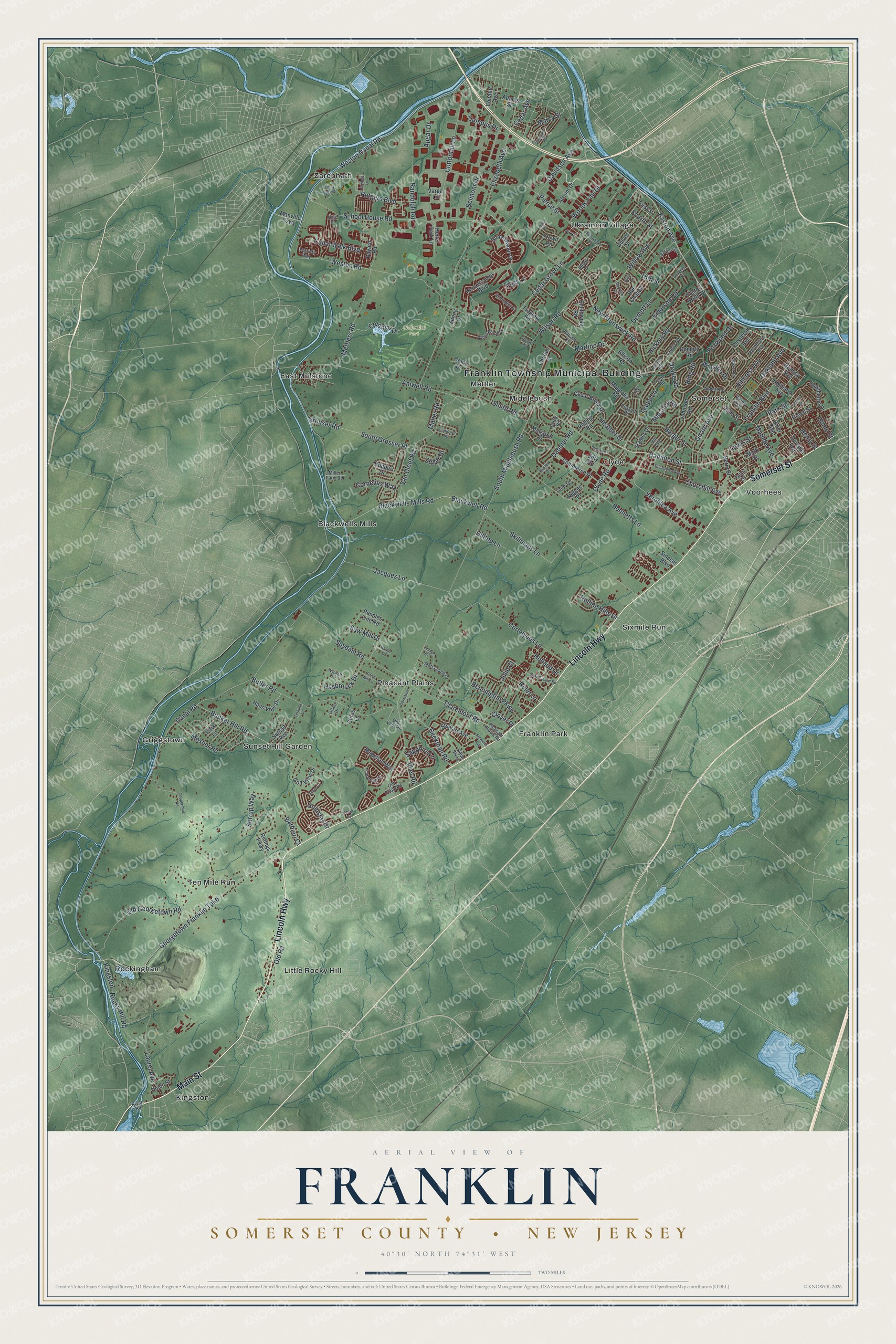
This beautifully detailed map of Franklin, Somerset County, New Jersey was created in 2026 using aerial imagery combined with modern topographical, census, street and landmark data. It’s a one-of-a-kind view of Franklin that combines accurate data with a vintage aesthetic. The map shows every building in its true location, many of the roads carry their names, and the shaded topographic relief shows the shape of the land.
Explore an aerial view of Franklin, Somerset County, New Jersey
On the map you’ll find Franklin Township Municipal Building, Colonial Park, Blackwells Mills, Clyde, East Millstone, Franklin Park, Griggstown, Kingston, Little Rocky Hill, Mettler, Middlebush, Pleasant Plains, and more. If you look closely you can even find your house accurately drawn in its correct location. Zoom in on the preview to look for yours.
Take a closer look at the Franklin, Somerset County map
Names on this map
These names are printed on this map.
Places: Franklin Township Municipal Building, Colonial Park, Blackwells Mills, Clyde, East Millstone, Franklin Park, Griggstown, Kingston, Little Rocky Hill, Mettler, Middlebush, Pleasant Plains, Rockingham, Sixmile Run, Somerset, Sunset Hill Garden, Ten Mile Run, Ukrainian Village, Voorhees and Zarephath.
Streets and roads: Lincoln Highway, Somerset Street, Main Street, Weston Canal Road, Canal Road, Easton Avenue, South Middlebush Road, Hamilton Street, Amwell Road, Elizabeth Avenue, New Brunswick Road, Cedar Grove Lane.
More street names, A to Z
15th Street, Abbey Drive, Abbott Road, Academy Road, Adams Street, Alton Drive, Angel Place, Apgar Drive, Atrium Drive, Baier Avenue, Barbieri Court, Barclay Court, Barge Lane, Barker Road, Barron Circle, Bayard Road, Beekman Road, Belmont Drive, Bennetts Lane, Bennington Parkway, Berger Street, Berry Street, Blackwell Road, Blackwells Mills Road, Bloomfield Avenue, Bunker Hill Road, Burns Street, Butler Road, Campus Drive, Canal Walk Boulevard, Castleton Avenue, Cedar Avenue, Cedar Brook Drive, Charles Street, Churchill Avenue, Claremont Road, Clover Place, Clyde Road, Colonial Drive, Commerce Drive, Como Drive, Conerly Road, Coppermine Road, Cornelius Way, Cortelyous Lane, Cottontail Lane, Crown Road, Culver Street, Dahmer Road, Darby Road, Davidson Avenue, Delar Parkway, Delmonico Avenue, Demott Lane, Denbigh Drive, Douglas Avenue, Drake Road, Easton North Drive, Ellison Road, Emerson Road, Equator Avenue, Fir Court, First Street, Fordham Road, Fourth Street, Foxwood Drive, Franklin Boulevard, Fuller Street, Garretson Drive, Georgetown Franklin Turnpike, Girard Avenue, Goldstar Drive, Golf View Drive, Goshen Lane, Green Street, Grist Mill Lane, Grouser Road, Hadler Drive, Hale Place, Hans Voje Drive, Hasbrouck Drive, Hawthorne Drive, Heather Drive, Heller Park Lane, Henry Street, Hickory Road, Highland Avenue, Hill Avenue, Hillcrest Avenue, Hilltop Lane, Holland Drive, Holly Street, Home Street, Iris Court, Jacques Lane, Jiffy Road, Johnson Road, Julie Court, King Road, Kingston - Rocky Hill Road, Kristen Court, Laird Terrace, Landry Road, Larsen Road, Laurel Avenue, Layne Road, Lenape Drive, Leupp Lane, Lewis Street, Lindy Lake Drive, Macafee Road, Magellan Way, Magnolia Road, Maher Road, Manville Causeway, Marcy Street, Margaret Drive, Mark Street, Martino Drive, Matilda Avenue, Mattawang Drive, Mettlers Road, Miller Farm Road, Mosher Road, Nepote Place, Nicole Drive, Oakland Avenue, Old Georgetown Road, Old Road, Old Stage Road, Old Vliet Road, Olsen Drive, Park Lane, Park Street, Patriots Way, Peoples Line Road, Pierce Street, Pleasant Plains Road, Post Lane, Randolph Road, Reler Lane, Renaissance Boulevard, Ridings Parkway, River Road, Rodney Avenue, Rolling Hills Drive, Rolling Road, Rue Chagall, Ruppert Drive, Russett Road, Rutgers Boulevard, Sapphire Lane, Saw Mill Drive, Schindler Court, School House Road, Sinclair Boulevard, Skillmans Lane, Smith Road, Smithwold Road, South Grosser Place, Stewart Avenue, Stewarts Avenue, Stiles Lane, Stirrup Way, Stone Manor Drive, Sunflower Road, Sunny Court, Sunnyvale Drive, Sunset Avenue, Supra Court, Susan Drive, Suydam Road, Terhune Court, Timberhill Drive, Treptow Road, Union Street, Valley Wood Drive, Van Cleef Road, Varga Lane, Veronica Avenue, Vetter Drive, Viking Avenue, Vliet Road, Westminster Road, Weston Road, Willow Avenue, Wilson Road, Winston Drive, Worlds Fair Drive, Wyckoff Place, Zeller Drive.
See it on a wall
The Franklin, Somerset County map as an 18 x 24 inch print in a black frame.

This beautifully detailed map of Franklin, Somerset County makes an attractive addition to your office, library, or den, and it can even be used to teach children the geography and history of the area. It also makes a great gift for anyone with Franklin roots. When you’re done exploring, click here to get your copy of the Franklin, Somerset County map.