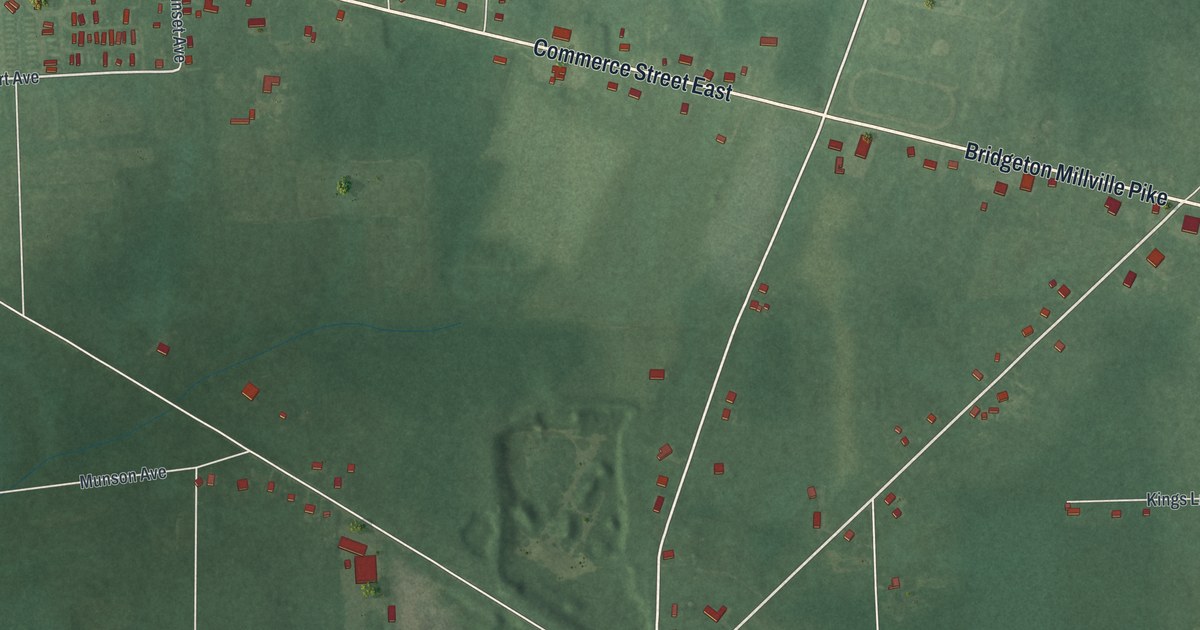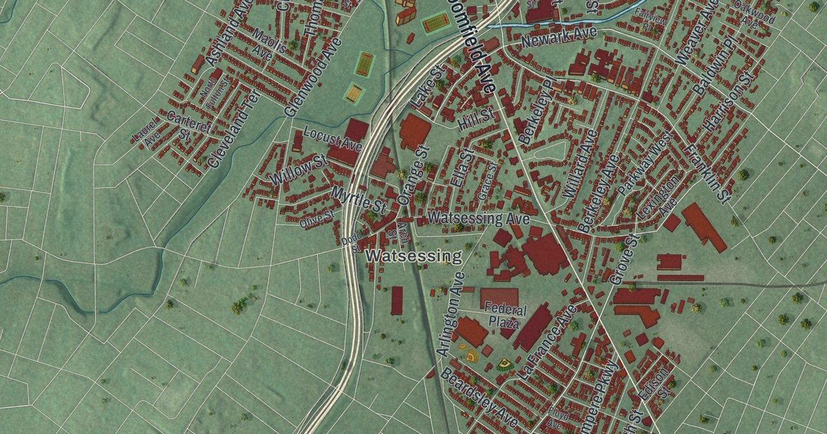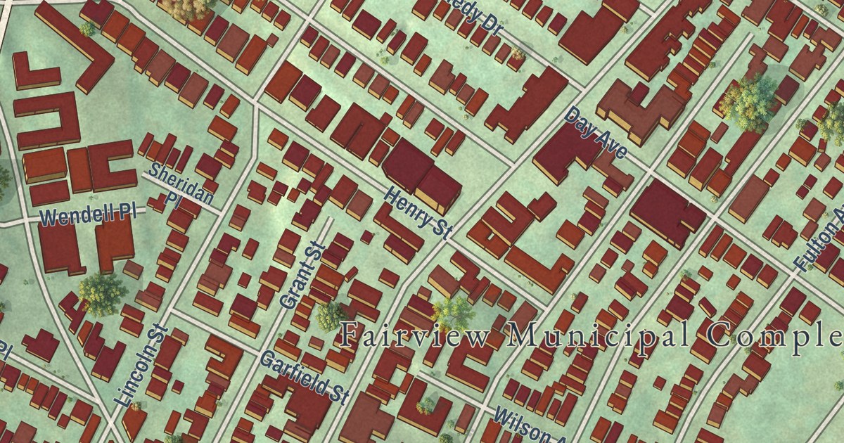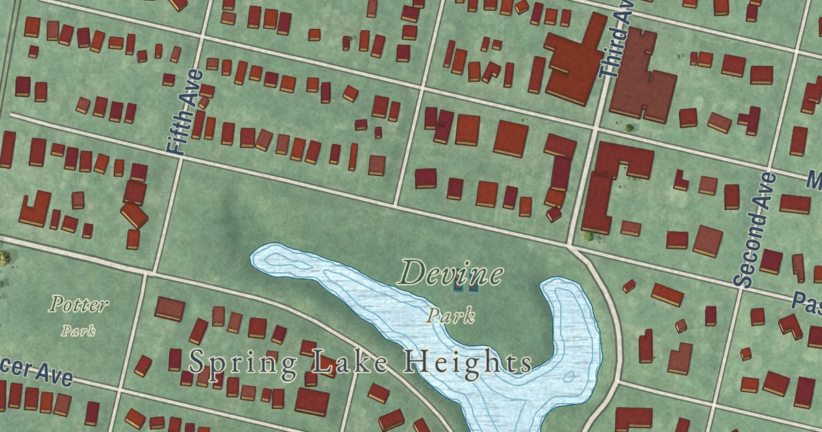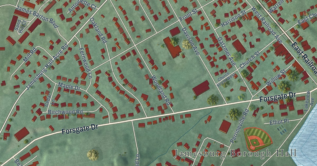
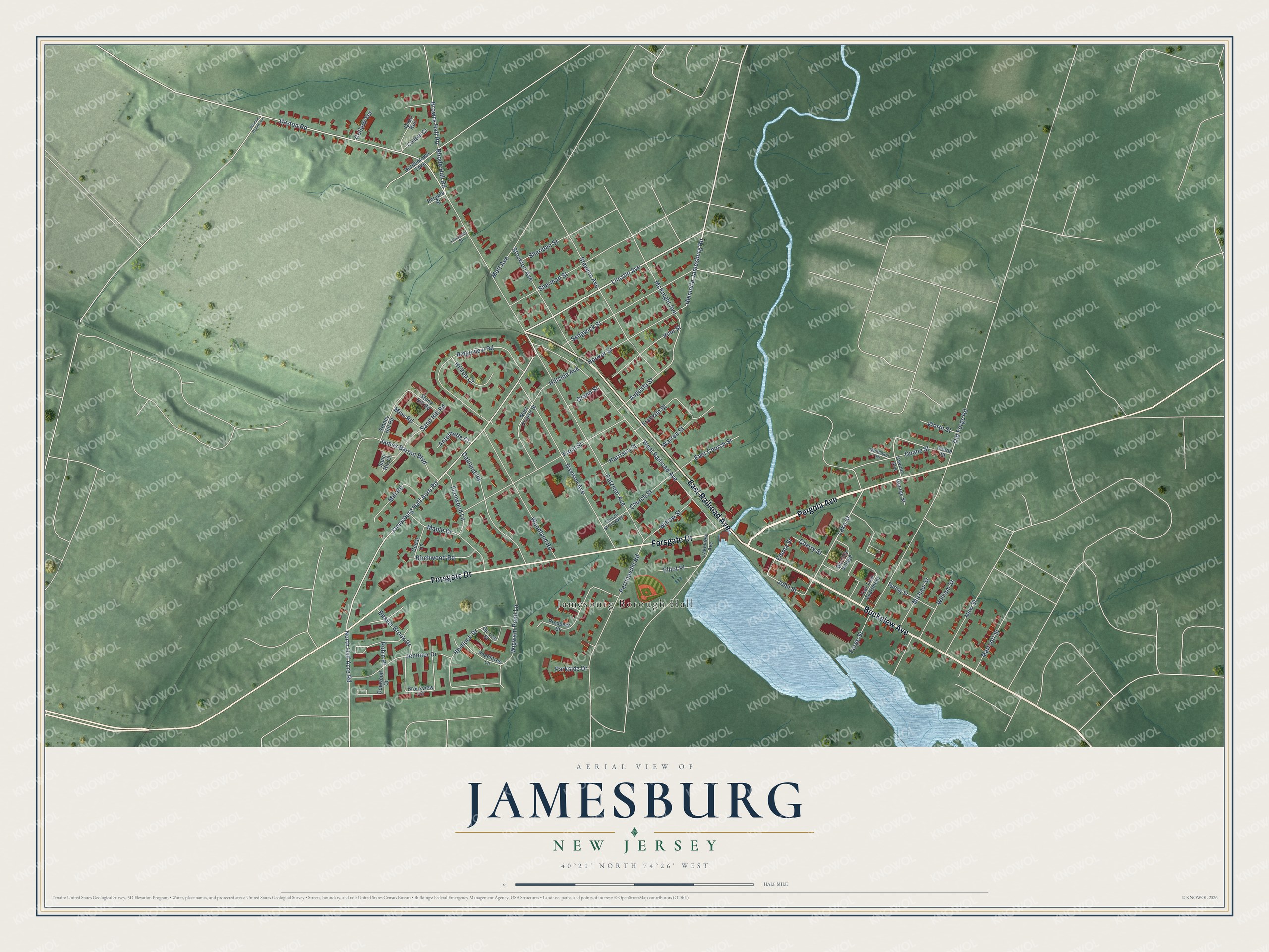
This beautifully detailed map of Jamesburg, New Jersey was created in 2026 using aerial imagery combined with modern topographical, census, street and landmark data. It’s a one-of-a-kind view of Jamesburg that combines accurate data with a vintage aesthetic. The map shows every building in its true location, many of the roads carry their names, and the shaded topographic relief shows the shape of the land.
Explore an aerial view of Jamesburg, New Jersey
On the map you’ll find Jamesburg Borough Hall and Thompson Park, along with East Railroad Avenue, Pergola Avenue, Buckelew Avenue, Forsgate Drive, Lincoln Avenue, Helmetta Jamesburg Road, North Half Acre Road, Dayton Road, Lake Street, Augusta Street, and more. If you look closely you can even find your house accurately drawn in its correct location. Zoom in on the preview to look for yours.
Did You Know?
Jamesburg was named for James Buckelew, whose mill grew into the heart of the town. Officials in Monroe Township would not let an African-American student into one of their schools. Buckelew then paid to build a school open to all children. That building bore his name and later gave the borough its own.
Take a closer look at the Jamesburg map
Names on this map
These names are printed on this map.
Places: Jamesburg Borough Hall.
Streets and roads: East Railroad Avenue, Pergola Avenue, Buckelew Avenue, Forsgate Drive, Lincoln Avenue, Helmetta Jamesburg Road, North Half Acre Road, Dayton Road, Lake Street, Augusta Street, Browns Hall Road, Stevens Avenue.
More street names, A to Z
Antoinette Court, Barclay Village, Beaver Brook Drive, Birchwood Road, Bordentown Turnpike, Brookview Circle, Cavour Avenue, Cedar Lane, Cherry Street, Church Street, Church Street West, Colletti Court, Colletti Terrace, Courtney Street, Davison Avenue, Dogwood Court, Duane Street, East Church Street, Elliot Place, Emma Street, Fernwood Lane, Forge Street, Franklin Street, Front Street, Gatzmer Avenue, George Street, Grand Street, Harrison Street, Hemlock Drive, Hillside Avenue, Hilltop Court, Hooker Street, James Barton Boulevard, Jamesburg Half Acre Road, Jennifer Drive, John Street, Lakeview Avenue, Maple Drive, Marryott Street, McKnight Avenue, Mendoker Drive, Michael Street, Mill Road, Mine Road, Mott Avenue, New Street, Oakland Road, Old Forge Road, Parkside Drive, Peachtree Lane, Pergola Street, Perrineville Road, Possum Hollow Road, Prospect Street, Quail Run, Reade Street, Rhode Hall Road, Ridgeview Road, Robin Place, Sand Hill Court, Sand Hill Road, Sedgwick Street, Sheridan Street, Sherman Street, Spring Street, Spruce Street, Stockton Avenue, Stoney Hill Road, Stony Hill Road, Tall Tree Apartment, Vine Street, Warren Street, West Hooker Street, West Railroad Avenue, Wigwam Pond Lane, William Street, Willow Street, Woodland Road, Worth Street.
See it on a wall
The Jamesburg map as an 18 x 24 inch print in a black frame.

This beautifully detailed map of Jamesburg makes an attractive addition to your office, library, or den, and it can even be used to teach children the geography and history of the area. It also makes a great gift for someone who left Jamesburg and still calls it home. When you’re done exploring, click here to get your copy of the Jamesburg map.