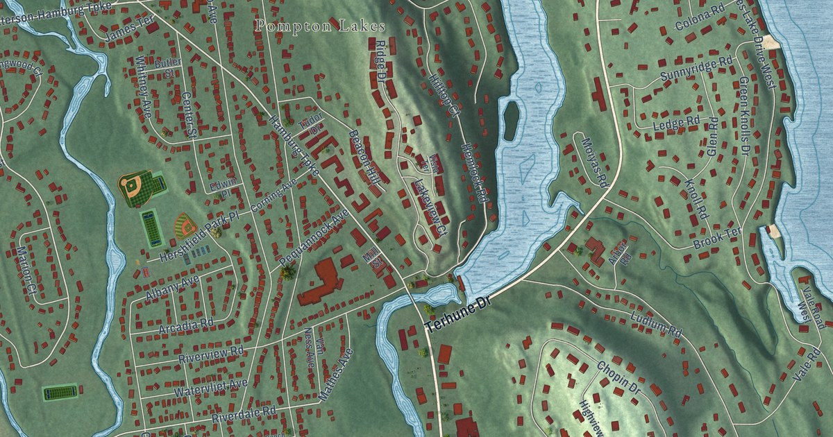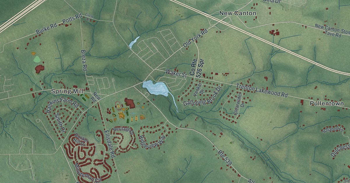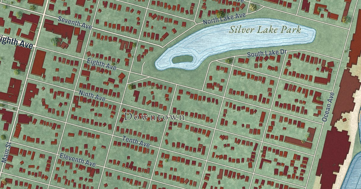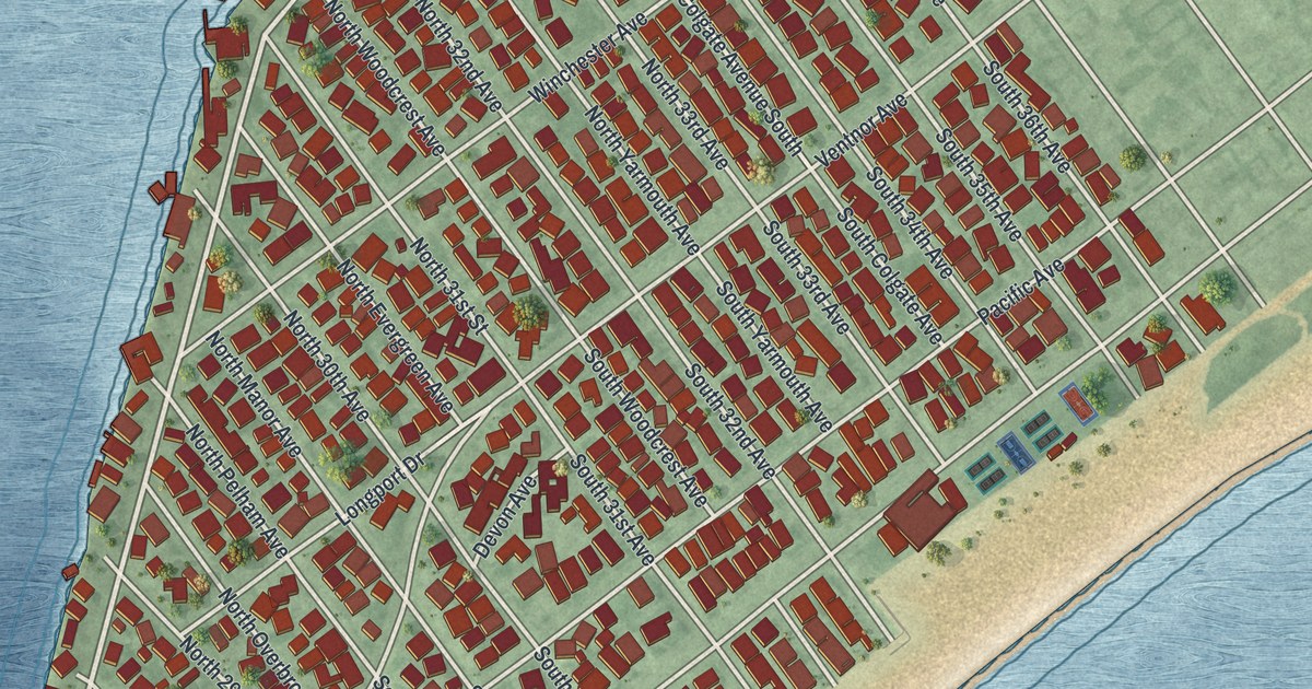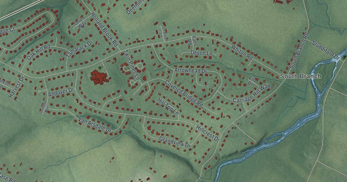
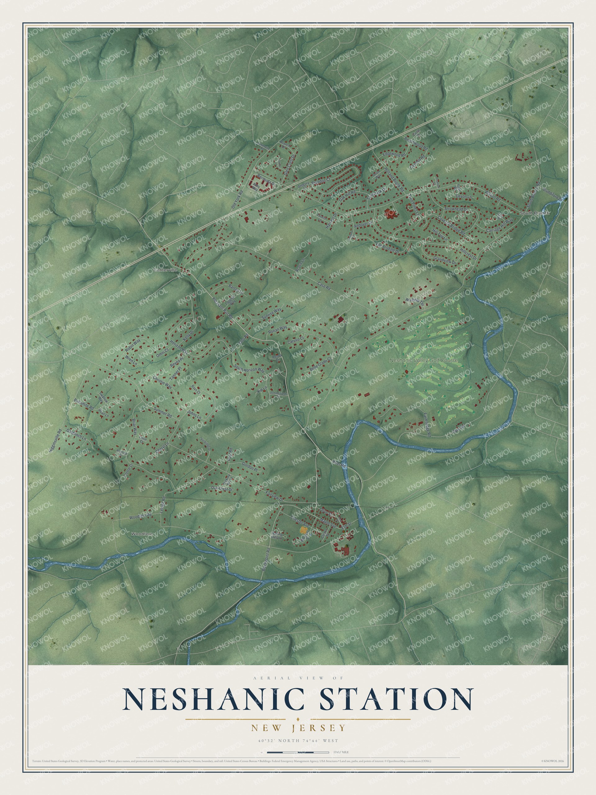
This beautifully detailed map of Neshanic Station, New Jersey was created in 2026 using aerial imagery combined with modern topographical, census, street and landmark data. It’s a one-of-a-kind view of Neshanic Station that combines accurate data with a vintage aesthetic. The map shows every building in its true location, many of the roads carry their names, and the shaded topographic relief shows the shape of the land.
Explore an aerial view of Neshanic Station, New Jersey
On the map you’ll find Woodfern, Centerville, and South Branch, along with Pleasant Run Road, Blackpoint Road, River Road, Maple Avenue, Summer Road, and more. If you look closely you can even find your house accurately drawn in its correct location. Zoom in on the preview to look for yours.
Did You Know?
The name Neshanic comes from an Algonquian word meaning double stream. The community had a station on the South Branch Railroad, a line that no longer runs. In 2016, the National Register added most of the village as the Neshanic Station Historic District. It holds 94 contributing buildings.
Take a closer look at the Neshanic Station map
Names on this map
These names are printed on this map.
Places: Woodfern, Centerville, South Branch and Neshanic Valley Golf Course.
Streets and roads: Pleasant Run Road, Blackpoint Road, River Road, Maple Avenue, Summer Road, South Branch Road, Whiton Road, Woodfern Road, Case Road, Fairview Drive, Old York Road, Opie Road.
More street names, A to Z
Abby Way, Acorn Lane, Andover Drive, Arrowhead Drive, Barton Lane, Beechwood Road, Belle Glade Court, Bermuda Drive, Bobwhite Road, Branch Drive, Brandon Court, Briar Way, Carriage Hill Way, Caruso Court, Centerville Road, Charlton Lane, Cheryl Lane, Chester Avenue, Christie Way, Circle Drive, Clinton Street, Colin Court, Covered Bridge Road, Crystal Court, Deerhill Road, Devon Lane, Edgewood Road, Elia Drive, Elm Street, Falls Road, Farmsedge Road, Forest Lane, Glen Crest Drive, Goldfinch Lane, Gordon Place, Grandview Drive, Gregory Lane, Harvest Drive, Hickory Hill Lane, Higginsville Road, Hillcrest Drive, Hill Top Lane, Holland Brook Road, Horizon Way, Johns Lane, Kelly Drive, Kip Lane, Laggren Way, Lehigh Road, Lehman Lane, Lexington Avenue, Marshall Street, Oak Crest Drive, Oak Hill Road, Olive Street, Omni Court, Orion Way, Otto Road, Pearl Street, Post Road, Quail Lane, Rays Court, Renda Drive, Reyna Place, Richfield Court, Robin Way, Rolling Hills Lane, Ronan Way, South Horizon Way, Studdiford Drive, Sturbridge Drive, Summerfields Drive, Sunrise Way, Swallow Way, Tamarack Drive, Tanner Place, Twin Pines Lane, Van Arsdale Drive, Winfield Terrace, Wren Lane.
See it on a wall
The Neshanic Station map as an 18 x 24 inch print in a black frame.

This beautifully detailed map of Neshanic Station makes an attractive addition to your office, library, or den, and it can even be used to teach children the geography and history of the area. It also makes a great gift for someone who left Neshanic Station and still calls it home. When you’re done exploring, click here to get your copy of the Neshanic Station map.