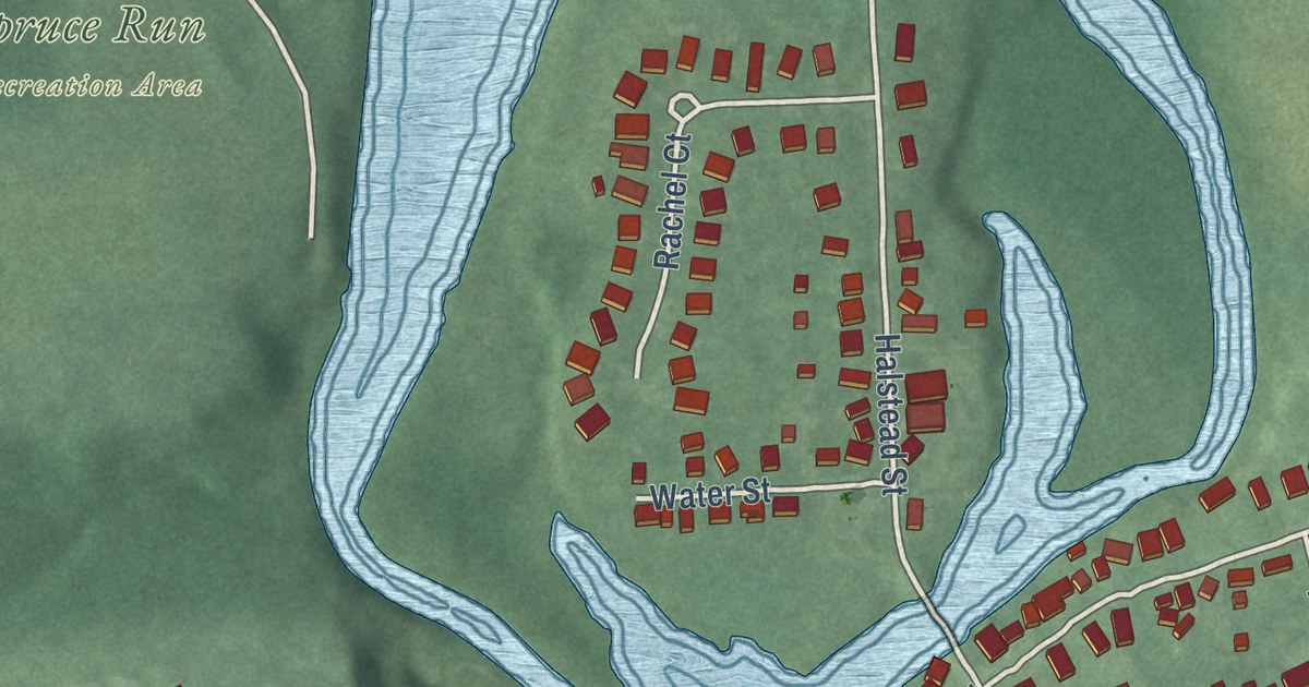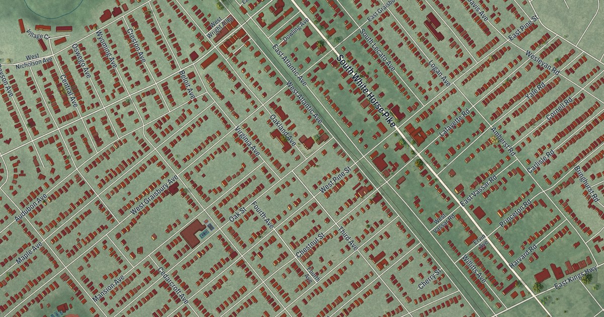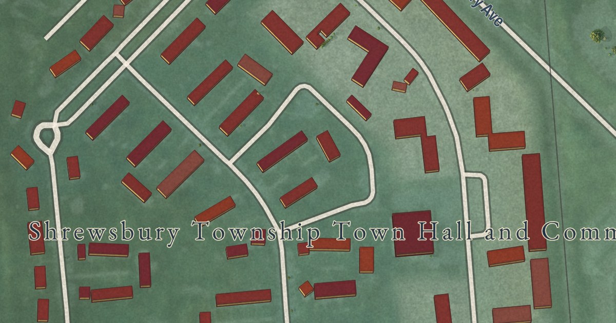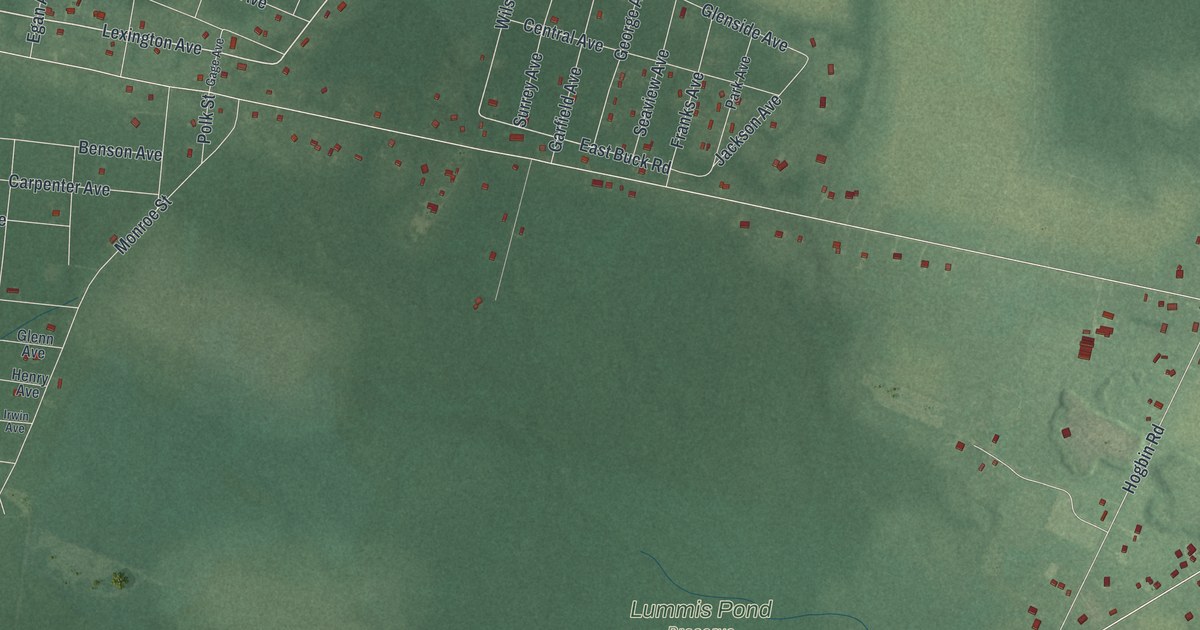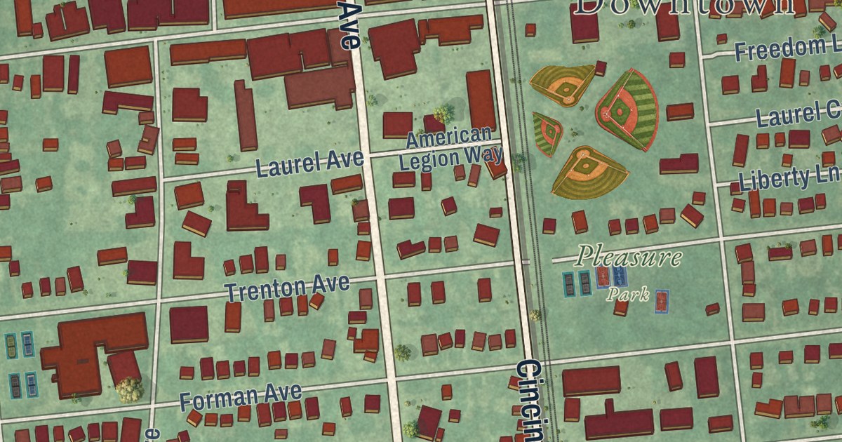
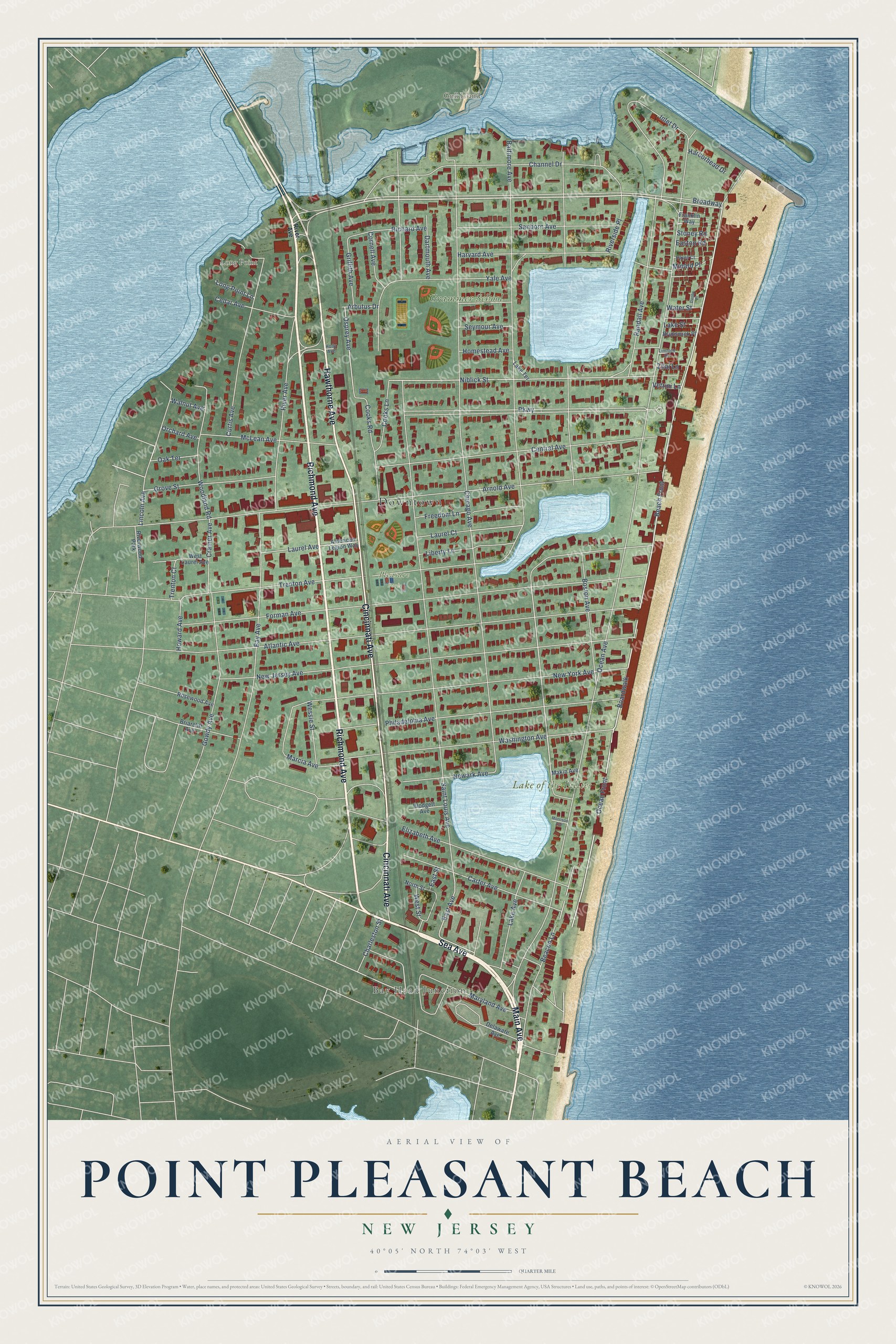
This beautifully detailed map of Point Pleasant Beach, New Jersey was created in 2026 using aerial imagery combined with modern topographical, census, street and landmark data. It’s a one-of-a-kind view of Point Pleasant Beach that combines accurate data with a vintage aesthetic. The map shows every building in its true location, many of the roads carry their names, and the shaded topographic relief shows the shape of the land.
Explore an aerial view of Point Pleasant Beach, New Jersey
On the map you’ll find Downtown, Bay Head Junction, Gull Island, Long Point, and Pleasure Park, along with Sea Avenue, Main Avenue, Cincinnati Avenue, Hawthorne Avenue, and more. If you look closely you can even find your house accurately drawn in its correct location. Zoom in on the preview to look for yours.
Did You Know?
Henry Hudson’s ship, the Half Moon, sailed past this shore on September 2, 1609. Hudson was headed north to explore the river later named for him. One sailor, Robert Juet, wrote that this land looked good and pleasant. The Lenape people lived here long before.
Take a closer look at the Point Pleasant Beach map
Names on this map
These names are printed on this map.
Places: Downtown, Bay Head Junction, Gull Island, Long Point, Lake of the Lillies, Grammer School, Pleasure Park and Riverwood Park.
Streets and roads: Sea Avenue, Main Avenue, Cincinnati Avenue, Hawthorne Avenue, Richmond Avenue, Broadway, Beach Front, Ocean Front, Osprey Avenue, East Avenue, East Street, Boardwalk.
More street names, A to Z
American Legion Way, Arbutus Drive, Arnold Avenue, Atlantic Avenue, Baltimore Avenue, Bay Avenue, Beacon Lane, Blodgett Avenue, Boston Avenue, Briarcliff Avenue, Brunswick Place, Carter Avenue, Cedar Avenue, Central Avenue, Channel Drive, Charleston Street, Chicago Avenue, Cooks Lane, Cooks Road, Cornell Avenue, Cramer Avenue, Curtis Avenue, Danby Place, Dartmouth Avenue, Delaware Avenue, Easton Road, Elizabeth Avenue, Forman Avenue, Franklin Way, Freedom Lane, Gowdy Avenue, Griffith Avenue, Grove Street, Harborhead Drive, Harvard Avenue, Hayes Court, Holly Avenue, Homestead Avenue, Howard Avenue, Inlet Drive, Lake Avenue, Lake Street, Lake Terrace, Laurel Avenue, Laurel Court, Liberty Lane, Limroth Drive, Lincoln Avenue, Long Point Lane, Makin Avenue, Marcia Avenue, Maryland Avenue, McLean Avenue, Minard Place, Morrison Avenue, Newark Avenue, New Jersey Avenue, New York Avenue, Niblick Street, North Street, Oak Terrace, Ocean Avenue, Orchard Avenue, Parkway, Philadelphia Avenue, Randall Avenue, Richard Avenue, River Avenue, Riverside Place, Rosewood Avenue, Saint Louis Avenue, Sanborn Avenue, Seymour Avenue, Stoney Road, Trenton Avenue, Trenton Court, Vetrini Lane, Walnut Avenue, Washington Avenue, Water Street, Wessie Street, West Laurel Avenue, West Street, Woodland Road, Yale Avenue, Zilai Lane.
See it on a wall
The Point Pleasant Beach map as an 18 x 24 inch print in a black frame.

This beautifully detailed map of Point Pleasant Beach makes an attractive addition to your office, library, or den, and it can even be used to teach children the geography and history of the area. It also makes a great gift for someone who left Point Pleasant Beach and still calls it home. When you’re done exploring, click here to get your copy of the Point Pleasant Beach map.