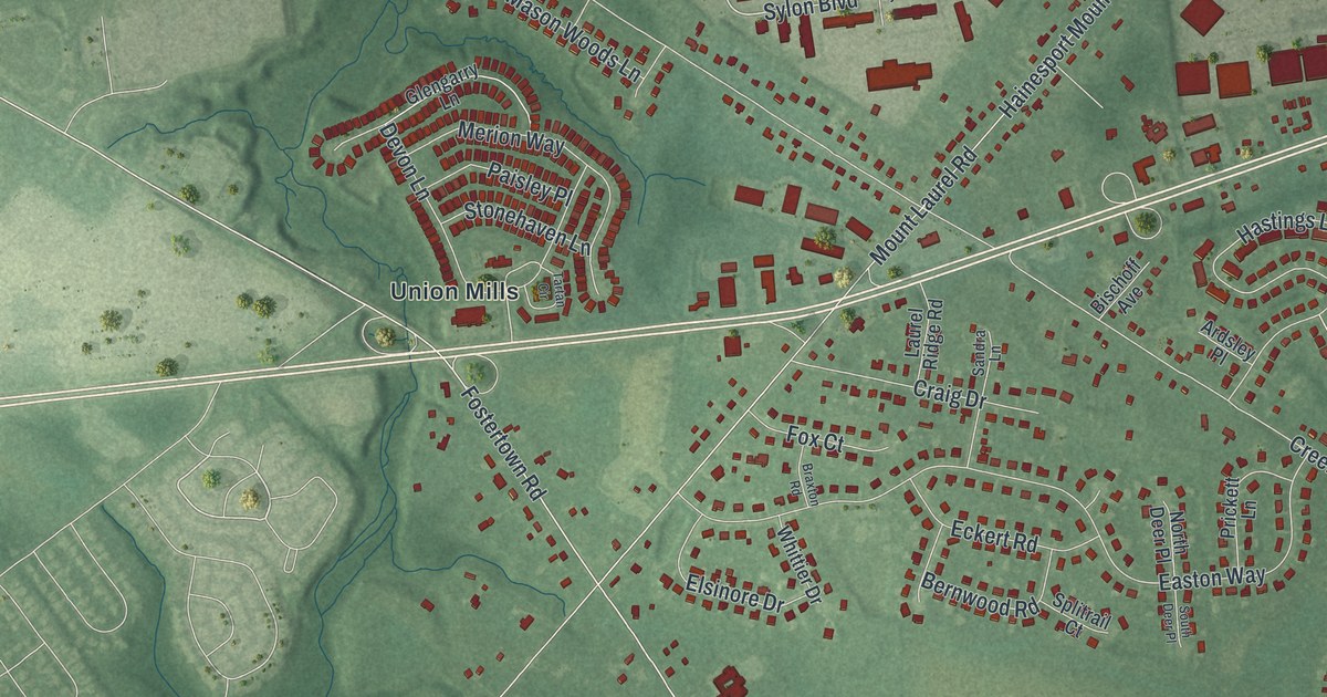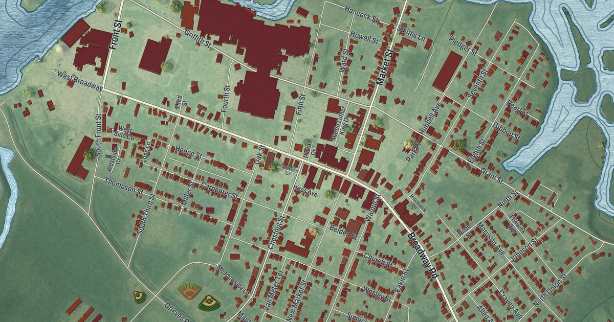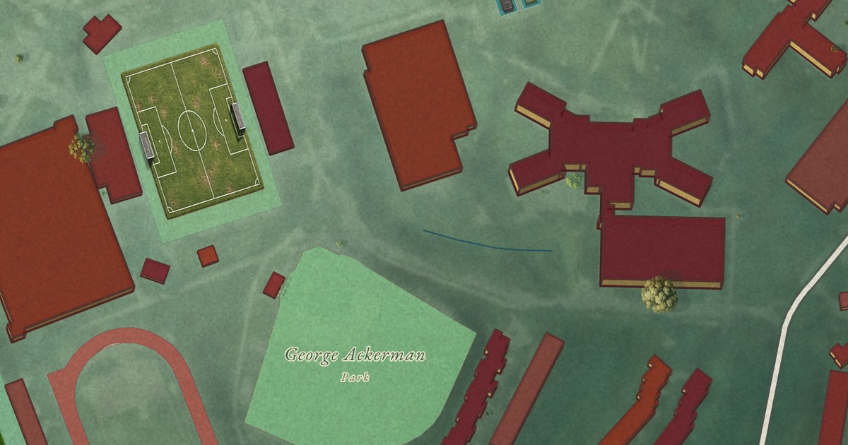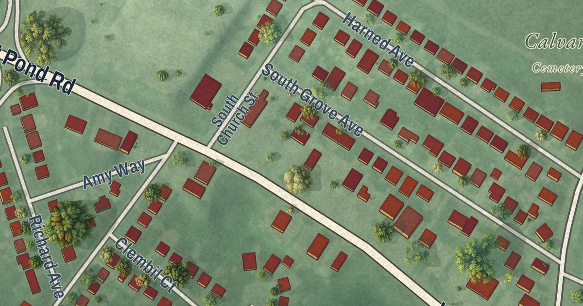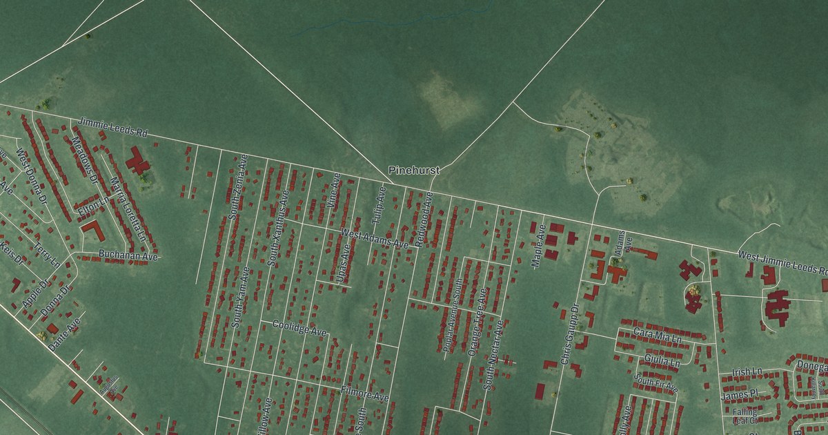
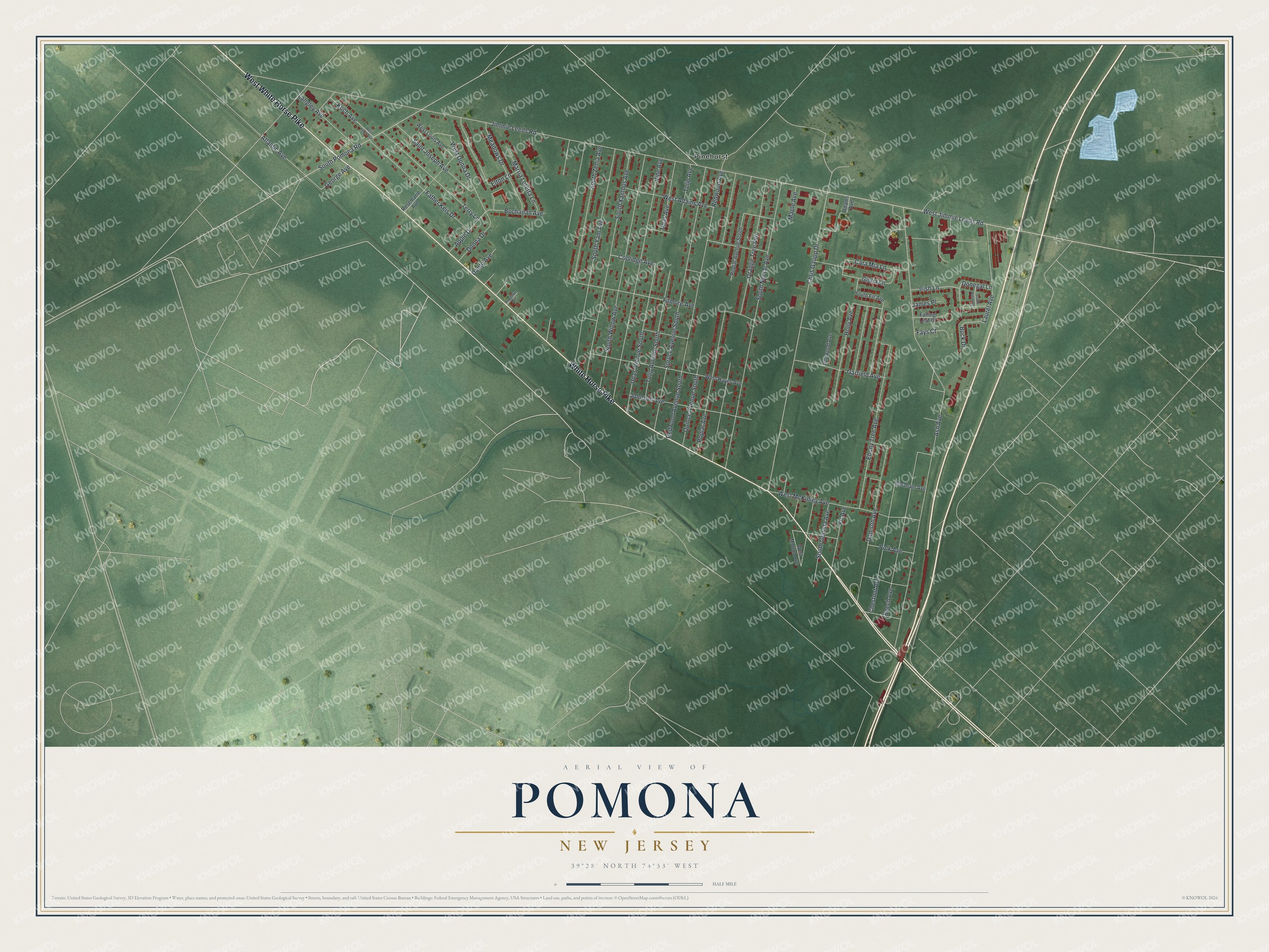
This beautifully detailed map of Pomona, New Jersey was created in 2026 using aerial imagery combined with modern topographical, census, street and landmark data. It’s a one-of-a-kind view of Pomona that combines accurate data with a vintage aesthetic. The map shows every building in its true location, many of the roads carry their names, and the shaded topographic relief shows the shape of the land.
Explore an aerial view of Pomona, New Jersey
On the map you’ll find Pinehurst, along with White Horse Pike, Jimmie Leeds Road, Chris Gaupp Drive, Fir Avenue, Coolidge Avenue, and more. If you look closely you can even find your house accurately drawn in its correct location. Zoom in on the preview to look for yours.
Did You Know?
Settlers from many European nations farmed the Pomona district. Their small fruit farms covered the flat countryside. They gave the roads names from the old country, such as Prague, Odessa, Mannheim and Zurich. That’s from the 1939 WPA guide to New Jersey.
Take a closer look at the Pomona map
Names on this map
These names are printed on this map.
Places: Pinehurst.
Streets and roads: White Horse Pike, West White Horse Pike, West Jimmie Leeds Road, Chris Gaupp Drive, Fir Avenue, Coolidge Avenue, West Donna Drive, Redwood Avenue, Poplar Avenue, Jimmie Leeds Road, Ash Avenue, South Nectar Avenue.
More street names, A to Z
Abraham Avenue, Adams Avenue, Apple Drive, Atlantic Avenue, Augustus Avenue, Beech Avenue, Buchanan Avenue, Buck Drive, Cara Mia Lane, Chestnut Avenue, Damson Avenue, Dante Avenue, Donegal Lane, Donna Drive, Ebony Tree Avenue, Elton Lane, Falling Leaf Court, Father Keis Drive, Fays Court, Filmore Avenue, Garfield Avenue, George Avenue, Giulia Lane, Holly Avenue, Irish Lane, Ironwood Avenue, James Place, Johnson Avenue, Koch Avenue, Langley Avenue, Laurel Avenue, Maple Avenue, Marria Loretta Lane, Meadows Drive, Orange Tree Avenue, Polk Avenue, Poplar Avenue South, Quince Avenue South, Redwood Avenue South, Rosemarie Avenue, Saint Joseph Avenue, South Fir Avenue, South Genista Avenue, South Killarney, South Pomona Road, South Willow Avenue, South Xanthus Avenue, South Yam Avenue, South Zenia Avenue, Spruce Avenue South, Terry Lane, Tulip Avenue, Tulip Avenue South, Upas Avenue, Upas Avenue South, Vine Avenue, West Adams Avenue, West Hayes Avenue, West Koch Avenue, West Louis Avenue, West McKinley Avenue, West Morton Avenue.
See it on a wall
The Pomona map as an 18 x 24 inch print in a black frame.

This beautifully detailed map of Pomona makes an attractive addition to your office, library, or den, and it can even be used to teach children the geography and history of the area. It also makes a great gift for someone who left Pomona and still calls it home. When you’re done exploring, click here to get your copy of the Pomona map.