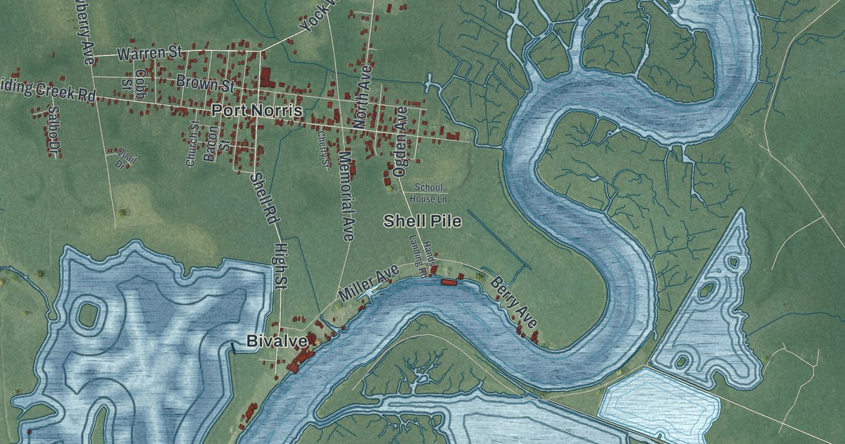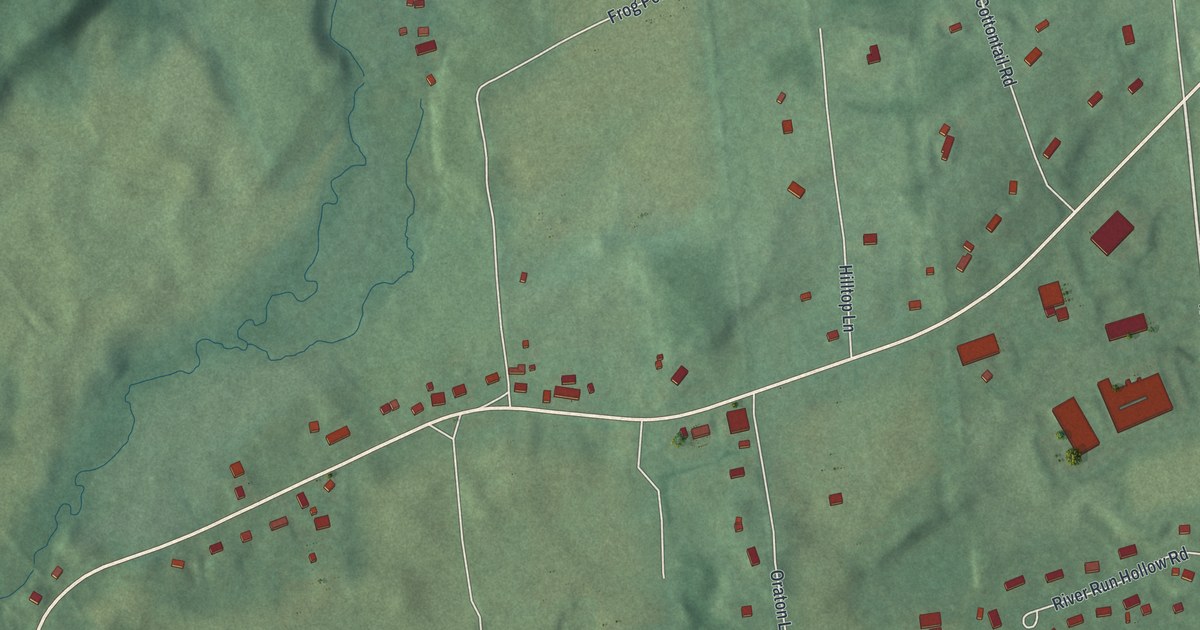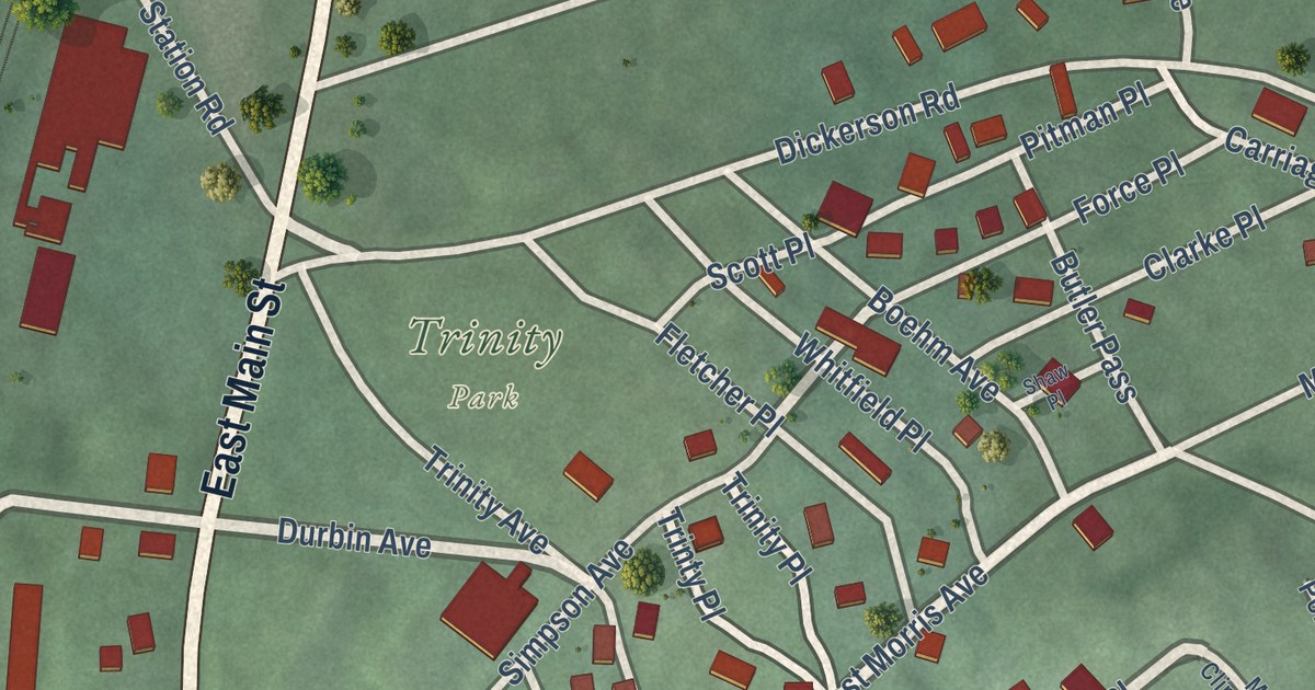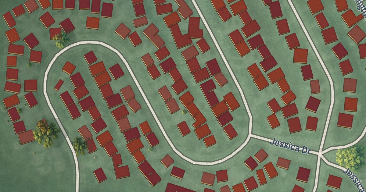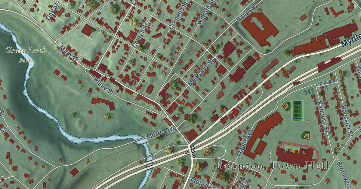
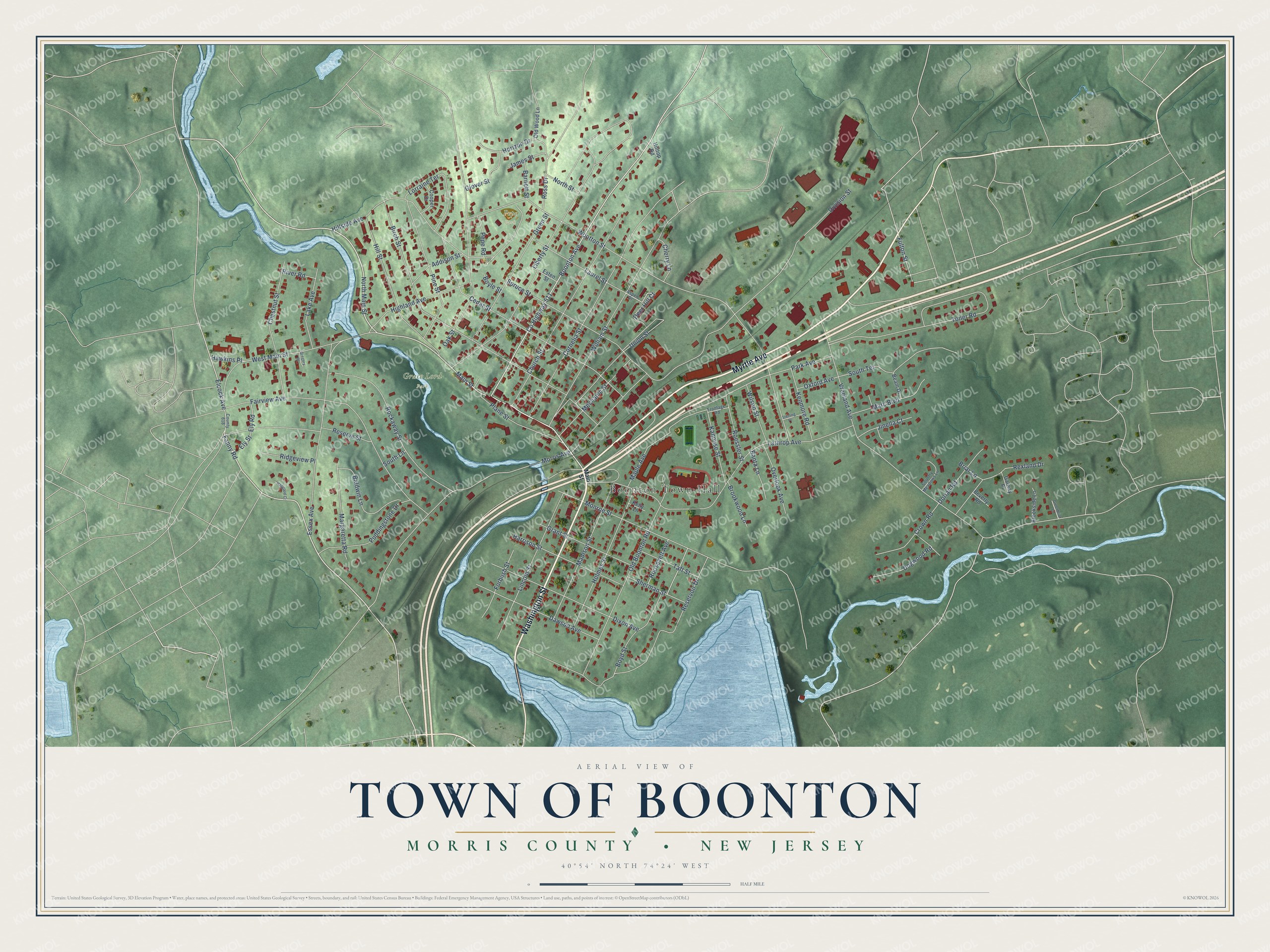
This beautifully detailed map of the Town of Boonton, Morris County, New Jersey was created in 2026 using aerial imagery combined with modern topographical, census, street and landmark data. It’s a one-of-a-kind view of the Town of Boonton that combines accurate data with a vintage aesthetic. The map shows every building in its true location, many of the roads carry their names, and the shaded topographic relief shows the shape of the land.
Explore an aerial view of the Town of Boonton, Morris County, New Jersey
On the map you’ll find Boonton Town Hall, Grace Lord Park, and Greenwood Cemetery, along with Myrtle Avenue, Washington Street, Fanny Road, Main Street, and more. If you look closely you can even find your house accurately drawn in its correct location. Zoom in on the preview to look for yours.
Did You Know?
Bakelite, the early plastic, was first made and sold commercially in Boonton. Large rubber companies had turned down the new product. Local man Richard W. Seabury took a chance on it and opened an old rubber works to make it. Before that, Boonton ranked among the largest iron centers in the country for about 50 years. That’s from the 1939 WPA guide to New Jersey.
Take a closer look at the Town of Boonton, Morris County map
Names on this map
These names are printed on this map.
Places: Boonton Town Hall, Grace Lord Park and Pepe Park.
Streets and roads: Myrtle Avenue, Washington Street, Fanny Road, County Highway 511, Main Street, Hillside Avenue, Fulton Street, Elcock Avenue, Wootton Street, Division Street, Vreeland Avenue, Monroe Street.
More street names, A to Z
Addison Street, Aspen Drive, Baldwin Lane, Banta Lane, Barnett Street, Beam Drive, Beverly Road, Birch Street, Boonton Avenue, Boyd Street, Boyle Street, Briar Lane, Brookside Lane, Brookwood Lane, Cedar Street, Cherry Lane, Chestnut Street, Church Street, Cooper Drive, Cornelia Street, Country Meadows Lane, County 618, Crown Road, Dawson Avenue, Deer Hill Court, Dixon Avenue, Dogwood Road, Dorian Road, Ely Road, Ely Street, Essex Avenue, Esten Street, Fairview Avenue, Forbush Street, Frontage Road, Galway Place, Glover Street, Grant Street, Greenbriar Court, Green Street, Gregory Drive, Hapgood Court, Harrison Street, Hawkins Place, Highland Avenue, Hill Street, Hilltop Road, Holmes Street, Horizon Drive, James Street, Jinella Court, Kanouse Street, Kelly Lane, Kenmore Road, Lake Avenue, Lathrop Avenue, Laurel Street, Liberty Street, Lincoln Street, Lorraine Terrace, Madison Street, Maple Avenue, Marc Boulevard, Margaretta Road, Mechanic Street, Morris Avenue, North Main Street, North Street, Oak Street, Old Boonton Road, Old Wood Lane, Overlook Avenue, Oxford Avenue, Park Avenue, Pepe Road, Pine Street, Plane Street, Puddingstone Drive, Reserve Street, Reservoir Drive, Rexland Drive, Ridgeview Place, River Road, Rockaway Street, Roessler Street, Roosevelt Avenue, Ross Drive, Sherman Street, South Lane, South Terrace, Spruce Street, Sterling Place, Taft Street, Toner Road, Union Street, West Main Street, William Street, Wilson Street.
See it on a wall
The Boonton, Morris County map as an 18 x 24 inch print in a black frame.

This beautifully detailed map of the Town of Boonton, Morris County makes an attractive addition to your office, library, or den, and it can even be used to teach children the geography and history of the area. It also makes a great gift for someone who left the Town of Boonton and still calls it home. When you’re done exploring, click here to get your copy of the Town of Boonton, Morris County map.