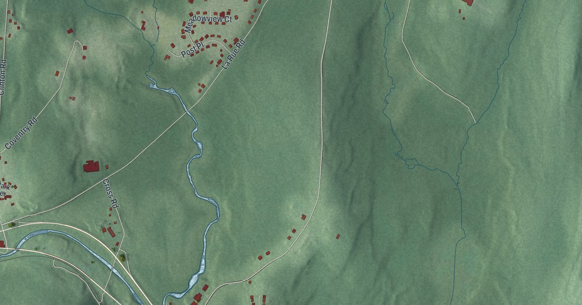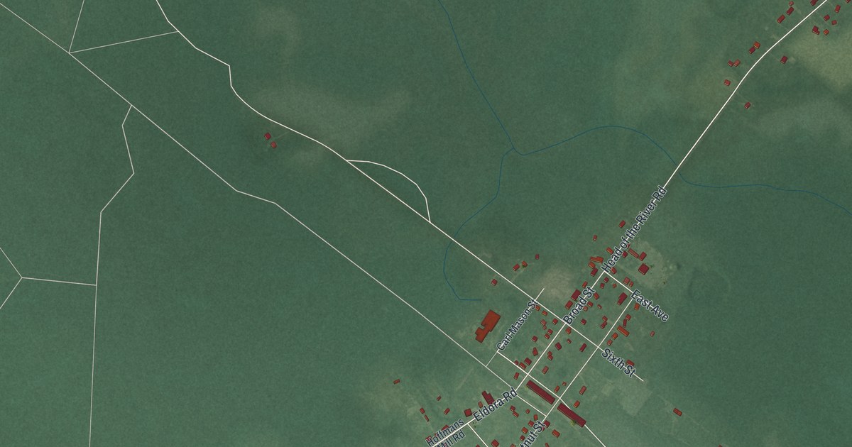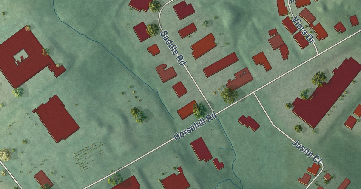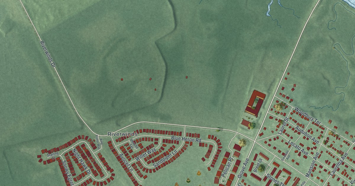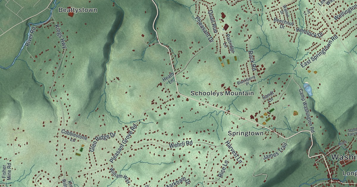
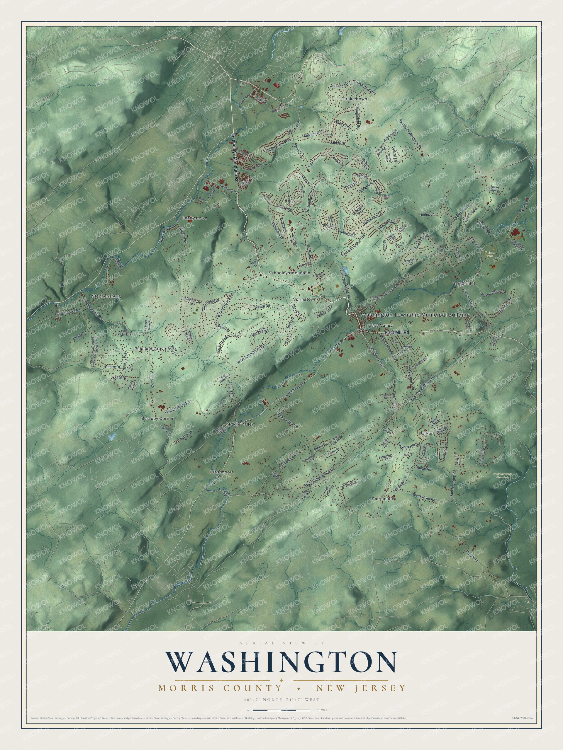
This beautifully detailed map of Washington, Morris County, New Jersey was created in 2026 using aerial imagery combined with modern topographical, census, street and landmark data. It’s a one-of-a-kind view of Washington that combines accurate data with a vintage aesthetic. The map shows every building in its true location, many of the roads carry their names, and the shaded topographic relief shows the shape of the land.
Explore an aerial view of Washington, Morris County, New Jersey
On the map you’ll find Washington Township Municipal Building, Beattystown, Crestmoore, Drakestown, Fairmount, Long Valley, Hacklebarney State Park, and Palmer Park, along with Schooleys Mountain Road, Mill Road, Beacon Hill Road, Old Farmers Road, and more. If you look closely you can even find your house accurately drawn in its correct location. Zoom in on the preview to look for yours.
Did You Know?
The New Jersey Legislature created this township from part of Roxbury in 1798. It was named for George Washington. It became the first Washington Township incorporated in New Jersey. In 1983, voters turned down a plan to rename it Long Valley.
Take a closer look at the Washington, Morris County map
Names on this map
These names are printed on this map.
Places: Washington Township Municipal Building, Hacklebarney State Park, Palmer Park, Beattystown, Crestmoore, Drakestown, Fairmount, Long Valley, Middle Valley, Naughright, Parker, Pleasant Grove, Schooleys Mountain, Scrappy Corner, Springtown and Stephensburg.
Streets and roads: Schooleys Mountain Road, East Mill Road, County Highway 513, West Mill Road, West Valley Brook Road, County Highway 517, Beacon Hill Road, Old Farmers Road, Bartley Drakestown Road, Heron Drive, Naughright Road, Drakestown Road.
More street names, A to Z
Abedim Way, Acorn Drive, Allyson Court, Ann Road, Apgar Road, Arbor Way, Ascot Drive, Bartley Road, Beechnut Drive, Bentley Way, Blackberry Place, Black River Road, Bolton Drive, Bristol Terrace, Budds Lane, Califon Road, Camp Washington Road, Carl Lane, Carriage Hill Drive, Chancellor Way, Chestnut Street, Cider Mill Lane, Cindy Lane, Cobblestone Lane, Coleman's Road, Coleman Road, Colemans Road, Crest Drive, Deer Path, Dorset Road, Douglas Drive, East Avenue, East Fox Hill Road, East Gate Road, East Springtown Road, East Valley Brook Road, Edgeview Drive, Elizabeth Lane, Esna Drive, Evita Terrace, Fairmount Road, Fairview Avenue, Fawnridge Drive, Fieldstone Drive, Fisher Mine Road, Fleming Court, Flintlock Drive, Flocktown Road, Frog Hollow Road, Gentry Drive, Glen Ridge Drive, Hacklebarney Road, Harvest Lane, Heath Lane, Heath Village, Hemlock Drive, Hidden Glen Road, Highland Avenue, High Meadow Lane, Hollow Brook Road, Indian Run Road, Ivy Lane, Jackie Drive, James Trail, Janet Drive, Jones Lane, Kim Lane, Kings Highway, Kings Ridge Road, Knob Hill Road, Krista Court, Laketown Road, Laurel Drive, Lenore Court, Lexington Way, Liberty Hills Court, Long Hill Road, Long Valley Boulevard, Mallard Cove Road, Maple Lane, Markham Drive, Maude Lane, Merrill Place, Middle Valley Road, Mission Road, Mountain View Avenue, Mount Lebanon Road, Nancy Terrace, Nestlingwood Drive, Newburgh Road, North Bridge Drive, North Four Bridges Road, North Mount Lebanon Road, Old Turnpike Road, Overlook Drive, Parker Road, Parkview Drive, Partridge Lane, Paula Drive, Peach Tree Road, Pheasant Drive, Pickle Road, Pleasant Grove Road, Quail Run, Ramsey Way, Ranney Road, Reservoir Road, Rice Lane, Ridgeline Drive, River Road, Rock Road, Ruth Lane, Ryan Court, Sand Hill Road, Sandt Lane, Scenic Falls Road, Shadow Hill Way, Shenandoah Court, Sherwood Village, Sierra Drive, Skytop Road, South Four Bridges Road, Spring Lane, Squire Hill Road, Stephensburg Road, Stone Briar Drive, Stone House Road, Stuart Court, Surrey Lane, Tall Timber Drive, Thomas Farm Lane, Turtleback Road, Upper Sunset Drive, Vernoy Road, Waldon Road, Walnut Drive, Wehrli Road, Wellington Drive, West Fox Hill Road, West Springtown Road, William Way, Winay Terrace, Winay Terrace West, Wolfe Run Court, Yorkshire Drive, Zellers Road.
See it on a wall
The Washington, Morris County map as an 18 x 24 inch print in a black frame.

This beautifully detailed map of Washington, Morris County makes an attractive addition to your office, library, or den, and it can even be used to teach children the geography and history of the area. It also makes a great gift for someone who left Washington and still calls it home. When you’re done exploring, click here to get your copy of the Washington, Morris County map.