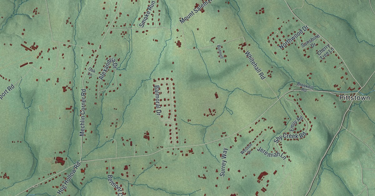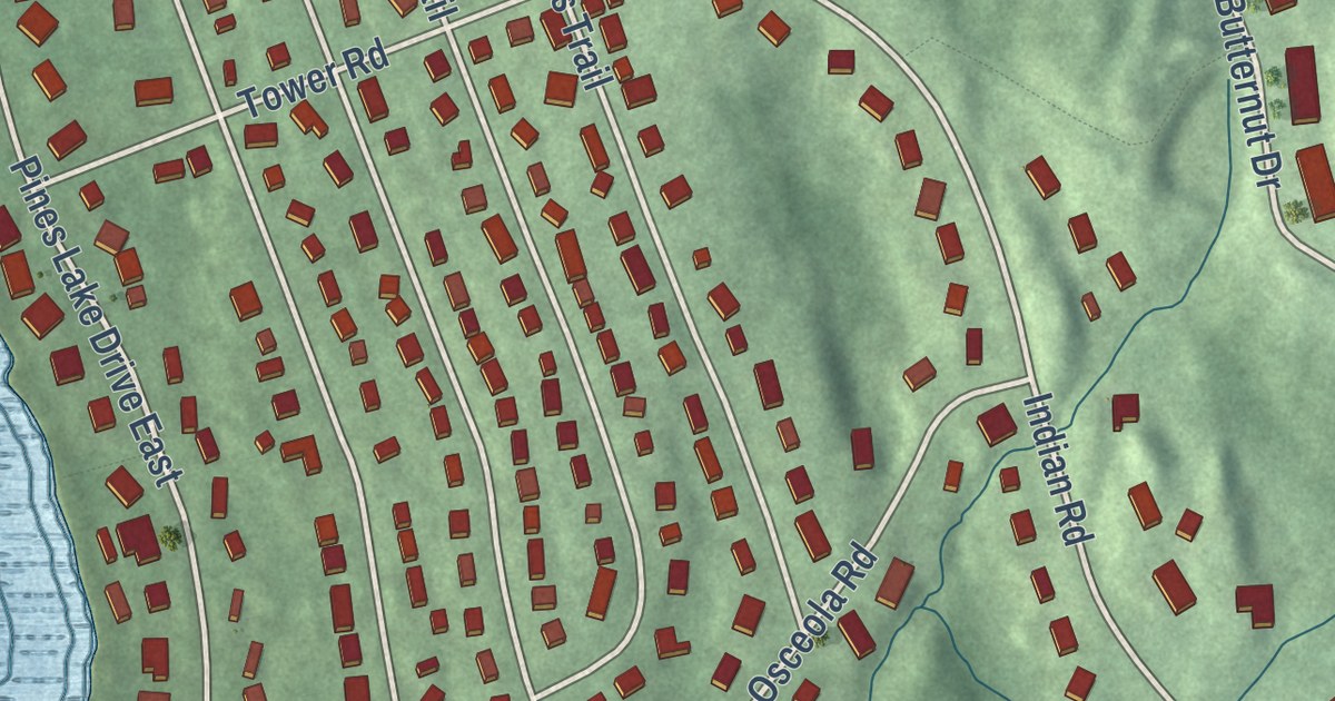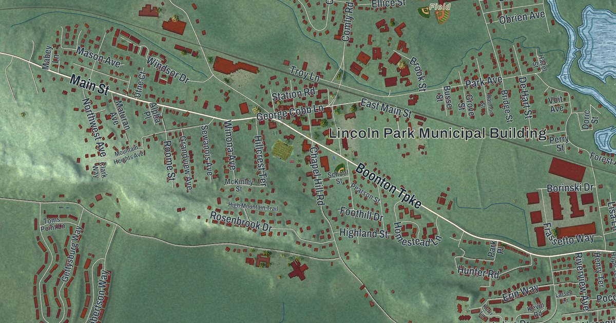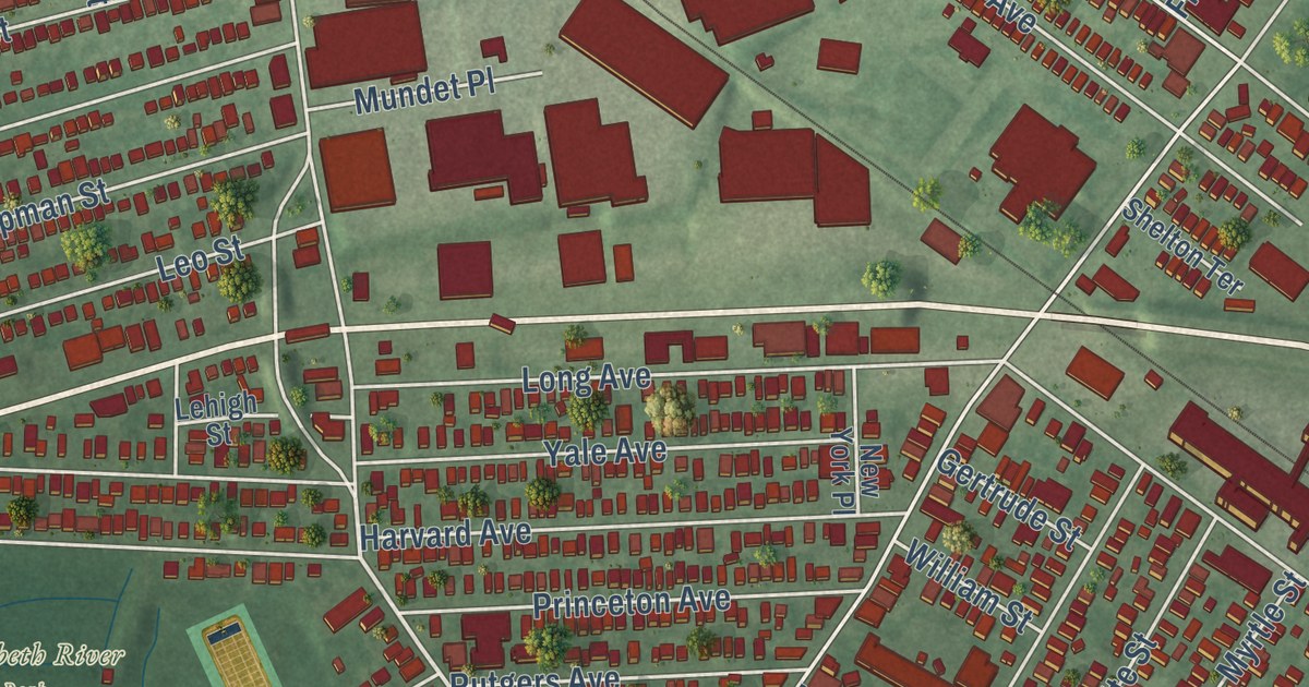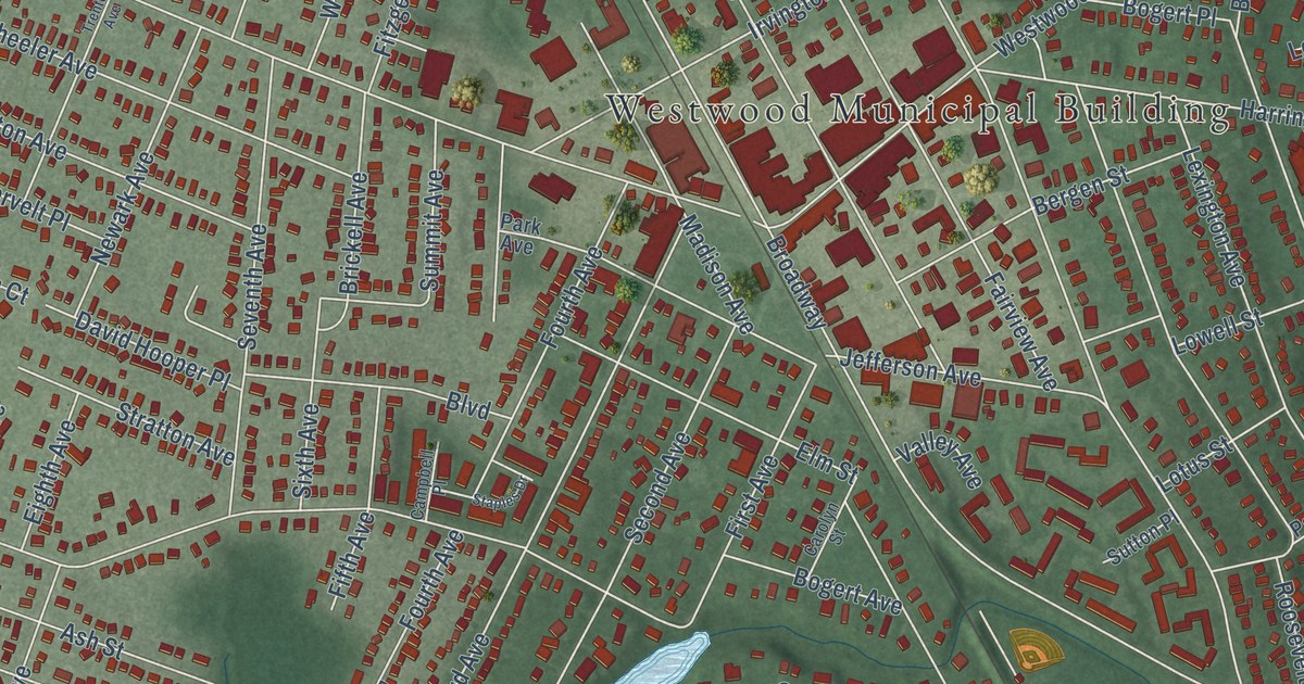
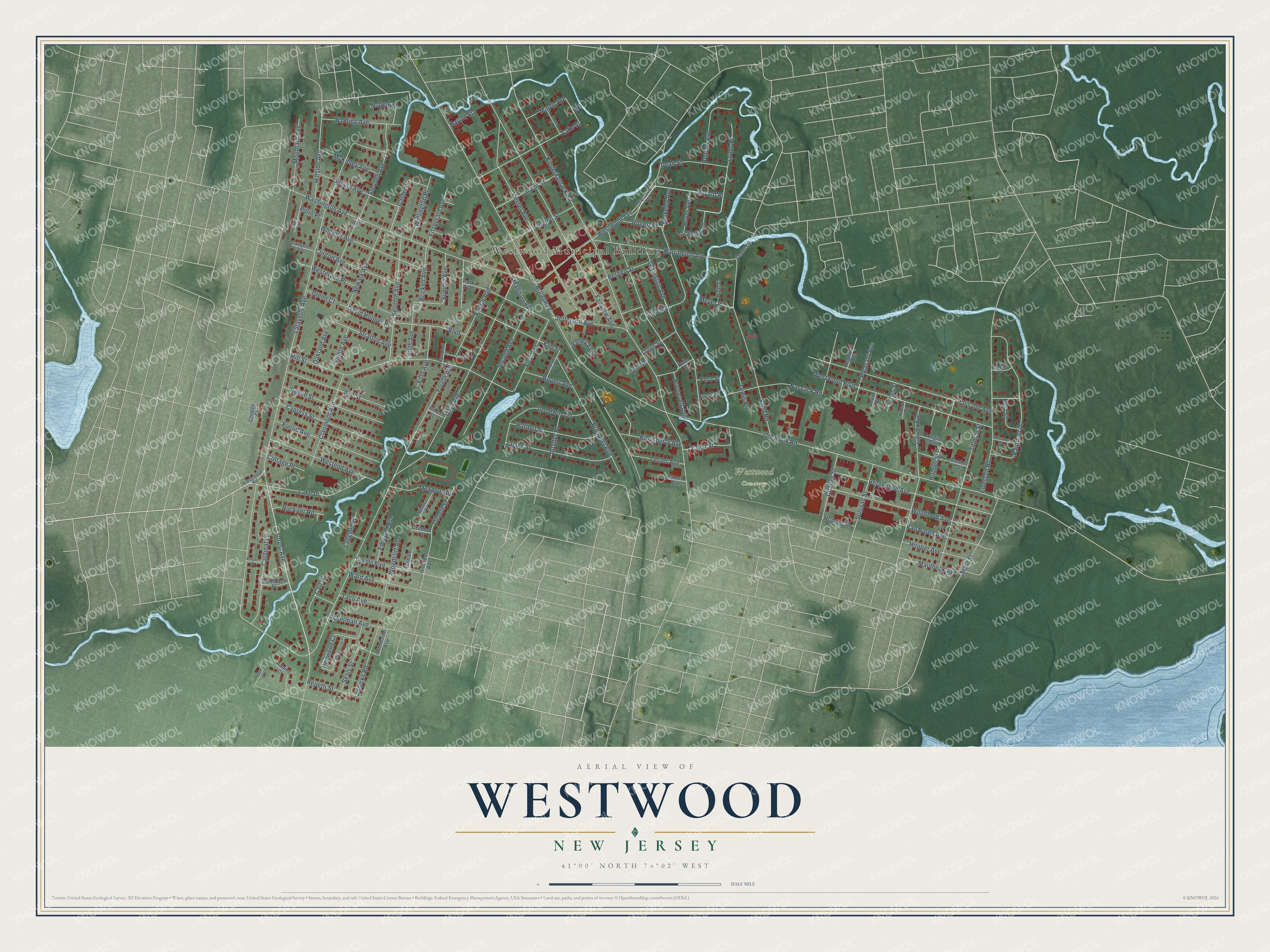
This beautifully detailed map of Westwood, New Jersey was created in 2026 using aerial imagery combined with modern topographical, census, street and landmark data. It’s a one-of-a-kind view of Westwood that combines accurate data with a vintage aesthetic. The map shows every building in its true location, many of the roads carry their names, and the shaded topographic relief shows the shape of the land.
Explore an aerial view of Westwood, New Jersey
On the map you’ll find Westwood Municipal Building and Bryant Place, along with Forest Avenue, Lockerby Lane, Lafayette Avenue, and more. If you look closely you can even find your house accurately drawn in its correct location. Zoom in on the preview to look for yours.
Did You Know?
Westwood began to grow when the Hackensack and New York Railroad arrived in 1870. Trains started carrying riders to New York City on March 5, 1870, with a ferry ride from Jersey City. Several small hotels soon rose near the depot.
Take a closer look at the Westwood map
Names on this map
These names are printed on this map.
Places: Westwood Municipal Building and Westwood Cemetery.
Streets and roads: Forest Avenue, Lockerby Lane, Bryant Place, Lafayette Avenue, Old Hook Road, Kinderkamack Road, Broadway, Fourth Avenue, Washington Avenue, Fairview Avenue, Mill Street, Third Avenue.
More street names, A to Z
Ackerman Avenue, Adams Court, Addicks Road, Alvin Street, Ash Street, Beech Street, Benson Avenue, Bergenline Avenue, Bergen Street, Berkeley Avenue, Best Street, Bogert Avenue, Bogert Place, Booker Street, Boulevard, Brickell Avenue, Brook Place, Burger Place, Campbell Place, Cardinal Lane, Carl Place, Carolyn Street, Carver Avenue, Cedar Lane, Center Avenue, Chappy Court, Charles Street, Clairmont Avenue, Clinton Avenue, Cottage Place, Crest Street, Cypress Street, David Hooper Place, Dean Street, Dogwood Court, Douglas Street, Eighth Avenue, Elm Street, Emerson Road, Emwood Avenue, Euclid Avenue, Fern Street, Fifth Avenue, First Avenue, Fitzgerald Avenue, Garden Place, Gladys Place, Glenn Court, Goodwin Terrace, Grand Street, Green Avenue, Gritman Court, Grove Street, Harding Avenue, Harold Street, Harrington Avenue, Hegeman Avenue, High Street, Hillcrest Avenue, Hillside Avenue, Hooper Street, Hopper Avenue, Hopper Place, Hoyer Avenue, Hudson Street, Hurlbut Street, Irvington Street, James Street, Jefferson Avenue, Jones Street, Kaufman Drive, Kennedy Terrace, Kingsberry Avenue, Lafayette Terrace, Lake Drive, Lake Street, Langner Place, Lee Court, Lester Avenue, Lewis Place, Lexington Avenue, Lincoln Avenue, Lincoln Boulevard, Lotus Street, Lowell Street, Lyons Place, Madison Avenue, Main Street, Maple Avenue, Maulbeck Avenue, McDaniels Street, McKinley Avenue, Meadow Road, Meyer Place, Mountain Avenue, Newark Avenue, Nogent Place, Oakland Avenue, Otoole Street, Palisade Avenue, Palm Street, Park Avenue, Pascack Road, Passmore Street, Pine Street, Pleasant Avenue, Polin Place, Prospect Avenue, Repetti Street, Ridgewood Road, Roosevelt Avenue, Ruckner Road, Sand Road, Sealy Street, Second Avenue, Seventh Avenue, Sixth Avenue, Staples Drive, Steinbach Place, Steuben Avenue, Stratton Avenue, Sullivan Street, Summit Avenue, Sutton Place, Sycamore Court, Taco Avenue, Terrace Drive, Tillman Street, Trenton Avenue, Valley Avenue, Van Buren Avenue, Ward Avenue, Wellington Place, Westend Avenue, Westervelt Place, Westwood Avenue, Westwood Boulevard, Whalen Court, Wheeler Avenue, William Street, Woodcliff Avenue, Woodland Avenue, Woodside Avenue.
See it on a wall
The Westwood map as an 18 x 24 inch print in a black frame.

This beautifully detailed map of Westwood makes an attractive addition to your office, library, or den, and it can even be used to teach children the geography and history of the area. It also makes a great gift for anyone with Westwood roots. When you’re done exploring, click here to get your copy of the Westwood map.